
Hill forts · South West England
Ridgeway Hill Viking burial pit
In or near Winterborne St Martin.
Ridgeway Hill Viking burial pit is a hill fort in the United Kingdom.

Wikimedia Commons licence
Plan your visit
- Typical visit
- 1 h–2 h
- Nearest railway station
- Upwey · 2.5 km
- Free entry
- Dog-friendly
Getting there & planning your visit
To visit Ridgeway Hill Viking burial pit, the nearest railway station is Upwey, located 2.5 km away. The postcode for sat-nav is DT3 5PZ, and entry to the site is free.
About
Ridgeway Hill Viking burial pit is a hill fort in the United Kingdom. Coordinates: 50.6710°, -2.4660°. This entry is part of The Great Britain Guide, a free, ad-free, open-data tourist directory.
Photo gallery
See it from the streetimagery from 2026
Imagery © Mapillary contributors, CC BY-SA 4.0
Protected designations
- Site of Special Scientific Interest: Chesil & The Fleet SSSI
- Area of Outstanding Natural Beauty: Dorset
Designations sourced from Natural England open data under OGL v3.
From the Wikipedia article
The Ridgeway Hill Viking burial pit at Ridgeway Hill near Weymouth, Dorset, was a mass grave of 54 skeletons, including 51 skulls, of Scandinavian men executed some time between AD 970 and 1025. The men are believed to have been Vikings executed by local Anglo-Saxons. The dismembered skeletons were discovered by archaeologists in June 2009, and their identity and approximate ages were later confirmed by forensic analyses. Although the immediate circumstances of the deaths is unknown, the event occurred at a time of conflict between the native Anglo-Saxons and Viking invaders, and it has been suggested that the Vikings had been captured during an attempted raid into Anglo-Saxon territory. There is a possibility it could be linked to the St. Brice's Day massacre order of 1002. It is suggested that the 'Oxford Massacre' was not an isolated incident and could have been part of a kingdom-wide order to eradicate the Vikings.
Excerpt from Wikipedia under CC BY-SA 4.0. See the source article linked in Sources below.
- Coordinates
- 50.6710, -2.4660
- District
- Dorset
- Parish
- Bincombe
- Postcode
- DT3 5PZ
- Parliamentary constituency
- West Dorset
- Nearest railway station
- Upwey — 2.5 km
Sources
- wikidata: Q7332823 (CC0)
- wikipedia: Ridgeway Hill Viking burial pit (CC BY-SA 4.0)
Other places nearby

Upwey Mill
Mills · 1.2 km

Upwey
Villages · 1.2 km

The Royal Standard Public House
Historic pubs · 1.3 km
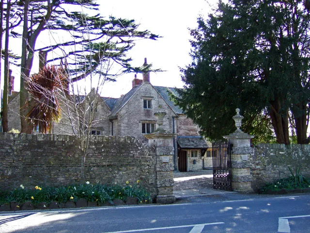
Upwey Manor
Stately homes · 1.6 km

West Manor
Manor houses · 1.6 km

The Manor House
Caravan parks · 2.2 km

Jurassic Stones
Public art & sculpture · 2.2 km

Winterborne Monkton
Villages · 2.5 km

The Old Swan Public House
Historic pubs · 2.6 km

Romano British Temple
Archaeological sites · 2.7 km

Maiden Castle
Hill forts · 2.7 km

Herringston House
Historic houses · 2.9 km
Nearby
📷 5📷 5📷 5Historic pubs · South West England
The Royal Standard Public House
The Royal Standard Public House in England South West, United Kingdom.
Flagship📷 5Stately homes · South West England
Upwey Manor
Upwey Manor — manor house in Upwey, Weymouth, Dorset, England, UK.
📷 5Manor houses · South West England
West Manor
West Manor — Grade II listed building-listed manor in england-south-east, United Kingdom.
📷 5Caravan parks · South West England
The Manor House
The Manor House — a caravan park in england south east.
Where to eat & stay near Ridgeway Hill Viking burial pit
Places to stay
📷 5Caravan parks · South West England
The Manor House
The Manor House — a caravan park in england south east.
 📷 5
📷 5Campsites · South West England
Higher Moor Farm Campsite
Higher Moor Farm Campsite — a campsite in england south east.
📷 5Campsites · South West England
Wych Elm Caravan Park
Wych Elm Caravan Park — a campsite in england south east.
 📷 5
📷 5Campsites · South West England
South Buckland Farm
South Buckland Farm — a campsite in england south east.
 📷 5
📷 5Caravan parks · South West England
Weymouth Bay Holiday Park
Weymouth Bay Holiday Park — a caravan park in england south east.
 📷 5
📷 5Caravan parks · South West England
South Buckland Farm
South Buckland Farm — a caravan park in england south east.
Places to eat & drink
📷 5Historic pubs · South West England
The Royal Standard Public House
The Royal Standard Public House in England South West, United Kingdom.
📷 7Historic pubs · South West England
The Old Swan Public House
The Old Swan Public House in England South West, United Kingdom.
 📷 7
📷 7Historic pubs · South West England
The Spice Ship Inn
The Spice Ship Inn in England South West, United Kingdom.
 📷 5
📷 5Historic pubs · South West England
Junction Hotel
Junction Hotel in England South West, United Kingdom.
 📷 5
📷 5Historic pubs · South West England
Plume Of Feathers Public House
Plume Of Feathers Public House in England South West, United Kingdom.
 📷 7
📷 7Historic pubs · South West England
Old House at Home
Old House at Home in England South West, United Kingdom.
More places in this region
Flagship📷 10Hill forts · South West England
Maiden Castle
Maiden Castle — Iron Age hill fort in Dorset, England, UK.
 📷 5
📷 5Hill forts · South West England
All Cannings Cross
All Cannings Cross — archaeological site in All Cannings, Wiltshire, England, UK.
 📷 5
📷 5Hill forts · South West England
Aquae Sulis
Aquae Sulis — town in Roman Britain on the site of Bath, England.
 📷 5
📷 5Hill forts · South West England
Aston Valley Barrow Cemetery
Aston Valley Barrow Cemetery — group of Bronze Age burial mounds in England.
Frequently asked questions
- Where is Ridgeway Hill Viking burial pit?
- Ridgeway Hill Viking burial pit is in South-West England, United Kingdom (postcode DT3 5PZ), in the parish of Bincombe.
- What is Ridgeway Hill Viking burial pit?
- Ridgeway Hill Viking burial pit is a hill fort in the United Kingdom.
- How do I get to Ridgeway Hill Viking burial pit?
- The nearest railway station is Upwey, about 2.5 km away. The nearest town is Winterborne St Martin. Drivers can use postcode DT3 5PZ.
- Is Ridgeway Hill Viking burial pit a protected site?
- Yes — Ridgeway Hill Viking burial pit is part of the Chesil & The Fleet SSSI Site of Special Scientific Interest and the Dorset National Landscape (AONB).
- Is Ridgeway Hill Viking burial pit free to visit?
- Yes, Ridgeway Hill Viking burial pit is free to enter.
- How do I get to Ridgeway Hill Viking burial pit?
- The nearest railway station is Upwey, about 2.5 km away. Drivers can navigate to postcode DT3 5PZ.