
Archaeological sites · South West England
Rider's Rings
In or near South Brent.
Rider's Rings — an archaeological site in South West England, United Kingdom.

Adrian Platt — CC BY-SA 2.0 via Wikimedia Commons licence

Plan your visit
- Typical visit
- 45 min–1.5 h
- Nearest railway station
- Buckfastleigh · 7.0 km
- Free entry
- Dog-friendly
About
Rider's Rings is an archaeological site located in South West England, United Kingdom. Sourced from OpenStreetMap (ODbL licence); see local listings for visitor information, opening hours and admission details.
Photo gallery
Protected designations
- Site of Special Scientific Interest: South Dartmoor SSSI
Designations sourced from Natural England open data under OGL v3.
Place summary
Rider's Rings is an archaeological site located in South-West England. It features significant earthworks believed to date back to prehistoric times, providing insight into ancient land use and settlement patterns.
AI-generated from the structured facts on this page (operator, designation, listing, era). Not a substitute for visiting.
- Coordinates
- 50.4640, -3.8628
- County
- Devon
- District
- South Hams
- Parish
- South Brent
- Postcode
- TQ10 9ED
- Parliamentary constituency
- South Devon
- Nearest railway station
- Buckfastleigh — 7 km
Sources
- osm: way/168180893 (ODbL)
Other places nearby

Shipley Bridge
Historic bridges · 1.5 km

Enclosed Settlement
Archaeological sites · 1.6 km
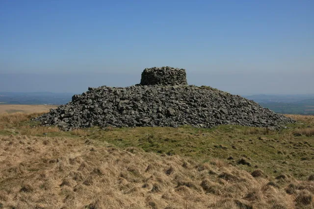
Eastern White Barrow
Archaeological sites · 1.6 km

Zeal Bridge
Historic bridges · 1.9 km
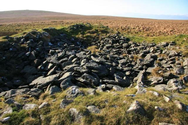
Knatta Barrow
Archaeological sites · 1.9 km

Huntingdon Cross
Memorials & monuments · 2.3 km
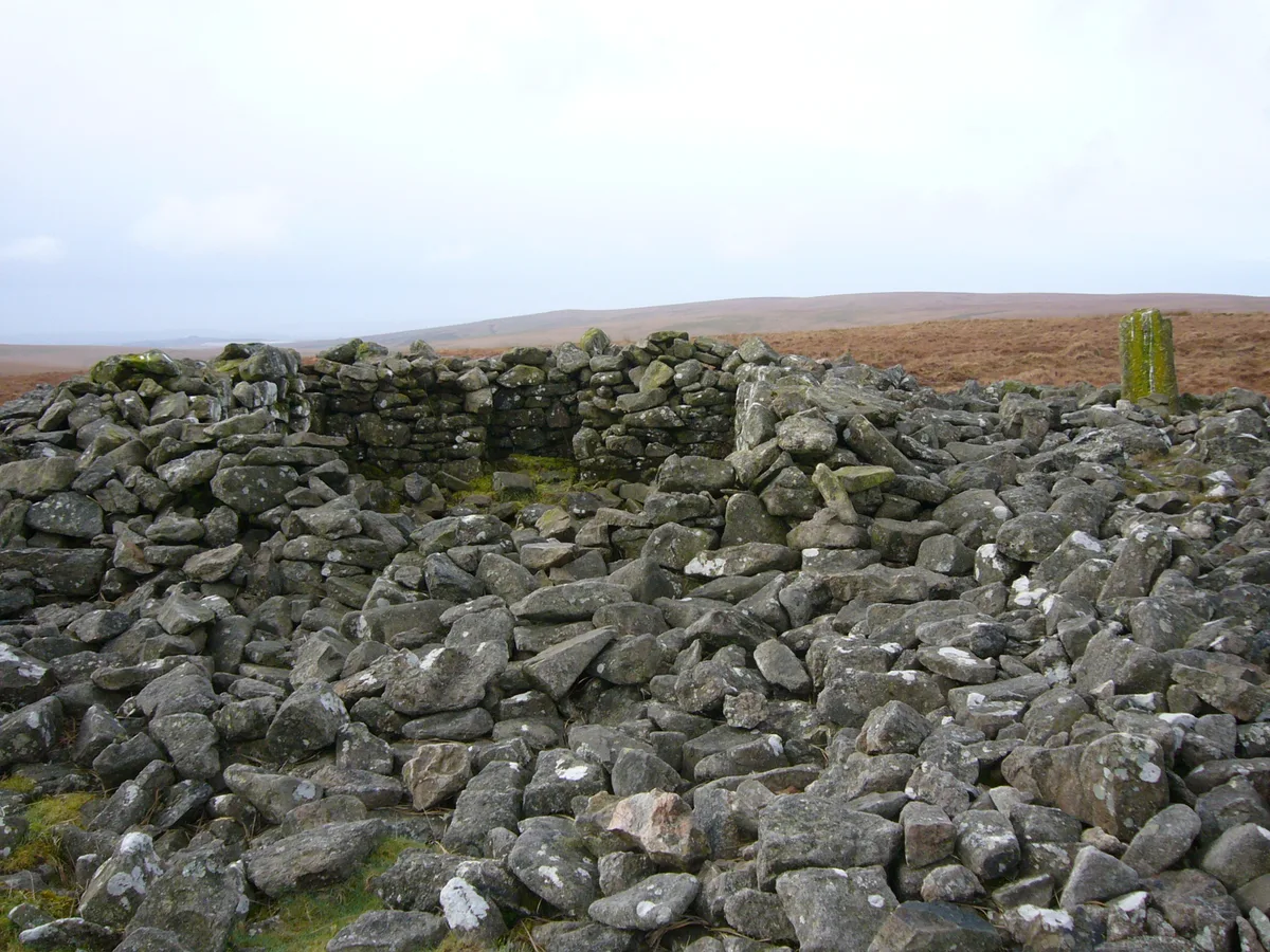
Western White Barrow
Archaeological sites · 2.8 km

Petre's Cross
Memorials & monuments · 2.8 km

Huntingdon Clapper Bridge
Historic bridges · 2.8 km

Bronze Spearhead Found
Archaeological sites · 2.9 km

Pillow Mounds (Warrens)
Archaeological sites · 3.0 km

Huntingdon Barrow
Burial mounds & barrows · 3.1 km
Nearby
📷 4Historic bridges · South West England
Shipley Bridge
Shipley Bridge — Grade II listed building-listed bridge in england-south-west, United Kingdom.
📷 3Archaeological sites · South West England
Enclosed Settlement
Enclosed Settlement — an archaeological site in South West England, United Kingdom.
📷 5Archaeological sites · South West England
Eastern White Barrow
Eastern White Barrow — archaeological site in South Brent, South Hams, England, UK.
📷 3Historic bridges · South West England
Zeal Bridge
Zeal Bridge — Grade II listed building-listed bridge in england-south-west, United Kingdom.
📷 5Archaeological sites · South West England
Knatta Barrow
Knatta Barrow — archaeological site in South Brent, South Hams, England, UK.
📷 4Memorials & monuments · South West England
Huntingdon Cross
Huntingdon Cross — a memorial in South West England, United Kingdom.
Where to eat & stay near Rider's Rings
Places to stay
 📷 7
B&Bs · South West England
The Pack Horse Inn
The Pack Horse Inn — a bed-and-breakfast in england south west.
 📷 5
Hostels · South West England
South Dartmoor Bunkhouse (Groups only)
South Dartmoor Bunkhouse (Groups only) — a hostel in england south west.
 📷 5
Campsites · South West England
Ashbourne Woods Campsite
Ashbourne Woods Campsite — a campsite in england south west.
 📷 5
Caravan parks · South West England
Churchill Farm Campsite
Churchill Farm Campsite — a caravan park in england south west.
 📷 5📷 5
Hostels · South West England
Harford Bunkhouse
Harford Bunkhouse — a hostel in england south west.
Places to eat & drink
 📷 5
Cafés · South West England
Station House
Station House — a café in england south west.
 📷 5
Historic pubs · South West England
Church House Inn
Church House Inn in England South West, United Kingdom.
 📷 5
Restaurants · South West England
Furzeleigh Mill
Furzeleigh Mill — a restaurant in england south west.
 📷 7
 📷 5
Historic pubs · South West England
The Victoria Inn
The Victoria Inn in England South West, United Kingdom.
 📷 7
Historic pubs · South West England
Royal Oak Public House
Royal Oak Public House in England South West, United Kingdom.
More archaeological sites in this region
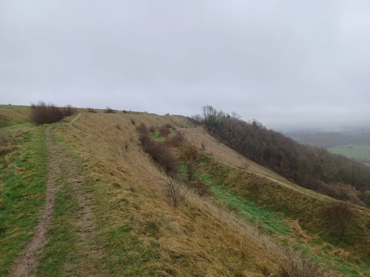 📷 5
Archaeological sites · South West England
Battlesbury Camp Monuments: hillfort, settlement, cemetery, barrows, enclosure, and field systems
Battlesbury Camp Monuments: hillfort, settlement, cemetery, barrows, enclosure, and field systems — archaeological site in Warminster, Wiltshire, England, UK.
 📷 5
Archaeological sites · South West England
Blandford Forest
Blandford Forest — forest in Blandford Forum, England.
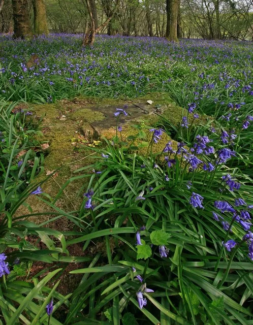 📷 5
Archaeological sites · South West England
Boulsbury Wood
Boulsbury Wood — protected area in Dorset and Hampshire, England.
 📷 5
Archaeological sites · South West England
Cranborne Chase
Cranborne Chase — Plateau in southern England.
Frequently asked questions
- Where is Rider's Rings?
- Rider's Rings is in Devon, South-West England, United Kingdom (postcode TQ10 9ED), in the parish of South Brent.
- What is Rider's Rings?
- Rider's Rings — an archaeological site in South West England, United Kingdom.
- How do I get to Rider's Rings?
- The nearest railway station is Buckfastleigh, about 7.0 km away. The nearest town is South Brent. Drivers can use postcode TQ10 9ED.
- Is Rider's Rings a protected site?
- Yes — Rider's Rings is part of the South Dartmoor SSSI Site of Special Scientific Interest.
- Is Rider's Rings free to visit?
- Yes, Rider's Rings is free to enter.
- How do I get to Rider's Rings?
- The nearest railway station is Buckfastleigh, about 7.0 km away. Drivers can navigate to postcode TQ10 9ED.