
National landscapes (AONB) · North West England
Ribble and Alt Estuaries (protected area)
Ribble and Alt Estuaries (protected area) — a other in england-north-west, United Kingdom.

Wikimedia Commons licence
Plan your visit
- Typical visit
- 3 h–6 h
- Nearest railway station
- Lytham · 3.3 km
- Dog-friendly
About
Ribble and Alt Estuaries (protected area) is a other in england-north-west, United Kingdom, listed in the Wikipedia register of British heritage and tourism sites. See the linked Wikipedia article for full details.
Photo gallery
Protected designations
- Site of Special Scientific Interest: Ribble Estuary SSSI
- National Nature Reserve: RIBBLE ESTUARY
- Ramsar wetland: Ribble & Alt Estuaries
Designations sourced from Natural England open data under OGL v3.
Place summary
Ribble and Alt Estuaries is a protected area located in North-West England. This site is significant for its diverse habitats and wildlife, including important bird species. The estuaries play a vital role in the local ecosystem and are recognised for their environmental importance.
AI-generated from the structured facts on this page (operator, designation, listing, era). Not a substitute for visiting.
Background
Architecture
The Ribble Marshes National Nature Reserve is 2302 ha in extent and it is located in the middle of the SSSI which extends to 9226 ha. There are extensive areas of intertidal sand and silt flats, and expanses of saltmarsh. The mudflats have a large invertebrate fauna on which the waders and waterbirds feed. The saltmarshes are dominated by saltmarsh grass and red fescue with cord-grass on the seaward edge. The Ramsar wetlands extend to 13464 ha and include an area of sand dunes which has interesting vegetation and provides habitat for important populations of amphibians. The whole site is of great importance to internationally important numbers of wintering waterbirds.
Sourced from Wikipedia under CC BY-SA 4.0.
- Coordinates
- 53.7100, -2.9700
- Nearest railway station
- Lytham — 3.3 km
- Official site
- rsis.ramsar.org
Sources
- wikipedia: Ribble and Alt Estuaries (protected area) (CC BY-SA 4.0)
Other places nearby

Lowther Pavilion
Open-air theatres · 2.8 km

Lowther Pavilion
Theatres · 2.8 km

Bobby Ball
Memorials & monuments · 2.9 km
The Shrimper
Memorials & monuments · 2.9 km

Lytham Windmill
Windmills · 3.0 km

Lytham
Villages · 3.0 km

War Memorial in the Front of the Victory/Parish Hall
Memorials & monuments · 3.0 km

Lytham War Memorial
Memorials & monuments · 3.1 km
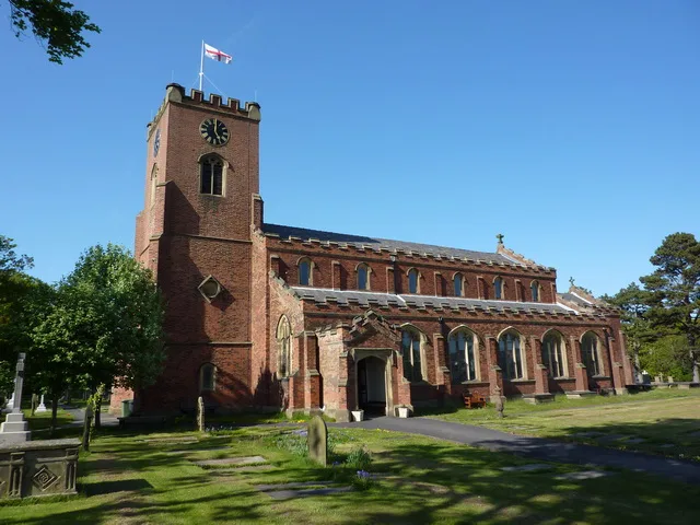
St Cuthbert's Church, Lytham
Historic churches · 3.1 km

Lifeboat Memorial, Lytham
Memorials & monuments · 3.1 km
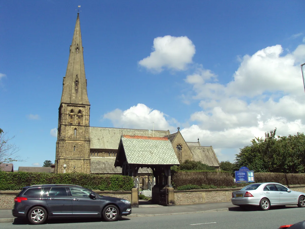
St John's Church, Lytham
Historic churches · 3.2 km

John Talbot Clifton Memorial
Memorials & monuments · 3.2 km
Nearby
📷 5Open-air theatres · North West England
Lowther Pavilion
Lowther Pavilion — a open-air theatre in england north west.
📷 3📷 4Memorials & monuments · North West England
Bobby Ball
Bobby Ball — a memorial in england-north-west, United Kingdom.
📷 3Memorials & monuments · North West England
The Shrimper
The Shrimper — a memorial in england-north-west, United Kingdom.
📷 3Windmills · North West England
Lytham Windmill
Lytham Windmill — Windmill, dating to 1805.
📷 5Where to eat & stay near Ribble and Alt Estuaries (protected area)
Places to stay
 📷 5
📷 5Caravan parks · North West England
Eastham Hall Caravan Park
Eastham Hall Caravan Park — a caravan park in england north west.
 📷 5
📷 5Caravan parks · North West England
Oaklands Caravan Park
Oaklands Caravan Park — a caravan park in england north west.
 📷 5
📷 5Caravan parks · North West England
Old Manor Farm Campsite
Old Manor Farm Campsite — a caravan park in england north west.
 📷 5
📷 5 📷 5
📷 5Caravan parks · North West England
Lynwood Residential Park
Lynwood Residential Park — a caravan park in england north west.
 📷 5
📷 5Caravan parks · North West England
Manor House Touring Caravan Site
Manor House Touring Caravan Site — a caravan park in england north west.
Places to eat & drink
 📷 5
📷 5Historic pubs · North West England
The Railway Hotel
The Railway Hotel in England North West, United Kingdom.
 📷 7
📷 7Cafés · North West England
Claude's of Churchtown
Claude's of Churchtown — a café in england north west.
 📷 7
📷 7Historic pubs · North West England
Buck I' Th' Vine Inn
Buck I' Th' Vine Inn in England North West, United Kingdom.
 📷 7
📷 7Historic pubs · North West England
The Windmill Public House
The Windmill Public House in England North West, United Kingdom.
 📷 5
📷 5 📷 7
📷 7Historic pubs · North West England
Eagle And Child Inn
Eagle And Child Inn in England North West, United Kingdom.
More national landscapes in this region
 Flagship📷 4
National landscapes (AONB) · North West England
Forest of Bowland
Lancashire's overlooked upland AONB — Pendle Hill, Bowland Knotts, the Trough of Bowland.
Frequently asked questions
- Where is Ribble and Alt Estuaries (protected area)?
- Ribble and Alt Estuaries (protected area) is in North-West England, United Kingdom.
- What is Ribble and Alt Estuaries (protected area)?
- Ribble and Alt Estuaries (protected area) — a other in england-north-west, United Kingdom.
- How do I get to Ribble and Alt Estuaries (protected area)?
- The nearest railway station is Lytham, about 3.3 km away. Its coordinates are 53.7100°, -2.9700°.
- Is Ribble and Alt Estuaries (protected area) a protected site?
- Yes — Ribble and Alt Estuaries (protected area) is part of the Ribble Estuary SSSI Site of Special Scientific Interest and the RIBBLE ESTUARY National Nature Reserve.
- How do I get to Ribble and Alt Estuaries (protected area)?
- The nearest railway station is Lytham, about 3.3 km away.