
Campsites · South Wales
Rheld Farm CL
Rheld Farm CL — a campsite in wales south.

Lewis Clarke — CC BY-SA 2.0 via Wikimedia Commons licence

Plan your visit
- Typical visit
- 1 h–2 h
- Nearest railway station
- Whistle Inn halt · 7.6 km
About
Rheld Farm CL is a campsite located in wales south. Opening hours: Jan-Mar off; Apr-Oct open "Caravan Club members only"; Nov-Dec off. Address: Abergavenny Road, Crickhowell, NP8 1ED.
Photo gallery
See it from the streetimagery from 2024
Imagery © Mapillary contributors, CC BY-SA 4.0
Protected designations
- Site of Special Scientific Interest: River Wye SSSI
Designations sourced from Natural England open data under OGL v3.
Place summary
Rheld Farm CL is a campsite located in South Wales, postcode NP8. This site offers an opportunity for camping in a rural setting, ideal for those seeking a peaceful outdoor experience. Visitors can expect basic amenities typical of a certified location, catering to caravans and motorhomes. The surrounding area features scenic landscapes, suitable for outdoor activities and exploration.
AI-generated from the structured facts on this page (operator, designation, listing, era). Not a substitute for visiting.
- Coordinates
- 51.8525, -3.1245
- District
- Powys
- Parish
- The Vale of Grwyney
- Postcode
- NP8 1ED
- Parliamentary constituency
- Brecon, Radnor and Cwm Tawe
- Nearest railway station
- Whistle Inn halt — 7.6 km
Sources
- osm: w1221128609 (ODbL)
Other places nearby

Coed Cefn
Mountains & hills · 0.9 km
Llangenny Camp
Vineyards · 0.9 km
Coed Cefn
Mountains & hills · 0.9 km

Cae Twmpan
Literary houses · 1.0 km

Dark Bridge
Historic bridges · 1.0 km

Alisby Castle
Castles · 1.1 km
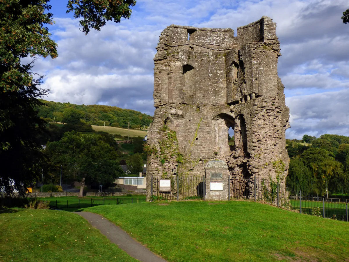
Crickhowell Castle
Castles · 1.1 km

Cwrt-y-Gollen
Historic churches · 1.1 km

Pen-pedair-heol Bridge
Historic bridges · 1.1 km

Crickhowell Tower
Literary houses · 1.1 km

Memorial Fountain
Memorials & monuments · 1.1 km

Bear Hotel
Hotels · 1.1 km
Nearby
📷 5📷 5Vineyards · South Wales
Llangenny Camp
Llangenny Camp — a UK vineyard in wales south, producing English or Welsh wine from cool-climate grape varieties.
📷 5📷 5📷 5Historic bridges · South Wales
Dark Bridge
Dark Bridge — Grade II listed building-listed bridge in wales-south, United Kingdom.
📷 5Where to eat & stay near Rheld Farm CL
Places to stay
📷 5 📷 5
📷 5Campsites · South Wales
Riverside Caravan Park
Riverside Caravan Park — a campsite in wales south.
 📷 5
📷 5Campsites · South Wales
Tudor Cule Scout Campsite
Tudor Cule Scout Campsite — a campsite in wales south.
 📷 5
📷 5 📷 5
📷 5 📷 5
📷 5Places to eat & drink
 📷 7
📷 7 📷 5
📷 5Historic pubs · South Wales
Skirrid Mountain Inn
Skirrid Mountain Inn — Historic pub — listed building or notable heritage status.

Restaurants · South Wales
The Walnut Tree
The Walnut Tree — a restaurant in wales south.
 📷 5
📷 5Historic pubs · South Wales
White Hart
White Hart — Historic pub — listed building or notable heritage status.
 📷 4
📷 4 📷 5
📷 5Historic pubs · South Wales
Cornewall Arms
Cornewall Arms in Wales South, United Kingdom.
More places in this region
 📷 5
📷 5 📷 5
📷 5 📷 5
📷 5 📷 5
📷 5Campsites · South Wales
Cwmcarn Forest Drive Campsite
Cwmcarn Forest Drive Campsite — a campsite in wales south.
Frequently asked questions
- Where is Rheld Farm CL?
- Rheld Farm CL is in South Wales, United Kingdom (postcode NP8 1ED), in the parish of The Vale of Grwyney.
- What is Rheld Farm CL?
- Rheld Farm CL — a campsite in wales south.
- How do I get to Rheld Farm CL?
- The nearest railway station is Whistle Inn halt, about 7.6 km away. Drivers can use postcode NP8 1ED.
- Is Rheld Farm CL a protected site?
- Yes — Rheld Farm CL is part of the River Wye SSSI Site of Special Scientific Interest.
- How do I get to Rheld Farm CL?
- The nearest railway station is Whistle Inn halt, about 7.6 km away. Drivers can navigate to postcode NP8 1ED.