Natural landmarks · Mid Wales
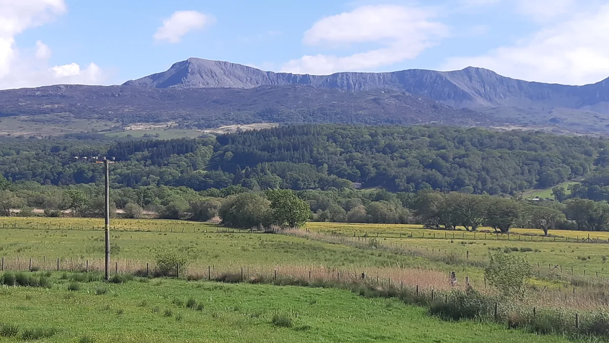
Rhayader
Also known as: Rhaeadr Gwy
In or near Rhayader Town F.C..
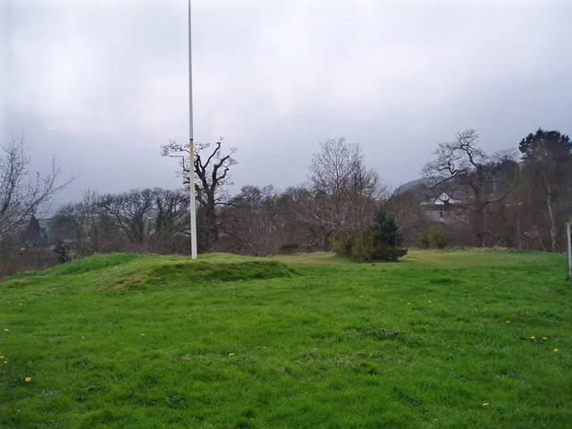
Rhayader in Wales Mid, United Kingdom.

Philip Halling — CC BY-SA 2.0 via Wikimedia Commons licence
Plan your visit
- Typical visit
- 1 h–2 h
- Free entry
- Dog-friendly
About
Rhayader is a place of interest in Wales Mid, United Kingdom — drawn from open-data sources for visitor reference. See the linked Wikipedia article for the full description.
Photo gallery
From the Wikipedia article
Rhayader (; Welsh: Rhaeadr Gwy; pronounced [ˈr̥əɪadar ˈɡʊi̯]) is a market town and community in Powys, Wales, within the historic county of Radnorshire. The town is 20 miles (32 km) from the source of the River Wye on Plynlimon, the highest point of the Cambrian Mountains, and is located at the junction of the A470 road and the A44 road 13 miles (21 km) north of Builth Wells and 30 miles (48 km) east of Aberystwyth. The 2011 census recorded the population at 2,088, with 55% of the community having some form of Welsh identity. The community is the largest in Wales by area, with 137.31 km2 (53.02 sq mi). It includes the Elan Valley. Rhayader holds the record for the lowest-ever temperature recorded in Wales, -23.3 °C on 21 January 1940.
Excerpt from Wikipedia under CC BY-SA 4.0. See the source article linked in Sources below.
Background
History
jewellery in the British Museum]] Rhayader has long been a natural stopping point for travellers – the Romans had a stop-over camp in the Elan Valley, monks travelled between the abbeys of Strata Florida and Abbeycwmhir and drovers headed to the lucrative markets with their livestock. It was not until the 12th century that a documented history of the town began with the building of Rhayader Castle in 1177. Little remains today, with the exception of a dry moat that can be seen from Wauncapel Park. In the 1890s the rapidly expanding city of Birmingham, 80 mi east, viewed the nearby Elan Valley as the ideal source of clean, safe water. This was to change the face of Rhayader forever, bringing…
Visiting
Jasper Fforde's novels Shades of Grey: The Road to High Saffron and Red Side Story are suggested to be located in a dystopian version of Rhayader called East Carmine.
Sourced from Wikipedia under CC BY-SA 4.0.
- Coordinates
- 52.3100, -3.5000
- District
- Powys
- Parish
- St. Harmon
- Postcode
- LD6 5NR
- Parliamentary constituency
- Brecon, Radnor and Cwm Tawe
Sources
Other places nearby
Gwrtheyrnion
Other places · 0.0 km

CARAD Rhayader Museum and Gallery
Museums · 0.9 km

Rhayader
Villages · 1.2 km

Wyeside Caravan & Camping Park
Campsites · 1.2 km

Gigrin Farm Red Kite Feeding Centre
Farms (open to visitors) · 1.2 km

Crown Inn
Hotels · 1.3 km

Old Swan
Historic houses · 1.3 km

Old Swan
Historic pubs · 1.3 km

Rhayader television relay station
Other places · 1.3 km

Lion Royal Hotel
Hotels · 1.3 km

Rhayader Rural District
Abbeys & priories · 1.4 km
Rhayader Castle
Castles · 1.4 km
Nearby
📷 3📷 3Museums · Mid Wales
CARAD Rhayader Museum and Gallery
CARAD Rhayader Museum and Gallery — a museum in wales-mid, United Kingdom.
📷 5📷 5Campsites · Mid Wales
Wyeside Caravan & Camping Park
Wyeside Caravan & Camping Park — a campsite in wales mid.
📷 3Farms (open to visitors) · Mid Wales
Gigrin Farm Red Kite Feeding Centre
Gigrin Farm Red Kite Feeding Centre — a other in wales-mid, United Kingdom.
📷 7Where to eat & stay near Rhayader
Places to stay
📷 5Campsites · Mid Wales
Wyeside Caravan & Camping Park
Wyeside Caravan & Camping Park — a campsite in wales mid.
📷 7📷 7 📷 5
📷 5 📷 5
📷 5 📷 5
📷 5Places to eat & drink
📷 5 📷 7
📷 7 📷 4
📷 4 📷 4
📷 4More natural landmarks in this region
 📷 3
📷 3 📷 3
📷 3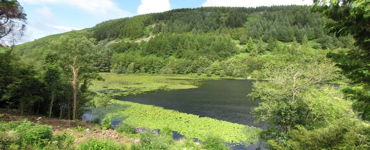 📷 3
📷 3Natural landmarks · Mid Wales
Llyn Gwernan
Llyn Gwernan is a natural landmark in the United Kingdom.
 📷 3
📷 3Frequently asked questions
- Where is Rhayader?
- Rhayader is in Mid Wales, United Kingdom (postcode LD6 5NR), in the parish of St. Harmon.
- What is Rhayader?
- Rhayader in Wales Mid, United Kingdom.
- How do I get to Rhayader?
- Drivers can use postcode LD6 5NR.
- Is Rhayader free to visit?
- Yes, Rhayader is free to enter.
- How do I get to Rhayader?
- Drivers can navigate to postcode LD6 5NR. It sits within the Brecon, Radnor and Cwm Tawe parliamentary constituency.