
Hill forts · South West England
Remains of Edington Priory
In or near Edington.
Remains of Edington Priory — Grade I listed priory in Edington, Wiltshire, England, UK.

Wikimedia Commons contributors — see linked file page for photographer and licence licence

Plan your visit
- Typical visit
- 1 h–2 h
- Nearest railway station
- Westbury · 6.7 km
- Free entry
- Dog-friendly
Getting there & planning your visit
To visit the Remains of Edington Priory, the nearest railway station is Westbury, which is 6.7 km away. Entry is free, and the location is accessible via the postcode BA13 4QJ.
About
Remains of Edington Priory is a hill fort in the United Kingdom. Records date its origin to 1301. Heritage designation: scheduled monument. Wikidata describes it as: "Grade I listed priory in Edington, Wiltshire, England, UK". Coordinates: 51.2793°, -2.1061°.
Photo gallery
See it from the streetimagery from 2019
Imagery © Mapillary contributors, CC BY-SA 4.0
Protected designations
- Site of Special Scientific Interest: Bratton Downs SSSI
- Site of Special Scientific Interest: River Avon System SSSI
- Site of Special Scientific Interest: Salisbury Plain SSSI
Designations sourced from Natural England open data under OGL v3.
From the Wikipedia article
Edington Priory in Wiltshire, England, was founded by William Edington, the bishop of Winchester, in 1351 in his home village of Edington, about 3+3⁄4 miles (6 km) east of the town of Westbury. The priory church was consecrated in 1361 and continues in use as the parish church of Saint Mary, Saint Katharine and All Saints.
Excerpt from Wikipedia under CC BY-SA 4.0. See the source article linked in Sources below.
Background
History
When Edington was recorded in Domesday Book of 1086 it was held by Romsey Abbey. The nuns of Romsey provided a church for their tenants at Edington. Remains of a late-Norman church were found during restoration in the 19th century. North Bradley was a chapelry of Edington at this time.
Description
Northeast of the church, on the road which leads to Steeple Ashton, a cottage named The Monastery Garden, possibly 16th century, is built into a stretch of wall which may have monastic origins. A large rectangular fish-pond, north of the church, may be monastic in origin. Other adjacent ponds have been filled in.
Sourced from Wikipedia under CC BY-SA 4.0.
- Coordinates
- 51.2793, -2.1061
- District
- Wiltshire
- Parish
- Edington
- Postcode
- BA13 4QJ
- Parliamentary constituency
- South West Wiltshire
- Established
- 1301
- Nearest railway station
- Westbury — 6.7 km
Sources
- wikidata: Q5338317 (CC0)
- wikipedia: Edington Priory (CC BY-SA 4.0)
- commons: Edington-Priory.jpg (CC BY-SA 4.0)
Other places nearby

Five Monuments In The Churchyard Between 0.5 And 5 Metres South Of The Chapman Cross
Memorials & monuments · 0.0 km
Two Monuments Between 14 And 17 Metres East Of Chancel Of Church Of St Mary, St Katherine And All Saints
Memorials & monuments · 0.0 km

Four Monuments In The Churchyard Between 5 And 8 Metres East Of Chancel Of Church Of St Mary, St Katherine And All Saints
Memorials & monuments · 0.0 km

Unidentified Monument In The Churchyard About 11 Metres South West Of The Chapman Cross
Memorials & monuments · 0.0 km

Church of St Mary, St Katherine And All Saints
Historic churches · 0.1 km
Two Monuments In The Churchyard About 5 Metres South Of South Transept Of Church Of St Mary, St Katherine And All Saints
Memorials & monuments · 0.1 km
_-_geograph.org.uk_-_5259583.jpg?width=1200)
The Priory
Historic houses · 0.1 km

Three Monuments In The Churchyard Between 4 And 7 Metres West Of The Church Of St Mary, St Katherine And All Saints
Memorials & monuments · 0.1 km

Edington
Towns & cities · 0.3 km
_(geograph_6495837).jpg?width=1200)
Shore House
Historic houses · 0.5 km

Edington Hill
Mountains & hills · 1.1 km
.jpg?width=1200)
Bratton House
Historic houses · 1.4 km
Nearby
📷 5Memorials & monuments · South West England
Five Monuments In The Churchyard Between 0.5 And 5 Metres South Of The Chapman Cross
Five Monuments In The Churchyard Between 0.5 And 5 Metres South Of The Chapman Cross — Grade II listed building-listed memorial in england-south-east, United Kingdom.
📷 5Memorials & monuments · South West England
Two Monuments Between 14 And 17 Metres East Of Chancel Of Church Of St Mary, St Katherine And All Saints
Two Monuments Between 14 And 17 Metres East Of Chancel Of Church Of St Mary, St Katherine And All Saints — Grade II listed building-listed memorial in england-south-east, United Kingdom.
📷 5Memorials & monuments · South West England
Four Monuments In The Churchyard Between 5 And 8 Metres East Of Chancel Of Church Of St Mary, St Katherine And All Saints
Four Monuments In The Churchyard Between 5 And 8 Metres East Of Chancel Of Church Of St Mary, St Katherine And All Saints — Grade II listed building-listed memorial in england-south-east, United Kingd
📷 5Memorials & monuments · South West England
Unidentified Monument In The Churchyard About 11 Metres South West Of The Chapman Cross
Unidentified Monument In The Churchyard About 11 Metres South West Of The Chapman Cross — Grade II listed building-listed memorial in england-south-east, United Kingdom.
📷 5Historic churches · South West England
Church of St Mary, St Katherine And All Saints
Church of St Mary, St Katherine And All Saints — Grade I listed building-listed church in england-south-east, United Kingdom.
📷 5Memorials & monuments · South West England
Two Monuments In The Churchyard About 5 Metres South Of South Transept Of Church Of St Mary, St Katherine And All Saints
Two Monuments In The Churchyard About 5 Metres South Of South Transept Of Church Of St Mary, St Katherine And All Saints — Grade II listed building-listed memorial in england-south-east, United Kingdo
Where to eat & stay near Remains of Edington Priory
Places to stay
 📷 5
📷 5 📷 5
📷 5Campsites · South West England
West Wiltshire Scouts Jubilee Wood Campsite
West Wiltshire Scouts Jubilee Wood Campsite — a campsite in england south east.
 📷 5
📷 5Campsites · South West England
Mill Farm Glamping
Mill Farm Glamping — a campsite in england south east.
 📷 5
📷 5 📷 5
📷 5Campsites · South West England
Wiltshire County Scout Centre
Wiltshire County Scout Centre — a campsite in england south east.
 📷 5
📷 5Campsites · South West England
Brokerswood Holiday Park
Brokerswood Holiday Park — a campsite in england south east.
Places to eat & drink
 📷 6
📷 6Restaurants · South West England
New China Cottage
New China Cottage — a restaurant in england south east.
 📷 5
📷 5Historic pubs · South West England
The Castle Public House
The Castle Public House in England South West, United Kingdom.
 📷 5
📷 5 📷 5
📷 5Historic pubs · South West England
The White Swan Public House
The White Swan Public House in England South West, United Kingdom.
 📷 5
📷 5Historic pubs · South West England
The Sun Public House
The Sun Public House in England South West, United Kingdom.
 📷 5
📷 5Historic pubs · South West England
Kitchener's Arms
Kitchener's Arms in England South West, United Kingdom.
Other places from this era
 📷 5
📷 5Hill forts · South East England
Ankerwycke Priory
Ankerwycke Priory — Benedictine nunnery with associated moat and fishponds.
 📷 5
📷 5Hill forts · South East England
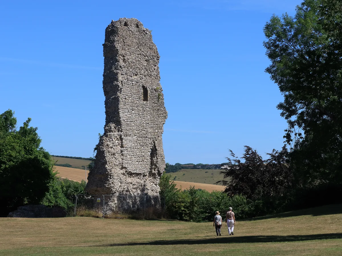
Bramber Castle
Bramber Castle — Norman castle in Bamber, West Sussex, England, UK.
 📷 3
📷 3Hill forts · South East England
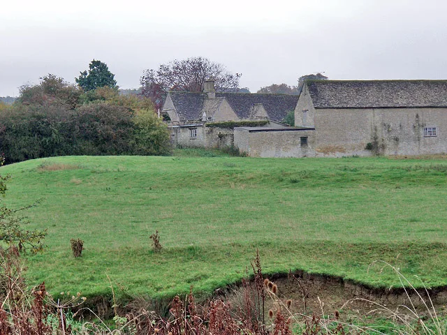
Ascot d'Oilly Castle
Ascot d'Oilly Castle — castle in Oxfordshire, England, UK.
 📷 5
📷 5Hill forts · South West England
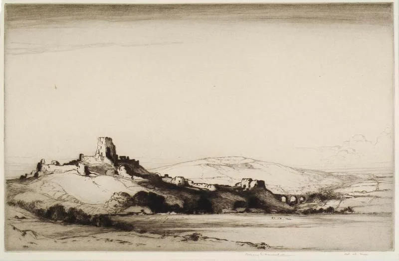
Corfe Castle
Corfe Castle — fortification in Dorset, England, UK.
More places in this region
 Flagship📷 10
Hill forts · South West England
Maiden Castle
Maiden Castle — Iron Age hill fort in Dorset, England, UK.
 📷 5
📷 5Hill forts · South West England
All Cannings Cross
All Cannings Cross — archaeological site in All Cannings, Wiltshire, England, UK.
 📷 5
📷 5Hill forts · South West England
Aquae Sulis
Aquae Sulis — town in Roman Britain on the site of Bath, England.
 📷 5
📷 5Hill forts · South West England
Aston Valley Barrow Cemetery
Aston Valley Barrow Cemetery — group of Bronze Age burial mounds in England.
Frequently asked questions
- Where is Remains of Edington Priory?
- Remains of Edington Priory is in South-West England, United Kingdom (postcode BA13 4QJ), in the parish of Edington.
- What is Remains of Edington Priory?
- Remains of Edington Priory — Grade I listed priory in Edington, Wiltshire, England, UK.
- How do I get to Remains of Edington Priory?
- The nearest railway station is Westbury, about 6.7 km away. The nearest town is Edington. Drivers can use postcode BA13 4QJ.
- When was Remains of Edington Priory built?
- Built or established in 1301.
- Is Remains of Edington Priory a listed building?
- Remains of Edington Priory is officially recognised as scheduled monument listed.
- Is Remains of Edington Priory a protected site?
- Yes — Remains of Edington Priory is part of the Bratton Downs SSSI Site of Special Scientific Interest and the River Avon System SSSI Site of Special Scientific Interest.
- Is Remains of Edington Priory free to visit?
- Yes, Remains of Edington Priory is free to enter.
- How do I get to Remains of Edington Priory?
- The nearest railway station is Westbury, about 6.7 km away. Drivers can navigate to postcode BA13 4QJ.