National parks · North East England
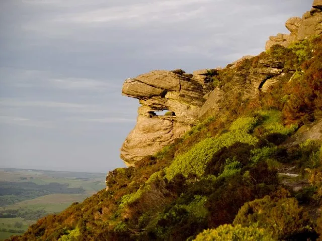
Reiver's Way
In or near Rothbury.
Reiver's Way in England North East, United Kingdom.

Russel Wills — CC BY-SA 2.0 via Wikimedia Commons licence
Plan your visit
- Typical visit
- 4 h–8 h
- Best time of year
- Spring – autumn (Apr–Oct)
- Free entry
- Family-friendly
- Dog-friendly
About
Reiver's Way is a place of interest in England North East, United Kingdom — drawn from open-data sources for visitor reference. See the linked Wikipedia article for the full description.
Photo gallery
Protected designations
- Site of Special Scientific Interest: River Coquet and Coquet Valley Woodlands SSSI
- Site of Special Scientific Interest: Northumberland Shore SSSI
Designations sourced from Natural England open data under OGL v3.
From the Wikipedia article
The Reivers Way is a long-distance footpath in Northumberland, passing through the Northumberland National Park and the Cheviot Hills. Totalling 242 kilometres (150 mi) it starts in the Roman township of Corbridge and crosses the Hexhamshire Common before heading up along Hadrians Wall. Via Wark and Rothbury it heads into the Cheviot range via Clennell Street leading up to The Cheviot before dropping down to Wooler. From Wooler the path passes through Belford to the Northumbrian Saxon's capital of Bamburgh, and then follows the Northumberland Coast Path through Seahouses to Alnmouth.
Excerpt from Wikipedia under CC BY-SA 4.0. See the source article linked in Sources below.
- Coordinates
- 55.2900, -2.0100
- District
- Northumberland
- Parish
- Hepple
- Postcode
- NE65 7LW
- Parliamentary constituency
- North Northumberland
Sources
- wikidata: Q29026543 (CC0)
- wikipedia: Reivers Way (CC BY-SA 4.0)
Other places nearby

Witchy Neuk
Vineyards · 1.3 km

Hepple
National parks · 1.4 km
Hepple Tower
Memorials & monuments · 1.4 km
Tosson Hill
Mountains & hills · 1.6 km

Ravens Heugh
Mountains & hills · 2.0 km

Wolfershiel
Vineyards · 2.2 km

Hepple - R. Ponticum woods
Viewpoints · 2.2 km
Soldiers Fold univallate hillfort, 300m south-west of Swindon
Vineyards · 2.3 km

Hetchester Camp
Vineyards · 2.3 km

Whitefield Hill
Mountains & hills · 2.4 km

Criss-Cross Rock
Memorials & monuments · 2.9 km

Weather Head
Mountains & hills · 2.9 km
Nearby
📷 5Vineyards · North East England
Witchy Neuk
Witchy Neuk — a UK vineyard in scotland lowlands, producing English or Welsh wine from cool-climate grape varieties.
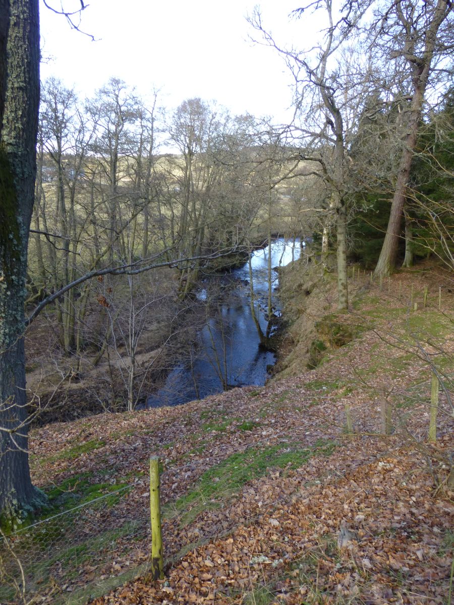
📷 4National parks · North East England
Hepple
Hepple in England North East, United Kingdom.
📷 3Memorials & monuments · North East England
Hepple Tower
Hepple Tower — scheduled monument-listed memorial in scotland-lowlands, United Kingdom.
📷 3📷 5Mountains & hills · North East England
Ravens Heugh
Ravens Heugh — mountain in scotland lowlands. Elevation: 422 m.
📷 5Vineyards · North East England
Wolfershiel
Wolfershiel — a UK vineyard in scotland lowlands, producing English or Welsh wine from cool-climate grape varieties.
Where to eat & stay near Reiver's Way
Places to stay
 📷 5
📷 5 📷 5
📷 5Caravan parks · North East England
Whitton Glebe Caravan Park
Whitton Glebe Caravan Park — a caravan park in scotland lowlands.
 📷 5
📷 5Caravan parks · North East England
Coquetdale Holiday Park
Coquetdale Holiday Park — a caravan park in scotland lowlands.
 📷 7
📷 7Hotels · North East England
Newcastle House Hotel
Newcastle House Hotel — a hotel in scotland lowlands.
 📷 5
📷 5Caravan parks · North East England
Riverside Caravan Park Rothbury
Riverside Caravan Park Rothbury — a caravan park in scotland lowlands.
 📷 5
📷 5Places to eat & drink
 📷 5
📷 5Historic pubs · North East England
The Anglers Arms
The Anglers Arms in Scotland Lowlands, United Kingdom.
 📷 5
📷 5Historic pubs · North East England
The Redesdale Arms
The Redesdale Arms in Scotland Lowlands, United Kingdom.
 📷 7
📷 7Historic pubs · North East England
Bridge Of Aln Hotel
Bridge Of Aln Hotel in Scotland Lowlands, United Kingdom.
 📷 7
📷 7 📷 7
📷 7Historic pubs · North East England
Plough Inn With Outbuilding To North
Plough Inn With Outbuilding To North in Scotland Lowlands, United Kingdom.
 📷 5
📷 5Historic pubs · North East England
Northumberland Arms
Northumberland Arms in Scotland Lowlands, United Kingdom.
More national parks in this region
 📷 4
📷 4 📷 4
📷 4National parks · North East England
Mallerstang
Mallerstang in England North East, United Kingdom.
 📷 4
📷 4National parks · North East England
Kisdon Force
Kisdon Force in England North East, United Kingdom.
 📷 4
📷 4Frequently asked questions
- Where is Reiver's Way?
- Reiver's Way is in North-East England, United Kingdom (postcode NE65 7LW), in the parish of Hepple.
- What is Reiver's Way?
- Reiver's Way in England North East, United Kingdom.
- How do I get to Reiver's Way?
- Drivers can use postcode NE65 7LW.
- Is Reiver's Way a protected site?
- Yes — Reiver's Way is part of the River Coquet and Coquet Valley Woodlands SSSI Site of Special Scientific Interest and the Northumberland Shore SSSI Site of Special Scientific Interest.
- Is Reiver's Way free to visit?
- Yes, Reiver's Way is free to enter.
- How do I get to Reiver's Way?
- Drivers can navigate to postcode NE65 7LW. It sits within the North Northumberland parliamentary constituency.