
Theatres · North West England
Regal Super Cinema
In or near Rostherne.
Regal Super Cinema in England North West, United Kingdom.

Steven Haslington — CC BY-SA 2.0 via Wikimedia Commons licence

Plan your visit
- Typical visit
- 2 h–3 h
- Nearest railway station
- Navigation Road · 0.6 km
- Limited wheelchair access
About
Regal Super Cinema is a cinema or movie theatre in England North West, United Kingdom. Britain's listed cinemas span Edwardian picture palaces, Art Deco super-cinemas of the 1930s, and the surviving independent neighbourhood houses.
Photo gallery
See it from the streetimagery from 2025
Imagery © Mapillary contributors, CC BY-SA 4.0
Place summary
The Regal Super Cinema is a theatre located in North-West England. It is notable for its historical significance as a former cinema, reflecting the architectural style of its era.
AI-generated from the structured facts on this page (operator, designation, listing, era). Not a substitute for visiting.
- Coordinates
- 53.3959, -2.3522
- District
- Trafford
- Parish
- Trafford, unparished area
- Postcode
- WA14 4PL
- Parliamentary constituency
- Altrincham and Sale West
- Nearest railway station
- Navigation Road — 0.6 km
Sources
- wikidata: Q38518557 (CC0)
Other places nearby

Atlantic Bowl
Bowling alleys · 0.3 km

Altrincham Garrick
Open-air theatres · 0.3 km

Altrincham Garrick Playhouse
Theatres · 0.3 km

The Railway
Historic pubs · 0.4 km
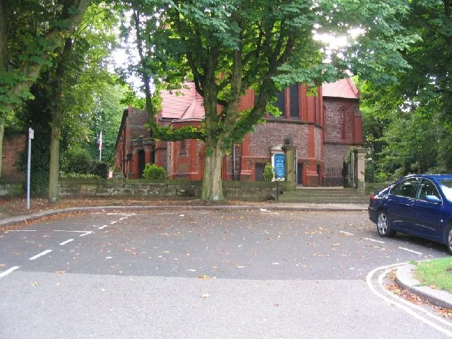
St George's Church, Altrincham
Historic churches · 0.7 km

St Alban's Church, Broadheath
Historic churches · 0.7 km

Hippodrome, Altrincham
Theatres · 0.8 km

North Cestrian School
Natural landmarks · 0.9 km

The Altrincham Market Trader
Public art & sculpture · 0.9 km

Central Thetare
Theatres · 0.9 km

Picture Theatre
Theatres · 1.0 km

Everyman Altrincham
Cinemas · 1.0 km
Nearby
📷 3Bowling alleys · North West England
Atlantic Bowl
Atlantic Bowl — a bowling in england-west-midlands, United Kingdom.
📷 5Open-air theatres · North West England
Altrincham Garrick
Altrincham Garrick — a open-air theatre in england west midlands.
📷 3Theatres · North West England
Altrincham Garrick Playhouse
Altrincham Garrick Playhouse is a theatre in the United Kingdom.
📷 7📷 3Historic churches · North West England
St George's Church, Altrincham
St George's Church, Altrincham — grade II listed church in Altrincham, Trafford, England.
📷 3Historic churches · North West England
St Alban's Church, Broadheath
St Alban's Church, Broadheath — grade II listed church in Trafford, Greater Manchester, England, UK.
Where to eat & stay near Regal Super Cinema
Places to stay
 📷 5
 📷 5
Campsites · North West England
Dunham Massey Scout Camp
Dunham Massey Scout Camp — a campsite in england west midlands.
 📷 5
Campsites · North West England
Into the Wild Bushcraft
Into the Wild Bushcraft — a campsite in england west midlands.
 📷 5
Campsites · North West England
5th Urmston (Aquilifer) Scout Camp Site
5th Urmston (Aquilifer) Scout Camp Site — a campsite in england west midlands.
 📷 5
Hotels · North West England
Dakota Hotel
Dakota Hotel — a hotel in england west midlands.
 📷 7
Places to eat & drink
📷 7 📷 5
Restaurants · North West England
Wok Inn
Wok Inn — a restaurant in england west midlands. Cuisine: chinese;oriental. 4.5-star.
📷 5 📷 7
Historic pubs · North West England
Volunteer Hotel
Volunteer Hotel — Historic pub — listed building or notable heritage status.
 📷 5
Historic pubs · North West England
Wild Alderman
Wild Alderman in England North West, United Kingdom.
 📷 5
Historic pubs · North West England
Saints & Scholars
Saints & Scholars in England North West, United Kingdom.
More theatres in this region
 📷 3📷 3
Theatres · North West England
Altrincham Garrick Playhouse
Altrincham Garrick Playhouse is a theatre in the United Kingdom.
 📷 3
Theatres · North West England
Altrincham Little Theatre
Altrincham Little Theatre is a theatre in the United Kingdom.
 📷 4
Frequently asked questions
- Where is Regal Super Cinema?
- Regal Super Cinema is in North-West England, United Kingdom (postcode WA14 4PL), in the parish of Trafford, unparished area.
- What is Regal Super Cinema?
- Regal Super Cinema in England North West, United Kingdom.
- How do I get to Regal Super Cinema?
- The nearest railway station is Navigation Road, about 0.6 km away. The nearest town is Rostherne. Drivers can use postcode WA14 4PL.
- How do I get to Regal Super Cinema?
- The nearest railway station is Navigation Road, about 0.6 km away. Drivers can navigate to postcode WA14 4PL.