
Mountains & hills · South East England
Reeth Bay
In or near Wroxall.
Reeth Bay — bay on the south coast of the Isle of Wight, England, UK.

Wikimedia Commons contributors — see linked file page for photographer and licence licence

Plan your visit
- Typical visit
- 3 h–8 h
- Best time of year
- Late spring – early autumn (May–Oct)
- Nearest railway station
- Shanklin · 9.3 km
- Free entry
- Dog-friendly
Getting there & planning your visit
To visit Reeth Bay, the nearest railway station is Shanklin, located 9.3 km away. Entry is free, and the postcode for navigation is PO38 2LX.
About
Reeth Bay is a named summit in the United Kingdom. Part of English Channel. Wikidata describes it as: "bay on the south coast of the Isle of Wight, England, UK". Coordinates: 50.5800°, -1.2800°.
Photo gallery
Protected designations
- Site of Special Scientific Interest: Compton Chine to Steephill Cove SSSI
- Area of Outstanding Natural Beauty: Isle Of Wight
Designations sourced from Natural England open data under OGL v3.
From the Wikipedia article
Reeth Bay is a small curved bay on the southernmost tip of the Isle of Wight, England. It lies to the south of the village of Niton with a 1⁄4-mile-long (0.4 km) shoreline. It faces south out into the English Channel and lies to the east of St. Catherine's Point lighthouse. It is at the centre of a small hamlet called Castlehaven where there is a concrete ramp for launching small craft. The beach is predominantly sand and pebbles. The seabed is a mixture of rocks and mud. The bay is best accessed from the road from Niton that leads down to the bay.
Excerpt from Wikipedia under CC BY-SA 4.0. See the source article linked in Sources below.
Background
History
There is a 19th-century lifeguard cottage at the bay. The bay used to be a popular tourist destination and had bathing machines during the Victorian era. There also used to be an east-facing slip at Puckaster for fishing boats.
Sourced from Wikipedia under CC BY-SA 4.0.
- Coordinates
- 50.5800, -1.2800
- District
- Isle of Wight
- Parish
- Niton and Whitwell
- Postcode
- PO38 2LX
- Parliamentary constituency
- Isle of Wight West
- Nearest railway station
- Shanklin — 9.3 km
Sources
- wikidata: Q7307027 (CC0)
- wikipedia: Reeth Bay (CC BY-SA 4.0)
- commons: Reeth Bay, Isle of Wight, UK.jpg (CC BY-SA 4.0)
Other places nearby
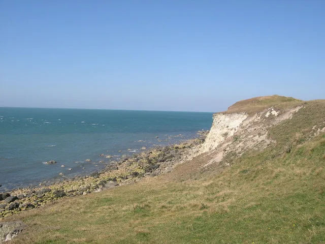
Binnel Bay
Mountains & hills · 0.6 km

FGB
Memorials & monuments · 0.8 km

The Buddle Inn
Historic pubs · 0.8 km

Niton
Villages · 0.9 km
Mirables
Historic houses · 0.9 km

Spider Cave
Caves · 1.0 km

Herveys Farm Niton Manor
Manor houses · 1.0 km
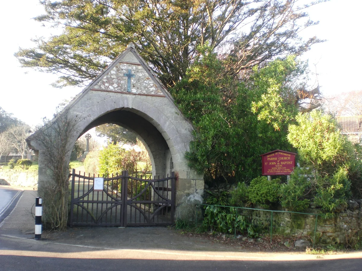
Church of St. John the Baptist, Niton
Historic churches · 1.1 km

Niton Manor
Manor houses · 1.1 km

Spindler's Folly
Follies · 1.2 km
Whitwell Hill
Mountains & hills · 1.2 km

St Catherine's Lighthouse
Lighthouses · 1.3 km
Nearby
📷 5Mountains & hills · South East England
Binnel Bay
Binnel Bay — bay on the south coast of the Isle of Wight, England, UK.
📷 5Memorials & monuments · South East England
FGB
FGB — a memorial in england-south-east, United Kingdom.
📷 7Historic pubs · South East England
The Buddle Inn
The Buddle Inn in England South East, United Kingdom.
📷 5📷 5Historic houses · South East England
Mirables
Mirables — a Grade II-listed historic house in england-south-east, United Kingdom.
📷 5Where to eat & stay near Reeth Bay
Places to stay
 📷 5
📷 5Caravan parks · South East England
Meadow View Caravan Site
Meadow View Caravan Site — a caravan park in england south east.
 📷 4
📷 4 📷 5
📷 5B&Bs · South East England
Lisle Combe
Lisle Combe — a bed-and-breakfast in england south east.
 📷 6
📷 6 📷 7
📷 7 📷 7
📷 7Hotels · South East England
Hambrough Hotel
Hambrough Hotel — a hotel in england south east.
Places to eat & drink
📷 7Historic pubs · South East England
The Buddle Inn
The Buddle Inn in England South East, United Kingdom.
 📷 5
📷 5 📷 5
📷 5Cafés · South East England
No24 Ventnor
No24 Ventnor — a café in england south east.
 📷 7
📷 7Historic pubs · South East England
The Griffin Public House
The Griffin Public House in England South East, United Kingdom.
 📷 7
📷 7 📷 7
📷 7Historic pubs · South East England
King Harry's Bar
King Harry's Bar in England South East, United Kingdom.
More mountains in this region
 📷 5
📷 5 📷 5
📷 5Mountains & hills · South East England
Reigate Caves
Reigate Caves is a mountain or hill in the United Kingdom.
 📷 5
📷 5Mountains & hills · South East England
North Downs
North Downs — a hill or mountain in england london.
 📷 5
📷 5Mountains & hills · South East England
Blue Bell Hill
Blue Bell Hill — a hill or mountain in england london.
Frequently asked questions
- Where is Reeth Bay?
- Reeth Bay is in South-East England, United Kingdom (postcode PO38 2LX), in the parish of Niton and Whitwell.
- What is Reeth Bay?
- Reeth Bay — bay on the south coast of the Isle of Wight, England, UK.
- How do I get to Reeth Bay?
- The nearest railway station is Shanklin, about 9.3 km away. The nearest town is Wroxall. Drivers can use postcode PO38 2LX.
- Is Reeth Bay a protected site?
- Yes — Reeth Bay is part of the Compton Chine to Steephill Cove SSSI Site of Special Scientific Interest and the Isle Of Wight National Landscape (AONB).
- Is Reeth Bay free to visit?
- Yes, Reeth Bay is free to enter.
- How do I get to Reeth Bay?
- Drivers can navigate to postcode PO38 2LX. It sits within the Isle of Wight West parliamentary constituency.