
Historic bridges · East of England
Reepham Road Bridge
In or near Thurning.
Reepham Road Bridge — Grade II listed building-listed bridge in england-east-midlands, United Kingdom.

Zorba the Geek — CC BY-SA 2.0 via Wikimedia Commons licence

Plan your visit
- Typical visit
- 15 min–30 min
- Free entry
- Dog-friendly
About
Reepham Road Bridge is a Grade II listed building-listed bridge in england-east-midlands, United Kingdom, registered on the National Heritage List for England (NHLE entry 1304424). Listed status protects buildings and structures of special architectural or historic interest. See the linked Wikipedia article for further details.
Photo gallery
Heritage listing
Details TG 02 NE THURNING REEPHAM ROAD 7/96 Reepham Road Bridge. II Bridge over river Blackwater. c.1830. East face knapped flint with gault brick dressings, west face coursed pebble flint with cemented dressings. Single arch with parapet and sweeps, designed at eye-catcher at head of lake to south of Thurning Hall. Listing NGR: TG0804328692 Legacy The contents of this record have been generated from a legacy data system. Legacy System number: 224008 Legacy System: LBS
From the Historic England List Entry under OGL v3.
Protected designations
- Site of Special Scientific Interest: River Wensum SSSI
- Area of Outstanding Natural Beauty: Norfolk Coast
Designations sourced from Natural England open data under OGL v3.
Place summary
Reepham Road Bridge is a Grade II listed bridge located in the East Midlands. Its designation highlights its architectural and historical significance within the region.
AI-generated from the structured facts on this page (operator, designation, listing, era). Not a substitute for visiting.
- Coordinates
- 52.8156, 1.0857
- County
- Norfolk
- District
- North Norfolk
- Parish
- Thurning
- Postcode
- NR20 5QY
- Parliamentary constituency
- Broadland and Fakenham
Sources
- wikidata: Q26591403 (CC0)
Other places nearby

Thurning Village Sign
Public art & sculpture · 0.7 km
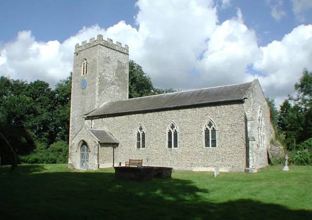
Thurning
Towns & cities · 0.9 km

Thurning
Villages · 1.0 km
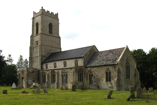
Wood Dalling
Towns & cities · 1.9 km

Wood Dalling Village Sign
Public art & sculpture · 1.9 km

Pee Wit Farm
Campsites · 2.2 km
%2C_Guestwick_(geograph_2263187).jpg?width=1200)
Congregational Chapel
Chapels · 2.5 km

Church of St Peter
Historic churches · 2.5 km

Guestwick
Villages · 2.6 km

Guestwick Village Sign
Public art & sculpture · 2.6 km

Cropton Hall
Historic houses · 2.8 km

The Earle Arms
Historic pubs · 3.5 km
Nearby
📷 3Public art & sculpture · East of England
Thurning Village Sign
Thurning Village Sign — a public art in england-east-midlands, United Kingdom.
Flagship📷 5Towns & cities · East of England
Thurning
Thurning — village and civil parish in the English county of Norfolk and district of North Norfolk.
📷 5Flagship📷 5Towns & cities · East of England
Wood Dalling
Wood Dalling — village in Norfolk, England, UK.
📷 3Public art & sculpture · East of England
Wood Dalling Village Sign
Wood Dalling Village Sign — a public art in england-east-midlands, United Kingdom.
📷 5Where to eat & stay near Reepham Road Bridge
Places to stay
📷 5 📷 5
📷 5 📷 5
📷 5 📷 5
📷 5 📷 5
📷 5 📷 5
📷 5Places to eat & drink
📷 5 📷 5
📷 5Historic pubs · East of England
Buckinghamshire Arms Public House
Buckinghamshire Arms Public House in England East, United Kingdom.
 📷 5
📷 5Historic pubs · East of England
Saracen's Head
Saracen's Head in England East, United Kingdom.
 📷 5
📷 5Historic pubs · East of England
Black Boys Public House
Black Boys Public House in England East, United Kingdom.
 📷 5
📷 5Historic pubs · East of England
The Bluebell
The Bluebell in England East, United Kingdom.
 📷 5
📷 5Historic pubs · East of England
The Rampant Horse Inn
The Rampant Horse Inn in England East, United Kingdom.
More bridges in this region
.JPG?width=1200) 📷 5
📷 5Historic bridges · East of England
Albert Bridge
Albert Bridge is a historic bridge in the United Kingdom.
.jpg?width=1200) 📷 5
📷 5Historic bridges · East of England
Bedford Town Bridge
Bedford Town Bridge is a historic bridge in the United Kingdom.
 📷 5
📷 5Historic bridges · East of England
Bethnal Green and King's Lynn Line
Bethnal Green and King's Lynn Line is a historic bridge in the United Kingdom.
 📷 5
📷 5Historic bridges · East of England
Bethnal Green and King's Lynn Line
Bethnal Green and King's Lynn Line is a historic bridge in the United Kingdom.
Frequently asked questions
- Where is Reepham Road Bridge?
- Reepham Road Bridge is in Norfolk, East of England, United Kingdom (postcode NR20 5QY), in the parish of Thurning.
- What is Reepham Road Bridge?
- Reepham Road Bridge — Grade II listed building-listed bridge in england-east-midlands, United Kingdom.
- How do I get to Reepham Road Bridge?
- The nearest town is Thurning. Drivers can use postcode NR20 5QY.
- Is Reepham Road Bridge a listed building?
- Reepham Road Bridge is officially recognised as Grade II listed building listed.
- Is Reepham Road Bridge a protected site?
- Yes — Reepham Road Bridge is part of the River Wensum SSSI Site of Special Scientific Interest and the Norfolk Coast National Landscape (AONB).
- Is Reepham Road Bridge free to visit?
- Yes, Reepham Road Bridge is free to enter.
- How do I get to Reepham Road Bridge?
- Drivers can navigate to postcode NR20 5QY. It sits within the Broadland and Fakenham parliamentary constituency.