
Caves · West Midlands
Redhurst Swallet
In or near Warslow.
Redhurst Swallet — a cave broad in england-east-midlands, United Kingdom.

Peter McDermott — CC BY-SA 2.0 via Wikimedia Commons licence

Plan your visit
- Typical visit
- 45 min–1.5 h
- Free entry
- Dog-friendly
About
Redhurst Swallet is a cave broad located in england-east-midlands, United Kingdom. Catalogued from Wikidata's UK heritage register; see the linked Wikipedia article for further details on its history, architecture and visiting information.
Photo gallery
Protected designations
- Site of Special Scientific Interest: Hamps and Manifold Valleys SSSI
Designations sourced from Natural England open data under OGL v3.
Place summary
Redhurst Swallet is a cave located in the East Midlands. It is known for its geological features and underground formations. The cave contributes to the region's natural heritage.
AI-generated from the structured facts on this page (operator, designation, listing, era). Not a substitute for visiting.
- Coordinates
- 53.0984, -1.8570
- County
- Staffordshire
- District
- Staffordshire Moorlands
- Parish
- Wetton
- Postcode
- DE6 2AG
- Parliamentary constituency
- Staffordshire Moorlands
Sources
- wikidata: Q136463832 (CC0)
Other places nearby

Darfar Bridge
Historic bridges · 0.1 km

Ossum's Cave
Caves · 0.1 km
Darfar Ridge Cave
Caves · 0.2 km

Old Hannah's Hole
Caves · 0.3 km

T Pot
Caves · 0.3 km

Darfar Pot, Top Entrance
Caves · 0.3 km

Nan Tor Cave
Caves · 0.5 km
Ossoms Hill
Mountains & hills · 0.6 km
Ossoms Hill
Mountains & hills · 0.6 km

Ladyside Pot
Caves · 0.7 km
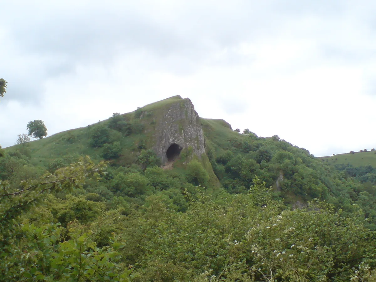
Thor's Cave
Mountains & hills · 0.8 km

Thor's Cave
Caves · 0.8 km
Nearby
📷 3Historic bridges · West Midlands
Darfar Bridge
Darfar Bridge — Grade II listed building-listed bridge in england-east-midlands, United Kingdom.
📷 5Caves · West Midlands
Ossum's Cave
Ossum's Cave — a cave broad in england-east-midlands, United Kingdom.
📷 5Caves · West Midlands
Darfar Ridge Cave
Darfar Ridge Cave — a cave broad in england-east-midlands, United Kingdom.
📷 5📷 5📷 5Caves · West Midlands
Darfar Pot, Top Entrance
Darfar Pot, Top Entrance — a cave broad in england-east-midlands, United Kingdom.
Where to eat & stay near Redhurst Swallet
Places to stay
 📷 5
 📷 5
Campsites · West Midlands
Big Hillsdale Farm
Big Hillsdale Farm — a campsite in england east midlands.
 📷 5
 📷 5
 📷 5
Campsites · West Midlands
Hulme End Campsite
Hulme End Campsite — a campsite in england east midlands.
 📷 5
Caravan parks · West Midlands
Smithyfields Campsite
Smithyfields Campsite — a caravan park in england east midlands.
Places to eat & drink
 📷 7
Historic pubs · West Midlands
Ye Olde Crown Hotel
Ye Olde Crown Hotel in England West Midlands, United Kingdom.
 📷 3
Historic pubs · West Midlands
Marquis of Granby
Marquis of Granby — Historic pub — listed building or notable heritage status.
 📷 5
 📷 3
Historic pubs · West Midlands
Old Red Lion
Old Red Lion — Historic pub — listed building or notable heritage status.
 📷 5
Historic pubs · West Midlands
Ye Olde Rock Inn
Ye Olde Rock Inn in England West Midlands, United Kingdom.
 📷 5
Historic pubs · East Midlands
Okeover Arms Public House
Okeover Arms Public House in England West Midlands, United Kingdom.
More caves in this region
 📷 3📷 3📷 5📷 5
Caves · West Midlands
Elderbush Cave
Elderbush Cave — a cave broad in england-east-midlands, United Kingdom.
Frequently asked questions
- Where is Redhurst Swallet?
- Redhurst Swallet is in Staffordshire, the East Midlands, United Kingdom (postcode DE6 2AG), in the parish of Wetton.
- What is Redhurst Swallet?
- Redhurst Swallet — a cave broad in england-east-midlands, United Kingdom.
- How do I get to Redhurst Swallet?
- The nearest town is Warslow. Drivers can use postcode DE6 2AG.
- Is Redhurst Swallet a protected site?
- Yes — Redhurst Swallet is part of the Hamps and Manifold Valleys SSSI Site of Special Scientific Interest.
- Is Redhurst Swallet free to visit?
- Yes, Redhurst Swallet is free to enter.
- How do I get to Redhurst Swallet?
- Drivers can navigate to postcode DE6 2AG. It sits within the Staffordshire Moorlands parliamentary constituency.