
Viewpoints · East of England
Rayleigh Mount
Also known as: Rayleigh Castle
In or near Rettendon.
Rayleigh Mount is a viewpoint in the United Kingdom.

Wikimedia Commons contributors — see linked file page for photographer and licence licence

Plan your visit
- Typical visit
- 20 min–45 min
- Best time of year
- Clear days year-round
- Nearest railway station
- Rayleigh · 0.3 km
- Free entry
- Dog-friendly
About
Rayleigh Mount is a named viewpoint in the United Kingdom. Also known as: Rayleigh Castle. Coordinates: 51.5885°, 0.6040°. This entry is part of The Great Britain Guide, a free, ad-free, open-data tourist directory.
Photo gallery
Protected designations
- Site of Special Scientific Interest: Crouch and Roach Estuaries SSSI
Designations sourced from Natural England open data under OGL v3.
From the Wikipedia article
Rayleigh Castle (also known as Rayleigh Mount) was a masonry and timber castle built in the town of Rayleigh in Essex, England in the 11th century shortly after the Norman Conquest of 1066. All that exists today are the earthwork remains of its large motte-and-bailey.
Excerpt from Wikipedia under CC BY-SA 4.0. See the source article linked in Sources below.
Background
History
Rayleigh is one of 48 castles mentioned in the Domesday Book of 1086, and the only one in the county of Essex. The Survey records that Swein (other spellings are Sweyn, Sweyne, and Suen) built the castle in his manor. He was the son of Robert FitzWimarc, a Norman lord and favourite of Edward the Confessor (r. 1042–1066). Swein was one of the wealthiest landowners in post-Conquest Essex, and the Survey records that in 1086 his lands were worth £255. As Swein was the son of a favourite of Edward, it is likely that he did not arrive with William the Conqueror in 1066, but was instead born in England. Most land owners with significant holdings at the time of the Domesday Survey had disjointed,…
Sourced from Wikipedia under CC BY-SA 4.0.
- Coordinates
- 51.5885, 0.6040
- County
- Essex
- District
- Rochford
- Parish
- Rayleigh
- Postcode
- SS6 7HX
- Parliamentary constituency
- Rayleigh and Wickford
- Nearest railway station
- Rayleigh — 0.3 km
Sources
- osm: n1414355431 (ODbL)
- wikipedia: Rayleigh Castle (CC BY-SA 4.0)
- commons: Rayleigh Castle - Top of the motte - geograph.org.uk - 211114.jpg (CC BY-SA 4.0)
Other places nearby
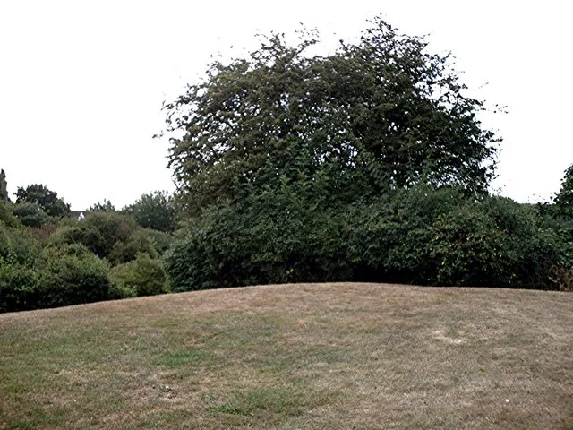
Rayleigh Castle
Castles · 0.1 km

Rayleigh Mill
Windmills · 0.2 km

Mill Hall
Theatres · 0.2 km
Jewish Memorial
Memorials & monuments · 0.2 km

Rayleigh, Essex
Museums · 0.2 km

The Crown Public House
Historic pubs · 0.3 km

The Old White Horse Public House
Historic pubs · 0.3 km
The Martyrs' Memorial
Memorials & monuments · 0.3 km
Rayleigh Town Museum
Museums · 0.3 km
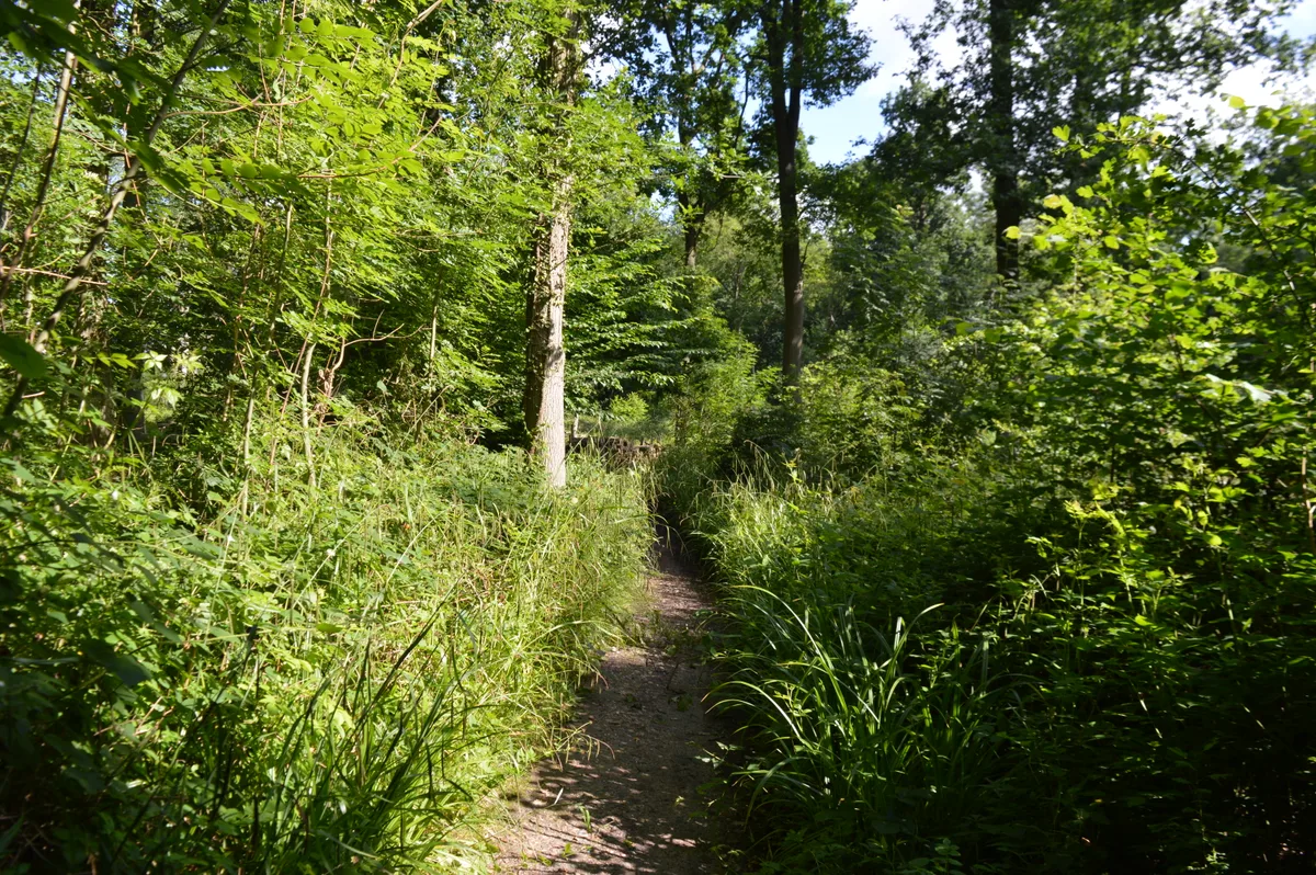
Little Haven Nature Reserve
Wildlife reserves · 2.0 km

Tile Wood
Forests & woodlands · 2.1 km

Thundersley
Museums · 2.3 km
Nearby
📷 5Castles · East of England
Rayleigh Castle
Rayleigh Castle — Norman earthworks in Rayleigh, Essex, England, UK.
📷 5📷 5Theatres · East of England
Mill Hall
Mill Hall is a theatre in the United Kingdom.
📷 5Memorials & monuments · East of England
Jewish Memorial
Jewish Memorial — a memorial in england-south-east, United Kingdom.
📷 5Museums · East of England
Rayleigh, Essex
Rayleigh is a market town and civil parish in the Rochford District of Essex, England. It lies between Chelmsford and Southend-on-Sea, 32 miles (51 km) east of central London. At the 2021 census the
📷 5Historic pubs · East of England
The Crown Public House
The Crown Public House in England South East, United Kingdom.
Where to eat & stay near Rayleigh Mount
Places to stay
 📷 5
📷 5Campsites · East of England
Belchamps Scout Activity Centre
Belchamps Scout Activity Centre — a campsite in england south east.
 📷 5📷 5
Campsites · East of England
The Lake at Nine Acres
The Lake at Nine Acres — a campsite in england south east.
 📷 5
📷 5 📷 5
📷 5Campsites · East of England
Ark Lane Scout Campsite
Ark Lane Scout Campsite — a campsite in england south east.

Places to eat & drink
📷 5Historic pubs · East of England
The Crown Public House
The Crown Public House in England South East, United Kingdom.
📷 5Historic pubs · East of England
The Old White Horse Public House
The Old White Horse Public House in England South East, United Kingdom.
 📷 5
📷 5Historic pubs · East of England
Bell House Public House
Bell House Public House in England South East, United Kingdom.
 📷 5
📷 5Historic pubs · East of England
The Anchor Inn And Building Attached To Right
The Anchor Inn And Building Attached To Right in England South East, United Kingdom.
 📷 5
📷 5Historic pubs · East of England
The Half Crown Inn
The Half Crown Inn in England South East, United Kingdom.
 📷 7
📷 7Historic pubs · East of England
The Crooked Billet Public House
The Crooked Billet Public House in England South East, United Kingdom.
More viewpoints in this region
 📷 5
📷 5 📷 5
📷 5 📷 5
📷 5 📷 5
📷 5Frequently asked questions
- Where is Rayleigh Mount?
- Rayleigh Mount is in Essex, South-East England, United Kingdom (postcode SS6 7HX), in the parish of Rayleigh.
- What is Rayleigh Mount?
- Rayleigh Mount is a viewpoint in the United Kingdom.
- How do I get to Rayleigh Mount?
- The nearest railway station is Rayleigh, about 0.3 km away. Drivers can use postcode SS6 7HX.
- Is Rayleigh Mount a protected site?
- Yes — Rayleigh Mount is part of the Crouch and Roach Estuaries SSSI Site of Special Scientific Interest.
- Is Rayleigh Mount free to visit?
- Yes, Rayleigh Mount is free to enter.
- How do I get to Rayleigh Mount?
- The nearest railway station is Rayleigh, about 0.3 km away. Drivers can navigate to postcode SS6 7HX.