
Archaeological sites · Central Scotland
rampart (possible)
In or near Carmunnock.
rampart (possible) — a archaeological in scotland-central, United Kingdom.

Alec MacKinnon — CC BY-SA 2.0 via Wikimedia Commons licence

Plan your visit
- Typical visit
- 45 min–1.5 h
- Nearest railway station
- Blantyre · 3.2 km
- Free entry
- Dog-friendly
About
rampart (possible) is a archaeological located in scotland-central, United Kingdom. Sourced from OpenStreetMap (ODbL licence); see local listings for visitor information, opening hours and admission details.
Photo gallery
Place summary
The Rampart (possible) is an archaeological site located in central Scotland. It features remains that may indicate the presence of a historic fortification, although its exact purpose and period are still subject to research. The site contributes to the understanding of ancient defensive structures in the region.
AI-generated from the structured facts on this page (operator, designation, listing, era). Not a substitute for visiting.
- Coordinates
- 55.7804, -4.1281
- District
- South Lanarkshire
- Postcode
- G72 9UF
- Parliamentary constituency
- East Kilbride and Strathaven
- Nearest railway station
- Blantyre — 3.2 km
Sources
- osm: way/509662324 (ODbL)
Other places nearby
Cross Law [Crossbasket]
Memorials & monuments · 0.1 km
General's Bridge, Stoneymeadow Road
Historic bridges · 0.2 km
Old Milestone
Memorials & monuments · 0.3 km
Old World Terraced Garden
Gardens · 0.3 km
Crossbasket Castle
Castles · 0.3 km

Crossbasket Linn
Waterfalls · 0.4 km
Basket Falls (petrified)
Waterfalls · 0.4 km

Basket Craig
Viewpoints · 0.5 km

rig & furrow
Archaeological sites · 0.5 km

Basket Kilns (destroyed)
Archaeological sites · 0.5 km
Site of Pate's Mill
Historic houses · 0.5 km
The Wee Craigneith with rig & furrow
Archaeological sites · 0.6 km
Nearby
📷 3Memorials & monuments · Central Scotland
Cross Law [Crossbasket]
Cross Law [Crossbasket] — a memorial in scotland-central, United Kingdom.
📷 5Historic bridges · Central Scotland
General's Bridge, Stoneymeadow Road
General's Bridge, Stoneymeadow Road — category B listed building-listed bridge in scotland-central, United Kingdom.
📷 3Memorials & monuments · Central Scotland
Old Milestone
Old Milestone — a memorial in scotland-central, United Kingdom.
📷 3Gardens · Central Scotland
Old World Terraced Garden
Old World Terraced Garden — a garden in scotland-central, United Kingdom.
📷 3Castles · Central Scotland
Crossbasket Castle
Crossbasket Castle — a castle in scotland-central, United Kingdom.
📷 5Where to eat & stay near rampart (possible)
Places to stay
 📷 5
📷 5Hotels · Scottish Lowlands
Crutherland House Hotel
Crutherland House Hotel — a hotel in scotland central.
 📷 5
📷 5Hotels · Central Scotland
Hampton by Hilton Hamilton Park
Hampton by Hilton Hamilton Park — a hotel in scotland central. 3-star. Brand: Hampton.
 📷 5
📷 5Caravan parks · Central Scotland
Strathclyde Park Camping & Caravan Site
Strathclyde Park Camping & Caravan Site — a caravan park in scotland central.
 📷 5
📷 5 📷 5
📷 5Caravan parks · Central Scotland
MaryVille Caravan Site
MaryVille Caravan Site — a caravan park in scotland central.
 📷 5
📷 5Hotels · Central Scotland
DoubleTree by Hilton Glasgow Strathclyde
DoubleTree by Hilton Glasgow Strathclyde — a hotel in scotland central. 4-star. Brand: DoubleTree by Hilton.
Places to eat & drink
 📷 5
📷 5Historic pubs · Central Scotland
The Rowan Tree Inn, 62 Old Mill Road, Uddingston
The Rowan Tree Inn, 62 Old Mill Road, Uddingston in Scotland Central, United Kingdom.
 📷 5
📷 5Historic pubs · Central Scotland
Portland Arms Public House, 1169 Shettleston Road, Glasgow
Portland Arms Public House, 1169 Shettleston Road, Glasgow in Scotland Central, United Kingdom.
 📷 7
📷 7Historic pubs · Scottish Lowlands
Cross Keys Inn, 1 Montgomery Street, Eaglesham
Cross Keys Inn, 1 Montgomery Street, Eaglesham in Scotland Central, United Kingdom.
 📷 5
📷 5Historic pubs · Scottish Lowlands
Swan Inn, 23 Polnoon Street, Eaglesham
Swan Inn, 23 Polnoon Street, Eaglesham in Scotland Central, United Kingdom.
 📷 7
📷 7Historic pubs · Central Scotland
374-378 Gallowgate
374-378 Gallowgate in Scotland Central, United Kingdom.
 📷 5
📷 5Historic pubs · Central Scotland
Public House, 9, 11, 13 Watson Street, Glasgow
Public House, 9, 11, 13 Watson Street, Glasgow in Scotland Central, United Kingdom.
More archaeological sites in this region
 📷 3
📷 3Archaeological sites · Central Scotland
Craigvinean Forest
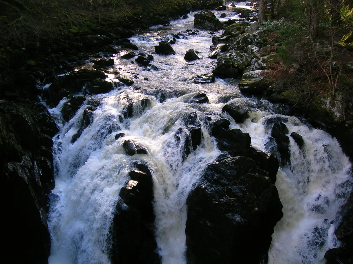
Craigvinean Forest — forest in Perth and Kinross, Scotland, UK.
 📷 5
📷 5Archaeological sites · Central Scotland
Ballymeanoch
Ballymeanoch in Scotland Islands, United Kingdom.
 📷 5
📷 5Archaeological sites · Central Scotland
Stirling torcs
Stirling torcs in Scotland Islands, United Kingdom.
 📷 3
📷 3Archaeological sites · Central Scotland
Black Hill Roman Camps
Black Hill Roman Camps in Scotland Islands, United Kingdom.
Frequently asked questions
- Where is rampart (possible)?
- rampart (possible) is in central Scotland, United Kingdom (postcode G72 9UF).
- What is rampart (possible)?
- rampart (possible) — a archaeological in scotland-central, United Kingdom.
- How do I get to rampart (possible)?
- The nearest railway station is Blantyre, about 3.2 km away. Drivers can use postcode G72 9UF.
- Is rampart (possible) free to visit?
- Yes, rampart (possible) is free to enter.
- How do I get to rampart (possible)?
- The nearest railway station is Blantyre, about 3.2 km away. Drivers can navigate to postcode G72 9UF.