
Museums · East of England
RAF Seething
In or near Hedenham.
Royal Air Force Seething, or more simply RAF Seething , is a former Royal Air Force station located around 10 miles (16 km) south-east of Norwich, Norfolk, England. The base was located on the parish

Geographer — CC BY-SA 2.0 via Wikimedia Commons licence

Plan your visit
- Typical visit
- 1.5 h–3 h
- Best time of year
- Year-round
- Family-friendly
- Limited wheelchair access
About
Royal Air Force Seething, or more simply RAF Seething , is a former Royal Air Force station located around 10 miles (16 km) south-east of Norwich, Norfolk, England. The base was located on the parish boundaries of Seething, Mundham and Hedenham.
Photo gallery
From the Wikipedia article
Royal Air Force Seething, or more simply RAF Seething , is a former Royal Air Force station located around 10 miles (16 km) south-east of Norwich, Norfolk, England. The base was located on the parish boundaries of Seething, Mundham and Hedenham.
Excerpt from Wikipedia under CC BY-SA 4.0. See the source article linked in Sources below.
Background
History
Seething airfield was built in 1942−43 by John Laing & Son Ltd., to the standard Class A requirement for heavy bombers, the airfield had a main runway 6,000 ft. long aligned SW-NE and two secondary runways of 4,200 ft in length. The encircling perimeter track was three miles long. To meet United States Army Air Forces (USAAF) requirements, there were fifty-one hardstands both of the loop and frying-pan type and two T-2 hangars, placed one on each side of the airfield, that on the south being adjacent to the technical site. The camp was of temporary buildings and the sites dispersed in farmlands to the south of the airfield.
Visiting
With the end of military control, most of the airfield was reverted to farming. The eastern section, including part of the main runway and a section of perimeter track, is now Seething Airfield which is home to the Waveney Flying Group. They have built three hangars and a clubroom and the airfield is active most days of the week. To the south of the airfield, on some of the former dispersed barrack and communal sites, several of the old living quarters and associated buildings are still in existence. Some of these buildings are in a reasonable condition, although they are derelict and overgrown. The former control tower has been renovated and has become a memorial museum to the 448th…
Sourced from Wikipedia under CC BY-SA 4.0.
- Coordinates
- 52.5100, 1.4000
- County
- Norfolk
- District
- South Norfolk
- Parish
- Seething
- Postcode
- NR15 1EN
- Parliamentary constituency
- South Norfolk
- Established
- 1942
Sources
- wikipedia: RAF Seething (CC BY-SA 4.0)
Other places nearby

Station 146 Seething Airfield 448th Bombardment Group H 1943 - 1945
Memorials & monuments · 1.0 km
USAAF Station 146 Seething
Museums · 1.0 km

Seething Airfield
Museums · 1.2 km
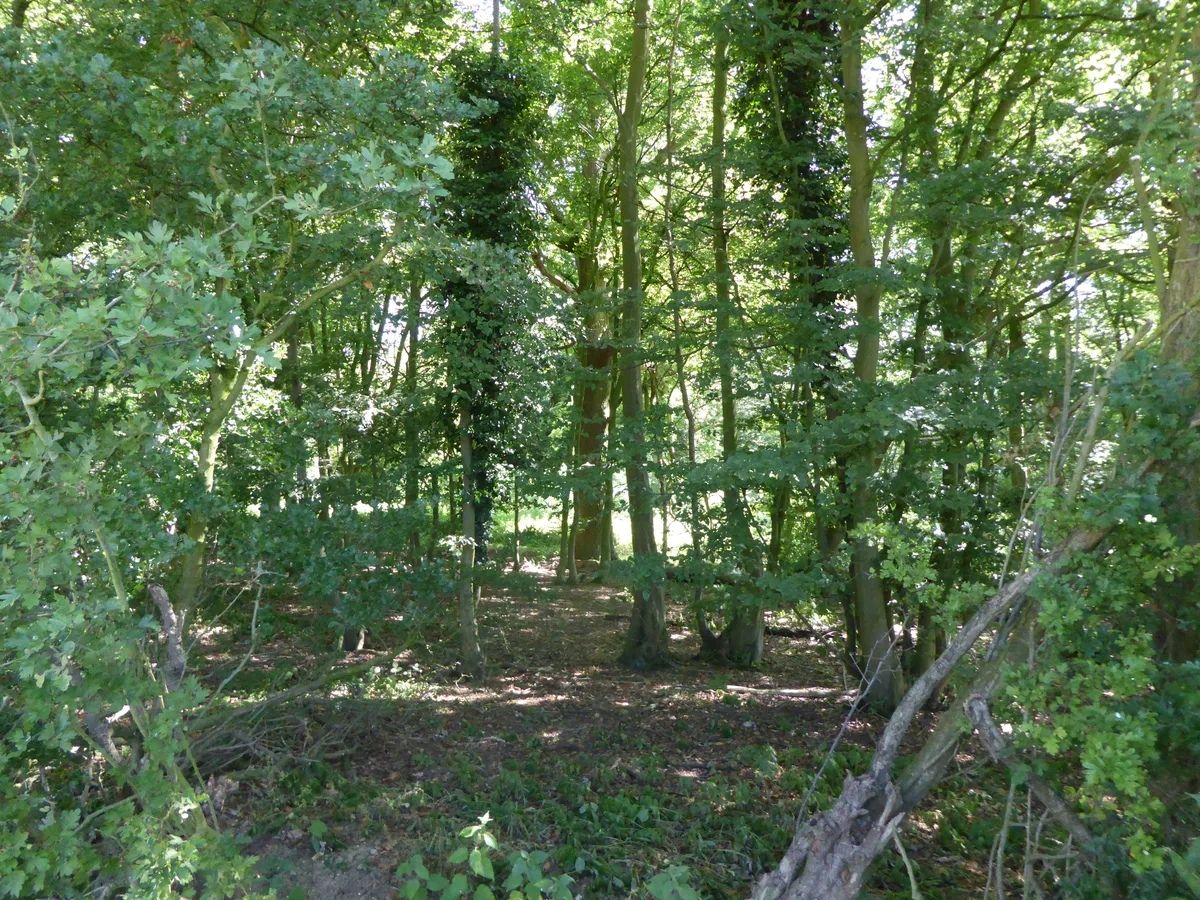
Hedenham Wood
Archaeological sites · 1.3 km
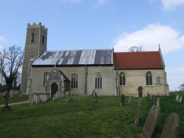
Hedenham
Towns & cities · 2.2 km

Woodton Village Sign
Public art & sculpture · 2.3 km

Seething
Museums · 2.3 km

Seething War Memorial
Memorials & monuments · 2.4 km

Hedenham Village Sign
Public art & sculpture · 2.4 km
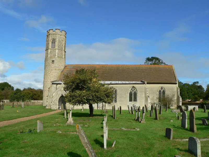
Woodton
Towns & cities · 2.4 km

Thwaite
Villages · 2.5 km

Thwaite St.Mary Village Sign
Public art & sculpture · 2.6 km
Nearby
📷 3Memorials & monuments · East of England
Station 146 Seething Airfield 448th Bombardment Group H 1943 - 1945
Station 146 Seething Airfield 448th Bombardment Group H 1943 - 1945 — a memorial in england-east, United Kingdom.
📷 3Museums · East of England
USAAF Station 146 Seething
USAAF Station 146 Seething — a museum in england-east, United Kingdom.
📷 5Museums · East of England
Seething Airfield
Seething Airfield — a museum in england-east, United Kingdom.
📷 5Archaeological sites · East of England
Hedenham Wood
Hedenham Wood — UK Site of Special Scientific Interest.
📷 3📷 3Public art & sculpture · East of England
Woodton Village Sign
Woodton Village Sign — a public art in england-east, United Kingdom.
Where to eat & stay near RAF Seething
Places to stay
 📷 5
📷 5 📷 5
📷 5Caravan parks · East of England
Outney Meadow Caravan Park
Outney Meadow Caravan Park — a caravan park in england east.
 📷 5
📷 5Campsites · East of England
Wardley Hill Campsite
Wardley Hill Campsite — a campsite in england east.
 📷 5
📷 5 📷 5
📷 5 📷 5
📷 5Campsites · East of England
Broadland Sun Association Naturist Campsite
Broadland Sun Association Naturist Campsite — a campsite in england east.
Places to eat & drink
 📷 7
📷 7 📷 5
📷 5 📷 5
📷 5 📷 7
📷 7Historic pubs · East of England
Maids Head Public House
Maids Head Public House in England East, United Kingdom.
 📷 5
📷 5Historic pubs · East of England
The Countryman Public House
The Countryman Public House in England East, United Kingdom.
 📷 5
📷 5Historic pubs · East of England
The Top House Public House, Including Boundary Wall To Yard
The Top House Public House, Including Boundary Wall To Yard in England East, United Kingdom.
More museums in this region
 📷 5
📷 5Museums · East of England
American Air Museum
American Air Museum — museum at Imperial War Museum Duxford, Cambridgeshire, England, UK.
 📷 5
📷 5Museums · East of England
Ashwell Village Museum
Ashwell Village Museum — historic building museum in Ashwell, Hertfordshire, England, United Kingdom.
 📷 5
📷 5Museums · East of England
Barleylands Farm Museum
Barleylands Farm Museum — Farm museum in Billericay, England.
 📷 5
📷 5Museums · East of England
Cromwell Museum
Cromwell Museum — museum in Huntingdon, England, United Kingdom.
Frequently asked questions
- Where is RAF Seething?
- RAF Seething is in Norfolk, East of England, United Kingdom (postcode NR15 1EN), in the parish of Seething.
- What is RAF Seething?
- Royal Air Force Seething, or more simply RAF Seething , is a former Royal Air Force station located around 10 miles (16 km) south-east of Norwich, Norfolk, England. The base was located on the parish
- How do I get to RAF Seething?
- Drivers can use postcode NR15 1EN.
- When was RAF Seething built?
- Built or established in 1942.
- Who owns RAF Seething?
- RAF Seething is owned by Royal Air Force<br>United States Army Air Forces.
- How do I get to RAF Seething?
- Drivers can navigate to postcode NR15 1EN. It sits within the South Norfolk parliamentary constituency.