
Memorials & monuments · South East England
Radcliffe Infirmary
In or near Oxford.
Radcliffe Infirmary — a memorial in england-west-midlands, United Kingdom.

Christopher Hilton — CC BY-SA 2.0 via Wikimedia Commons licence

Plan your visit
- Typical visit
- 15 min–45 min
- Nearest railway station
- Oxford · 0.9 km
- Free entry
- Dog-friendly
About
Radcliffe Infirmary is a memorial located in england-west-midlands, United Kingdom. Sourced from OpenStreetMap (ODbL licence); see local listings for visitor information, opening hours and admission details.
Photo gallery
See it from the streetimagery from 2018
Imagery © Mapillary contributors, CC BY-SA 4.0
Official information
The Bate Collection of Historical Musical Instruments features a vast array of musical instruments from different periods and cultures. Visitors can explore the collection and learn about the history and significance of these instruments.
From the Wikipedia article
The Radcliffe Infirmary was a hospital in central north Oxford, England, located at the southern end of Woodstock Road on the western side, backing onto Walton Street. Closed in 2007, after refurbishment the building was re-opened in October 2012 for use by the Faculty of Philosophy and both the Philosophy and Theology libraries of the University of Oxford.
Excerpt from Wikipedia under CC BY-SA 4.0. See the source article linked in Sources below.
Background
History
The initial proposals to build a hospital in Oxford were put forward at a meeting of the Radcliffe Trustees, who were administering John Radcliffe's estate valued at £4,000, in 1758. The facility was constructed on land given by Thomas Rowney, one of the two members of parliament for Oxford. The foundation stone was laid on 27 August 1761 and the new facility was officially opened on 18 October 1770. A fountain of the Greek god Triton was placed in front of the main infirmary building in 1858 During the First World War, part of the hospital was converted for military use as one of the many sections of the Third Southern General Hospital. In 1936 the Radcliffe Infirmary treated four members…
Sourced from Wikipedia under CC BY-SA 4.0.
- Coordinates
- 51.7603, -1.2624
- County
- Oxfordshire
- District
- Oxford
- Parish
- Oxford, unparished area
- Postcode
- OX2 6HT
- Parliamentary constituency
- Oxford West and Abingdon
- Established
- 1770
- Nearest railway station
- Oxford — 0.9 km
- Opening
- Open 2–5pm Mondays and Thursdays only.
- Official site
- www.bate.ox.ac.uk
Sources
- osm: node/13246206191 (ODbL)
- wikipedia: Radcliffe Infirmary (CC BY-SA 4.0)
Other places nearby

Plosion 1 (Yellow)
Public art & sculpture · 0.0 km

The Alchemical Tree
Public art & sculpture · 0.1 km

Osler House
Historic houses · 0.1 km

Sohmen Concert Hall
Theatres · 0.1 km

Bate Collection of Musical Instruments
Museums · 0.1 km

John Radcliffe
Natural landmarks · 0.1 km
Elipsodrome
Public art & sculpture · 0.1 km

Somerville College Library
Historic libraries · 0.1 km

Stephen A. Schwarzman Centre for the Humanities
Gardens · 0.1 km

Radcliffe Observatory
Observatories · 0.1 km
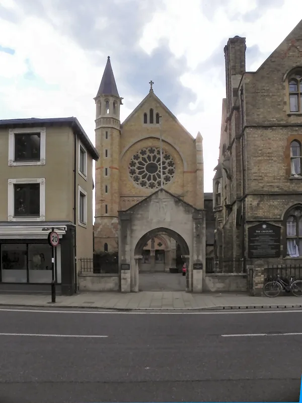
Oxford Oratory
Historic churches · 0.1 km

Triad
Public art & sculpture · 0.1 km
Nearby
📷 3Public art & sculpture · South East England
Plosion 1 (Yellow)
Plosion 1 (Yellow) — a public art in england-west-midlands, United Kingdom.
📷 3Public art & sculpture · South East England
The Alchemical Tree
The Alchemical Tree — Public artwork (sculpture) by Simon Periton.
📷 3Historic houses · South East England
Osler House
Osler House — a Grade I-listed historic house in england-west-midlands, United Kingdom.
📷 3Theatres · South East England
Sohmen Concert Hall
Sohmen Concert Hall is a theatre in the United Kingdom.
📷 3Museums · South East England
Bate Collection of Musical Instruments
Bate Collection of Musical Instruments — a museum in england-west-midlands, United Kingdom.
📷 3Natural landmarks · South East England
John Radcliffe
John Radcliffe — Public artwork (statue) by Martin Jennings.
Where to eat & stay near Radcliffe Infirmary
Places to stay
 📷 7
📷 7Hotels · South East England
Old Parsonage Hotel
Old Parsonage Hotel — a hotel in england west midlands.
 📷 5
📷 5Hotels · South East England
The Jericho Hotel
The Jericho Hotel — a hotel in england west midlands.
 📷 5
📷 5B&Bs · South East England
St Michael's Guest House
St Michael's Guest House — a bed-and-breakfast in england west midlands.
 📷 5
📷 5Hostels · South East England
Oxford Backpackers
Oxford Backpackers — a hostel in england west midlands.
 📷 5
📷 5Hostels · South East England
Central Backpackers Oxford
Central Backpackers Oxford — a hostel in england west midlands.
 📷 5
📷 5Hotels · South East England
Old Bank Hotel
Old Bank Hotel — a hotel in england west midlands.
Places to eat & drink
 📷 5
📷 5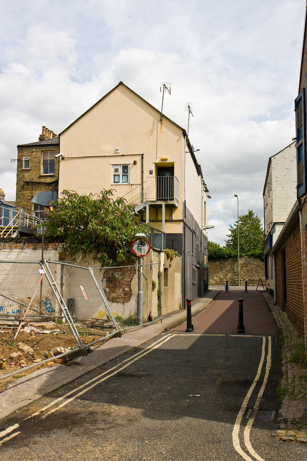 📷 5
📷 5Historic pubs · South East England
Jericho Tavern
Jericho Tavern in England South East, United Kingdom.
 📷 7
📷 7Historic pubs · South East England
The Eagle and Child
The Eagle and Child in England South East, United Kingdom.
 📷 7
📷 7Restaurants · South East England
Gee's
Gee's — a restaurant in england west midlands.
 📷 5
📷 5Historic pubs · South East England
King's Arms
King's Arms in England South East, United Kingdom.
 📷 7
📷 7Historic pubs · South East England
Turf Tavern
Turf Tavern in England South East, United Kingdom.
More memorials in this region
 📷 5
📷 5Memorials & monuments · South East England
Air Forces Memorial
Air Forces Memorial is a memorial in the United Kingdom.
 📷 5
📷 5Memorials & monuments · South East England
All Saints Church
All Saints Church is a memorial in the United Kingdom.
 📷 5
📷 5Memorials & monuments · South East England
Bevans War Memorial
Bevans War Memorial is a memorial in the United Kingdom.
.jpg?width=1200) 📷 5
📷 5Memorials & monuments · South East England
Cumberland Obelisk
Cumberland Obelisk is a memorial in the United Kingdom.
Frequently asked questions
- Where is Radcliffe Infirmary?
- Radcliffe Infirmary is in Oxfordshire, the West Midlands, United Kingdom (postcode OX2 6HT), in the parish of Oxford, unparished area.
- What is Radcliffe Infirmary?
- Radcliffe Infirmary — a memorial in england-west-midlands, United Kingdom.
- How do I get to Radcliffe Infirmary?
- The nearest railway station is Oxford, about 0.9 km away. Drivers can use postcode OX2 6HT.
- When was Radcliffe Infirmary built?
- Built or established in 1770.
- Is Radcliffe Infirmary free to visit?
- Yes, Radcliffe Infirmary is free to enter.
- How do I get to Radcliffe Infirmary?
- The nearest railway station is Oxford, about 0.9 km away. Drivers can navigate to postcode OX2 6HT.