
Villages · East Midlands
Pytchley
In or near Isham.
Pytchley — a village in england west midlands.

Ian Rob — CC BY-SA 2.0 via Wikimedia Commons licence

Plan your visit
- Typical visit
- 1 h–2 h
- Nearest railway station
- Wicksteed Park · 3.1 km
About
A British village — settlements of this size traditionally cluster a green, parish church, pub and post office around historic land routes.
Photo gallery
Protected designations
- Site of Special Scientific Interest: Upper Nene Valley Gravel Pits SSSI
Designations sourced from Natural England open data under OGL v3.
Place summary
Pytchley is a village located in the West Midlands, with a population of 489 residents. The village is characterised by its rural setting and traditional English architecture. It offers a glimpse into village life in this region of England.
AI-generated from the structured facts on this page (operator, designation, listing, era). Not a substitute for visiting.
- Coordinates
- 52.3640, -0.7386
- District
- North Northamptonshire
- Parish
- Pytchley
- Postcode
- NN14 1SA
- Parliamentary constituency
- Kettering
- Population
- 489
- Nearest railway station
- Wicksteed Park — 3.1 km
Sources
- manual: geonames-2639818 (CC BY 4.0)
Other places nearby

Church of All Saints, Pytchley
Historic churches · 0.0 km

Odeon Kettering
Theatres · 1.8 km

Orlingbury
Villages · 2.4 km

Isham
Villages · 2.5 km

Wicksteed Park Camping
Campsites · 2.6 km

Kids Play Ltd
Theme parks · 2.6 km
Lighthouse Theatre
Theatres · 2.7 km
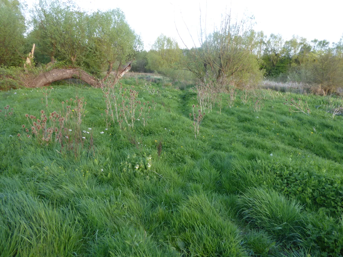
Southfield Farm Marsh
Wildlife reserves · 2.7 km

Isham
Towns & cities · 2.8 km
Wicksteed Park
Theme parks · 2.8 km

Kettering Muslim Association
Historic churches · 2.8 km

Statue of Jerry (Charles Wicksteed's dog)
Public art & sculpture · 3.1 km
Nearby
📷 3Historic churches · East Midlands
Church of All Saints, Pytchley
Church of All Saints, Pytchley — church in Pytchley, Northamptonshire, England, UK.
📷 5📷 5📷 5📷 5Campsites · East Midlands
Wicksteed Park Camping
Wicksteed Park Camping — a campsite in england west midlands.
📷 3Theme parks · East Midlands
Kids Play Ltd
Kids Play Ltd — a theme park in england-west-midlands, United Kingdom.
Where to eat & stay near Pytchley
Places to stay
📷 5Campsites · East Midlands
Wicksteed Park Camping
Wicksteed Park Camping — a campsite in england west midlands.
 📷 5
📷 5 📷 5
📷 5 📷 5
📷 5 📷 7
📷 7Hotels · East Midlands
The Hind Hotel
The Hind Hotel — a hotel in england west midlands.
 📷 5
📷 5Places to eat & drink
 📷 5
📷 5Historic pubs · East Midlands
The Bell Inn Public House
The Bell Inn Public House in England East, United Kingdom.
📷 5Historic pubs · East Midlands
Mulso Arms Public House And Barns Attached To North West And South West
Mulso Arms Public House And Barns Attached To North West And South West in England East, United Kingdom.
 📷 5
📷 5Historic pubs · East Midlands
67 and 69 High Street
67 and 69 High Street in England East, United Kingdom.
 📷 5
📷 5Historic pubs · East Midlands
Fox And Hounds Public House
Fox And Hounds Public House in England East, United Kingdom.
 📷 5
📷 5 📷 5
📷 5Historic pubs · East Midlands
Rowell Charter Inn
Rowell Charter Inn in England East Midlands, United Kingdom.
More places in this region
 📷 5
📷 5 📷 5
📷 5 📷 5
📷 5 📷 5
📷 5Frequently asked questions
- Where is Pytchley?
- Pytchley is in the East Midlands, United Kingdom (postcode NN14 1SA), in the parish of Pytchley.
- What is Pytchley?
- Pytchley — a village in england west midlands.
- How do I get to Pytchley?
- The nearest railway station is Wicksteed Park, about 3.1 km away. The nearest town is Isham. Drivers can use postcode NN14 1SA.
- Is Pytchley a protected site?
- Yes — Pytchley is part of the Upper Nene Valley Gravel Pits SSSI Site of Special Scientific Interest.
- How do I get to Pytchley?
- The nearest railway station is Wicksteed Park, about 3.1 km away. Drivers can navigate to postcode NN14 1SA.