
Mountains & hills · West Midlands
Puleston Hill
In or near Newport, Shropshire.
Puleston Hill — mountain in england west midlands. Elevation: 118 m.

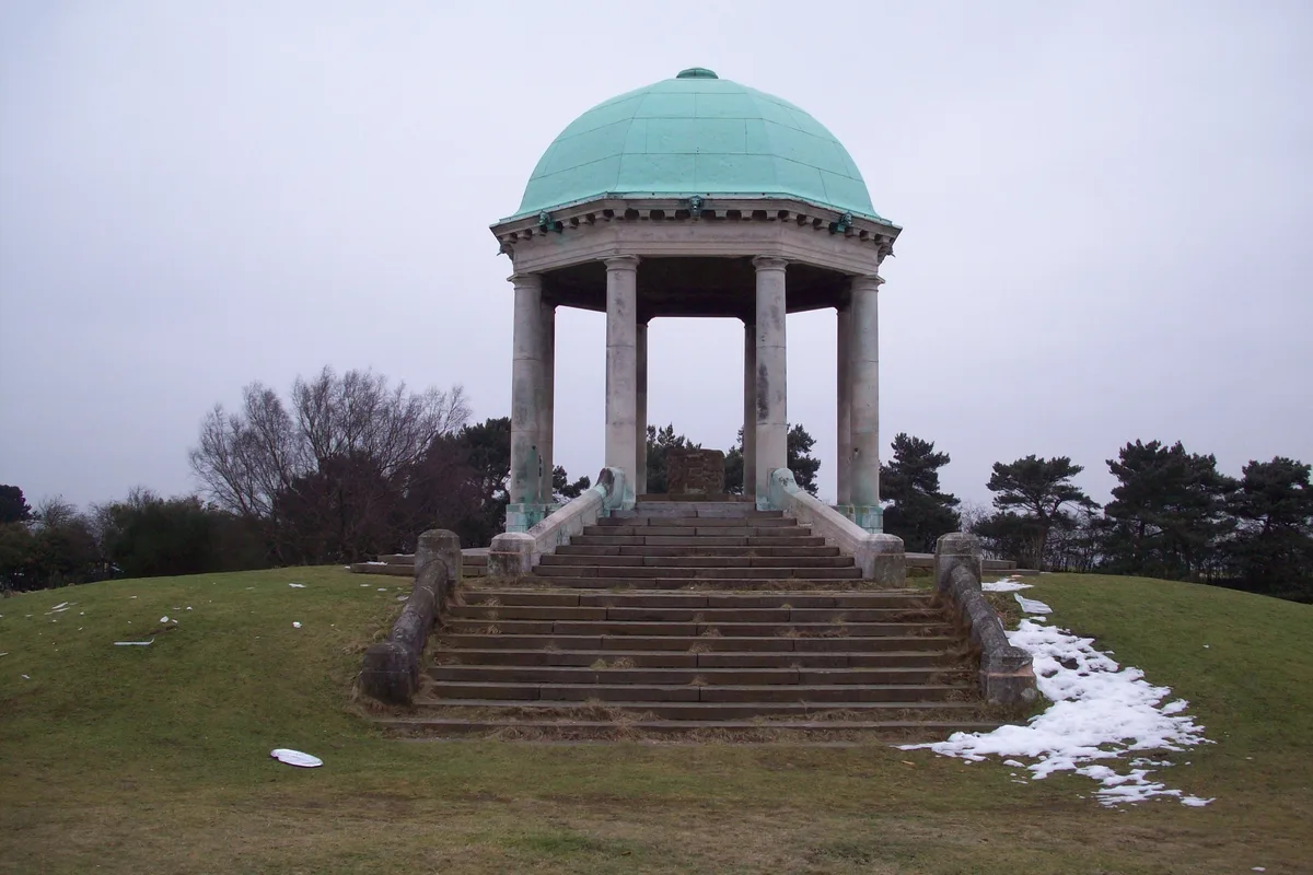
Richard Law — CC BY-SA 2.0 via Wikimedia Commons licence

Plan your visit
- Typical visit
- 3 h–8 h
- Best time of year
- Late spring – early autumn (May–Oct)
- Dog-friendly
About
Puleston Hill is a mountain located in england west midlands. Elevation: 118 m. A named British peak recorded in OpenStreetMap. Peaks are typically named on Ordnance Survey 1:50k mapping.
Photo gallery
Place summary
Puleston Hill is a mountain located in the West Midlands. It offers a variety of outdoor activities and scenic views typical of the region. The area is suitable for walking and enjoying the natural landscape. Visitors can expect a tranquil environment conducive to exploration and recreation.
AI-generated from the structured facts on this page (operator, designation, listing, era). Not a substitute for visiting.
- Coordinates
- 52.8003, -2.3877
- District
- Telford and Wrekin
- Parish
- Chetwynd
- Postcode
- TF10 8AG
- Parliamentary constituency
- The Wrekin
Sources
- osm: n2500758169 (ODbL)
Other places nearby

Puleston Bridge
Historic bridges · 0.8 km

Whitleyford Bridge
Historic bridges · 1.4 km

Chetwynd Park
Mountains & hills · 1.7 km

Forton Hall
Historic houses · 2.1 km

Forton
Villages · 2.4 km

Quarry canal bridge
Historic bridges · 2.7 km

Bridge About 275 Yards East North East Of Church Of St Luke
Historic bridges · 3.0 km

Summer House Canal Bridge
Historic bridges · 3.0 km

Batchacre Hall
Historic houses · 3.2 km

Weston Jones Motte
Literary houses · 3.2 km

Weston Jones
Castles · 3.2 km

Roving bridge and lock called Newport Lock 255m south east of Wrekin View Farm
Canal locks · 3.2 km
Nearby
📷 3Historic bridges · West Midlands
Puleston Bridge
Puleston Bridge — Grade II listed building-listed bridge in england-west-midlands, United Kingdom.
📷 3Historic bridges · West Midlands
Whitleyford Bridge
Whitleyford Bridge — Grade II listed building-listed bridge in england-west-midlands, United Kingdom.
📷 5Mountains & hills · West Midlands
Chetwynd Park
Chetwynd Park — a hill or mountain in england west midlands.
📷 3Historic houses · West Midlands
Forton Hall
Forton Hall — 17th-century house in Forton, Staffordshire, England, UK.
📷 5📷 3Historic bridges · West Midlands
Quarry canal bridge
Quarry canal bridge — scheduled monument-listed bridge in england-west-midlands, United Kingdom.
Where to eat & stay near Puleston Hill
Places to stay
 📷 5
 📷 5
 📷 5
Campsites · West Midlands
Ted's Caravan and Camp Site
Ted's Caravan and Camp Site — a campsite in england west midlands.
 📷 5
Caravan parks · West Midlands
Orchard Cottage Caravan Park
Orchard Cottage Caravan Park — a caravan park in england west midlands.
 📷 5
Caravan parks · West Midlands
Red Lion Farm Caravan Park
Red Lion Farm Caravan Park — a caravan park in england west midlands.
 📷 7
Hotels · West Midlands
Travelodge
Travelodge — a hotel in england west midlands.
Places to eat & drink
 📷 7
Historic pubs · West Midlands
Dun Cow Public House
Dun Cow Public House in England West Midlands, United Kingdom.
 📷 7
 📷 5
Historic pubs · West Midlands
Eagle Inn Public House
Eagle Inn Public House in England West Midlands, United Kingdom.
 📷 7
 📷 5
Historic pubs · West Midlands
The Chains Public House
The Chains Public House in England West Midlands, United Kingdom.
 📷 5
More mountains in this region
 📷 5
Mountains & hills · West Midlands
Stile Cop
Stile Cop — mountain in england east midlands. Elevation: 219 m.
 📷 5
Mountains & hills · West Midlands
Rawnsley Hill
Rawnsley Hill — mountain in england east midlands. Elevation: 237 m.
 📷 5
Mountains & hills · West Midlands
Hound Hill
Hound Hill — mountain in england east midlands. Elevation: 98 m.
 📷 5
Frequently asked questions
- Where is Puleston Hill?
- Puleston Hill is in the West Midlands, United Kingdom (postcode TF10 8AG), in the parish of Chetwynd.
- What is Puleston Hill?
- Puleston Hill — mountain in england west midlands. Elevation: 118 m.
- How do I get to Puleston Hill?
- The nearest town is Newport, Shropshire. Drivers can use postcode TF10 8AG.
- How do I get to Puleston Hill?
- Drivers can navigate to postcode TF10 8AG. It sits within the The Wrekin parliamentary constituency.