
Vineyards · South East England
Promontory defined by an Iron Age linear earthwork, St Andrew's Castle and additional remains on Hamble Common
In or near Hamble-le-Rice.
Promontory defined by an Iron Age linear earthwork, St Andrew's Castle and additional remains on Hamble Common — a UK vineyard in england south east, producing English or Welsh wine from cool-climate grape varieties.

Shazz — CC BY-SA 2.0 via Wikimedia Commons licence

Plan your visit
- Typical visit
- 1 h–2 h
- Best time of year
- Late summer & autumn (Aug–Oct)
- Nearest railway station
- Hamble · 2.2 km
About
Promontory defined by an Iron Age linear earthwork, St Andrew's Castle and additional remains on Hamble Common is one of Britain's growing number of vineyards, located in england south east. UK viticulture has expanded significantly since the 1980s, with English sparkling wines now winning international awards. Most British vineyards offer tours and tastings of their estate-grown wines. hillfort in Hampshire, England, UK
Photo gallery
Protected designations
- Site of Special Scientific Interest: Hythe to Calshot Marshes SSSI
- Site of Special Scientific Interest: Lee-on-The Solent to Itchen Estuary SSSI
- Ramsar wetland: Solent & Southampton Water
Designations sourced from Natural England open data under OGL v3.
Place summary
The site features a promontory defined by an Iron Age linear earthwork, alongside St Andrew's Castle and additional remains located on Hamble Common in South-East England. The vineyard offers a scenic setting for visitors, who can expect a range of locally produced wines. The area combines historical significance with viticulture, making it an intriguing destination for those interested in both archaeology and wine.
AI-generated from the structured facts on this page (operator, designation, listing, era). Not a substitute for visiting.
- Coordinates
- 50.8526, -1.3178
- County
- Hampshire
- District
- Eastleigh
- Parish
- Hamble-le-Rice
- Postcode
- SO31 4QG
- Parliamentary constituency
- Hamble Valley
- Nearest railway station
- Hamble — 2.2 km
Sources
- wikidata: Q17644906 (CC0)
Other places nearby
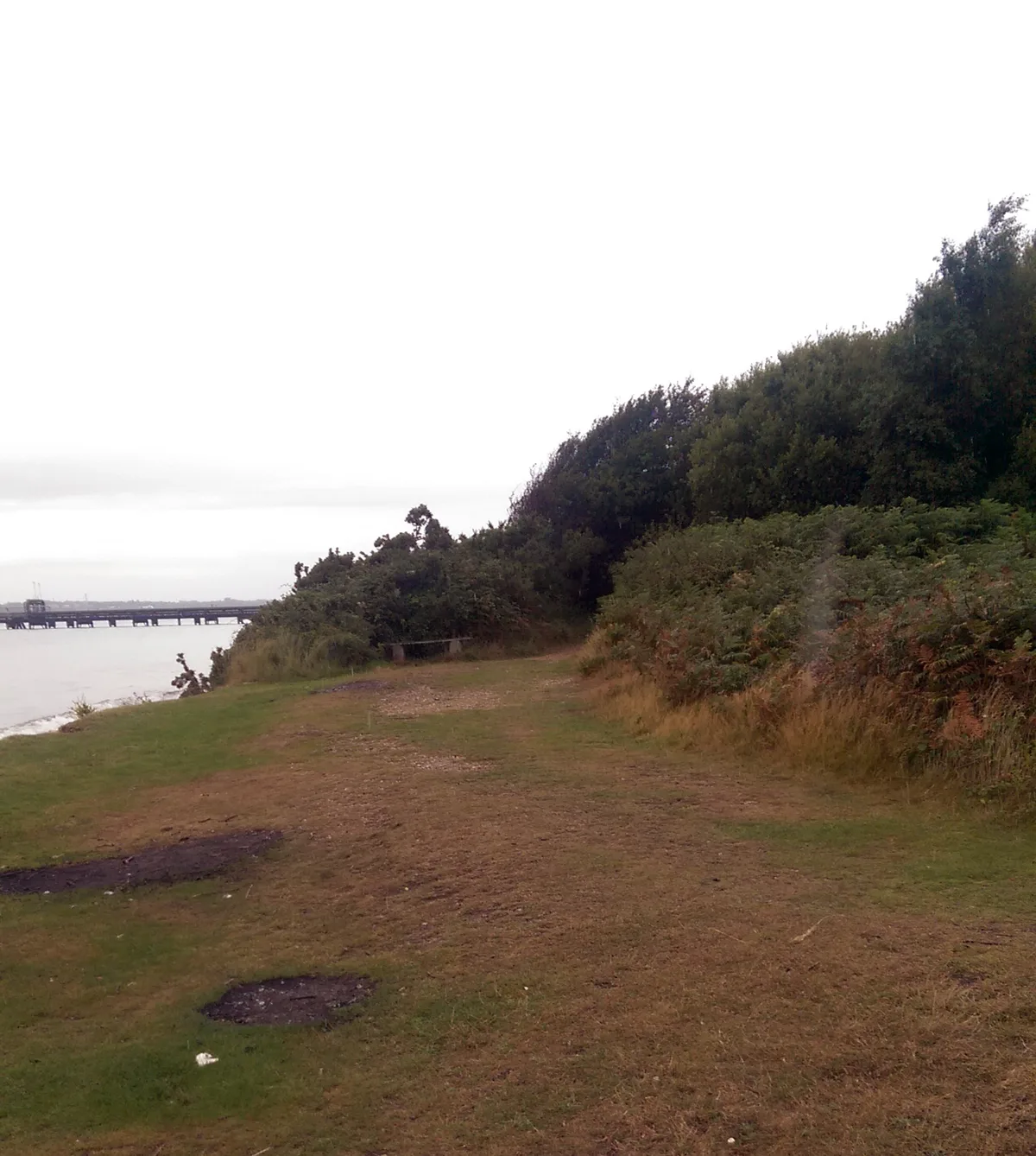
St Andrew's Castle
Castles · 0.1 km
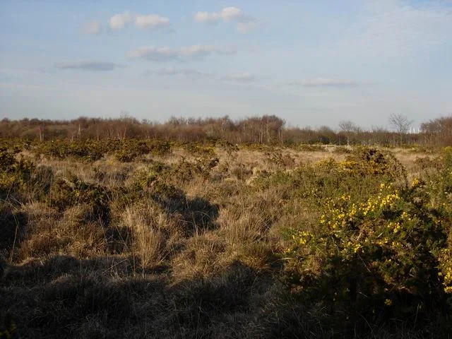
Hamble Common Camp
Hill forts · 0.1 km

St Andrews Castle
Castles · 0.3 km

BP Hamble Terminal
Piers · 0.6 km

Hamble Lifeboat Station
Gardens · 0.6 km

Hamble-le-Rice War Memorial
Memorials & monuments · 0.7 km

The Victory Inn
Historic pubs · 0.7 km

Air Transport Auxillary Memorial
Memorials & monuments · 0.8 km

A
Piers · 0.9 km

Hamble-le-Rice
Towns & cities · 0.9 km
C
Piers · 1.0 km
E
Piers · 1.0 km
Nearby
📷 5Castles · South East England
St Andrew's Castle
St Andrew's Castle — artillery fort constructed by Henry VIII near Hamble-le-Rice, Hampshire, between 1542 and 1543.
📷 5Hill forts · South East England
Hamble Common Camp
Hamble Common Camp — Iron Age hillfort in Hampshire, England.
📷 5📷 5Piers · South East England
BP Hamble Terminal
BP Hamble Terminal is a pier in the United Kingdom.
📷 5Gardens · South East England
Hamble Lifeboat Station
Hamble Lifeboat Station — a garden in england-south-east, United Kingdom.
📷 5Memorials & monuments · South East England
Hamble-le-Rice War Memorial
Hamble-le-Rice War Memorial — Grade II listed building-listed memorial in england-south-east, United Kingdom.
Where to eat & stay near Promontory defined by an Iron Age linear earthwork, St Andrew's Castle and additional remains on Hamble Common
Places to stay
 📷 5
📷 5Caravan parks · South East England
Riverside Touring & Hol. Park
Riverside Touring & Hol. Park — a caravan park in england south east.
 📷 5
📷 5Caravan parks · South East England
Solent Breezes
Solent Breezes — a caravan park in england south east.
 📷 5
📷 5 📷 5
📷 5Caravan parks · South East England
Sunnydale Farm Touring Park
Sunnydale Farm Touring Park — a caravan park in england south east.
 📷 5
📷 5 📷 5
📷 5Places to eat & drink
📷 5Historic pubs · South East England
The Victory Inn
The Victory Inn in England South East, United Kingdom.
 📷 5
📷 5Historic pubs · South East England
Jolly Farmer Public House
Jolly Farmer Public House in England South East, United Kingdom.
 📷 7
📷 7Historic pubs · South East England
Prince Consort Public House
Prince Consort Public House in England South East, United Kingdom.
 📷 5
📷 5Historic pubs · South East England
Jolly Sailor Public House
Jolly Sailor Public House in England South East, United Kingdom.
 📷 5
📷 5 📷 5
📷 5Historic pubs · South East England
The Drummond Arms
The Drummond Arms in England South East, United Kingdom.
More places in this region
 📷 5
📷 5Vineyards · South East England
Albury Organic Vineyard
Albury Organic Vineyard is a vineyard in the United Kingdom.
 📷 5
📷 5Vineyards · South East England
Denbies Wine Estate
Denbies Wine Estate is a vineyard in the United Kingdom.
 📷 5
📷 5Vineyards · South East England
Boughton Quarry Camp
Boughton Quarry Camp — a UK vineyard in england london, producing English or Welsh wine from cool-climate grape varieties.
 📷 5
📷 5Vineyards · South East England
Iron Age promontory fort in Castlehill Wood
Iron Age promontory fort in Castlehill Wood — a UK vineyard in england london, producing English or Welsh wine from cool-climate grape varieties.
Frequently asked questions
- Where is Promontory defined by an Iron Age linear earthwork, St Andrew's Castle and additional remains on Hamble Common?
- Promontory defined by an Iron Age linear earthwork, St Andrew's Castle and additional remains on Hamble Common is in Hampshire, South-East England, United Kingdom (postcode SO31 4QG), in the parish of Hamble-le-Rice.
- What is Promontory defined by an Iron Age linear earthwork, St Andrew's Castle and additional remains on Hamble Common?
- Promontory defined by an Iron Age linear earthwork, St Andrew's Castle and additional remains on Hamble Common — a UK vineyard in england south east, producing English or Welsh wine from cool-climate grape varieties.
- How do I get to Promontory defined by an Iron Age linear earthwork, St Andrew's Castle and additional remains on Hamble Common?
- The nearest railway station is Hamble, about 2.2 km away. Drivers can use postcode SO31 4QG.
- Is Promontory defined by an Iron Age linear earthwork, St Andrew's Castle and additional remains on Hamble Common a protected site?
- Yes — Promontory defined by an Iron Age linear earthwork, St Andrew's Castle and additional remains on Hamble Common is part of the Hythe to Calshot Marshes SSSI Site of Special Scientific Interest and the Lee-on-The Solent to Itchen Estuary SSSI Site of Special Scientific Interest.
- How do I get to Promontory defined by an Iron Age linear earthwork, St Andrew's Castle and additional remains on Hamble Common?
- The nearest railway station is Hamble, about 2.2 km away. Drivers can navigate to postcode SO31 4QG.