Mountains & hills · Central Scotland
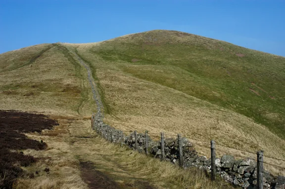
Priesthope Hill
Priesthope Hill — mountain in scotland central. Elevation: 549 m.

Trevor Littlewood — CC BY-SA 2.0 via Wikimedia Commons licence
Plan your visit
- Typical visit
- 3 h–8 h
- Best time of year
- Late spring – early autumn (May–Oct)
About
Priesthope Hill is a mountain located in scotland central. Elevation: 549 m. A named British peak recorded in OpenStreetMap. Peaks are typically named on Ordnance Survey 1:50k mapping.
Photo gallery
Place summary
Priesthope Hill is a mountain located in central Scotland. It offers a rugged landscape typical of the region, characterised by its natural beauty and panoramic views. The area is suitable for walking and hiking, attracting those interested in outdoor activities. The terrain presents a variety of challenges for walkers and climbers alike.
AI-generated from the structured facts on this page (operator, designation, listing, era). Not a substitute for visiting.
- Coordinates
- 55.6491, -3.0333
Sources
- osm: n3612867399 (ODbL)
Other places nearby
Loading nearby places…
Nearby
 📷 5
📷 5Mountains & hills · Central Scotland
Priesthope Hill
Priesthope Hill — a hill or mountain in scotland central.
 📷 3
📷 3Battlefields & battle sites · Central Scotland
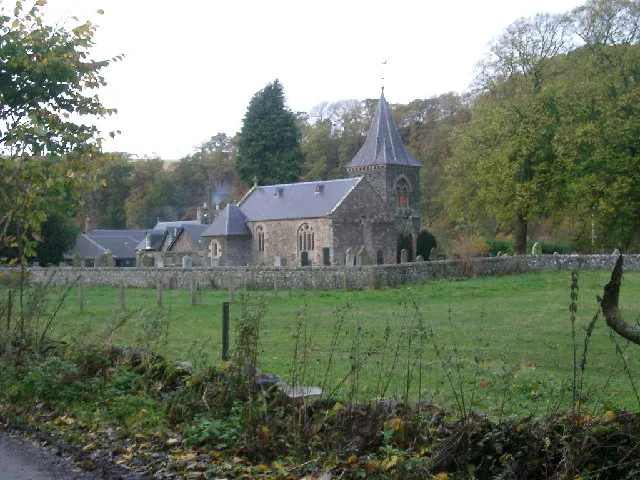
Caberston Forest
Caberston Forest in Scotland Central, United Kingdom.
 📷 5
📷 5Vineyards · Central Scotland
settlement 400m SE of The Common
settlement 400m SE of The Common — a UK vineyard in scotland central, producing English or Welsh wine from cool-climate grape varieties.
 📷 5
📷 5Mountains & hills · Central Scotland
Kirnie Law
Kirnie Law — mountain in scotland central. Elevation: 469 m.
 📷 5
📷 5Mountains & hills · Central Scotland
Scawd Law
Scawd Law — mountain in scotland central. Elevation: 543 m.
 📷 5
📷 5Mountains & hills · Central Scotland
Cairn Hill
Cairn Hill — mountain in scotland central. Elevation: 500 m.
Where to eat & stay near Priesthope Hill
Places to stay
 📷 5
📷 5Campsites · Central Scotland
Tweedside Caravan Park
Tweedside Caravan Park — a campsite in scotland central.
 📷 5
📷 5Hotels · Central Scotland
Cardrona Hotel
Cardrona Hotel — a hotel in scotland central.
 📷 5
📷 5Campsites · Central Scotland
Glentress Forest Lodges
Glentress Forest Lodges — a campsite in scotland central.
 📷 5
📷 5Hotels · Central Scotland
Peebles Hydro Hotel
Peebles Hydro Hotel — a hotel in scotland central. Brand: Crieff Hydro Family of Hotels.
 📷 5
📷 5B&Bs · Central Scotland
Whitestone House
Whitestone House — a bed-and-breakfast in scotland central.
 📷 5
📷 5Hotels · Central Scotland
Park Hotel
Park Hotel — a hotel in scotland central.
Places to eat & drink
 📷 5
📷 5Historic pubs · Central Scotland
The Keg Lounge Bar, 11 High Street, Peebles
The Keg Lounge Bar, 11 High Street, Peebles in Scotland Central, United Kingdom.
 📷 5
📷 5Historic pubs · Central Scotland
Red Lion House, 36 Biggiesknowe, Peebles
Red Lion House, 36 Biggiesknowe, Peebles in Scotland Central, United Kingdom.
 📷 5
📷 5Historic pubs · Central Scotland
The Bridge Inn, West Port, Peebles
The Bridge Inn, West Port, Peebles in Scotland Central, United Kingdom.
 📷 5
📷 5Historic pubs · Central Scotland
Clovenfords Hotel, Clovenfords
Clovenfords Hotel, Clovenfords in Scotland Central, United Kingdom.
 📷 5
📷 5Restaurants · Central Scotland
Horse Shoe Inn
Horse Shoe Inn — a restaurant in scotland central.
 📷 5
📷 5Historic pubs · Central Scotland
Town Arms Inn, 1 Market Place, Selkirk
Town Arms Inn, 1 Market Place, Selkirk in Scotland Central, United Kingdom.
More mountains in this region
 📷 3
📷 3Mountains & hills · Central Scotland
Abbey Hill
Abbey Hill — Named summit at 278 m.
 📷 3
📷 3Mountains & hills · Central Scotland
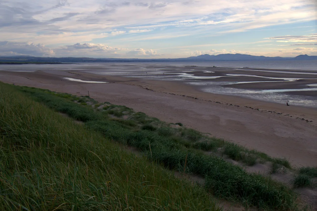
Aberlady Bay
Aberlady Bay — bay on the north coast of East Lothian, Scotland, UK.
 📷 3
📷 3Mountains & hills · Central Scotland
Allermuir Hill
Allermuir Hill — Named summit at 493 m.
 📷 3
📷 3Mountains & hills · Central Scotland
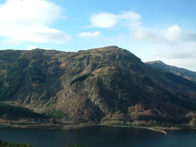
Ardnandave
Ardnandave — Named summit at 715 m.
Frequently asked questions
- Where is Priesthope Hill?
- Priesthope Hill is in central Scotland, United Kingdom.
- What is Priesthope Hill?
- Priesthope Hill — mountain in scotland central. Elevation: 549 m.
- How do I get to Priesthope Hill?
- Its coordinates are 55.6491°, -3.0333°.