
Memorials & monuments · North West England
Preston By-pass
In or near Preston.
Preston By-pass — a memorial in england-north-west, United Kingdom.

Alexander P Kapp — CC BY-SA 2.0 via Wikimedia Commons licence

Plan your visit
- Typical visit
- 15 min–45 min
- Nearest railway station
- Bamber Bridge · 4.5 km
- Free entry
- Dog-friendly
Getting there & planning your visit
To visit Preston By-pass, the nearest railway station is Bamber Bridge, located 4.5 km away. The postcode for the site is PR5 0UJ, and entry is free.
About
Preston By-pass is a memorial located in england-north-west, United Kingdom. Sourced from OpenStreetMap (ODbL licence); see local listings for visitor information, opening hours and admission details.
Photo gallery
See it from the streetimagery from 2026
Imagery © Mapillary contributors, CC BY-SA 4.0
From the Wikipedia article
The Preston Bypass was the United Kingdom's first motorway, opened in 1958. It was designed and engineered by Lancashire County Council surveyor James Drake as part of a larger initiative to create a north–south motorway network that would later form part of the M6 motorway. The original 8+1⁄4-mile (13.3 km) motorway ran around the east side of Preston between Bamber Bridge (now the M6 junction 29) and Broughton (now the M55 junction 1) and crossed over the River Ribble at Samlesbury at the M6 junction 31. Planning started in 1937, despite the lack of legal powers permitting motorway construction until the introduction of the Special Roads Act 1949. Early work was hampered by heavy rainfall, resulting in the postponement of various heavy engineering works, such as the base foundation; the result of the weather meant the original two-year plan was delayed by a further five months. The bypass was opened on 5 December 1958 by the then Prime Minister, Harold Macmillan. Nearly £3 million was spent on its construction. Weeks after opening, the road had to close temporarily due to water causing other problems when the base layer was damaged by a rapid freeze and thaw cycle. The bypass underwent two separate lane-widening schemes, first in 1966 when it was widened to three lanes, then in the 1990s to expand to four lanes in each direction. The latter upgrade was significant enough to require reconstruction of the entire route, including all bridges, and it is now effectively a different motorway from the one that opened in 1958. As a result, the oldest surviving British motorways today are the M1 (between junctions 5 and 18) and the full length of the M45 which both opened one year after the Preston Bypass.
Excerpt from Wikipedia under CC BY-SA 4.0. See the source article linked in Sources below.
Background
Architecture
The road was originally built with two lanes in each direction and a wide central reservation to accommodate a future third lane. The compromise between the Ministry of Transport and Drake arose from concerns that two lanes would be inadequate. Initially, the shoulders were hardened with gravel but unpaved, In total, 3400000 t of earth was excavated, with a further 668000 t of material imported for filling. The sub-base consisted of burnt colliery shale with thickness dependent upon the ground conditions, followed by a layer of wet mix around 9 in thick and topped with 2 to of tarmac lined with 0.5 to of asphalt. The unexpected discovery of a bog in the Ribble valley also required removal.…
Visiting
The bypass was opened on 5 December 1958 by the Prime Minister, Harold Macmillan, It had cost £2,960,481 (), of which almost £2.5M was for construction of the motorway itself and over £500,000 was for the construction of two required major bridges, those being the Samlesbury Bridge (£334,431) and the High Walton Bridge (£193,690) respectively. Macmillan became the first man in Britain to travel on a motorway as a passenger in an Austin Sheerline limousine, setting off from what is now junction 31 on the M6 motorway. Many hundreds of people gathered at the interchange in Samlesbury to witness the official opening, of whom many had participated in the construction and were proud of what they…
Sourced from Wikipedia under CC BY-SA 4.0.
- Coordinates
- 53.7648, -2.6368
- County
- Lancashire
- District
- South Ribble
- Parish
- Samlesbury
- Postcode
- PR5 0UJ
- Parliamentary constituency
- Ribble Valley
- Nearest railway station
- Bamber Bridge — 4.5 km
Sources
- osm: node/6561188520 (ODbL)
- wikipedia: Preston Bypass (CC BY-SA 4.0)
Other places nearby

Brockholes Nature Reserve
Forests & woodlands · 0.9 km

Guyfield Bank
Vineyards · 0.9 km
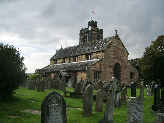
Church of St Leonard the Less, Samlesbury
Historic churches · 0.9 km

Brockholes Visitor Village
Natural landmarks · 0.9 km
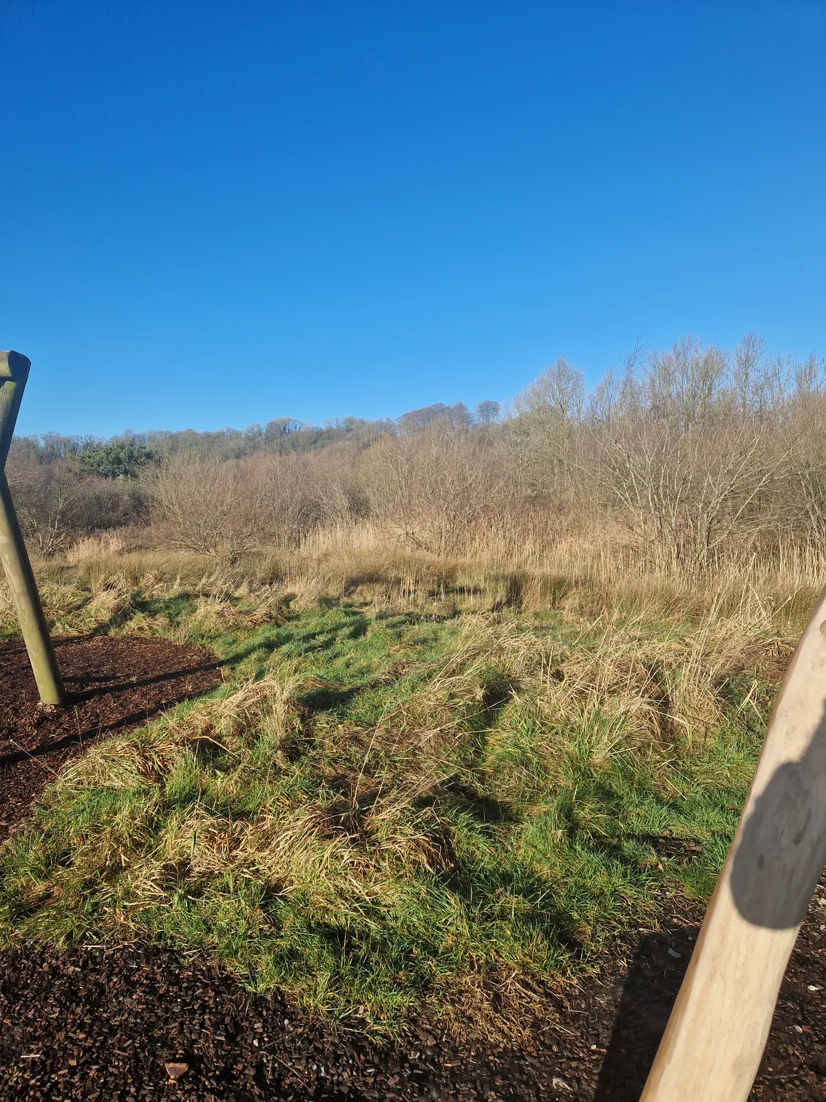
Brockholes
Wildlife reserves · 1.0 km

Samlesbury
Museums · 1.1 km

Boilton Wood
Vineyards · 1.5 km

Farringdon Park
Cemeteries · 1.7 km

Farringdon Park New Cemetery
Cemeteries · 1.9 km

Red Scar Wood
Vineyards · 1.9 km
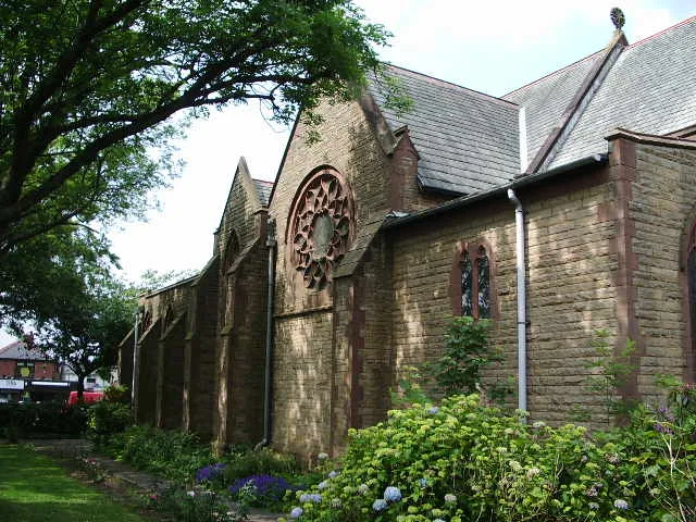
St Mary Magdalene's Church, Ribbleton
Historic churches · 2.0 km
.jpg?width=1200)
Osbaldeston House
Historic houses · 2.2 km
Nearby
📷 3Forests & woodlands · North West England
Brockholes Nature Reserve
Brockholes Nature Reserve is a forest or woodland in the United Kingdom.
📷 5Vineyards · North West England
Guyfield Bank
Guyfield Bank — a UK vineyard in england north west, producing English or Welsh wine from cool-climate grape varieties.
📷 3Historic churches · North West England
Church of St Leonard the Less, Samlesbury
Church of St Leonard the Less, Samlesbury — Grade I listed church in Samlesbury, South Ribble, Lancashire, England, UK.
📷 3Natural landmarks · North West England
Brockholes Visitor Village
Brockholes Visitor Village — a natural landmark in england-north-west, United Kingdom.
📷 5Wildlife reserves · North West England
Brockholes
Brockholes — nature reserve near Preston, Lancashire.
📷 5Where to eat & stay near Preston By-pass
Places to stay
 📷 5
📷 5 📷 5
📷 5Caravan parks · North West England
Penwortham Residential Park
Penwortham Residential Park — a caravan park in england north west.
 📷 5
📷 5Caravan parks · North West England
Oakfield Fishery Caravan Park
Oakfield Fishery Caravan Park — a caravan park in england north west.
 📷 5
📷 5Caravan parks · North West England
Greenbank Farm
Greenbank Farm — a caravan park in england north west.
 📷 5
📷 5Caravan parks · North West England
Beacon Fell View Holiday Village
Beacon Fell View Holiday Village — a caravan park in england north west.
 📷 5
📷 5Caravan parks · North West England
Horns Reservoir
Horns Reservoir — a caravan park in england north west.
Places to eat & drink
 📷 7
📷 7 📷 3
📷 3Historic pubs · North West England
Ye Olde Blue Bell
Ye Olde Blue Bell — Historic pub — listed building or notable heritage status.
 📷 5
📷 5Historic pubs · North West England
The Bears Paw Public House
The Bears Paw Public House in England North West, United Kingdom.
 📷 7
📷 7Historic pubs · North West England
The Old Dog Inn
The Old Dog Inn in England North West, United Kingdom.
 📷 6
📷 6Historic pubs · North West England
Former Red Lion Hotel And Ellesmere Chambers
Former Red Lion Hotel And Ellesmere Chambers in England North West, United Kingdom.
 📷 5
📷 5Historic pubs · North West England
Golden Cross Hotel
Golden Cross Hotel in England North West, United Kingdom.
More memorials in this region
 📷 3
📷 3Memorials & monuments · North West England
3rd Duke of Bridgewater's monument
3rd Duke of Bridgewater's monument — Monument, dating to 1905.
 📷 3
📷 3Memorials & monuments · North West England
Airborne Forces Memorial
Airborne Forces Memorial is a memorial in the United Kingdom.
 📷 4
📷 4Memorials & monuments · North West England
Albert Memorial
Albert Memorial — Monument, dating to 1869.
 📷 3
📷 3Memorials & monuments · North West England
Armada Beacon
Armada Beacon is a memorial in the United Kingdom.
Frequently asked questions
- Where is Preston By-pass?
- Preston By-pass is in Lancashire, North-West England, United Kingdom (postcode PR5 0UJ), in the parish of Samlesbury.
- What is Preston By-pass?
- Preston By-pass — a memorial in england-north-west, United Kingdom.
- How do I get to Preston By-pass?
- The nearest railway station is Bamber Bridge, about 4.5 km away. Drivers can use postcode PR5 0UJ.
- Is Preston By-pass free to visit?
- Yes, Preston By-pass is free to enter.
- How do I get to Preston By-pass?
- The nearest railway station is Bamber Bridge, about 4.5 km away. Drivers can navigate to postcode PR5 0UJ.