
Archaeological sites · South West England
Prehistoric field systems, settlement and cairns, with post-medieval boundary and shelter on Northwethel
In or near Hugh Town.
Prehistoric field systems, settlement and cairns, with post-medieval boundary and shelter on Northwethel — archaeological site in Tresco, United Kingdom.

Wikimedia Commons contributors — see linked file page for photographer and licence licence

Plan your visit
- Typical visit
- 45 min–1.5 h
- Free entry
- Dog-friendly
About
Prehistoric field systems, settlement and cairns, with post-medieval boundary and shelter on Northwethel is a place of interest in South-West England. Officially recognised as scheduled monument. The site is within the Isles Of Scilly National Landscape (AONB), and is a designated Site of Special Scientific Interest.
Photo gallery
Protected designations
- Site of Special Scientific Interest: Pentle Bay, Merrick and Round Islands SSSI
- Site of Special Scientific Interest: St. Helen's (with Northwethel & Men-A-Vaur) SSSI
- Area of Outstanding Natural Beauty: Isles Of Scilly
- Ramsar wetland: Isles of Scilly
Designations sourced from Natural England open data under OGL v3.
Place summary
Prehistoric field systems, settlement and cairns, with post-medieval boundary and shelter, located on Northwethel in South-West England. This scheduled monument is part of several designations, including the Pentle Bay, Merrick and Round Islands SSSI, and the St. Helen's (with Northwethel & Men-A-Vaur) SSSI. The site is also within the Isles of Scilly AONB.
AI-generated from the structured facts on this page (operator, designation, listing, era). Not a substitute for visiting.
- Coordinates
- 49.9660, -6.3305
- District
- Isles of Scilly
- Parish
- Tresco
- Postcode
- TR24 0PW
- Parliamentary constituency
- St Ives
Sources
- wikidata: Q17678428 (CC0)
- commons: Northwethel and Merchant's point - geograph.org.uk - 815132.jpg (CC BY-SA 4.0)
Other places nearby
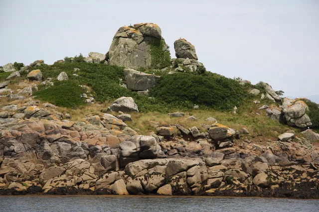
Northwethel
Islands · 0.1 km

St. Helen's Pool
Natural landmarks · 0.5 km

Raven Porth
Beaches · 0.6 km

Old Grimsby Quay, Scilly isles
Marinas · 0.7 km

Green Porth
Beaches · 0.8 km
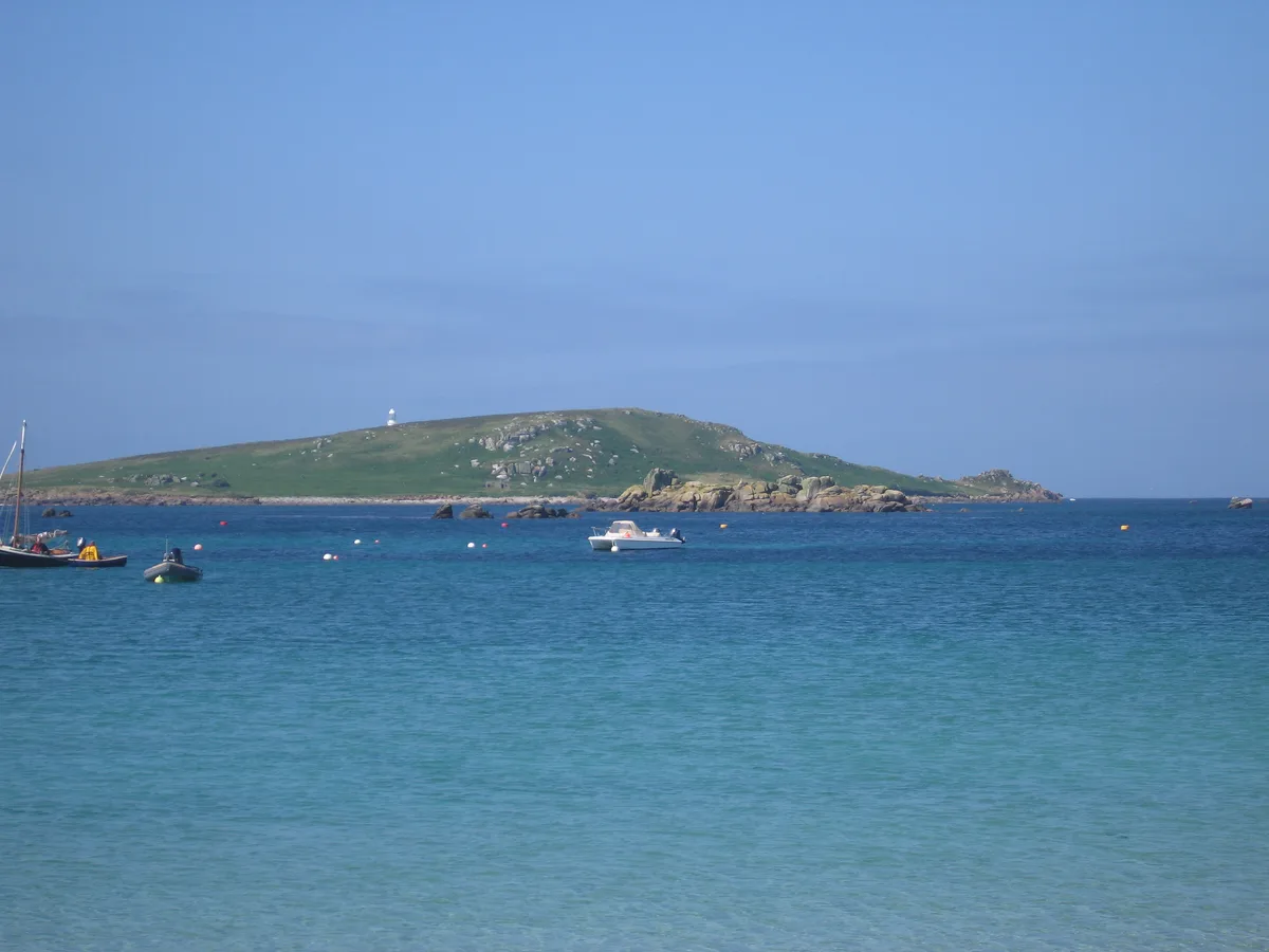
St Helen's
Islands · 0.8 km

Old Blockhouse
Historic houses · 0.9 km
Grimsby Old Blockhouse
Historic houses · 0.9 km

Cook's Porth
Beaches · 0.9 km

Old Man
Islands · 0.9 km
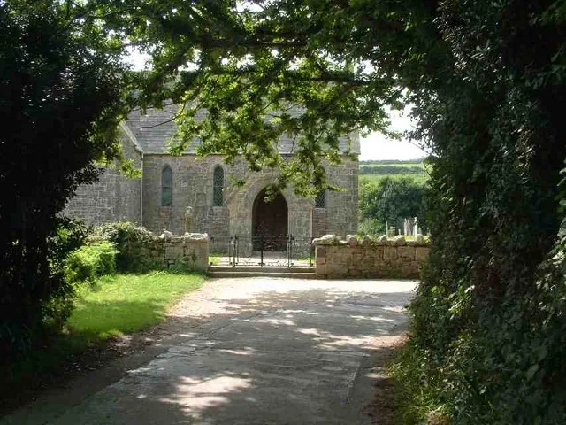
St Nicholas's Church
Historic churches · 1.0 km

Castle Down
Castles · 1.0 km
Nearby
📷 10Islands · South West England
Northwethel
Northwethel — island in the Isles of Scilly, Cornwall, England, UK.
📷 5Natural landmarks · South West England
St. Helen's Pool
St. Helen's Pool — a natural feature in england south west.
📷 5📷 5Marinas · South West England
Old Grimsby Quay, Scilly isles
Old Grimsby Quay, Scilly isles — a marina in england south west.
📷 5Flagship📷 10Where to eat & stay near Prehistoric field systems, settlement and cairns, with post-medieval boundary and shelter on Northwethel
Places to stay
 📷 5
📷 5Campsites · South West England
Pelistry Campsite
Pelistry Campsite — a campsite in england south west.
 📷 5
📷 5Hotels · South West England
Tregarthen's Hotel
Tregarthen's Hotel — a hotel in england south west.
 📷 5
📷 5Hotels · South West England
Star Castle
Star Castle — a hotel in england south west.
 📷 5
📷 5Hotels · South West England
Atlantic Hotel
Atlantic Hotel — a hotel in england south west.
 📷 5
📷 5B&Bs · South West England
Lyonesse Guest House
Lyonesse Guest House — a bed-and-breakfast in england south west.
 📷 5
📷 5Campsites · South West England
Troytown Farm Campsite
Troytown Farm Campsite — a campsite in england south west.
More archaeological sites in this region
 📷 5
📷 5Archaeological sites · South West England
Battlesbury Camp Monuments: hillfort, settlement, cemetery, barrows, enclosure, and field systems
Battlesbury Camp Monuments: hillfort, settlement, cemetery, barrows, enclosure, and field systems — archaeological site in Warminster, Wiltshire, England, UK.
 📷 5
📷 5Archaeological sites · South West England
Blandford Forest
Blandford Forest — forest in Blandford Forum, England.
 📷 5
📷 5Archaeological sites · South West England
Boulsbury Wood
Boulsbury Wood — protected area in Dorset and Hampshire, England.
.jpg?width=1200) 📷 5
📷 5Archaeological sites · South West England
Cranborne Chase
Cranborne Chase — Plateau in southern England.
Frequently asked questions
- Where is Prehistoric field systems, settlement and cairns, with post-medieval boundary and shelter on Northwethel?
- Prehistoric field systems, settlement and cairns, with post-medieval boundary and shelter on Northwethel is in South-West England, United Kingdom (postcode TR24 0PW), in the parish of Tresco.
- What is Prehistoric field systems, settlement and cairns, with post-medieval boundary and shelter on Northwethel?
- Prehistoric field systems, settlement and cairns, with post-medieval boundary and shelter on Northwethel — archaeological site in Tresco, United Kingdom.
- How do I get to Prehistoric field systems, settlement and cairns, with post-medieval boundary and shelter on Northwethel?
- The nearest town is Hugh Town. Drivers can use postcode TR24 0PW.
- Is Prehistoric field systems, settlement and cairns, with post-medieval boundary and shelter on Northwethel a listed building?
- Prehistoric field systems, settlement and cairns, with post-medieval boundary and shelter on Northwethel is officially recognised as scheduled monument listed.
- Is Prehistoric field systems, settlement and cairns, with post-medieval boundary and shelter on Northwethel a protected site?
- Yes — Prehistoric field systems, settlement and cairns, with post-medieval boundary and shelter on Northwethel is part of the Pentle Bay, Merrick and Round Islands SSSI Site of Special Scientific Interest and the St. Helen's (with Northwethel & Men-A-Vaur) SSSI Site of Special Scientific Interest.
- Is Prehistoric field systems, settlement and cairns, with post-medieval boundary and shelter on Northwethel free to visit?
- Yes, Prehistoric field systems, settlement and cairns, with post-medieval boundary and shelter on Northwethel is free to enter.
- How do I get to Prehistoric field systems, settlement and cairns, with post-medieval boundary and shelter on Northwethel?
- Drivers can navigate to postcode TR24 0PW. It sits within the St Ives parliamentary constituency.