
Beaches · North Wales
Porth Neigwl
In or near Abersoch.
Porth Neigwl is a beach in the United Kingdom.

Wikimedia Commons licence
Plan your visit
- Typical visit
- 1 h–3 h
- Best time of year
- Summer (Jun–Aug)
- Free entry
- Family-friendly
- Dog-friendly
About
Porth Neigwl is a named beach on the United Kingdom coastline. Coordinates: 52.8122°, -4.5741°. This entry is part of The Great Britain Guide, a free, ad-free, open-data tourist directory.
From the Wikipedia article
Porth Neigwl, also known in English as Hell's Mouth, is a broad bay, about 3 miles (5 km) wide, on the south coast of the Llŷn Peninsula in North Wales. The bay faces south-west and lies between the headlands of Mynydd Rhiw to the west and Mynydd Cilan to the east. These craggy headlands have cliffs descending to the sea, and Porth Neigwl is said to be like a broad open mouth in the relief of south Llŷn. The long, straight beach stretches for about 4 miles (7 km) between the two headlands. Behind the beach are grassy dunes which form a notable sea-marsh. The River Soch briefly runs parallel to the shore before turning inland near Llanengan (the only nearby village) towards Abersoch. The bay is considered one of the most popular surf spots in Wales, with strong rip currents, shifting sandbars, and waves best suited to intermediate and advanced surfers. There is a campground at Tai-morfa near Llanengan. The big waves make it a popular resort for surfing and sailboarding. The area is a Site of Special Scientific Interest.
Excerpt from Wikipedia under CC BY-SA 4.0. See the source article linked in Sources below.
- Coordinates
- 52.8122, -4.5741
- District
- Gwynedd
- Parish
- Llanengan
- Postcode
- LL53 7LS
- Parliamentary constituency
- Dwyfor Meirionnydd
Sources
- osm: w61720348 (ODbL)
- wikipedia: Porth Neigwl (CC BY-SA 4.0)
Other places nearby

Porth Neigwl
Natural landmarks · 1.5 km

Treheli Farm
Campsites · 2.8 km

St Engan's Church
Historic churches · 2.8 km

Llanengan
Historic churches · 2.8 km

Castell, Llanengan
Vineyards · 2.9 km

Llandegwning
Historic churches · 3.0 km

Church of St Gwyninin
Historic churches · 3.1 km

Windmill Remains near Bryn Felin
Windmills · 3.2 km
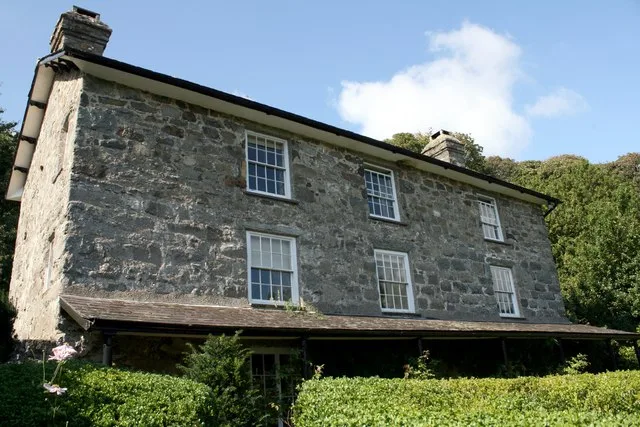
Plas yn Rhiw
Stately homes · 3.2 km

Bryn Llanengan
Mountains & hills · 3.3 km

Pen-y-gaer
Mountains & hills · 3.5 km
Pen-y-gaer
Mountains & hills · 3.5 km
Nearby
📷 5📷 5Historic churches · North Wales
St Engan's Church
St Engan's Church — Grade I listed building-listed church in wales-north, United Kingdom.
📷 5Historic churches · North Wales
Llanengan
Llanengan — a church in wales-north, United Kingdom.
📷 5Vineyards · North Wales
Castell, Llanengan
Castell, Llanengan — a UK vineyard in wales north, producing English or Welsh wine from cool-climate grape varieties.
📷 5Historic churches · North Wales
Llandegwning
Llandegwning () is a village and former civil parish in the Welsh county of Gwynedd. The parish was abolished in 1934, and incorporated into Botwnnog.
Where to eat & stay near Porth Neigwl
Places to stay
📷 5 📷 5
📷 5Caravan parks · North Wales
Green Pastures Caravan Park
Green Pastures Caravan Park — a caravan park in wales north.
 📷 5
📷 5 📷 5
📷 5Caravan parks · North Wales
Rhandir Caravan Park
Rhandir Caravan Park — a caravan park in wales north.
 📷 5📷 5
Caravan parks · North Wales
Bryn Cethin Bach Caravan Park
Bryn Cethin Bach Caravan Park — a caravan park in wales north.
Places to eat & drink
 📷 5
📷 5More beaches in this region
 📷 3
📷 3Beaches · North Wales
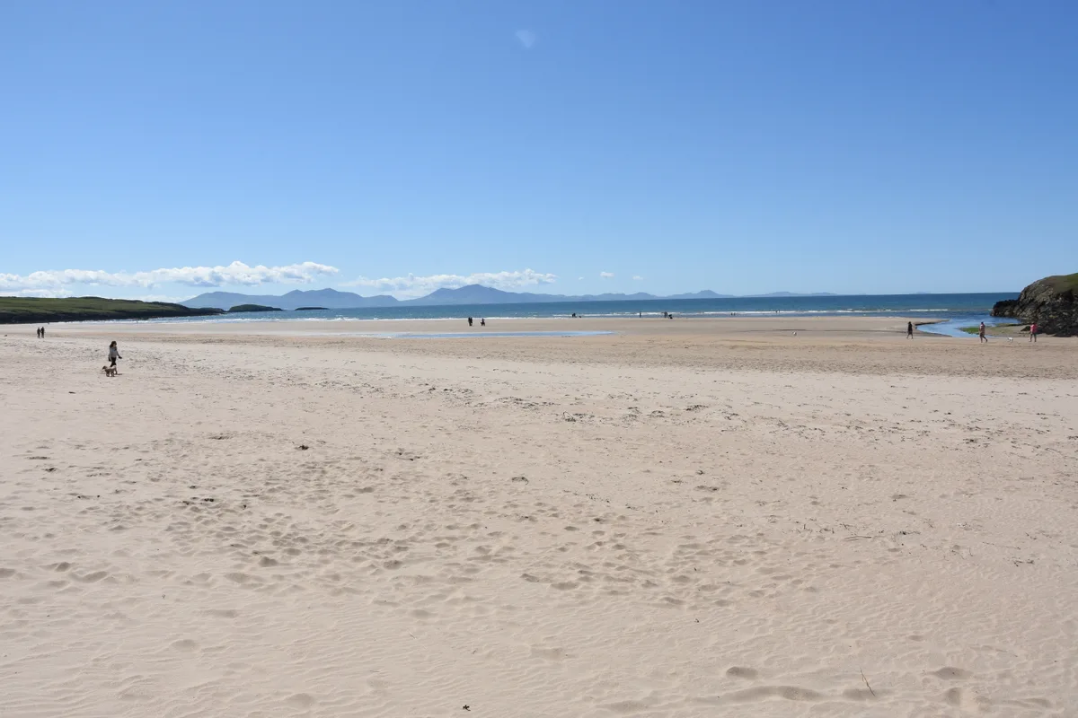
Aberffraw Sands
Aberffraw Sands — sandy beach on west coast of Anglesey, in Wales, UK.
 📷 3
📷 3 📷 3
📷 3 📷 3
📷 3Frequently asked questions
- Where is Porth Neigwl?
- Porth Neigwl is in North Wales, United Kingdom (postcode LL53 7LS), in the parish of Llanengan.
- What is Porth Neigwl?
- Porth Neigwl is a beach in the United Kingdom.
- How do I get to Porth Neigwl?
- Drivers can use postcode LL53 7LS.
- Is Porth Neigwl free to visit?
- Yes, Porth Neigwl is free to enter.
- How do I get to Porth Neigwl?
- Drivers can navigate to postcode LL53 7LS. It sits within the Dwyfor Meirionnydd parliamentary constituency.