
Archaeological sites · North West England
Portfield
In or near Whalley.
Portfield — a archaeological in england-north-west, United Kingdom.

Chris Heaton — CC BY-SA 2.0 via Wikimedia Commons licence

Plan your visit
- Typical visit
- 45 min–1.5 h
- Nearest railway station
- Whalley · 1.8 km
- Free entry
- Dog-friendly
About
Portfield is a archaeological located in england-north-west, United Kingdom. Sourced from OpenStreetMap (ODbL licence); see local listings for visitor information, opening hours and admission details.
Photo gallery
Protected designations
- Area of Outstanding Natural Beauty: Forest Of Bowland
Designations sourced from Natural England open data under OGL v3.
Place summary
Portfield is an archaeological site located in North-West England. It is known for its significant historical findings, contributing to the understanding of the region's ancient past.
AI-generated from the structured facts on this page (operator, designation, listing, era). Not a substitute for visiting.
- Coordinates
- 53.8158, -2.3885
- County
- Lancashire
- District
- Ribble Valley
- Parish
- Whalley
- Postcode
- BB7 9DP
- Parliamentary constituency
- Pendle and Clitheroe
- Nearest railway station
- Whalley — 1.8 km
Sources
- osm: node/30099956 (ODbL)
Other places nearby

Portfield hillfort
Vineyards · 0.1 km

Turn Hill
Mountains & hills · 0.7 km

Whalley Bridge
Historic bridges · 1.3 km

Whalley Nab
Mountains & hills · 1.3 km

Whalley
Towns & cities · 1.4 km
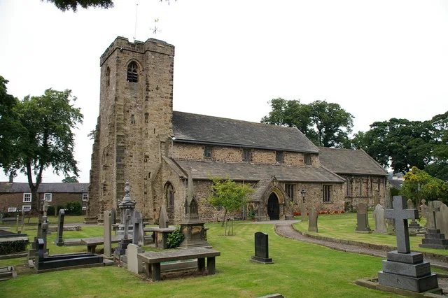
Church of St Mary and All Saints, Whalley
Historic churches · 1.4 km

Whalley War Memorial
Memorials & monuments · 1.4 km

Forge Corner
Memorials & monuments · 1.5 km

Whalley Cistercian abbey
Abbeys & priories · 1.5 km
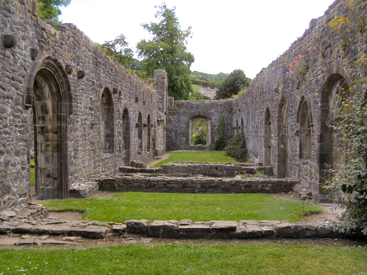
Whalley Abbey
Abbeys & priories · 1.5 km
Whalley Abbey
Cathedrals · 1.5 km

Wiswell Shay Farm CC Site
Campsites · 1.6 km
Nearby
📷 5Vineyards · North West England
Portfield hillfort
Portfield hillfort — a UK vineyard in england north west, producing English or Welsh wine from cool-climate grape varieties.
📷 5Mountains & hills · North West England
Turn Hill
Turn Hill — mountain in england north west. Elevation: 68 m.
📷 3Historic bridges · North West England
Whalley Bridge
Whalley Bridge — scheduled monument-listed bridge in england-north-west, United Kingdom.
📷 5Mountains & hills · North West England
Whalley Nab
Whalley Nab — mountain in england north west. Elevation: 185 m.
Flagship📷 5Towns & cities · North West England
Whalley
Whalley — village and civil parish in Ribble Valley, Lancashire, UK.
📷 3Historic churches · North West England
Church of St Mary and All Saints, Whalley
Church of St Mary and All Saints, Whalley — Grade I listed church in Whalley, Ribble Valley, Lancashire, England, UK.
Where to eat & stay near Portfield
Places to stay
📷 5Campsites · North West England
Wiswell Shay Farm CC Site
Wiswell Shay Farm CC Site — a campsite in england north west.
 📷 5
📷 5Caravan parks · North West England
Bridge Heywood Caravan Park
Bridge Heywood Caravan Park — a caravan park in england north west.
 📷 5
📷 5Campsites · North West England
Bowley International Scout Centre
Bowley International Scout Centre — a campsite in england north west.
 📷 5
📷 5Caravan parks · North West England
Harwood Bar Caravan Park
Harwood Bar Caravan Park — a caravan park in england north west.
 📷 5
📷 5 📷 5
📷 5Caravan parks · North West England
Stubbins Vale Caravan Park
Stubbins Vale Caravan Park — a caravan park in england north west.
Places to eat & drink
 📷 5
📷 5Historic pubs · North West England
Swan with Two Necks
Swan with Two Necks in England North West, United Kingdom.
 📷 5
📷 5Restaurants · North West England
The Three Fishes
The Three Fishes — a restaurant in england north west.
 📷 5
📷 5 📷 5
📷 5 📷 5📷 5
Restaurants · North West England
Fence Gate Inn
Fence Gate Inn — a restaurant in england north west.
More archaeological sites in this region
 📷 3
📷 3Archaeological sites · North West England
Early medieval sculptural fragments in St Mary's churchyard
Early medieval sculptural fragments in St Mary's churchyard — archaeological site in Sandbach, Cheshire East, England, UK.
 📷 3
📷 3Archaeological sites · North West England
Gaddum's Wood
Gaddum's Wood is a archaeological site in the United Kingdom.
 📷 3
📷 3Archaeological sites · North West England
Marton moated monastic grange, three fishponds, connecting channels and base of stone cross
Marton moated monastic grange, three fishponds, connecting channels and base of stone cross — archaeological site in Whitegate and Marton, Cheshire West and Chester, England, UK.
 📷 3
📷 3Archaeological sites · North West England
St Oswalds Well
St Oswalds Well — a archaeological in england-west-midlands, United Kingdom.
Frequently asked questions
- Where is Portfield?
- Portfield is in Lancashire, North-West England, United Kingdom (postcode BB7 9DP), in the parish of Whalley.
- What is Portfield?
- Portfield — a archaeological in england-north-west, United Kingdom.
- How do I get to Portfield?
- The nearest railway station is Whalley, about 1.8 km away. Drivers can use postcode BB7 9DP.
- Is Portfield a protected site?
- Yes — Portfield is part of the Forest Of Bowland National Landscape (AONB).
- Is Portfield free to visit?
- Yes, Portfield is free to enter.
- How do I get to Portfield?
- The nearest railway station is Whalley, about 1.8 km away. Drivers can navigate to postcode BB7 9DP.