
Harbours & ports · North East England
Port of Tyne
In or near South Shields.
Port of Tyne — commercial docks of the River Tyne.
.jpg?width=1200)
Wikimedia Commons contributors — see linked file page for photographer and licence licence
.jpg)
Plan your visit
- Typical visit
- 45 min–1.5 h
- Nearest railway station
- Bede · 1.3 km
- Family-friendly
- Dog-friendly
About
Port of Tyne is a harbour in the United Kingdom. Wikidata describes it as: "commercial docks of the River Tyne". Coordinates: 54.9855°, -1.4605°.
Photo gallery
From the Wikipedia article
The Port of Tyne comprises the commercial docks on and around the River Tyne in Tyne and Wear in the northeast of England.
Excerpt from Wikipedia under CC BY-SA 4.0. See the source article linked in Sources below.
Background
History
There has been a port on the Tyne at least since the Romans used their settlement of Arbeia to supply the garrison of Hadrian's Wall. Around 1200, stone-faced, clay-filled jetties began to project into the river in Newcastle, an indication that trade was increasing. As the Roman roads continued to deteriorate, sea travel gained in importance. By 1275 Newcastle was the sixth largest wool-exporting port in England. The principal exports at this time were wool, timber, coal, millstones, dairy produce, fish, salt, and hides. Much of the developing trade was with the Baltic countries and Germany. Coal was being exported from Newcastle by 1250, and by 1350 the burgesses received a royal licence…
Description
The Port of Tyne is the navigation authority for the tidal reaches of the River Tyne, from the mouth to the Tidal Stone at Wylam, a distance of 17 miles. It also has jurisdiction for one mile past the roundheads at the piers at the river mouth. The port handles conventional and bulk cargoes at the Riverside Quay. There are two car terminals, one on either side of the river, a cruise terminal at Northumbrian Quay on the north side, and a ferry terminal at North Shields. The Port of Tyne applied to become a freeport after the UK left the EU on 31 January 2020 but the application was rejected.
Sourced from Wikipedia under CC BY-SA 4.0.
- Coordinates
- 54.9855, -1.4605
- District
- South Tyneside
- Parish
- South Tyneside, unparished area
- Postcode
- NE34 9PL
- Parliamentary constituency
- Jarrow and Gateshead East
- Nearest railway station
- Bede — 1.3 km
- Official site
- www.portoftyne.co.uk
Sources
- wikidata: Q7231289 (CC0)
- wikipedia: Port of Tyne (CC BY-SA 4.0)
- commons: Port of Tyne as seen from DFDS King Seaways - Newcastle upon Tyne - North East England - 25 Aug. 2012 - (1).jpg (CC BY-SA 4.0)
Other places nearby

Tyneside
Other places · 0.3 km
Tyne Renewable Energy Plant
Other places · 0.4 km

Royal Quays
Other places · 0.8 km

Anglo-Saxon Farm and Village
Museums · 0.9 km

Bede Museum
Museums · 0.9 km
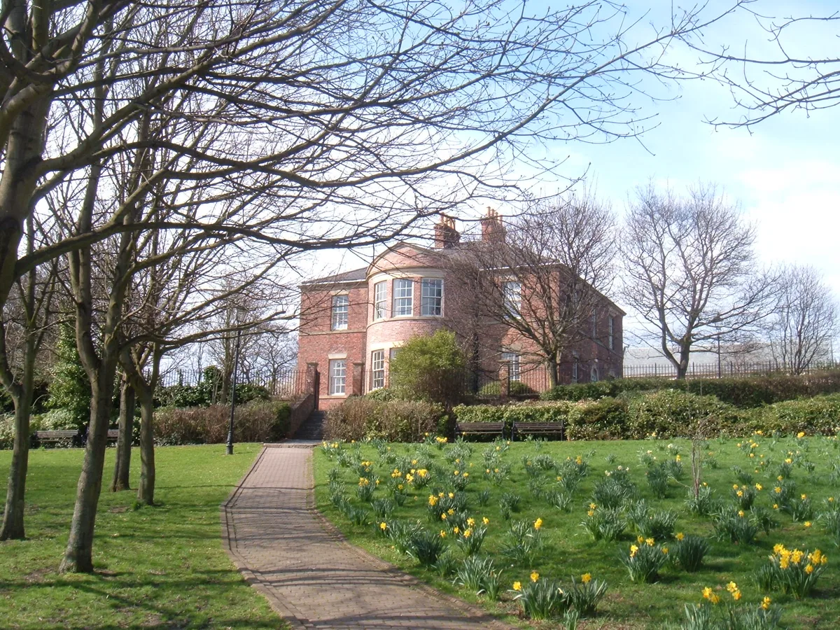
Jarrow Hall
Museums · 0.9 km

Parish Church of St Paul, Jarrow
Historic churches · 0.9 km

Jarrow Bridge
Historic bridges · 0.9 km
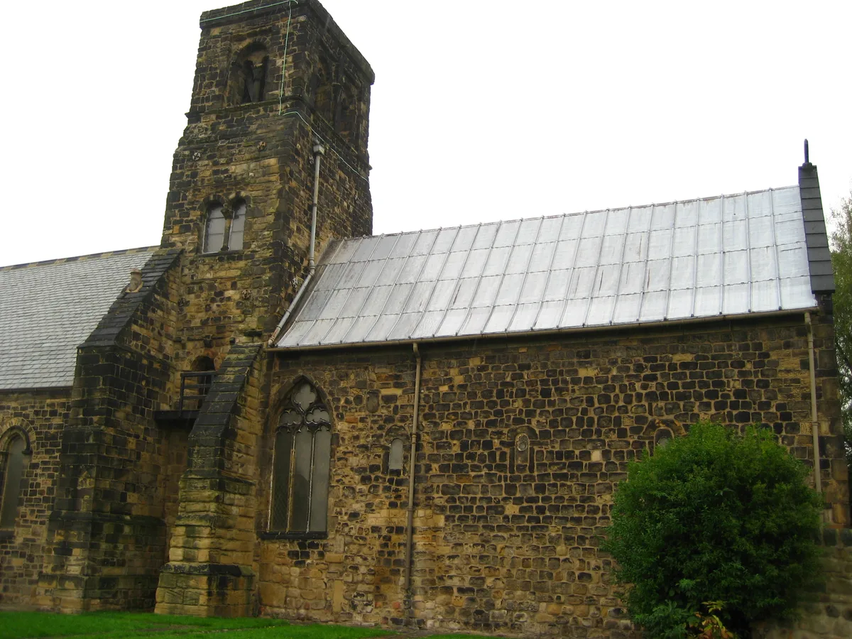
Monastery Of St Paul Ruins Of Jarrow Monastery
Abbeys & priories · 1.0 km

Lightning Clock
Public art & sculpture · 1.1 km
Inflata Nation
Theme parks · 1.1 km

South Shields power station
Other places · 1.2 km
Nearby
📷 4📷 3Other places · North East England
Tyne Renewable Energy Plant
Tyne Renewable Energy Plant in England North East, United Kingdom.
📷 4Other places · North East England
Royal Quays
Royal Quays in England North East, United Kingdom.
📷 3Museums · North East England
Anglo-Saxon Farm and Village
Anglo-Saxon Farm and Village — a museum in North East England, United Kingdom.
📷 3Museums · North East England
Bede Museum
Bede Museum — a museum in North East England, United Kingdom.
📷 3Museums · North East England
Jarrow Hall
Jarrow Hall — museum in Jarrow, England, United Kingdom.
Where to eat & stay near Port of Tyne
Places to stay
 📷 5
📷 5B&Bs · North East England
The Clifton
The Clifton — a bed-and-breakfast in scotland lowlands.
📷 5B&Bs · North East England
Forest Guest House
Forest Guest House — a bed-and-breakfast in scotland lowlands.
 📷 5
📷 5Caravan parks · North East England
Sandhaven Caravan Site
Sandhaven Caravan Site — a caravan park in scotland lowlands.
 📷 5
📷 5Hotels · North East England
The Grand Hotel
The Grand Hotel — a hotel in scotland lowlands.
 📷 5
📷 5Caravan parks · North East England
Lizard Lane Caravan Park
Lizard Lane Caravan Park — a caravan park in scotland lowlands.
 📷 5
📷 5B&Bs · North East England
York House Hotel
York House Hotel — a bed-and-breakfast in scotland lowlands.
Places to eat & drink
 📷 5
📷 5Cafés · North East England
Caffè Nero
Caffè Nero — a café in scotland lowlands. Cuisine: coffee shop. Brand: Caffè Nero.
 📷 5
📷 5Historic pubs · North East England
The Scotia Public House
The Scotia Public House in England North East, United Kingdom.
 📷 5
📷 5Historic pubs · North East England
The Kirkpatrick
The Kirkpatrick in England North East, United Kingdom.
 📷 5
📷 5Historic pubs · North East England
The Albert Public House
The Albert Public House in England North East, United Kingdom.
 📷 5
📷 5Historic pubs · North East England
Marsden Grotto
Marsden Grotto in England North East, United Kingdom.
 📷 5
📷 5Historic pubs · North East England
The Cluny
The Cluny in England North East, United Kingdom.
More places in this region
 📷 4
📷 4Harbours & ports · North East England
Carville railway station
Carville railway station in England North East, United Kingdom.
 📷 4
📷 4Harbours & ports · North East England
Tynemouth Lifeboat Station
Tynemouth Lifeboat Station in England North East, United Kingdom.
 📷 4
📷 4Harbours & ports · North East England
Blyth Lifeboat Station
Blyth Lifeboat Station in England North East, United Kingdom.
 📷 4
📷 4Harbours & ports · North East England
North Blyth
North Blyth in England North East, United Kingdom.
Frequently asked questions
- Where is Port of Tyne?
- Port of Tyne is in North-East England, United Kingdom (postcode NE34 9PL), in the parish of South Tyneside, unparished area.
- What is Port of Tyne?
- Port of Tyne — commercial docks of the River Tyne.
- How do I get to Port of Tyne?
- The nearest railway station is Bede, about 1.3 km away. The nearest town is South Shields. Drivers can use postcode NE34 9PL.
- Who owns Port of Tyne?
- Port of Tyne is owned by Port of Tyne trust port.
- How do I get to Port of Tyne?
- The nearest railway station is Bede, about 1.3 km away. Drivers can navigate to postcode NE34 9PL.