
Beaches · Scottish Islands
Port Ban
Also known as: Port Bannatyne, Port MhicEamailinn
Port Ban is a beach in the United Kingdom.

Karl and Ali — CC BY-SA 2.0 via Wikimedia Commons licence

Plan your visit
- Typical visit
- 1 h–3 h
- Best time of year
- Summer (Jun–Aug)
- Free entry
- Family-friendly
- Dog-friendly
About
Port Ban is a named beach on the United Kingdom coastline. Coordinates: 56.3328°, -6.4274°. This entry is part of The Great Britain Guide, a free, ad-free, open-data tourist directory.
Photo gallery
From the Wikipedia article
Port Bannatyne (Scottish Gaelic: Port MhicEamailinn), is a coastal village on the Isle of Bute, Firth of Clyde, Scotland that is home to many steamers. Port Bannatyne developed into the 1900s as a quieter alternative to Rothesay. It is a popular harbour, with a small yacht marina and boatyard and an unusual 13-hole golf course rather than the standard 18.
Excerpt from Wikipedia under CC BY-SA 4.0. See the source article linked in Sources below.
Background
History
The village started in 1801 with the building of a small harbour on Kames Bay. Lord Bannatyne of Kames Castle, at the head of the bay, planned the village in an attempt to rival Rothesay. Initially known as Kamesburgh, by the mid-19th century, steamers were calling there regularly. In the Second World War midget submarines exercised in the bay and nearby Loch Striven. The luxury Kyles Hydro Hotel, overlooking the Port, was requisitioned by the Admiralty to serve as the HQ for midget submarine (x-craft) operations. In particular, it was from here (hotel renamed ) that the top secret and audacious attack on the Tirpitz was masterminded.
Sourced from Wikipedia under CC BY-SA 4.0.
- Coordinates
- 56.3328, -6.4274
- District
- Argyll and Bute
- Postcode
- PA76 6SP
- Parliamentary constituency
- Argyll, Bute and South Lochaber
Sources
- osm: w268382033 (ODbL)
- wikipedia: Port Bannatyne (CC BY-SA 4.0)
Other places nearby

Dun Cul Bhuirg
Archaeological sites · 0.2 km

Camas Cùil an t-Saimh
Beaches · 0.6 km
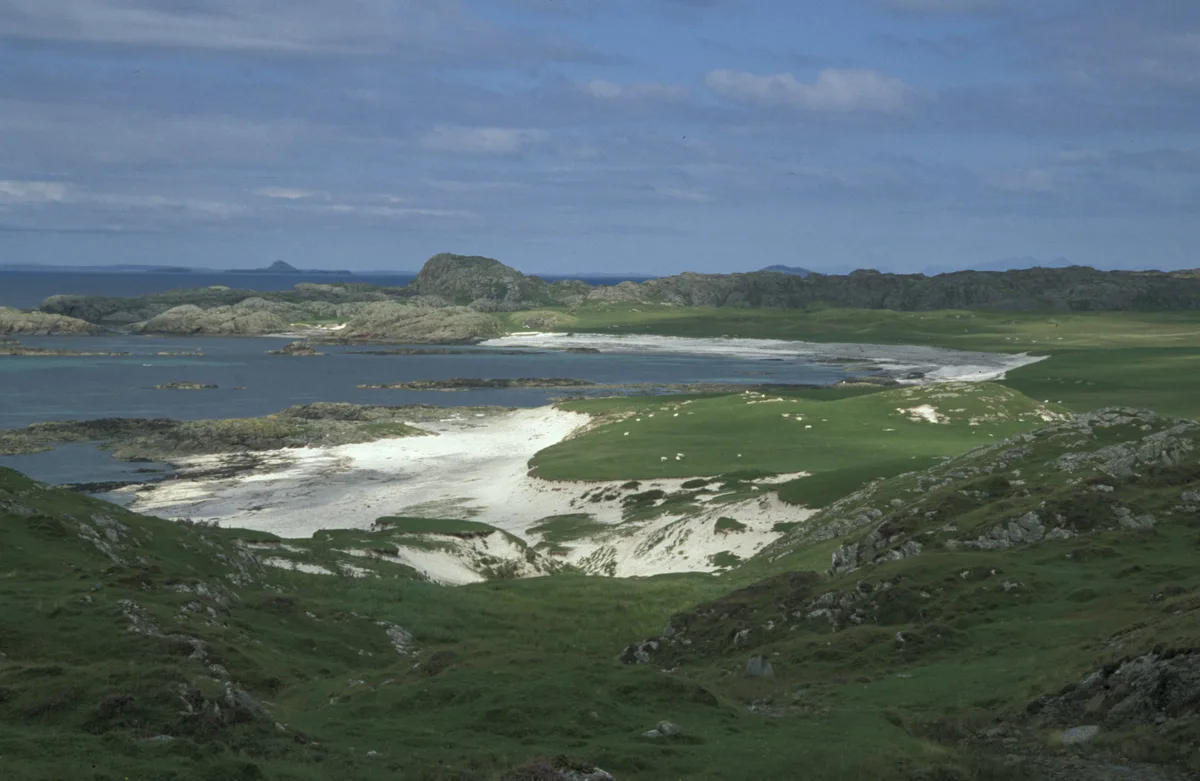
Bay at the Back of the Ocean
Mountains & hills · 0.8 km

Cnoc Urrais
Mountains & hills · 1.1 km
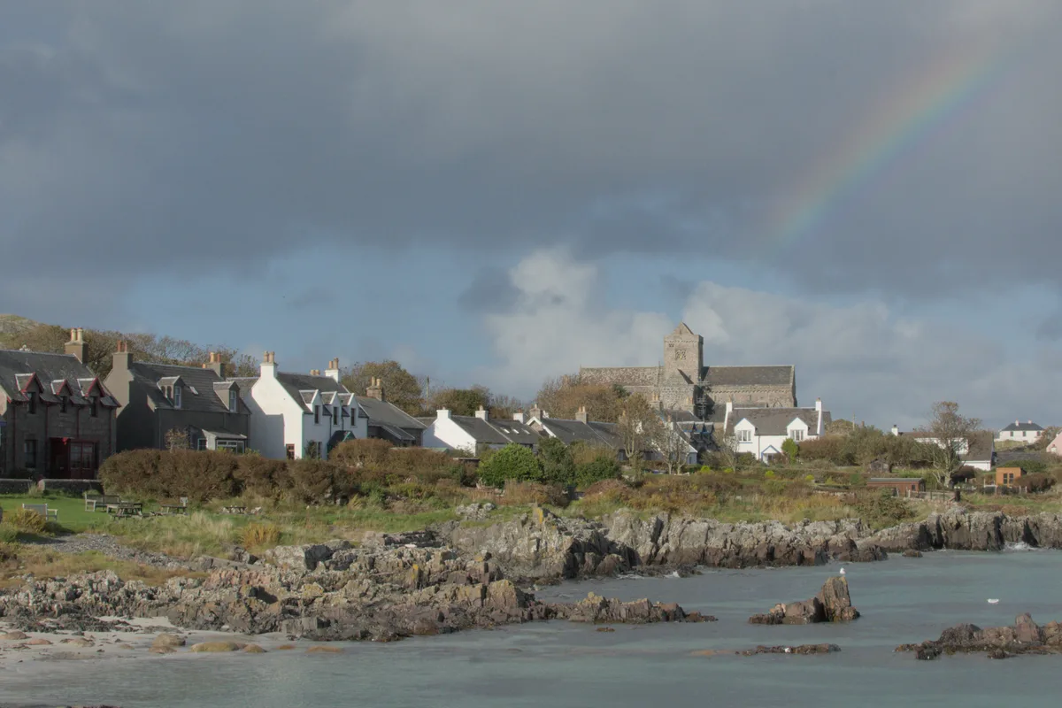
Iona
Islands · 1.1 km

Stone Fort
Forts · 1.3 km

Iona Campsite
Campsites · 1.3 km

Spouting Cave
Caves · 1.4 km

Cnoc Druidean
Mountains & hills · 1.7 km

Cnoc Druidean
Mountains & hills · 1.7 km
Cnoc na Buaile
Mountains & hills · 1.9 km

The MacLeod Centre
Hostels · 2.0 km
Nearby
📷 3Archaeological sites · Scottish Islands
Dun Cul Bhuirg
Dun Cul Bhuirg — a archaeological in scotland-highlands, United Kingdom.
📷 3Beaches · Scottish Islands
Camas Cùil an t-Saimh
Camas Cùil an t-Saimh is a beach in the United Kingdom.
📷 5Mountains & hills · Scottish Islands
Bay at the Back of the Ocean
Bay at the Back of the Ocean — bay on the island of Iona, Argyll and Bute, Scotland, UK.
📷 5Mountains & hills · Scottish Islands
Cnoc Urrais
Cnoc Urrais — mountain in scotland highlands. Elevation: 63 m.
Flagship📷 5📷 3Where to eat & stay near Port Ban
Places to stay
📷 5Campsites · Scottish Islands
Iona Campsite
Iona Campsite — a campsite in scotland highlands.
📷 5 📷 5
📷 5 📷 5
📷 5Campsites · Scottish Islands
Fidden Farm
Fidden Farm — a campsite in scotland highlands.
 📷 5
📷 5 📷 5
📷 5Hostels · Central Scotland
Ulva Hostel
Ulva Hostel — a hostel in scotland highlands.
Places to eat & drink
 📷 5
📷 5Restaurants · Central Scotland
The Boathouse
The Boathouse — a restaurant in scotland highlands.
More beaches in this region
 📷 3
📷 3 📷 3
📷 3 📷 3
📷 3Beaches · Scottish Islands
An Tràigh-lochain
An Tràigh-lochain is a beach in the United Kingdom.
 📷 3
📷 3Frequently asked questions
- Where is Port Ban?
- Port Ban is in the Scottish Highlands, United Kingdom (postcode PA76 6SP).
- What is Port Ban?
- Port Ban is a beach in the United Kingdom.
- How do I get to Port Ban?
- Drivers can use postcode PA76 6SP.
- Is Port Ban free to visit?
- Yes, Port Ban is free to enter.
- How do I get to Port Ban?
- Drivers can navigate to postcode PA76 6SP. It sits within the Argyll, Bute and South Lochaber parliamentary constituency.