
Historic churches · Mid Wales
Pontrobert
In or near Llanfair Caereinion.
Pontrobert is an ecclesiastical parish that was formed in September 1854. It comprises the townships of Teirtref and part of Nantymeichiaid in the parish Meifod, a portion of Cynhinfa which was in the

John Phillips — CC BY-SA 2.0 via Wikimedia Commons licence

Plan your visit
- Typical visit
- 30 min–1 h
- Nearest railway station
- Heniarth · 4.9 km
- Free entry
Getting there & planning your visit
To visit Pontrobert, the nearest railway station is Heniarth, located 4.9 km away. Entry to the church is free, and the postcode for navigation is SY22 6HY.
About
Pontrobert is an ecclesiastical parish that was formed in September 1854. It comprises the townships of Teirtref and part of Nantymeichiaid in the parish Meifod, a portion of Cynhinfa which was in the parish of Llangynyw and portions of the townships of Fachwel, Llaethbwlch and Cadwnfa which were in the parish of Llanfihangel. The total area of this parish is 5,000 acres. As a result of this arrangement, Pont Robert is now divided between the present day Community Councils of Meifod, Llangynyw and Mawddwy. Pontrobert was within the historic county of Montgomeryshire, now forming part of Powys. The name Pontrobert is derived from Robert ap Oliver of Cyhinfa, who built the original bridge over the River Vyrnwy around 1700. An alternative Welsh name for Pontrobert is Pont y ddolfeiniog.
Photo gallery
From the Wikipedia article
Pontrobert is an ecclesiastical parish that was formed in September 1854. It comprises the townships of Teirtref and part of Nantymeichiaid in the parish Meifod, a portion of Cynhinfa which was in the parish of Llangynyw and portions of the townships of Fachwel, Llaethbwlch and Cadwnfa which were in the parish of Llanfihangel. The total area of this parish is 5,000 acres. As a result of this arrangement, Pont Robert is now divided between the present day Community Councils of Meifod, Llangynyw and Mawddwy. Pontrobert was within the historic county of Montgomeryshire, now forming part of Powys. The name Pontrobert is derived from Robert ap Oliver of Cyhinfa, who built the original bridge over the River Vyrnwy around 1700. An alternative Welsh name for Pontrobert is Pont y ddolfeiniog.
Excerpt from Wikipedia under CC BY-SA 4.0. See the source article linked in Sources below.
Background
Description
The church was built in 1853 following the formation of the new parish to designs by Richard Kyrke Penson. The church is in the Deanery of Ceirienion, the Archdeaconery of Montgomery and the Diocese of St Asaph. The church has well proportioned gable ends and slates meeting the walls without a coping. Simple Early English style with a west bellcote, and interior without structural division. The roof has arched braces resting on low imposts.
Sourced from Wikipedia under CC BY-SA 4.0.
- Coordinates
- 52.7050, -3.3210
- District
- Powys
- Parish
- Llangyniew
- Postcode
- SY22 6HY
- Parliamentary constituency
- Montgomeryshire and Glyndwr
- Nearest railway station
- Heniarth — 4.9 km
Sources
- wikipedia: Pontrobert (CC BY-SA 4.0)
Other places nearby
.jpg?width=1200)
Hen Capel John Hughes
Chapels · 0.3 km

Pontrobert Mill
Watermills · 0.4 km

Pont-Robert
Villages · 0.6 km

Dolobran Hall
Historic houses · 1.1 km

Friends Meeting House
Chapels · 1.6 km

Pen y Garth
Mountains & hills · 1.6 km

Ffridd Mathrafal
Mountains & hills · 1.7 km

Ffridd Mathrafal
Vineyards · 1.7 km

The Voel
Mountains & hills · 1.7 km

Pont-y-Ffatri
Historic bridges · 1.7 km

Pen-Llys
Vineyards · 2.3 km

Bryn-y-Saethau
Vineyards · 2.3 km
Nearby
📷 3Chapels · Mid Wales
Hen Capel John Hughes
Hen Capel John Hughes — Calvinistic Methodist chapel in Welshpool.
📷 3📷 5📷 3📷 3Chapels · Mid Wales
Friends Meeting House
Friends Meeting House — Religious Society of Friends meeting house in Welshpool.
📷 3Mountains & hills · Mid Wales
Pen y Garth
Pen y Garth — a mountain in wales-north, United Kingdom, 265 m.
Where to eat & stay near Pontrobert
Places to stay
 📷 5
📷 5Caravan parks · Mid Wales
Fir View Tan Y Ffridd Holiday Park
Fir View Tan Y Ffridd Holiday Park — a caravan park in wales mid.
 📷 5
📷 5Caravan parks · Mid Wales
Pen-Y-Pentre Caravan Park
Pen-Y-Pentre Caravan Park — a caravan park in wales mid.
 📷 3
📷 3Caravan parks · Mid Wales
Dolgead Hall Caravan and Lodge Park
Dolgead Hall Caravan and Lodge Park — a caravan park in wales mid.
 📷 5
📷 5Caravan parks · Mid Wales
Neuadd Bridge Static Caravan Park
Neuadd Bridge Static Caravan Park — a caravan park in wales mid.
 📷 5
📷 5 📷 5
📷 5Places to eat & drink
 📷 7
📷 7 📷 4
📷 4Historic pubs · Mid Wales
The Checkers
The Checkers in Wales Mid, United Kingdom.
 📷 7
📷 7 📷 5
📷 5Historic pubs · North Wales
Butcher's Arms Public House
Butcher's Arms Public House in Wales North, United Kingdom.
 📷 5
📷 5More places in this region
 📷 3
📷 3Historic churches · Mid Wales
Church of St Peter
Church of St Peter — Grade I listed church, Shropshire, England, UK.
 📷 4
📷 4Historic churches · Mid Wales
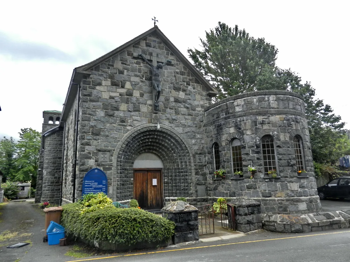
Our Lady of Seven Sorrows Church
Our Lady of Seven Sorrows Church — church in Dolgellau, Wales.
 📷 4
📷 4Historic churches · Mid Wales
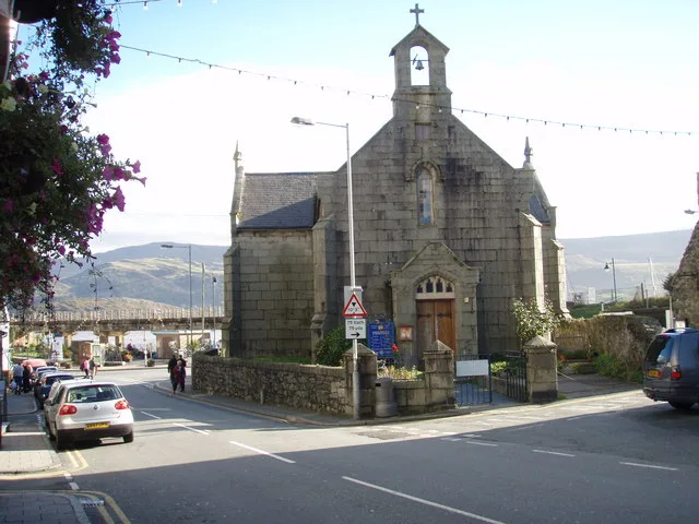
St David's Church
St David's Church — church in Barmouth, Gwynedd, Wales.
 📷 5
📷 5Historic churches · Mid Wales
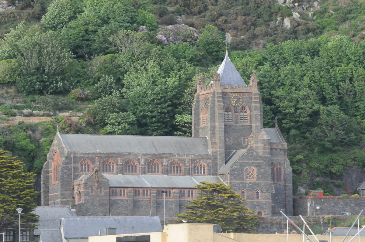
St John's Church
St John's Church — church in Barmouth, north Wales.
Frequently asked questions
- Where is Pontrobert?
- Pontrobert is in North Wales, United Kingdom (postcode SY22 6HY), in the parish of Llangyniew.
- What is Pontrobert?
- Pontrobert is an ecclesiastical parish that was formed in September 1854. It comprises the townships of Teirtref and part of Nantymeichiaid in the parish Meifod, a portion of Cynhinfa which was in the
- How do I get to Pontrobert?
- The nearest railway station is Heniarth, about 4.9 km away. Drivers can use postcode SY22 6HY.
- Is Pontrobert free to visit?
- Yes, Pontrobert is free to enter.
- How do I get to Pontrobert?
- The nearest railway station is Heniarth, about 4.9 km away. Drivers can navigate to postcode SY22 6HY.