
Historic bridges · Mid Wales
Pont Reilffordd Abermaw
In or near Dyffryn Ardudwy.
Pont Reilffordd Abermaw is a historic bridge in the United Kingdom.

Wikimedia Commons contributors — see linked file page for photographer and licence licence

Plan your visit
- Typical visit
- 15 min–30 min
- Nearest railway station
- Barmouth Ferry · 0.5 km
- Free entry
- Dog-friendly
Getting there & planning your visit
To visit Pont Reilffordd Abermaw, you can take the train to Barmouth Ferry, which is 0.5 km away. Entry is free. The postcode for sat-nav is LL42 1EQ.
About
Pont Reilffordd Abermaw is a named historic bridge in the United Kingdom. Coordinates: 52.7167°, -4.0417°. This entry is part of The Great Britain Guide, a free, ad-free, open-data tourist directory.
Photo gallery
Official information
Barmouth Viaduct is a Grade II* listed timber bridge located on the Cambrian Coast line in Wales. It is the only major timber-built bridge still in use and serves as a vital transport link while being historically significant.
From the Wikipedia article
Barmouth Bridge (Welsh: Pont Abermaw), or Barmouth Viaduct (Welsh: Traphont Abermaw), is a Grade II* listed single-track wooden railway viaduct across the estuary of the River Mawddach near Barmouth, Wales. It is 900 yards (820 m) long and carries the Cambrian Line. It is the longest timber viaduct in Wales and one of the oldest in regular use in Britain. Barmouth Bridge was designed by and constructed for the Aberystwith and Welsh Coast Railway on its line between Aberystwyth and Pwllheli. Work was authorised in 1861 and commenced in 1864. On 10 October 1867, the completed bridge was officially opened. Following the discovery of severe corrosion on underwater sections of ironwork, an intensive restoration programme was performed between December 1899 and late 1902. By 1980, the viaduct was under attack by marine woodworm, which led to concerns that it would have to be closed and demolished. Because of its value to tourism, it was repaired between 1985 and 1986, a closure of six months; a weight restriction and ban on locomotive-hauled trains were also introduced. These restrictions have been relaxed since 2005. The viaduct, between Morfa Mawddach and Barmouth stations in Gwynedd, is used by rail, cyclists, motorcyclists and pedestrians and is part of the National Cycle Route 8. There is no provision for road traffic. Tolls were collected for foot and cycle traffic up to 2013, but this has been voluntary since 2017. To allow the passage of tall ships, the bridge originally incorporated a drawbridge, which was replaced by a swing bridge between 1899 and 1902. When the viaduct was refurbished again between 2020 and 2023, the swing-bridge mechanisms were not restored.
Excerpt from Wikipedia under CC BY-SA 4.0. See the source article linked in Sources below.
Background
History
A bridge across the Mawddach Estuary at Barmouth was proposed by the Aberystwith and Welsh Coast Railway, which constructed a line between Aberystwyth and Pwllheli. From 3 June 1867, the viaduct was opened for horse-drawn carriages to cross, and on 10 October, the bridge was officially opened, and steam-hauled services started using the track.
Sourced from Wikipedia under CC BY-SA 4.0.
- Coordinates
- 52.7167, -4.0417
- District
- Gwynedd
- Parish
- Barmouth
- Postcode
- LL42 1EQ
- Parliamentary constituency
- Dwyfor Meirionnydd
- Phone
- 03457 11 41 41
- Nearest railway station
- Barmouth Ferry — 0.5 km
- Official site
- web.archive.org
Sources
- osm: w656247659 (ODbL)
- wikipedia: Barmouth Bridge (CC BY-SA 4.0)
- commons: Arthog - Barmouth Bridge - 20070915150033.jpg (CC BY-SA 4.0)
Other places nearby
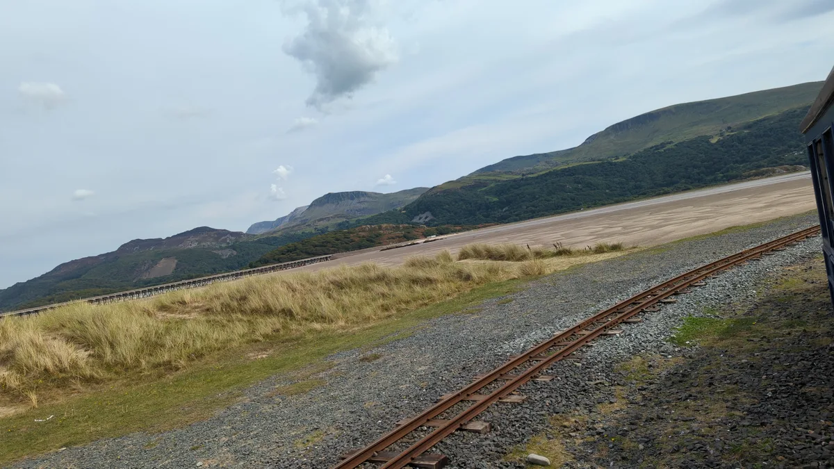
Fairbourne Sands
Beaches · 0.5 km

Bae Abermaw
Hotels · 0.5 km

Sailors' Institute
Museums · 0.7 km
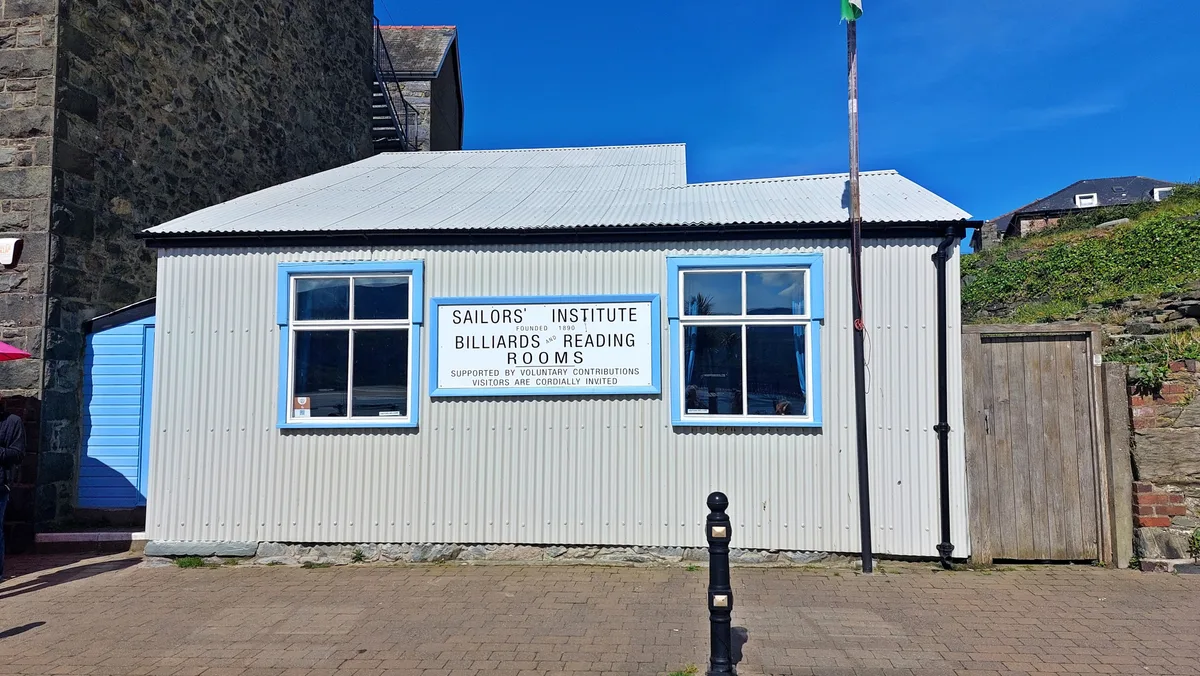
Barmouth Sailors' Institute
Museums · 0.7 km
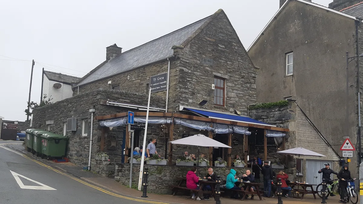
Tŷ Gwyn Bronze Bell Museum
Museums · 0.7 km

Cae Fadog
Viewpoints · 0.7 km
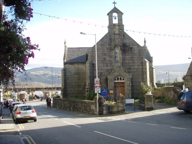
St David's Church
Historic churches · 0.7 km

Tŷ Gwyn and the Maritime Museum
Museums · 0.8 km

Dinas Oleu
Vineyards · 0.8 km

Cardigan Bay Dolphins
Public art & sculpture · 0.8 km

Frenchman's Grave
Follies · 0.8 km
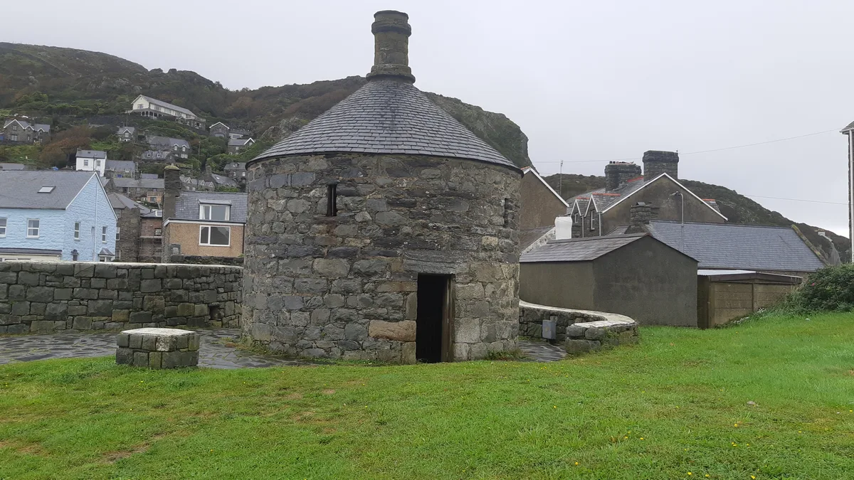
Tŷ Crwn
Museums · 0.8 km
Nearby
📷 3📷 5📷 3Museums · Mid Wales
Sailors' Institute
Sailors' Institute — a museum in Mid Wales, United Kingdom.
📷 3Museums · Mid Wales
Barmouth Sailors' Institute
Barmouth Sailors' Institute — Community centre, heritage organisation and museum in the Barmouth, Wales, UK.
📷 3Museums · Mid Wales
Tŷ Gwyn Bronze Bell Museum
Tŷ Gwyn Bronze Bell Museum is a museum in the United Kingdom.
📷 3Where to eat & stay near Pont Reilffordd Abermaw
Places to stay
📷 5 📷 5
📷 5 📷 7
📷 7 📷 7
📷 7 📷 5
📷 5 📷 5
📷 5Places to eat & drink
 📷 7
📷 7 📷 7
📷 7 📷 7
📷 7 📷 7
📷 7 📷 5
📷 5 📷 7
📷 7More bridges in this region
%2C_Taicynhaeaf.jpg?width=1200) 📷 3
📷 3Historic bridges · Mid Wales
Penmaenpool Toll Bridge
Penmaenpool Toll Bridge is a historic bridge in the United Kingdom.
 📷 5
📷 5Historic bridges · Mid Wales
Pont Pandy'r-Odyn
Pont Pandy'r-Odyn — Grade II listed building-listed bridge in wales-north, United Kingdom.
 📷 5
📷 5Historic bridges · Mid Wales
Bridge 110 over the Montgomeryshire Canal
Bridge 110 over the Montgomeryshire Canal — Grade II listed building-listed bridge in wales-north, United Kingdom.
 📷 5
📷 5Historic bridges · Mid Wales
Llandrinio Bridge
Llandrinio Bridge — scheduled monument-listed bridge in wales-north, United Kingdom.
Frequently asked questions
- Where is Pont Reilffordd Abermaw?
- Pont Reilffordd Abermaw is in Mid Wales, United Kingdom (postcode LL42 1EQ), in the parish of Barmouth.
- What is Pont Reilffordd Abermaw?
- Pont Reilffordd Abermaw is a historic bridge in the United Kingdom.
- How do I get to Pont Reilffordd Abermaw?
- The nearest railway station is Barmouth Ferry, about 0.5 km away. The nearest town is Dyffryn Ardudwy. Drivers can use postcode LL42 1EQ.
- Is Pont Reilffordd Abermaw free to visit?
- Yes, Pont Reilffordd Abermaw is free to enter.
- How do I get to Pont Reilffordd Abermaw?
- The nearest railway station is Barmouth Ferry, about 0.5 km away. Drivers can navigate to postcode LL42 1EQ.