
Cemeteries · Yorkshire & the Humber
Pocklington Cemetery
Also known as: Pocklington
In or near Barmby Moor.
Pocklington Cemetery is a cemetery in the United Kingdom.

DS Pugh — CC BY-SA 2.0 via Wikimedia Commons licence

Plan your visit
- Typical visit
- 30 min–1 h
- Free entry
- Dog-friendly
About
Pocklington Cemetery is a named cemetery in the United Kingdom. Coordinates: 53.9261°, -0.7801°. This entry is part of The Great Britain Guide, a free, ad-free, open-data tourist directory.
Photo gallery
Official information
Pocklington Cemetery is a local burial ground that serves the community of Pocklington. It provides a peaceful environment for reflection and remembrance, featuring various memorials and natural landscapes.
Protected designations
- Site of Special Scientific Interest: River Derwent SSSI
Designations sourced from Natural England open data under OGL v3.
From the Wikipedia article
Pocklington () is a market town and civil parish at the foot of the Yorkshire Wolds in the East Riding of Yorkshire, England. At the 2021 United Kingdom census, its population was 10,123. It lies 13 miles (21 km) east of York, and 22 miles (35 km) north-west of Hull. The town's skyline is marked by the 15th-century tower of All Saints' parish church. The ecclesiastical parish includes the hamlet of Kilnwick Percy.
Excerpt from Wikipedia under CC BY-SA 4.0. See the source article linked in Sources below.
Background
History
]] Pocklington gets its name via the Old English "Poclintun" from the Anglian settlement of Pocel's (or Pocela's) people and the Old English word "tun" meaning farm or settlement, but though the town's name can only be traced back to around 650 AD, the inhabitation of Pocklington as a site is thought to extend back a further 1,000 years or more to the Bronze Age. Pocklington appears on the 14th-century Gough Map, the oldest route map in Great Britain. In the Iron Age Pocklington was a major town of the Parisi tribe. In 2017, a Celtic warrior's grave, dated to about BC 320 to 174, was discovered at a housing development under construction. After archeologists had completed a very long…
Sourced from Wikipedia under CC BY-SA 4.0.
- Coordinates
- 53.9261, -0.7801
- District
- East Riding of Yorkshire
- Parish
- Pocklington
- Postcode
- YO42 2GL
- Parliamentary constituency
- Goole and Pocklington
- Official site
- www.pocklington.gov.uk
Sources
- osm: w38327783 (ODbL)
- wikipedia: Pocklington (CC BY-SA 4.0)
Other places nearby

Burnby Hall Gardens
Gardens · 0.3 km
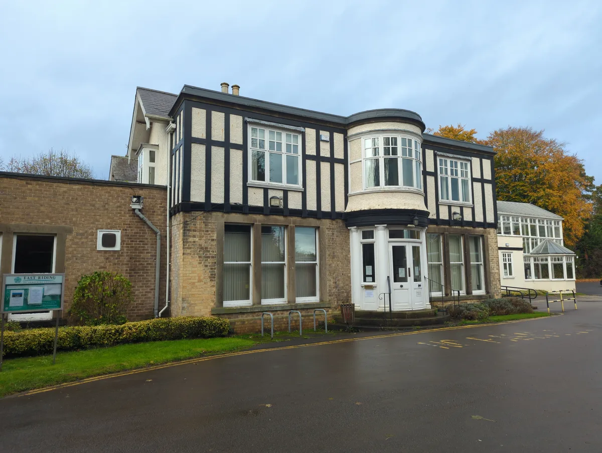
The Stewart Museum
Museums · 0.4 km

Burnby Hall Museum
Museums · 0.4 km

The Acorn Gallery
Galleries · 0.5 km

Pocklington Arts Centre
Theatres · 0.5 km
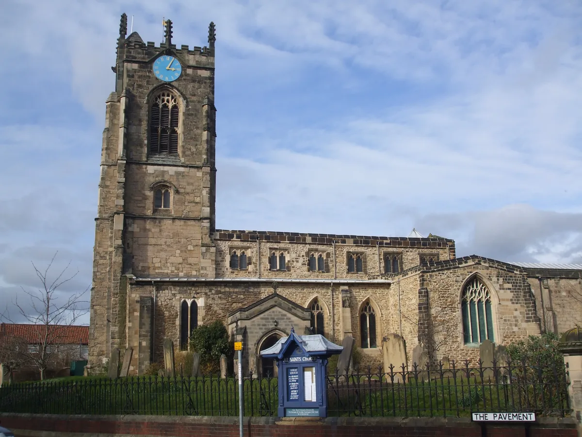
Church of All Saints, Pocklington
Historic churches · 0.5 km

Central Hall
Theatres · 0.6 km

Canal Head Picnic site
Canals · 1.2 km

South Lea
Caravan parks · 1.4 km

The Mile Campsite
Campsites · 1.6 km

Yapham Mill
Windmills · 2.4 km

Barmby Moor
Towns & cities · 2.5 km
Nearby
📷 5Gardens · Yorkshire & the Humber
Burnby Hall Gardens
Burnby Hall Gardens — gardens in the East Riding of Yorkshire, England.
📷 3Museums · Yorkshire & the Humber
The Stewart Museum
The Stewart Museum — museum in York, England, United Kingdom.
📷 3Museums · Yorkshire & the Humber
Burnby Hall Museum
Burnby Hall Museum — a museum in england-yorkshire, United Kingdom.
📷 3Galleries · Yorkshire & the Humber
The Acorn Gallery
The Acorn Gallery — a gallery in england-yorkshire, United Kingdom.
📷 5Theatres · Yorkshire & the Humber
Pocklington Arts Centre
Pocklington Arts Centre — a cinema heritage in england-yorkshire, United Kingdom.
📷 5Historic churches · Yorkshire & the Humber
Church of All Saints, Pocklington
Church of All Saints, Pocklington — church in Pocklington, East Riding of Yorkshire, England, UK.
Where to eat & stay near Pocklington Cemetery
Places to stay
📷 5📷 5Campsites · Yorkshire & the Humber
The Mile Campsite
The Mile Campsite — a campsite in england yorkshire.
 📷 5
📷 5Campsites · Yorkshire & the Humber
Yapham Holds Farmhouse
Yapham Holds Farmhouse — a campsite in england yorkshire.
 📷 4
📷 4Caravan parks · Yorkshire & the Humber
Lakeside Caravan Park
Lakeside Caravan Park — a caravan park in england yorkshire.
 📷 5
📷 5Campsites · Yorkshire & the Humber
Wilton Lodge Farm
Wilton Lodge Farm — a campsite in england yorkshire.
 📷 5
📷 5Campsites · Yorkshire & the Humber
Givendale Scout Campsite
Givendale Scout Campsite — a campsite in england yorkshire.
Places to eat & drink
 📷 5
📷 5Historic pubs · Yorkshire & the Humber
The Blacksmith Arms
The Blacksmith Arms in England Yorkshire, United Kingdom.
 📷 5
📷 5Historic pubs · Yorkshire & the Humber
The Duke Of York
The Duke Of York in England Yorkshire, United Kingdom.
 📷 6
📷 6Historic pubs · Yorkshire & the Humber
The Tiger Public House
The Tiger Public House in England Yorkshire, United Kingdom.
 📷 5
📷 5Historic pubs · Yorkshire & the Humber
The Black Swan Public House
The Black Swan Public House in England Yorkshire, United Kingdom.
 📷 5
📷 5Historic pubs · Yorkshire & the Humber
Golden Fleece Inn, York
Golden Fleece Inn, York in England Yorkshire, United Kingdom.
 📷 5
📷 5Cafés · Yorkshire & the Humber
Rowntree Park Reading Café
Rowntree Park Reading Café — a café in england yorkshire.
More cemeteries in this region
 📷 5
📷 5Cemeteries · Yorkshire & the Humber
Droylsden Cemetery
Droylsden Cemetery is a cemetery in the United Kingdom.
 📷 3
📷 3Cemeteries · Yorkshire & the Humber
Heaton Moor United Church
Heaton Moor United Church is a cemetery in the United Kingdom.
 📷 3
📷 3Cemeteries · Yorkshire & the Humber
Philips Park Cemetery
Philips Park Cemetery is a cemetery in the United Kingdom.
📷 3Cemeteries · Yorkshire & the Humber
St Paul's C of E Church
St Paul's C of E Church is a cemetery in the United Kingdom.
Frequently asked questions
- Where is Pocklington Cemetery?
- Pocklington Cemetery is in Yorkshire, United Kingdom (postcode YO42 2GL), in the parish of Pocklington.
- What is Pocklington Cemetery?
- Pocklington Cemetery is a cemetery in the United Kingdom.
- How do I get to Pocklington Cemetery?
- Drivers can use postcode YO42 2GL.
- Is Pocklington Cemetery a protected site?
- Yes — Pocklington Cemetery is part of the River Derwent SSSI Site of Special Scientific Interest.
- Is Pocklington Cemetery free to visit?
- Yes, Pocklington Cemetery is free to enter.
- How do I get to Pocklington Cemetery?
- Drivers can navigate to postcode YO42 2GL. It sits within the Goole and Pocklington parliamentary constituency.