
Historic bridges · South West England
Plym Bridge
In or near Tamerton Foliot.
Plym Bridge — Grade II* listed building-listed bridge in england-south-west, United Kingdom.

Derek Harper — CC BY-SA 2.0 via Wikimedia Commons licence

Plan your visit
- Typical visit
- 15 min–30 min
- Nearest railway station
- Plym Bridge · 0.1 km
- Free entry
- Dog-friendly
Getting there & planning your visit
To visit Plym Bridge, the nearest railway station is Plym Bridge, located just 0.1 km away. Entry is free.
About
Plym Bridge is a Grade II* listed building-listed bridge in england-south-west, United Kingdom, registered on the National Heritage List for England (NHLE entry 1162902). Listed status protects buildings and structures of special architectural or historic interest. See the linked Wikipedia article for further details.
Photo gallery
360° viewimagery from 2022
Imagery © Mapillary contributors, CC BY-SA 4.0
Heritage listing
The South Devon and Tavistock Railway linked Plymouth with Tavistock in Devon; it opened in 1859. It was extended by the Launceston and South Devon Railway to Launceston, in Cornwall in 1865. It was a broad gauge line but from 1876 also carried the standard gauge (then referred to as narrow gauge) trains of the London and South Western Railway between Lydford and Plymouth: a third rail was provided, making a mixed gauge. In 1892 the whole line was converted to standard gauge only. The line closed to passengers in 1962 although sections at either end were retained for a while to carry freight traffic.
From the Historic England List Entry under OGL v3.
Protected designations
- Area of Outstanding Natural Beauty: South Devon
Designations sourced from Natural England open data under OGL v3.
From the Wikipedia article
The South Devon and Tavistock Railway linked Plymouth with Tavistock in Devon; it opened in 1859. It was extended by the Launceston and South Devon Railway to Launceston, in Cornwall in 1865. It was a broad gauge line but from 1876 also carried the standard gauge (then referred to as narrow gauge) trains of the London and South Western Railway between Lydford and Plymouth: a third rail was provided, making a mixed gauge. In 1892 the whole line was converted to standard gauge only. The line closed to passengers in 1962 although sections at either end were retained for a while to carry freight traffic. A short section has since been reopened as a preserved line by the Plym Valley Railway.
Excerpt from Wikipedia under CC BY-SA 4.0. See the source article linked in Sources below.
- Coordinates
- 50.4097, -4.0791
- District
- Plymouth
- Parish
- Plymouth, unparished area
- Postcode
- PL6 8AW
- Parliamentary constituency
- Plymouth Moor View
- Nearest railway station
- Plym Bridge — 0.1 km
Sources
- wikidata: Q17554241 (CC0)
- wikipedia: Plym Bridge railway station (CC BY-SA 4.0)
Other places nearby

Cann Quarry Canal
Canals · 0.4 km

Peregrine Falcon viewing spot
Viewpoints · 0.9 km

Boringdon Arch
Follies · 1.0 km

Riverside Caravan Park
Caravan parks · 1.2 km

Riverside
Campsites · 1.3 km

Tor Bridge High
Historic bridges · 1.4 km
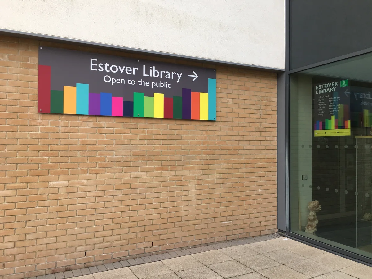
Estover Library
Historic libraries · 1.5 km

Railway bridge supports
Historic bridges · 1.6 km

Plym Valley Railway
Museums · 1.7 km

Boringdon Hall
Historic houses · 1.8 km

Fort Austin
Forts · 2.0 km

Boringdon Camp
Vineyards · 2.2 km
Nearby
📷 5Canals · South West England
Cann Quarry Canal
Cann Quarry Canal — former canal in Devon, England.
📷 5Viewpoints · South West England
Peregrine Falcon viewing spot
Peregrine Falcon viewing spot is a viewpoint in the United Kingdom.
📷 5📷 5Caravan parks · South West England
Riverside Caravan Park
Riverside Caravan Park — a caravan park in england south west.
📷 5Campsites · South West England
Riverside
Riverside — a campsite in england south west.
📷 5Historic bridges · South West England
Tor Bridge High
Tor Bridge High — a school heritage in england-south-west, United Kingdom.
Where to eat & stay near Plym Bridge
Places to stay
📷 5Caravan parks · South West England
Riverside Caravan Park
Riverside Caravan Park — a caravan park in england south west.
📷 5Campsites · South West England
Riverside
Riverside — a campsite in england south west.
 📷 5
📷 5 📷 5
📷 5Hostels · South West England
Mount Batten Centre
Mount Batten Centre — a hostel in england south west.
 📷 7
📷 7 📷 5
📷 5Hotels · South West England
Moxy Hotel
Moxy Hotel — a hotel in england south west.
Places to eat & drink
 📷 5
📷 5Restaurants · South West England
Toby Carvery
Toby Carvery — a restaurant in england south west. Cuisine: british. Brand: Toby Carvery.
 📷 7
📷 7Historic pubs · South West England
St Elizabeth's House
St Elizabeth's House in England South West, United Kingdom.
 📷 5
📷 5Restaurants · South West England
Miller & Carter
Miller & Carter — a restaurant in england south west. Cuisine: steak. Brand: Miller & Carter.
 📷 5
📷 5 📷 5
📷 5Historic pubs · South West England
Minerva Inn (Number 31)
Minerva Inn (Number 31) in England South West, United Kingdom.
 📷 7
📷 7More bridges in this region
 📷 5
📷 5Historic bridges · South West England
Avoncliff Aqueduct
Avoncliff Aqueduct is a historic bridge in the United Kingdom.
📷 5Historic bridges · South West England
Avoncliff Aqueduct
Avoncliff Aqueduct is a historic bridge in the United Kingdom.
 📷 5
📷 5Historic bridges · South West England
Bradford Viaduct
Bradford Viaduct is a historic bridge in the United Kingdom.
 📷 5
📷 5Historic bridges · South West England
Chippenham Viaduct
Chippenham Viaduct is a historic bridge in the United Kingdom.
Frequently asked questions
- Where is Plym Bridge?
- Plym Bridge is in South-West England, United Kingdom (postcode PL6 8AW), in the parish of Plymouth, unparished area.
- What is Plym Bridge?
- Plym Bridge — Grade II* listed building-listed bridge in england-south-west, United Kingdom.
- How do I get to Plym Bridge?
- The nearest railway station is Plym Bridge, about 0.1 km away. Drivers can use postcode PL6 8AW.
- Is Plym Bridge a listed building?
- Plym Bridge is officially recognised as Grade II* listed building listed.
- Is Plym Bridge a protected site?
- Yes — Plym Bridge is part of the South Devon National Landscape (AONB).
- Is Plym Bridge free to visit?
- Yes, Plym Bridge is free to enter.
- How do I get to Plym Bridge?
- The nearest railway station is Plym Bridge, about 0.1 km away. Drivers can navigate to postcode PL6 8AW.