
Castles · Mid Wales
Plowden
In or near Onibury.
Plowden in Wales Mid, United Kingdom.

Anthony Parkes — CC BY-SA 2.0 via Wikimedia Commons licence

Plan your visit
- Typical visit
- 1.5 h–3 h
- Nearest railway station
- Craven Arms · 6.4 km
- Family-friendly
- Limited wheelchair access
Getting there & planning your visit
To visit Plowden Castle, the nearest railway station is Craven Arms, located 6.4 km away. The postcode for sat-nav is SY7 8BQ. Please note that wheelchair accessibility is limited.
About
Plowden is a place of interest in Wales Mid, United Kingdom — drawn from open-data sources for visitor reference. See the linked Wikipedia article for the full description.
Photo gallery
Protected designations
- Area of Outstanding Natural Beauty: Shropshire Hills
Designations sourced from Natural England open data under OGL v3.
From the Wikipedia article
Plowden is a hamlet in the parish of Lydbury North, Shropshire, England. It is in the valley of the River Onny and lies 3 miles east of Bishop's Castle. Plowden was one of the stations on the Bishops Castle Railway, which closed in 1935. Plowden Hall is a grade II* listed building, being a timber-framed building dating in part from about 1300, and is described in the novel John Inglesant by Joseph Henry Shorthouse, who drew the place as Lydiard. Its owners, the Plowden family, remained Roman Catholics after the Reformation and there is a Roman Catholic church of St Walburga in Plowden. When Edwin Plowden was awarded a life peerage in 1959 he took the title of Baron Plowden of Plowden in the county of Salop. GWR Hall class locomotive 4956 was named after the hall. Thomas Falkner, Jesuit missionary and explorer in South America, spent his last years as chaplain at Plowden Hall until his death there in 1784.
Excerpt from Wikipedia under CC BY-SA 4.0. See the source article linked in Sources below.
- Coordinates
- 52.4819, -2.9069
- District
- Shropshire
- Parish
- Lydbury North
- Postcode
- SY7 8BQ
- Parliamentary constituency
- South Shropshire
- Nearest railway station
- Craven Arms — 6.4 km
Sources
- wikidata: Q3876800 (CC0)
- wikipedia: Plowden, Shropshire (CC BY-SA 4.0)
Other places nearby
Plowden railway station
Heritage railway stations · 0.4 km

Ringwork 90m south east of Plowden Mill
Literary houses · 0.4 km

Plowden Mill
Castles · 0.5 km

Plowden
Villages · 0.6 km

Lynchgate Hill
Mountains & hills · 1.2 km

Billings Ring
Vineyards · 1.6 km
Billings Ring large univallate hillfort
Vineyards · 1.6 km

Edgton
Castles · 1.7 km

Black Knoll
Mountains & hills · 1.7 km

Enclosed Iron Age farmstead 700m west of Horderley Farm
Vineyards · 1.7 km
Edgton Castle Ring
Castles · 1.8 km

Edgton Ring-Motte
Literary houses · 1.8 km
Nearby
📷 4Heritage railway stations · Mid Wales
Plowden railway station
Plowden railway station in Wales Mid, United Kingdom.
📷 5Literary houses · Mid Wales
Ringwork 90m south east of Plowden Mill
Ringwork 90m south east of Plowden Mill — a literary house museum in wales mid.
📷 5📷 5📷 5📷 5Vineyards · Mid Wales
Billings Ring
Billings Ring — a UK vineyard in wales mid, producing English or Welsh wine from cool-climate grape varieties.
Where to eat & stay near Plowden
Places to stay
 📷 5
📷 5Campsites · Mid Wales
Walcot Hall Caravan & Camping Park
Walcot Hall Caravan & Camping Park — a campsite in wales mid.
 📷 5
📷 5Campsites · West Midlands
Hamperley Camping
Hamperley Camping — a campsite in wales mid.
 📷 5
📷 5Campsites · Mid Wales
Foxholes Camp Site
Foxholes Camp Site — a campsite in wales mid.
 📷 5
📷 5Campsites · West Midlands
Small Batch
Small Batch — a campsite in wales mid.
 📷 5
📷 5Campsites · West Midlands
Greenway Touring Park for Adults
Greenway Touring Park for Adults — a campsite in wales mid.
 📷 5
📷 5Places to eat & drink
 📷 7
📷 7Historic pubs · Mid Wales
The Six Bells And Former Stables To Rear
The Six Bells And Former Stables To Rear in Wales Mid, United Kingdom.
 📷 5
📷 5Historic pubs · Mid Wales
The Black Lion And Forecourt Railings
The Black Lion And Forecourt Railings in Wales Mid, United Kingdom.
 📷 4
📷 4 📷 5
📷 5 📷 5
📷 5Historic pubs · West Midlands
The Bucks Head Public House
The Bucks Head Public House in Wales Mid, United Kingdom.
 📷 5
📷 5More castles in this region
 📷 3
📷 3Castles · Mid Wales
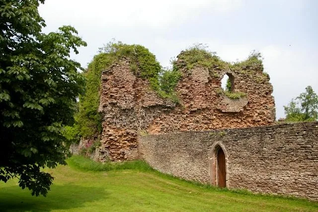
Alberbury Castle
Alberbury Castle — castle in Alberbury with Cardeston, Shropshire, England, UK.
 📷 5
📷 5Castles · Mid Wales
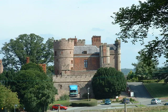
Rowton Castle
Rowton Castle — castle in Alberbury with Cardeston, Shropshire, England, UK.
 📷 4
📷 4Castles · Mid Wales
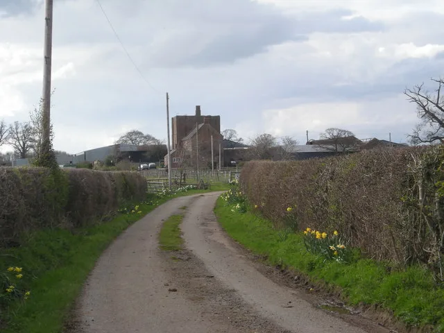
Wattlesborough Castle
Wattlesborough Castle — Grade I listed castle in Shropshire, England, UK.
 📷 5
📷 5Castles · Mid Wales
Wollaston, Shropshire
Wollaston, Shropshire — a castle in wales-north, United Kingdom.
Frequently asked questions
- Where is Plowden?
- Plowden is in Mid Wales, United Kingdom (postcode SY7 8BQ), in the parish of Lydbury North.
- What is Plowden?
- Plowden in Wales Mid, United Kingdom.
- How do I get to Plowden?
- The nearest railway station is Craven Arms, about 6.4 km away. Drivers can use postcode SY7 8BQ.
- Is Plowden a protected site?
- Yes — Plowden is part of the Shropshire Hills National Landscape (AONB).
- Does Plowden charge admission?
- Plowden typically charges admission. Check the official site for current ticket prices and opening hours.
- How do I get to Plowden?
- The nearest railway station is Craven Arms, about 6.4 km away. Drivers can navigate to postcode SY7 8BQ.