Mountains & hills · Scottish Highlands
Ploc an Rubha
Ploc an Rubha — a hill or mountain in scotland highlands.

Claire Pegrum — CC BY-SA 2.0 via Wikimedia Commons licence
Plan your visit
- Typical visit
- 3 h–8 h
- Best time of year
- Late spring – early autumn (May–Oct)
About
A British hill or mountain, named on Ordnance Survey maps and walked by hill-baggers. Ploc an Rubha is a named hill or mountain in scotland highlands, recorded in the GeoNames UK gazetteer. British landmarks of this type are typically marked on Ordnance Survey maps and recorded in the national gazetteer for cartographic and navigational reference. Coordinates and feature classification are sourced from the GeoNames open dataset.
Photo gallery
Place summary
Ploc an Rubha is a mountain located in the Scottish Highlands. It is known for its rugged terrain and scenic views characteristic of the region. Visitors can expect a challenging hike with diverse landscapes typical of Highland geography. The area is suitable for experienced walkers and those seeking to explore the natural beauty of Scotland.
AI-generated from the structured facts on this page (operator, designation, listing, era). Not a substitute for visiting.
- Coordinates
- 57.7934, -5.6043
Sources
- manual: geonames-12612653 (CC BY 4.0)
Other places nearby
Loading nearby places…
Nearby
 📷 2
📷 2Vineyards · Scottish Highlands
Loch Thurnaig
Loch Thurnaig — a UK vineyard in scotland highlands, producing English or Welsh wine from cool-climate grape varieties.
📷 5Natural landmarks · Scottish Highlands
Loch Thuirnaig
Loch Thuirnaig — a natural feature in scotland highlands.
 📷 5
📷 5Mountains & hills · Scottish Highlands
Meall an Doire
Meall an Doire — a hill or mountain in scotland highlands.
 📷 3
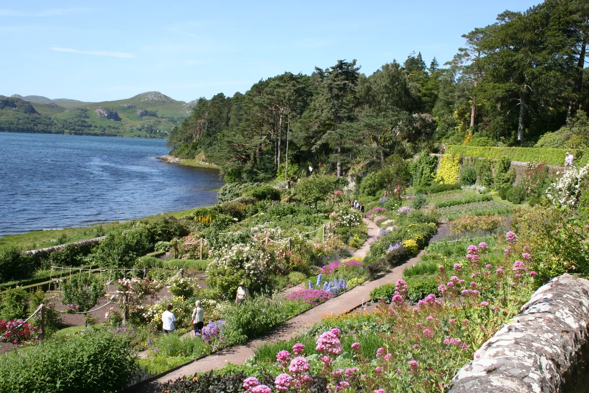
📷 3Gardens · Scottish Highlands
Inverewe Garden
Inverewe Garden — botanical garden in Scotland.
 📷 3
📷 3Reservoirs & lochs · Scottish Highlands
Tournaig
Tournaig in Scotland Islands, United Kingdom.
 📷 3
📷 3Memorials & monuments · Scottish Highlands
Alexander Cameron, the Tournaig Bard Memorial Cairn
Alexander Cameron, the Tournaig Bard Memorial Cairn — a memorial in scotland-highlands, United Kingdom.
Where to eat & stay near Ploc an Rubha
Places to stay
 📷 5
📷 5Campsites · Scottish Highlands
Poolewe Caravan & Camping Club
Poolewe Caravan & Camping Club — a campsite in scotland highlands.
 📷 5
📷 5Campsites · Scottish Highlands
Gairloch Caravan & Camp Site
Gairloch Caravan & Camp Site — a campsite in scotland highlands.
 📷 5
📷 5Hotels · Scottish Highlands
Myrtle Bank Hotel
Myrtle Bank Hotel — a hotel in scotland highlands.
 📷 5
📷 5Campsites · Scottish Highlands
Gruinard Bay Caravan park
Gruinard Bay Caravan park — a campsite in scotland highlands.
 📷 5
📷 5Campsites · Scottish Highlands
Sands Caravan and Camping
Sands Caravan and Camping — a campsite in scotland highlands.
 📷 5
📷 5Hostels · Scottish Highlands
Gairloch Carn Dearg Youth Hostel
Gairloch Carn Dearg Youth Hostel — a hostel in scotland highlands.
More mountains in this region
 📷 3
📷 3Mountains & hills · Scottish Highlands
A' Bhuidheanach Bheag
A' Bhuidheanach Bheag — Named summit at 936 m.
 📷 3
📷 3Mountains & hills · Scottish Highlands
A' Chailleach
A' Chailleach — Named summit at 997 m.
 📷 3
📷 3Mountains & hills · Scottish Highlands
A' Chailleach
A' Chailleach — Named summit at 930 m.
 📷 3
📷 3Mountains & hills · Scottish Highlands
A' Chaoirnich
A' Chaoirnich — Named summit at 875 m.
Frequently asked questions
- Where is Ploc an Rubha?
- Ploc an Rubha is in the Scottish Highlands, United Kingdom.
- What is Ploc an Rubha?
- Ploc an Rubha — a hill or mountain in scotland highlands.
- How do I get to Ploc an Rubha?
- Its coordinates are 57.7934°, -5.6043°.