Heritage railway stations · North East England
Plashetts railway station
In or near Falstone.
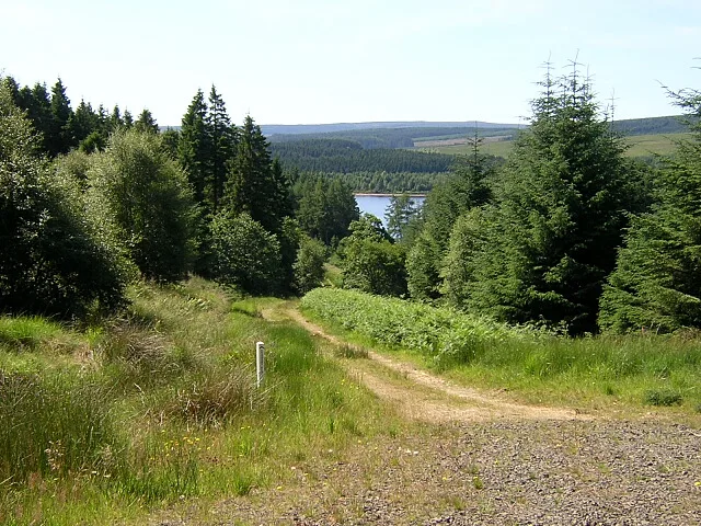
Plashetts railway station in England North East, United Kingdom.

Oliver Dixon — CC BY-SA 2.0 via Wikimedia Commons licence
Plan your visit
- Typical visit
- 1 h–2 h
- Free entry
About
Plashetts railway station is a place of interest in England North East, United Kingdom — drawn from open-data sources for visitor reference. See the linked Wikipedia article for the full description.
Photo gallery
Protected designations
- Site of Special Scientific Interest: Kielder Mires SSSI
Designations sourced from Natural England open data under OGL v3.
From the Wikipedia article
Plashetts railway station is a closed stone built railway station that served the mining hamlet of Plashetts, in Northumberland, England, which is now beneath the surface of Kielder Water.
Excerpt from Wikipedia under CC BY-SA 4.0. See the source article linked in Sources below.
Background
History
Plashetts railway station was on the Border Counties Railway which linked the Newcastle and Carlisle Railway, near Hexham, with the Border Union Railway at . The first section of the route was opened between Hexham and Chollerford in 1858, the remainder opening in stages until completion 1862. The line was closed to passengers by British Railways in 1956. The station had a single platform and a tall signal box. This was a fairly substantial station having a waggonway branch, which ran from here up Slater's incline, to the Plashetts and Far Colliery. To the north of the station were one or two houses and at the end of the waggonway a miners' village. The station is now submerged beneath…
Sourced from Wikipedia under CC BY-SA 4.0.
- Coordinates
- 55.2042, -2.5270
- District
- Northumberland
- Parish
- Falstone
- Postcode
- NE48 1QZ
- Parliamentary constituency
- Hexham
Sources
- wikidata: Q7201740 (CC0)
- wikipedia: Plashetts railway station (CC BY-SA 4.0)
Other places nearby
Viewpoints
Public art & sculpture · 0.4 km
Kielder Forest
Archaeological sites · 0.4 km

Janus Chairs
Public art & sculpture · 0.5 km

Silvas Capitalis
Public art & sculpture · 0.9 km

Scout Adventures Hawkhirst
Campsites · 1.1 km

Plashetts
Other places · 1.4 km

Mounces Viewpoint
Viewpoints · 1.6 km

HMS Standard
Other places · 1.8 km

Robin's Hut
Natural landmarks · 1.9 km

Lewiefield Halt railway station
Heritage railway stations · 2.2 km

The Human Burrow
Public art & sculpture · 2.4 km

Kielder Column
Other places · 2.5 km
Nearby
📷 3Public art & sculpture · North East England
Viewpoints
Viewpoints — a public art in scotland-lowlands, United Kingdom.
📷 3Archaeological sites · North East England
Kielder Forest
Kielder Forest — forestry plantation in Northumberland, England.
📷 3Public art & sculpture · North East England
Janus Chairs
Janus Chairs — a public art in scotland-lowlands, United Kingdom.
📷 3Public art & sculpture · North East England
Silvas Capitalis
Silvas Capitalis — a public art in scotland-lowlands, United Kingdom.
📷 5Campsites · North East England
Scout Adventures Hawkhirst
Scout Adventures Hawkhirst — a campsite in scotland lowlands.
📷 3Where to eat & stay near Plashetts railway station
Places to stay
📷 5Campsites · North East England
Scout Adventures Hawkhirst
Scout Adventures Hawkhirst — a campsite in scotland lowlands.
 📷 5
📷 5Campsites · North East England
Kielder Campsite
Kielder Campsite — a campsite in scotland lowlands.
 📷 5
📷 5Caravan parks · North East England
Ravenshill Forest Park
Ravenshill Forest Park — a caravan park in scotland lowlands.
 📷 5
📷 5Hostels · North East England
Tarset Tor bunkhouse
Tarset Tor bunkhouse — a hostel in scotland lowlands.
 📷 5
📷 5 📷 5
📷 5Caravan parks · North East England
Border Forest Caravan Park
Border Forest Caravan Park — a caravan park in scotland lowlands.
Places to eat & drink
 📷 5
📷 5Historic pubs · North East England
The Redesdale Arms
The Redesdale Arms in Scotland Lowlands, United Kingdom.
 📷 7
📷 7 📷 4
📷 4More places in this region
 📷 3
📷 3Heritage railway stations · North East England
Bottle of Notes
Bottle of Notes — Public artwork by Claes Oldenburg.
 📷 4
📷 4Heritage railway stations · North East England
Henry Bolckow
Henry Bolckow — Public artwork (statue).
 📷 4
📷 4Heritage railway stations · North East England
Justice
Justice — Public artwork (statue).
.jpg?width=1200) 📷 3
📷 3Heritage railway stations · North East England
Ladle of Steel
Ladle of Steel — Public artwork by Steve Tomlinson.
Frequently asked questions
- Where is Plashetts railway station?
- Plashetts railway station is in North-East England, United Kingdom (postcode NE48 1QZ), in the parish of Falstone.
- What is Plashetts railway station?
- Plashetts railway station in England North East, United Kingdom.
- How do I get to Plashetts railway station?
- Drivers can use postcode NE48 1QZ.
- Is Plashetts railway station a protected site?
- Yes — Plashetts railway station is part of the Kielder Mires SSSI Site of Special Scientific Interest.
- Is Plashetts railway station free to visit?
- Yes, Plashetts railway station is free to enter.
- How do I get to Plashetts railway station?
- Drivers can navigate to postcode NE48 1QZ. It sits within the Hexham parliamentary constituency.