
Piers · Scottish Islands
Pier, St Mary's
In or near St Margaret's Hope.
Pier, St Mary's — category B listed building-listed pier in scotland-islands, United Kingdom.

Gordon Hatton — CC BY-SA 2.0 via Wikimedia Commons licence

Plan your visit
- Typical visit
- 30 min–1 h
- Best time of year
- Summer
- Free entry
- Family-friendly
- Dog-friendly
- Limited wheelchair access
About
Pier, St Mary's is a category B listed building-listed pier in scotland-islands, United Kingdom, registered on the Historic Environment Scotland register (entry LB46389). Listed status protects buildings and structures of special architectural or historic interest. See the linked Wikipedia article for further details.
Photo gallery
See it from the streetimagery from 2022
Imagery © Mapillary contributors, CC BY-SA 4.0
Heritage listing
Category B Date Added 16/09/1999 Local Authority Orkney Islands Planning Authority Orkney Islands Parish Holm NGR HY 47557 01310 Coordinates 347557, 1001310 — 1877, extended later. Long, low rectangular rubble pier, extended E at seaward end; chamfered concrete blocking course along E side; low, harled wall along W side with battered base; cemented surface; cemented slipway to E. — Constructed to meet the needs of the ever-growing herring fishing industry which had begun to peak circa 1829. By 1877, after many petitions for financial assistance, St Mary's finally obtained its deep-water pier where the herring catches could be landed. The booming trade, with accompanying increases in associated workers, was abruptly halted in 1914 when block ships were sunk across the fairway and Holmsound to protect the Grand Fleet in Scapa Flow from underwater German attack. Consequently, St Mary's lost its link to the North Sea fishing grounds and their associated wealth.
From Historic Environment Scotland under OGL v3.
Place summary
The Pier, St Mary's is a category B listed building located in the Scottish Islands. It serves as a significant maritime structure, reflecting the architectural heritage of the area.
AI-generated from the structured facts on this page (operator, designation, listing, era). Not a substitute for visiting.
- Coordinates
- 58.8959, -2.9118
- District
- Orkney Islands
- Postcode
- KW17 2RS
- Parliamentary constituency
- Orkney and Shetland
Sources
- wikidata: Q17827084 (CC0)
Other places nearby

Bay of Legrow
Natural landmarks · 0.2 km

Bay of Ayre
Natural landmarks · 0.4 km

Broch of Ayre
Archaeological sites · 0.5 km

Saint Mary's
Villages · 0.5 km

Totempole
Natural landmarks · 0.8 km

St Mary's Bay
Natural landmarks · 0.8 km

Churchill Barriers
Islands · 0.9 km
Bay of Sandber
Natural landmarks · 0.9 km

Lamb Holm,settlement 450m WSW of Italian Chapel
Vineyards · 1.2 km

J Gow Rum
Distilleries · 1.2 km
Churchill Barriers Memorial
Memorials & monuments · 1.2 km
Bay of Sandoyne
Natural landmarks · 1.3 km
Nearby
📷 5Natural landmarks · Scottish Islands
Bay of Legrow
Bay of Legrow — a natural feature in scotland islands.
📷 5Natural landmarks · Scottish Islands
Bay of Ayre
Bay of Ayre — a natural feature in scotland islands.
📷 4Archaeological sites · Scottish Islands
Broch of Ayre
Broch of Ayre — archaeological site in Orkney Islands, Scotland, UK.
📷 5📷 3Natural landmarks · Scottish Islands
Totempole
Totempole — a other in scotland-islands, United Kingdom.
📷 5Natural landmarks · Scottish Islands
St Mary's Bay
St Mary's Bay — a natural feature in scotland islands.
Where to eat & stay near Pier, St Mary's
Places to stay
 📷 7
📷 7 📷 5
📷 5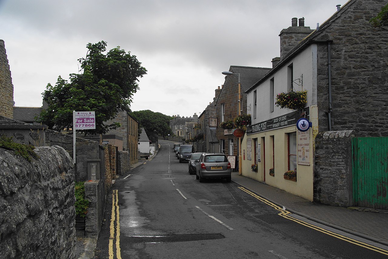 📷 5
📷 5 📷 5
📷 5Hostels · Scottish Islands
Lynnfield Hotel and Resturant
Lynnfield Hotel and Resturant — a hostel in scotland islands.
 📷 5
📷 5Hostels · Scottish Islands
Kirkwall Youth Hostel
Kirkwall Youth Hostel — a hostel in scotland islands. Brand: Hostelling Scotland.
 📷 5
📷 5More piers in this region
 📷 5
📷 5 📷 3
📷 3 📷 3
📷 3Piers · Scottish Islands
Calgary Pier, dun site
Calgary Pier, dun site — a pier in scotland-highlands, United Kingdom.
 📷 5
📷 5Piers · Scottish Islands
Pier, Eilean Glas Lighthouse, Scalpay
Pier, Eilean Glas Lighthouse, Scalpay — category A listed building-listed pier in scotland-highlands, United Kingdom.
Frequently asked questions
- Where is Pier, St Mary's?
- Pier, St Mary's is in the Scottish Islands, United Kingdom (postcode KW17 2RS).
- What is Pier, St Mary's?
- Pier, St Mary's — category B listed building-listed pier in scotland-islands, United Kingdom.
- How do I get to Pier, St Mary's?
- Drivers can use postcode KW17 2RS.
- Is Pier, St Mary's a listed building?
- Pier, St Mary's is officially recognised as category B listed building listed.
- Is Pier, St Mary's free to visit?
- Yes, Pier, St Mary's is free to enter.
- How do I get to Pier, St Mary's?
- Drivers can navigate to postcode KW17 2RS. It sits within the Orkney and Shetland parliamentary constituency.