
Hill forts · Scottish Islands
Pettigarths Field Cairns
In or near Symbister.
Pettigarths Field Cairns — neolithic archaeological site in Shetland Islands, Scotland, UK.

John Dally — CC BY-SA 2.0 via Wikimedia Commons licence

Plan your visit
- Typical visit
- 1 h–2 h
- Free entry
- Dog-friendly
About
Pettigarths Field Cairns is a hill fort in the United Kingdom. Wikidata describes it as: "neolithic archaeological site in Shetland Islands, Scotland, UK". Coordinates: 60.3675°, -0.9412°.
Photo gallery
From the Wikipedia article
The Pettigarths Field Cairns is a Neolithic site in the parish of Nesting, northeastern Whalsay, in the Shetland islands of Scotland. It is located approximately 140 metres (460 ft) to the northwest of Benie Hoose. The site contains upright stones as well as masonry. The south cairn is roughly 6 metres (20 ft) square, with an eastern entrance passage and circular chamber about 2 metres (6 ft 7 in) across. 4 metres (13 ft) to the north is a round cairn, 4.5 metres (15 ft) in diameter, with a rectangular cist. The two cairns are located on a rise, about 140 metres (460 ft) northwest of Benie Hoose. The first archaeological explorations were carried out in 1936 and 1938. They were then inferred to be tombs belonging to the Late Stone Age and Early Bronze Age. It was excavated in 1963 by C. S. T. Calder and visited by OS (NKB) on 30 May 1968.
Excerpt from Wikipedia under CC BY-SA 4.0. See the source article linked in Sources below.
Background
Architecture
The large cairn has a paved chamber and passage. The chamber is small and is heel-shaped; it is different in layout from three other cairns found in Shetland. The passage into the cairn is through two standing boulders. It is an expanding passage where stones are seen at its inner end. Parts of the jambs are described as the "terminal and lateral recesses of the trefoil." Some remnants of pottery were found here which could not be identified because of the fragmentary nature. The smaller, circular cairn was excavated up to its foundations. A slab covering was found in the cavity as grave robbers appeared to have tried robbing the tomb's interior. It revealed a trapezoidal slab-built cist of…
Sourced from Wikipedia under CC BY-SA 4.0.
- Coordinates
- 60.3675, -0.9412
- District
- Shetland Islands
- Postcode
- ZE2 9AW
- Parliamentary constituency
- Orkney and Shetland
Sources
- wikidata: Q7179336 (CC0)
- wikipedia: Pettigarths Field Cairns (CC BY-SA 4.0)
Other places nearby
Benie Hoose
Hill forts · 0.2 km

Standing Stones of Yoxie
Archaeological sites · 0.3 km

Gamla Vord
Mountains & hills · 0.4 km
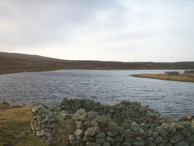
West Loch of Skaw
Natural landmarks · 0.9 km

Isbister
Reservoirs & lochs · 1.1 km

Whalsay Airport
Islands · 1.3 km
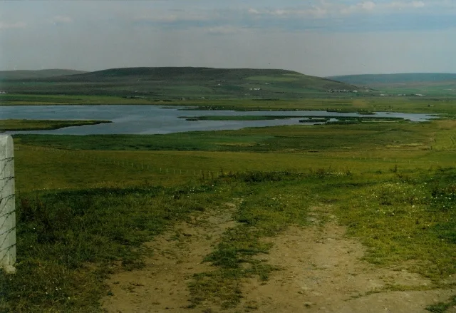
Loch Isbister
Natural landmarks · 1.3 km

Vaivoe
Other places · 1.5 km

Vats-houll
Reservoirs & lochs · 1.6 km
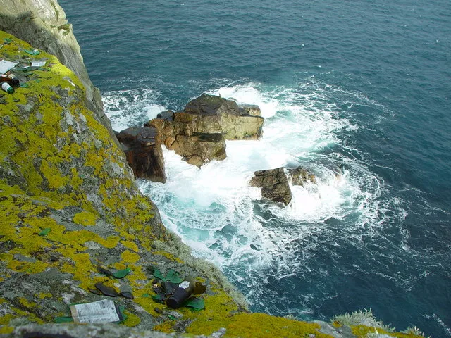
Whalsay
Islands · 1.8 km

Challister
Reservoirs & lochs · 2.0 km

Isbister Holm
Islands · 2.1 km
Nearby
📷 3Hill forts · Scottish Islands
Benie Hoose
Benie Hoose — Neolithic site on Whalsay, Shetland Islands, Scotland, UK.
📷 3Archaeological sites · Scottish Islands
Standing Stones of Yoxie
Standing Stones of Yoxie in Orkney + Shetland, United Kingdom.
📷 5📷 3Natural landmarks · Scottish Islands
West Loch of Skaw
West Loch of Skaw — lake in Shetland Islands, Scotland, UK.
📷 5📷 3Where to eat & stay near Pettigarths Field Cairns
Places to stay
 📷 5
📷 5 📷 5
📷 5Campsites · Scottish Islands
Burravoe Pier Trust Campsite
Burravoe Pier Trust Campsite — a campsite in scotland islands.
 📷 5
📷 5Campsites · Scottish Islands
South Nesting
South Nesting — a campsite in scotland islands.
 📷 5
📷 5Places to eat & drink
 📷 5
📷 5Historic pubs · Scottish Islands
Busta House Hotel, Brae
Busta House Hotel, Brae in England South East, United Kingdom.
More places in this region
 📷 3
📷 3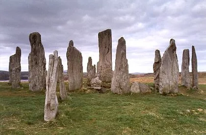 📷 5
📷 5Hill forts · Scottish Islands
Calanais Stones
Calanais Stones — neolithic standing stones near Calanais, Scotland.
 📷 5
📷 5Hill forts · Scottish Islands
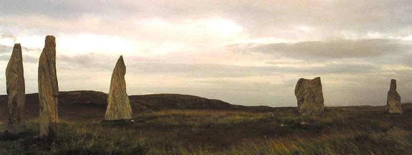
Callanish II
Callanish II — archaeological site in Outer Hebrides, Scotland, UK.
 📷 3
📷 3Hill forts · Scottish Islands
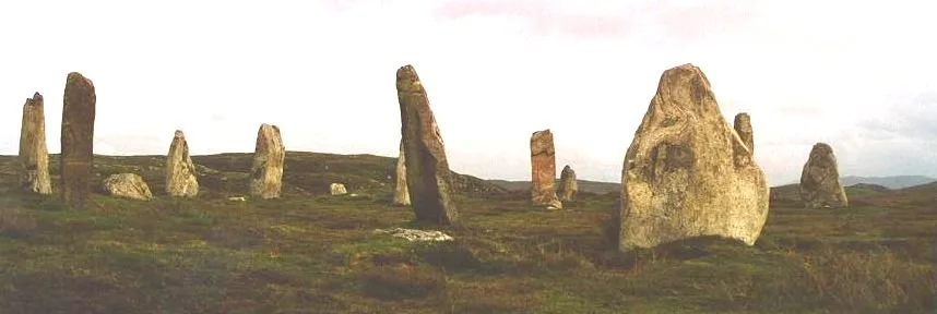
Callanish III
Callanish III — archaeological site in Outer Hebrides, Scotland, UK.
Frequently asked questions
- Where is Pettigarths Field Cairns?
- Pettigarths Field Cairns is in the Scottish Islands, United Kingdom (postcode ZE2 9AW).
- What is Pettigarths Field Cairns?
- Pettigarths Field Cairns — neolithic archaeological site in Shetland Islands, Scotland, UK.
- How do I get to Pettigarths Field Cairns?
- The nearest town is Symbister. Drivers can use postcode ZE2 9AW.
- Who owns Pettigarths Field Cairns?
- Pettigarths Field Cairns is owned by | designation1 =.
- Is Pettigarths Field Cairns free to visit?
- Yes, Pettigarths Field Cairns is free to enter.
- How do I get to Pettigarths Field Cairns?
- Drivers can navigate to postcode ZE2 9AW. It sits within the Orkney and Shetland parliamentary constituency.