
Hill forts · South Wales
Penterry
In or near St Briavels.
Penterry — a hill-fort in wales-south, United Kingdom.

Roy Parkhouse — CC BY-SA 2.0 via Wikimedia Commons licence

Plan your visit
- Typical visit
- 1 h–2 h
- Nearest railway station
- Chepstow · 5.3 km
- Free entry
- Dog-friendly
About
Penterry is a hill fort in wales-south, United Kingdom, listed in the Wikipedia register of British heritage and tourism sites. See the linked Wikipedia article for full details.
Photo gallery
Protected designations
- Site of Special Scientific Interest: River Wye SSSI
- Site of Special Scientific Interest: Severn Estuary SSSI
- Area of Outstanding Natural Beauty: Wye Valley
- Ramsar wetland: Severn Estuary
Designations sourced from Natural England open data under OGL v3.
Place summary
Penterry is a hill-fort located in South Wales. It is notable for its ancient earthworks and strategic position, reflecting the region's historical significance.
AI-generated from the structured facts on this page (operator, designation, listing, era). Not a substitute for visiting.
Background
History
The first evidence of human habitation in the parish is a hill fort at Gaer Hill. This provides a panoramic and strategically important view towards the Severn estuary, and is believed to have been an Iron Age base and lookout point for the Silures. Because of its similarities with another monument on Holyhead Mountain in Anglesey, it is thought possible that the inner earthwork is a Roman signal station lying within an earlier defensive enclosure. Although the area is now quite remote, Penterry was originally located beside the Roman road (locally called Piccadilly) between the Severn estuary in the south and the small fort at Blestium, now Monmouth. The ancient road was superseded in…
Sourced from Wikipedia under CC BY-SA 4.0.
- Coordinates
- 51.6850, -2.6972
- District
- Monmouthshire
- Parish
- St. Arvans
- Postcode
- NP16 6HH
- Parliamentary constituency
- Monmouthshire
- Nearest railway station
- Chepstow — 5.3 km
Sources
- wikipedia: Penterry (CC BY-SA 4.0)
Other places nearby

Blackcliff Wood
Vineyards · 1.0 km

Eagle's Nest
Viewpoints · 1.6 km

Cardiac
Viewpoints · 1.6 km

Tomb with Pyramid in Churchyard of Former Church of St Mary
Follies · 1.7 km
Tintern
Hill forts · 1.7 km

Tomb with Sarcophagus in Churchyard of Former Church of St Mary
Follies · 1.7 km

The Wild Hare
Hotels · 1.8 km

St Anne's House
Gardens · 1.8 km

Our Lady of Tintern
Public art & sculpture · 1.9 km

Picnic Tables
Viewpoints · 1.9 km

Brass Placque
Memorials & monuments · 1.9 km
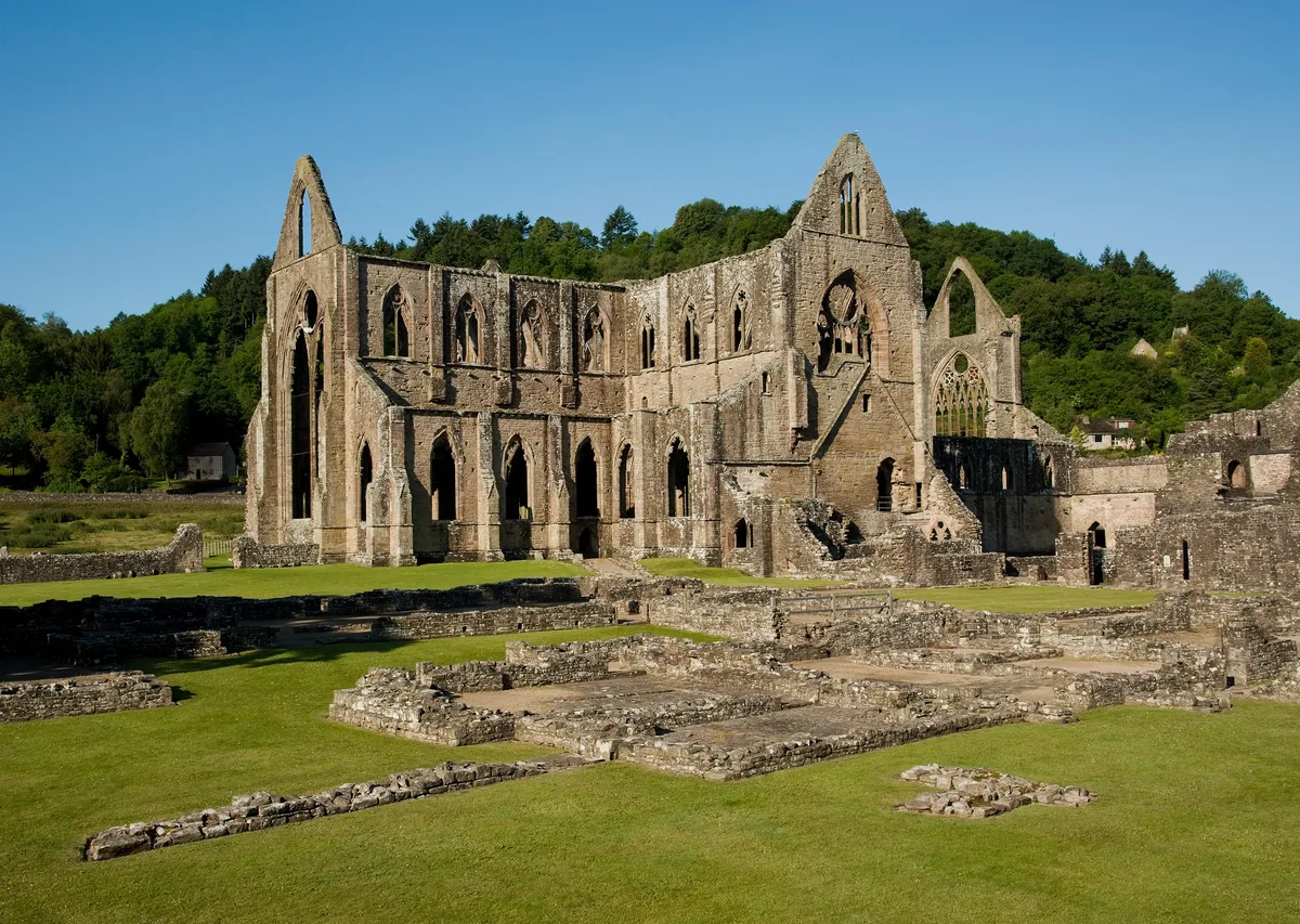
Tintern Abbey
Abbeys & priories · 1.9 km
Nearby
📷 5Vineyards · South Wales
Blackcliff Wood
Blackcliff Wood — a UK vineyard in wales south, producing English or Welsh wine from cool-climate grape varieties.
📷 3📷 3📷 3Follies · South Wales
Tomb with Pyramid in Churchyard of Former Church of St Mary
Tomb with Pyramid in Churchyard of Former Church of St Mary is a folly in the United Kingdom.
📷 5Hill forts · South Wales
Tintern
Tintern — a hill-fort in wales-south, United Kingdom.
📷 3Follies · South Wales
Tomb with Sarcophagus in Churchyard of Former Church of St Mary
Tomb with Sarcophagus in Churchyard of Former Church of St Mary is a folly in the United Kingdom.
Where to eat & stay near Penterry
Places to stay
📷 7 📷 7
📷 7B&Bs · South Wales
Tintern Old Rectory B&B
Tintern Old Rectory B&B — a bed-and-breakfast in wales south.
 📷 7
📷 7 📷 5
📷 5Campsites · South Wales
Beeches Farm Campsite
Beeches Farm Campsite — a campsite in wales south.
 📷 5
📷 5Campsites · South Wales
Botany Bay Scout campsite
Botany Bay Scout campsite — a campsite in wales south.
 📷 5
📷 5Places to eat & drink
 📷 5
📷 5Restaurants · South Wales
Mint & Mustard
Mint & Mustard — a restaurant in wales south.
 📷 7
📷 7 📷 6
📷 6 📷 5
📷 5Cafés · South West England
Swan House
Swan House — a café in england west midlands.

Restaurants · South Wales
The Whitebrook
The Whitebrook — a restaurant in wales south.
 📷 7
📷 7More places in this region
 📷 3
📷 3Hill forts · South Wales
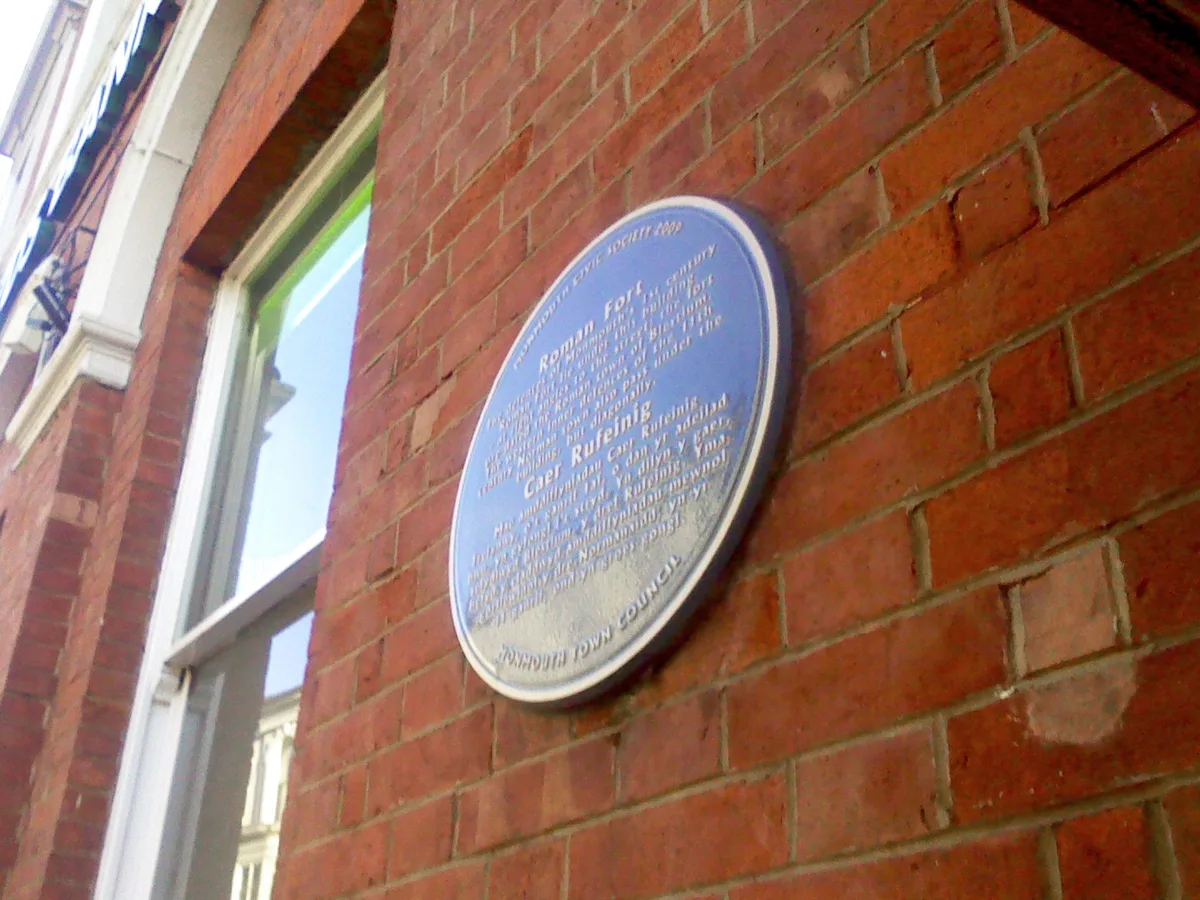
Blestium
Blestium — archaeological site in Monmouth, Wales, UK.
 📷 3
📷 3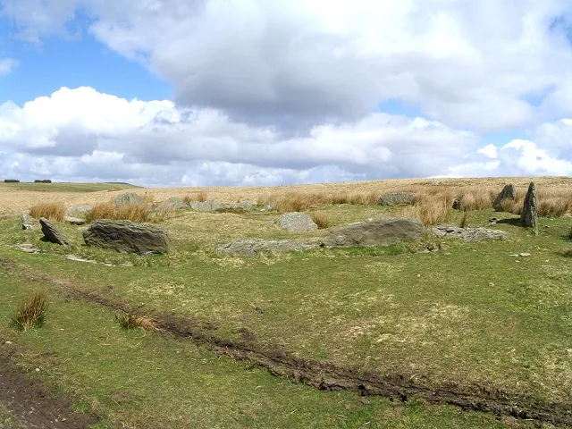 📷 3
📷 3Hill forts · South Wales
Carn Llechart
Carn Llechart — archaeological site in Neath Port Talbot County Borough, Wales, UK.
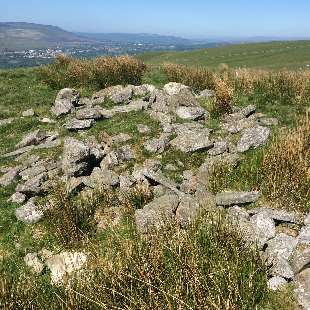 📷 3
📷 3Hill forts · South Wales
Carn Pentyle-Hir & Adjacent Round Cairn
Carn Pentyle-Hir & Adjacent Round Cairn — archaeological site in Rhondda Cynon Taf, Wales, UK.
Frequently asked questions
- Where is Penterry?
- Penterry is in South Wales, United Kingdom (postcode NP16 6HH), in the parish of St. Arvans.
- What is Penterry?
- Penterry — a hill-fort in wales-south, United Kingdom.
- How do I get to Penterry?
- The nearest railway station is Chepstow, about 5.3 km away. Drivers can use postcode NP16 6HH.
- Is Penterry a protected site?
- Yes — Penterry is part of the River Wye SSSI Site of Special Scientific Interest and the Severn Estuary SSSI Site of Special Scientific Interest.
- Is Penterry free to visit?
- Yes, Penterry is free to enter.
- How do I get to Penterry?
- The nearest railway station is Chepstow, about 5.3 km away. Drivers can navigate to postcode NP16 6HH.