
Stately homes · South West England
Penheale Manor
In or near Tremaine.
Penheale Manor — Grade I listed manor house in Egloskerry, Cornwall, England, UK.

Wikimedia Commons contributors — see linked file page for photographer and licence licence

Plan your visit
- Typical visit
- 2 h–4 h
- Nearest railway station
- Mansion House Station · 3.2 km
- Family-friendly
- Limited wheelchair access
Getting there & planning your visit
To visit Penheale Manor, the nearest railway station is Mansion House Station, located 3.2 km away. The postcode for sat-nav is PL15 8RX. Please note that wheelchair accessibility is limited.
About
Penheale Manor is a stately home in the United Kingdom. Heritage designation: Grade I listed building. Wikidata describes it as: "Grade I listed manor house in Egloskerry, Cornwall, England, UK". Coordinates: 50.6660°, -4.4517°.
Photo gallery
Heritage listing
Penheale Manor is a Grade I listed manor house and historic building one mile north of Egloskerry, Cornwall.
From the Historic England List Entry under OGL v3.
Protected designations
- Area of Outstanding Natural Beauty: Cornwall
Designations sourced from Natural England open data under OGL v3.
From the Wikipedia article
Penheale Manor is a Grade I listed manor house and historic building one mile north of Egloskerry, Cornwall.
Excerpt from Wikipedia under CC BY-SA 4.0. See the source article linked in Sources below.
Background
History
The manor was mentioned as one of 284 manors in Cornwall by the Domesday Book of 1086. The current manor house occupies a medieval site, but was built in the early 17th century. It can be dated to c. 1620-1640 and was in the ownership of the Sheccot family. There were alterations in the 18th century. The Rev. Henry Addington Simcoe, son of John Graves Simcoe, purchased the estate in 1830 and was curate of Egloskerry. He married twice and had eleven children, and wrote and published many books from his own printing press at Penheale. Norman Colville purchased Penheale in the 1920s and made significant alterations, with the help of Sir Edwin Lutyens. His additions are largely to the south,…
Sourced from Wikipedia under CC BY-SA 4.0.
- Coordinates
- 50.6660, -4.4517
- District
- Cornwall
- Parish
- Egloskerry
- Postcode
- PL15 8RX
- Parliamentary constituency
- North Cornwall
- Nearest railway station
- Mansion House Station — 3.2 km
Sources
- wikidata: Q17529381 (CC0)
- wikipedia: Penheale Manor (CC BY-SA 4.0)
- commons: Penheale Manor, Egloskerry, Cornwall.jpg (CC BY-SA 4.0)
Other places nearby

Egloskerry
Historic churches · 1.4 km
Egloskerry village War Memorial
Memorials & monuments · 1.5 km

North Petherwin
Historic churches · 2.1 km
Church of St Paternus, North Petherwin
Historic churches · 2.1 km

Tregearedown Beacon
Mountains & hills · 2.1 km

Truscott Hill
Mountains & hills · 3.1 km

Tremaine
Towns & cities · 3.3 km

Hidden Valley Discovery Park
Parks · 3.3 km
Porterswick Junction Light Railway
Miniature railways · 3.3 km

Tresmeer
Historic churches · 3.5 km
Wayside cross in Tresmeer churchyard
Historic churches · 3.5 km

Church of St Winwalo
Historic churches · 3.5 km
Nearby
📷 5Historic churches · South West England
Egloskerry
Egloskerry (Cornish: Egloskeri) is a village and civil parish in east Cornwall, England, United Kingdom. It is situated approximately five miles (8.0 km) northwest of Launceston. Egloskerry parish con
📷 3Memorials & monuments · South West England
Egloskerry village War Memorial
Egloskerry village War Memorial — Grade II listed building-listed memorial in england-south-west, United Kingdom.
📷 5Historic churches · South West England
North Petherwin
North Petherwin — a church in england-south-west, United Kingdom.
📷 3Historic churches · South West England
Church of St Paternus, North Petherwin
Church of St Paternus, North Petherwin — Grade I listed building-listed church in england-south-west, United Kingdom.
📷 5Mountains & hills · South West England
Tregearedown Beacon
Tregearedown Beacon — a hill or mountain in england south west.
📷 5Mountains & hills · South West England
Truscott Hill
Truscott Hill — a hill or mountain in england south west.
Where to eat & stay near Penheale Manor
Places to stay
 📷 5
📷 5 📷 5
📷 5Campsites · South West England
Chelsfield Farm Holiday Park
Chelsfield Farm Holiday Park — a campsite in england south west.
 📷 5
📷 5Hotels · South West England
Eagle House Hotel
Eagle House Hotel — a hotel in england south west.
 📷 7
📷 7 📷 5
📷 5Campsites · South West England
Rising Sun Inn Campsite
Rising Sun Inn Campsite — a campsite in england south west.
 📷 5
📷 5Places to eat & drink
 📷 7
📷 7Historic pubs · South West England
The Bell Inn And Attached Wall And Coach House
The Bell Inn And Attached Wall And Coach House in England South West, United Kingdom.
 📷 5
📷 5Historic pubs · South West England
Bakers Arms Public House
Bakers Arms Public House in England South West, United Kingdom.
 📷 7
📷 7Restaurants · South West England
Napoleon Inn
Napoleon Inn — a restaurant in england south west.
 📷 5
📷 5Historic pubs · South West England
The Blue Lion Public House
The Blue Lion Public House in England South West, United Kingdom.
 📷 3
📷 3Historic pubs · South West England
The Royal Inn
The Royal Inn — Historic pub — listed building or notable heritage status.
 📷 7
📷 7Historic pubs · South West England
Sportsmans Arms
Sportsmans Arms in England South West, United Kingdom.
More places in this region
 Flagship📷 9
Stately homes · South West England
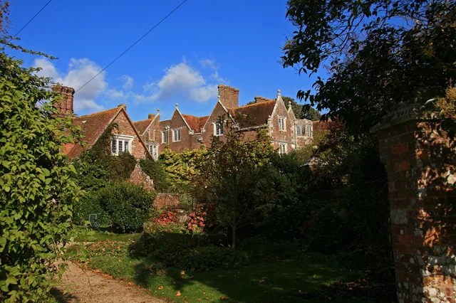
Anderson Manor
Anderson Manor — Grade I listed manor house in Anderson, Dorset, England, UK.
 Flagship📷 10
Stately homes · South West England
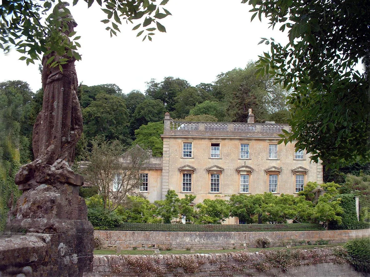
Iford Manor
Iford Manor — manor house in Somerset/Wiltshire, UK.
 Flagship📷 10
Stately homes · South West England
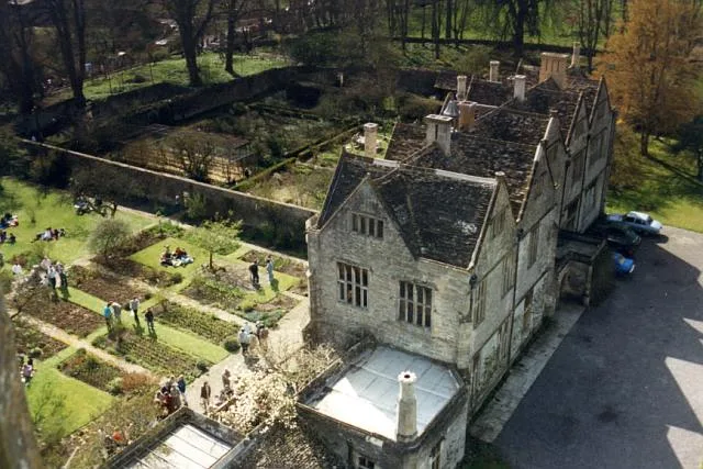
Mells Manor
Mells Manor — Grade I listed house in Mells, Somerset, England, UK.
 Flagship📷 5
Stately homes · South West England
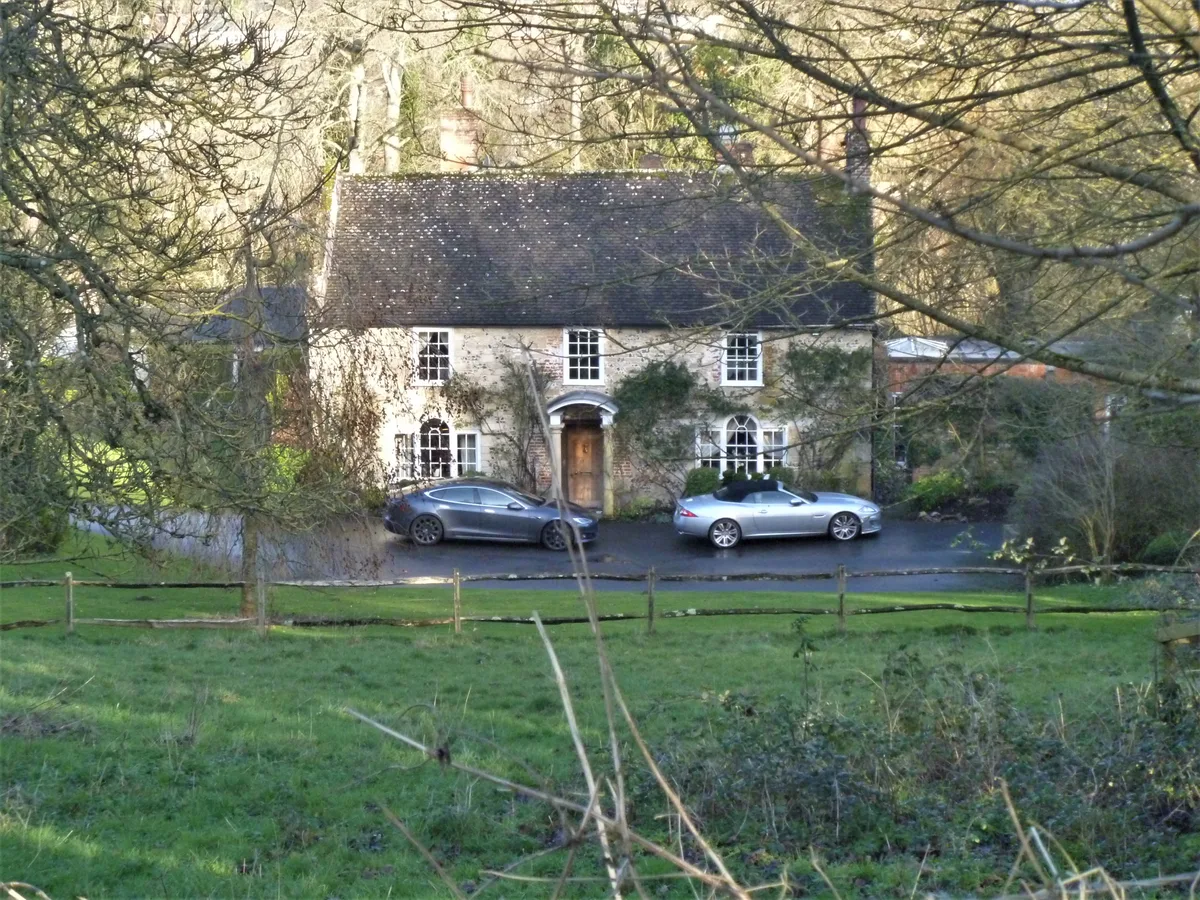
Addestone Manor
Addestone Manor — manor house in Shrewton, Wiltshire, England, UK.
Frequently asked questions
- Where is Penheale Manor?
- Penheale Manor is in South-West England, United Kingdom (postcode PL15 8RX), in the parish of Egloskerry.
- What is Penheale Manor?
- Penheale Manor — Grade I listed manor house in Egloskerry, Cornwall, England, UK.
- How do I get to Penheale Manor?
- The nearest railway station is Mansion House Station, about 3.2 km away. Drivers can use postcode PL15 8RX.
- Who owns Penheale Manor?
- Penheale Manor is owned by | designation1 = Grade I.
- Is Penheale Manor a listed building?
- Penheale Manor is officially recognised as Grade I listed building listed.
- Is Penheale Manor a protected site?
- Yes — Penheale Manor is part of the Cornwall National Landscape (AONB).
- How do I get to Penheale Manor?
- The nearest railway station is Mansion House Station, about 3.2 km away. Drivers can navigate to postcode PL15 8RX.