
Historic houses · South West England
Pencarrow
In or near Helland.
Pencarrow is a Grade II*-listed country house in the civil parish of Egloshayle, in north Cornwall, England. It is situated three miles (5 km) east-southeast of Wadebridge and three miles (5 km) north

Lewis Clarke — CC BY-SA 2.0 via Wikimedia Commons licence

Plan your visit
- Typical visit
- 1 h–2 h
- Nearest railway station
- Boscarne Junction · 3.5 km
- Family-friendly
- Limited wheelchair access
About
Pencarrow is a Grade II*-listed country house in the civil parish of Egloshayle, in north Cornwall, England. It is situated three miles (5 km) east-southeast of Wadebridge and three miles (5 km) north-northwest of Bodmin.
Photo gallery
Protected designations
- Site of Special Scientific Interest: River Camel Valley and Tributaries SSSI
- Area of Outstanding Natural Beauty: Cornwall
Designations sourced from Natural England open data under OGL v3.
From the Wikipedia article
Pencarrow is a Grade II*-listed country house in the civil parish of Egloshayle, in north Cornwall, England. It is situated three miles (5 km) east-southeast of Wadebridge and three miles (5 km) north-northwest of Bodmin.
Excerpt from Wikipedia under CC BY-SA 4.0. See the source article linked in Sources below.
Background
History
Sir John Molesworth, the fourth Molesworth baronet, started the construction of Pencarrow in the 1760s, extending a large older house on the site, and it was completed after his death in 1766, by his son, the fifth baronet, also Sir John Molesworth. The architect was probably Robert Allanson. The initial remodelling of the house may have begun around 1730, as the Palladian style of the house was somewhat out of fashion by the 1760s and 1770s when much of the work was done. Another clue is that the symmetry of the south and east façades is not matched by any symmetry in the interior plan, possibly because the layout of the building's rooms inhibited the axial symmetry associated with the…
Description
The oldest parts of the house probably date from the late 17th or early 18th century, although there was earlier building on the site. The south and east façades are stuccoed stone rubble and brick, while the north side is stone rubble. The west side is built of dressed slate stone with a moulded plinth. The roofs are slate with hipped ends on the south and east fronts. of the County of Cornwall; the one at bottom left is the Pencarrow cross head]]
Sourced from Wikipedia under CC BY-SA 4.0.
- Coordinates
- 50.5053, -4.7658
- District
- Cornwall
- Parish
- Egloshayle
- Postcode
- PL30 3AG
- Parliamentary constituency
- North Cornwall
- Nearest railway station
- Boscarne Junction — 3.5 km
Sources
- wikipedia: Pencarrow (CC BY-SA 4.0)
Other places nearby

Pencarrow House
Historic houses · 0.1 km

Pencarrow Rounds
Vineyards · 0.9 km
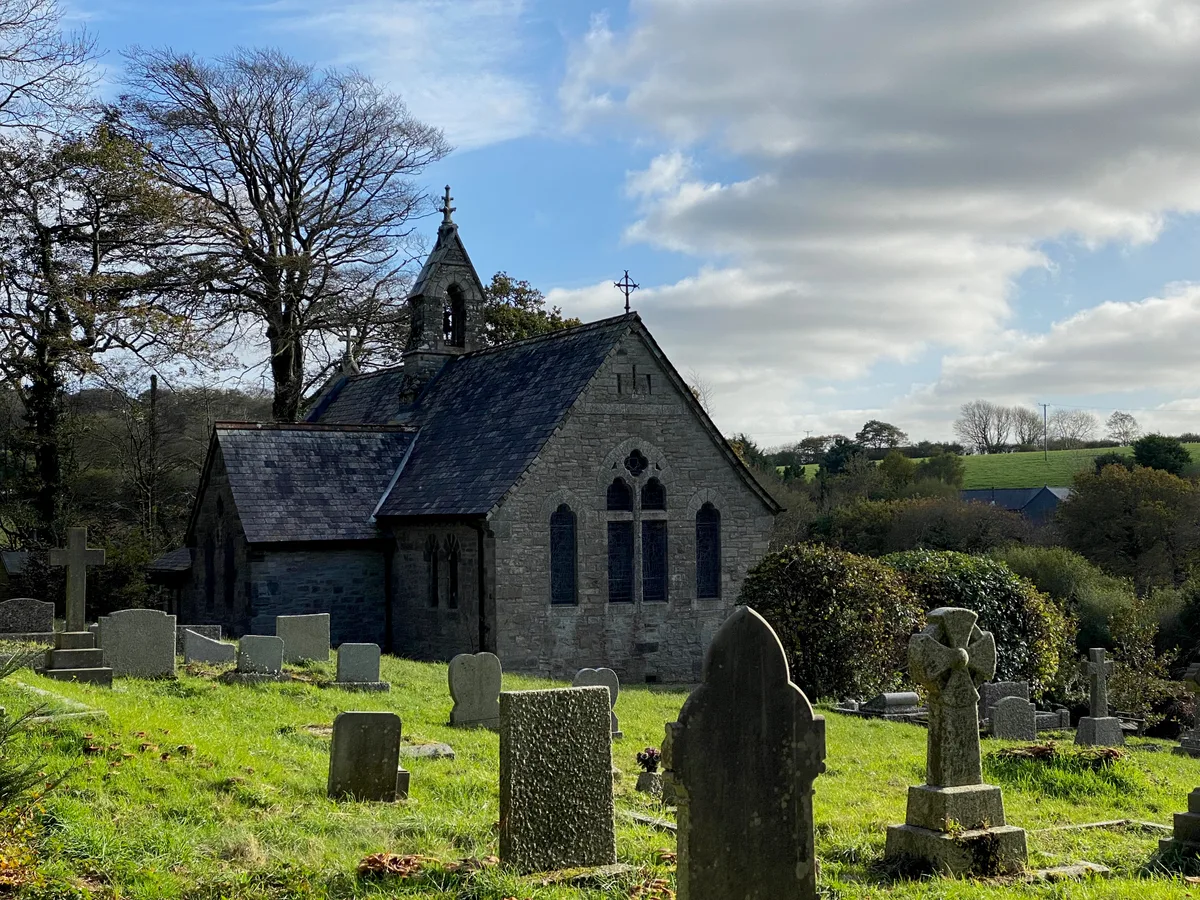
St Conan's Church, Egloshayle
Historic churches · 1.0 km
Pencarrow Hill
Mountains & hills · 1.2 km

Costislost
Farms (open to visitors) · 1.4 km

Penhargard Castle
Castles · 2.1 km

Penhargard Castle
Vineyards · 2.1 km
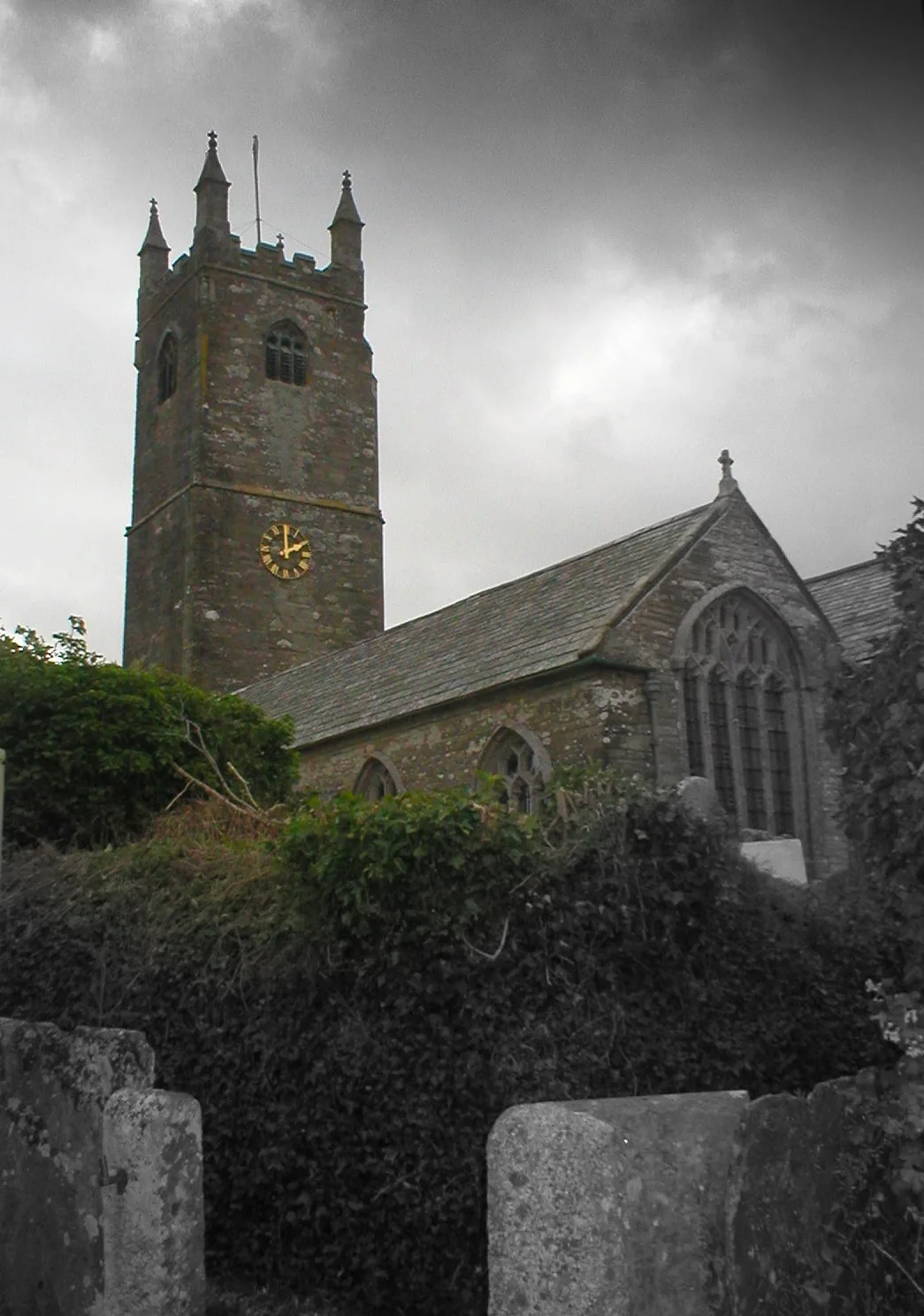
St Mabyn Parish Church
Historic churches · 2.3 km

Saint Mabyn
Villages · 2.3 km

Tregainlands Touring Park
Caravan parks · 2.3 km

St Mabyn
Historic churches · 2.3 km

Tredethy House
Hotels · 2.3 km
Nearby
📷 3Historic houses · South West England
Pencarrow House
Pencarrow House — a other in england-south-west, United Kingdom.
📷 5Vineyards · South West England
Pencarrow Rounds
Pencarrow Rounds — a UK vineyard in england south west, producing English or Welsh wine from cool-climate grape varieties.
📷 3Historic churches · South West England
St Conan's Church, Egloshayle
St Conan's Church, Egloshayle — church in Cornwall, England, UK.
📷 5Mountains & hills · South West England
Pencarrow Hill
Pencarrow Hill — a hill or mountain in england south west.
📷 3Farms (open to visitors) · South West England
Costislost
Costislost — a Grade II*-listed farm in england-south-west, United Kingdom.
📷 3Castles · South West England
Penhargard Castle
Penhargard Castle — a castle in england-south-west, United Kingdom.
Where to eat & stay near Pencarrow
Places to stay
📷 5Caravan parks · South West England
Tregainlands Touring Park
Tregainlands Touring Park — a caravan park in england south west.
📷 7Hotels · South West England
Tredethy House
Tredethy House — a hotel in england south west.
 📷 5
📷 5Caravan parks · South West England
St. Mabyn Holiday Park
St. Mabyn Holiday Park — a caravan park in england south west.
 📷 5
📷 5Caravan parks · South West England
Lanarth Caravan Park
Lanarth Caravan Park — a caravan park in england south west.
 📷 5
📷 5B&Bs · South West England
The White Hart Inn
The White Hart Inn — a bed-and-breakfast in england south west.
 📷 5
📷 5Caravan parks · South West England
Little Bodieve Caravan Park
Little Bodieve Caravan Park — a caravan park in england south west.
Places to eat & drink
 📷 7
📷 7Historic pubs · South West England
Methodist Chapel
Methodist Chapel in England South West, United Kingdom.
 📷 5
📷 5 📷 7
📷 7Restaurants · South West England
Slipway Hotel
Slipway Hotel — a restaurant in england south west.
 📷 7
📷 7Restaurants · South West England
Outlaws Fish Kitchen
Outlaws Fish Kitchen — a restaurant in england south west.
 📷 7
📷 7Restaurants · South West England
Nathan Outlaw
Nathan Outlaw — a restaurant in england south west.
 📷 6
📷 6Historic pubs · South West England
The Shipwrights
The Shipwrights in England South West, United Kingdom.
More historic houses in this region
 📷 5
📷 5Historic houses · South West England
1 South Parade
1 South Parade — Grade I listed house in Bath, Somerset, England, UK.
_(geograph_6440799).jpg?width=1200) 📷 5
📷 5Historic houses · South West England
1-4 Lansdowne Grove, Morris Lane
1-4 Lansdowne Grove, Morris Lane — houses in Devizes, Wiltshire, England, UK.
 📷 5
📷 5Historic houses · South West England
2 North Parade
2 North Parade — building in Bath, UK; part of Abbey Hotel.
 📷 5
📷 5Historic houses · South West England
2, South Place, Lacock Road
2, South Place, Lacock Road — house in Corsham, Wiltshire, England, UK.
Frequently asked questions
- Where is Pencarrow?
- Pencarrow is in South-West England, United Kingdom (postcode PL30 3AG), in the parish of Egloshayle.
- What is Pencarrow?
- Pencarrow is a Grade II*-listed country house in the civil parish of Egloshayle, in north Cornwall, England. It is situated three miles (5 km) east-southeast of Wadebridge and three miles (5 km) north
- How do I get to Pencarrow?
- The nearest railway station is Boscarne Junction, about 3.5 km away. Drivers can use postcode PL30 3AG.
- Who owns Pencarrow?
- Pencarrow is owned by | designation1 = Grade II*.
- Is Pencarrow a protected site?
- Yes — Pencarrow is part of the River Camel Valley and Tributaries SSSI Site of Special Scientific Interest and the Cornwall National Landscape (AONB).
- How do I get to Pencarrow?
- The nearest railway station is Boscarne Junction, about 3.5 km away. Drivers can navigate to postcode PL30 3AG.