Historic churches · Mid Wales
Pencader
In or near Llandysul.
Pencader in Wales Mid, United Kingdom.

Jaggery — CC BY-SA 2.0 via Wikimedia Commons licence
Plan your visit
- Typical visit
- 30 min–1 h
- Nearest railway station
- Henllan High Level · 9.8 km
- Free entry
Getting there & planning your visit
To visit Pencader, the nearest railway station is Henllan High Level, located 9.8 km away. The postcode for your sat-nav is SA39 9ER, and entry to the church is free.
About
Pencader is a place of interest in Wales Mid, United Kingdom — drawn from open-data sources for visitor reference. See the linked Wikipedia article for the full description.
Photo gallery
See it from the streetimagery from 2026
Imagery © Mapillary contributors, CC BY-SA 4.0
Official information
Pencader and District encompasses several villages in Carmarthenshire, West Wales, characterized by its agricultural economy and rich history. The area features diverse landscapes including farmland, hills, and rivers, making it a picturesque location for visitors.
From the Wikipedia article
Pencader () is a small village in Carmarthenshire, Wales, in the community of Llanfihangel-ar-Arth. It is located around 3 miles (5 km) south-east of Llandysul and 6.5 miles (10 km) south-west of Llanybydder, in the valley of the Gwen brook, shortly before the confluence with the River Talog, to form the River Tyweli (a tributary of the Teifi). It is a village of little more than 500 houses, two shops, two pubs and an Anglican church (St Mary's). For many years, it was one of the main stops on the Carmarthen - Aberystwyth rail route, and was the junction for the service to Newcastle Emlyn; the Pencader Tunnel enabled services to reach Carmarthen via Llanpumsaint. The decline of the railways saw the Newcastle Emlyn branch line closed in 1952 and the main line closed to passengers in 1965.
Excerpt from Wikipedia under CC BY-SA 4.0. See the source article linked in Sources below.
Background
History
A battle was fought here between Gruffydd ap Llywelyn and Hywel ab Edwin in 1041; Gruffydd was the victor, and went on to become the first and last King of Wales. Pencader is the site of an old castle, which was probably erected by Gilbert de Clare, 1st Earl of Pembroke in 1145.
Sourced from Wikipedia under CC BY-SA 4.0.
- Coordinates
- 52.0017, -4.2656
- District
- Carmarthenshire
- Parish
- Llanfihangel-ar-Arth
- Postcode
- SA39 9ER
- Parliamentary constituency
- Caerfyrddin
- Nearest railway station
- Henllan High Level — 9.8 km
- Official site
- www.pencader.org.uk
Sources
- wikidata: Q7162285 (CC0)
- wikipedia: Pencader, Carmarthenshire (CC BY-SA 4.0)
Other places nearby

Pencader War Memorial
Memorials & monuments · 0.1 km

Castell Pencader
Literary houses · 0.1 km

Pencader railway station
Heritage railway stations · 0.1 km
Castell, Pencader
Vineyards · 0.4 km

Pencader Junction railway station
Heritage railway stations · 0.9 km

Crûg
Archaeological sites · 1.5 km

Gwyddgrug
Other places · 1.9 km

Llanfihangel-ar-Arth
Other places · 2.0 km

Castell Du
Literary houses · 2.2 km

Dolgran
Other places · 2.3 km

New Inn
Chapels · 2.7 km

Parc-Castell, Llangeler
Vineyards · 3.0 km
Nearby
📷 5Memorials & monuments · Mid Wales
Pencader War Memorial
Pencader War Memorial — Grade II listed building-listed memorial in wales-mid, United Kingdom.
📷 5Literary houses · Mid Wales
Castell Pencader
Castell Pencader — a literary house museum in wales mid.
📷 3Heritage railway stations · Mid Wales
Pencader railway station
Pencader railway station in Wales Mid, United Kingdom.
📷 5Vineyards · Mid Wales
Castell, Pencader
Castell, Pencader — a UK vineyard in wales mid, producing English or Welsh wine from cool-climate grape varieties.
📷 3Heritage railway stations · Mid Wales
Pencader Junction railway station
Pencader Junction railway station in Wales Mid, United Kingdom.
📷 3Where to eat & stay near Pencader
Places to stay
 📷 5
📷 5 📷 5
📷 5 📷 5
📷 5 📷 3
📷 3Campsites · Mid Wales
Afon Teifi Caravan and Camping Park
Afon Teifi Caravan and Camping Park — a campsite in wales mid.
 📷 5
📷 5Caravan parks · Mid Wales
Moelfryn Caravan and Camping Park
Moelfryn Caravan and Camping Park — a caravan park in wales mid.
 📷 5
📷 5Campsites · South Wales
Woodland Rise camping and caravan site
Woodland Rise camping and caravan site — a campsite in wales south.
Places to eat & drink
 📷 3
📷 3Historic pubs · Mid Wales
The Bunch of Grapes
The Bunch of Grapes — Historic pub — listed building or notable heritage status.
 📷 5
📷 5 📷 3
📷 3 📷 3
📷 3 📷 3
📷 3 📷 3
📷 3Historic pubs · Mid Wales
The Three Horseshoes
The Three Horseshoes — Historic pub — listed building or notable heritage status.
More places in this region
 📷 3
📷 3Historic churches · Mid Wales
Church of St Peter
Church of St Peter — Grade I listed church, Shropshire, England, UK.
 📷 4
📷 4Historic churches · Mid Wales
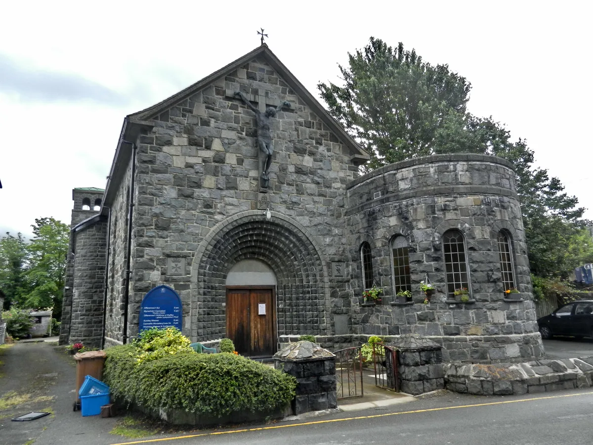
Our Lady of Seven Sorrows Church
Our Lady of Seven Sorrows Church — church in Dolgellau, Wales.
 📷 4
📷 4Historic churches · Mid Wales
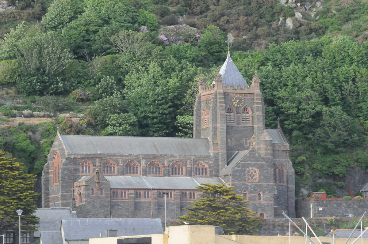
St David's Church
St David's Church — church in Barmouth, Gwynedd, Wales.
 📷 5
📷 5Historic churches · Mid Wales
St John's Church
St John's Church — church in Barmouth, north Wales.
Frequently asked questions
- Where is Pencader?
- Pencader is in Mid Wales, United Kingdom (postcode SA39 9ER), in the parish of Llanfihangel-ar-Arth.
- What is Pencader?
- Pencader in Wales Mid, United Kingdom.
- How do I get to Pencader?
- The nearest railway station is Henllan High Level, about 9.8 km away. Drivers can use postcode SA39 9ER.
- Is Pencader free to visit?
- Yes, Pencader is free to enter.
- How do I get to Pencader?
- Drivers can navigate to postcode SA39 9ER. It sits within the Caerfyrddin parliamentary constituency.