
Castles · South Wales
Pen y Clawdd Castle
In or near Longtown.
Pen y Clawdd Castle — archaeological site in Crucorney, Monmouthshire, Wales, UK.

Jeremy Bolwell — CC BY-SA 2.0 via Wikimedia Commons licence

Plan your visit
- Typical visit
- 1.5 h–3 h
- Nearest railway station
- Abergavenny · 6.4 km
- Family-friendly
- Limited wheelchair access
Getting there & planning your visit
To visit Pen y Clawdd Castle, the nearest railway station is Abergavenny, located 6.4 km away. The postcode for sat-nav is NP7 7LJ. Please note that accessibility is limited for wheelchair users.
About
Pen y Clawdd Castle is a castle in the United Kingdom — fortified architecture from the medieval, Tudor, or Victorian-revival period. Heritage designation: scheduled monument. Wikidata describes it as: "archaeological site in Crucorney, Monmouthshire, Wales, UK". Coordinates: 51.8753°, -3.0039°.
Photo gallery
Protected designations
- Site of Special Scientific Interest: River Wye SSSI
Designations sourced from Natural England open data under OGL v3.
From the Wikipedia article
Pen y Clawdd Castle is a ditched mound with a double moat, roughly circular in shape, with a diameter of approximately 28m to 30m and about 2.4m high. The castle is in Llanvihangel Crucorney, about five miles to the north of Abergavenny, Monmouthshire, in south east Wales and lies between the Usk and Monnow rivers. The mound was designated a scheduled monument in 1950 and described as a defensive medieval motte.
Excerpt from Wikipedia under CC BY-SA 4.0. See the source article linked in Sources below.
Background
History
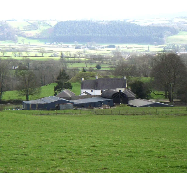
Very little is known of the exact origins of the castle, but it may have been built by Roger de Hastings during the 11th century, as one of a number of forts created after the Revolt of the Earls in 1075. The adjacent Pen-y-Clawdd Court was probably built early in the 16th century and extended and remodelled early in the 17th century. The farm buildings were added later; cowshed (early 18th century), barn (mid 18th century), and stable and range (early 19th century).
Sourced from Wikipedia under CC BY-SA 4.0.
- Coordinates
- 51.8753, -3.0039
- District
- Monmouthshire
- Parish
- Crucorney
- Postcode
- NP7 7LJ
- Parliamentary constituency
- Monmouthshire
- Nearest railway station
- Abergavenny — 6.4 km
- Official site
- www.castlewales.com
Sources
- wikidata: Q7162124 (CC0)
- wikipedia: Pen y Clawdd Castle (CC BY-SA 4.0)
Other places nearby

Pen-y-clawdd Court
Gardens · 0.0 km
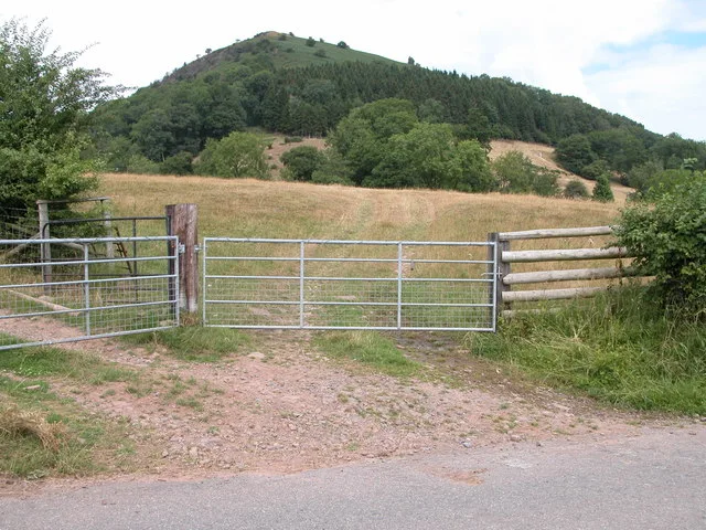
Bryn Arw
Mountains & hills · 1.0 km

Pen-y-dre Caravan & Camp Site
Campsites · 1.4 km

Llanvihangel Crucorney
Hill forts · 1.6 km
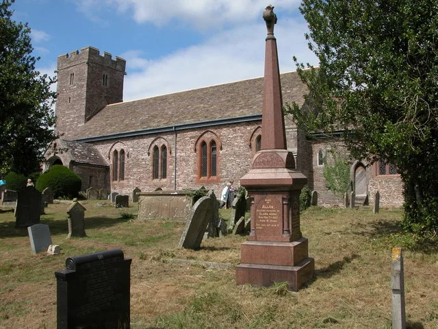
St. Michael and All Angels, Llanvihangel Crucorney
Historic churches · 1.6 km

Millbrook
Historic houses · 1.6 km

Pen-y-bont Bridge
Historic bridges · 1.7 km

Skirrid Mountain Inn
Historic pubs · 1.7 km

Great Llwygy
Mountains & hills · 1.8 km

Dirt Farm Cycle Centre
Farms (open to visitors) · 1.8 km

Pont Rhys Powell
Historic bridges · 2.0 km

Pen Llwygy
Mountains & hills · 2.0 km
Nearby
📷 4Gardens · South Wales
Pen-y-clawdd Court
Pen-y-clawdd Court — a garden in wales-south, United Kingdom.
📷 3📷 5Campsites · South Wales
Pen-y-dre Caravan & Camp Site
Pen-y-dre Caravan & Camp Site — a campsite in wales south.
📷 5Hill forts · South Wales
Llanvihangel Crucorney
Llanvihangel Crucorney (Welsh: Llanfihangel Crucornau) is a small village in the community (parish) of Crucorney, Monmouthshire, Wales. It is located 5 miles (8.0 km) north of Abergavenny and 18 miles
📷 3Historic churches · South Wales
St. Michael and All Angels, Llanvihangel Crucorney
St. Michael and All Angels, Llanvihangel Crucorney — grade II listed building in Crucorney, in the centre of Llanvihangel Crucorney village.
📷 3Historic houses · South Wales
Millbrook
Millbrook — house in Llanvihangel Crucorney, Monmouthshire, Wales.
Where to eat & stay near Pen y Clawdd Castle
Places to stay
📷 5Campsites · South Wales
Pen-y-dre Caravan & Camp Site
Pen-y-dre Caravan & Camp Site — a campsite in wales south.
 📷 5
📷 5 📷 5
📷 5 📷 5
📷 5Caravan parks · South Wales
Wernddu Caravan Park
Wernddu Caravan Park — a caravan park in wales south.
 📷 5
📷 5Caravan parks · South Wales
Blossom Touring Caravan Park
Blossom Touring Caravan Park — a caravan park in wales south.
 📷 5
📷 5Places to eat & drink
📷 5Historic pubs · South Wales
Skirrid Mountain Inn
Skirrid Mountain Inn — Historic pub — listed building or notable heritage status.
 📷 5
📷 5Restaurants · South Wales
The Walnut Tree
The Walnut Tree — a restaurant in wales south.
 📷 5
📷 5Historic pubs · South Wales
Cornewall Arms
Cornewall Arms in Wales South, United Kingdom.
 📷 7
📷 7 📷 4
📷 4 📷 7
📷 7More castles in this region
 📷 5
📷 5Castles · South Wales
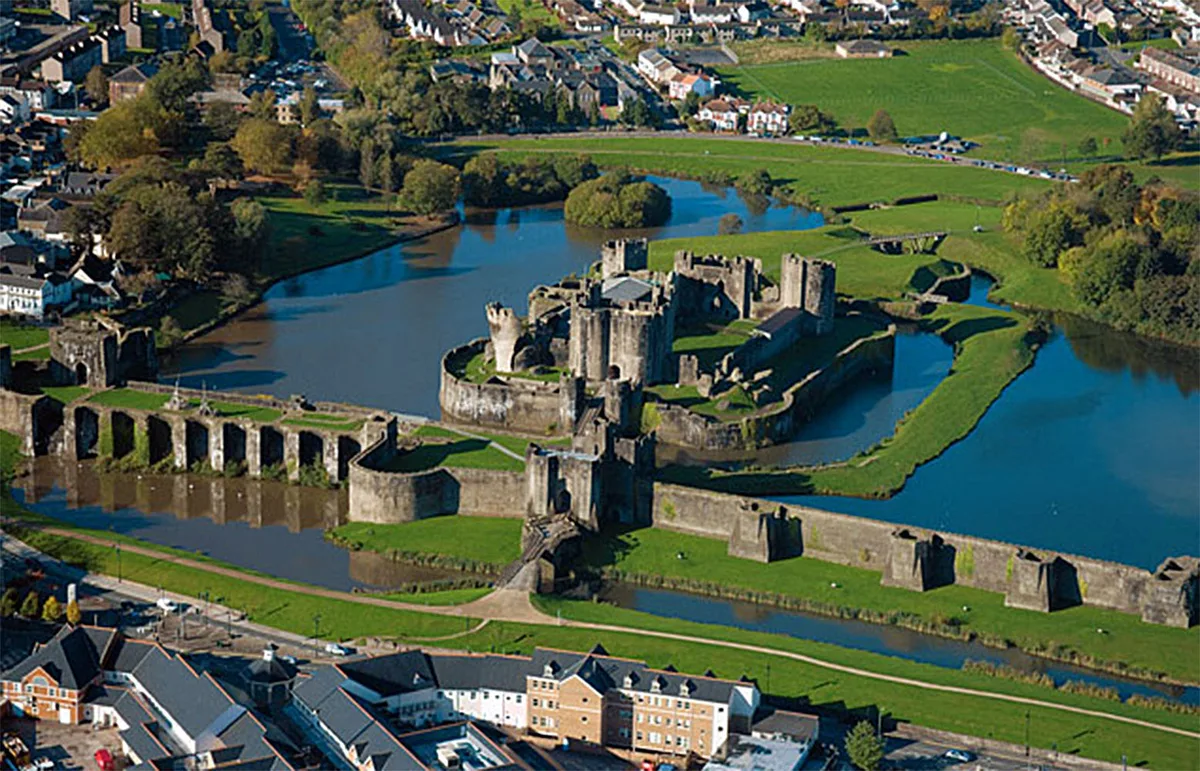
Caerphilly Castle
Caerphilly Castle — castle in Caerphilly, Wales.
 📷 3
📷 3Castles · South Wales
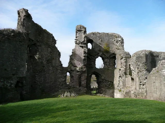
Abergavenny Castle
Abergavenny Castle — Grade I listed building in Abergavenny. Ruined castle in the market town of Abergavenny, Monmouthshire, Wales.
 📷 3
📷 3 📷 3
📷 3Frequently asked questions
- Where is Pen y Clawdd Castle?
- Pen y Clawdd Castle is in South Wales, United Kingdom (postcode NP7 7LJ), in the parish of Crucorney.
- What is Pen y Clawdd Castle?
- Pen y Clawdd Castle — archaeological site in Crucorney, Monmouthshire, Wales, UK.
- How do I get to Pen y Clawdd Castle?
- The nearest railway station is Abergavenny, about 6.4 km away. The nearest town is Longtown. Drivers can use postcode NP7 7LJ.
- Is Pen y Clawdd Castle a listed building?
- Pen y Clawdd Castle is officially recognised as scheduled monument listed.
- Is Pen y Clawdd Castle a protected site?
- Yes — Pen y Clawdd Castle is part of the River Wye SSSI Site of Special Scientific Interest.
- Does Pen y Clawdd Castle charge admission?
- Pen y Clawdd Castle typically charges admission. Check the official site for current ticket prices and opening hours.
- How do I get to Pen y Clawdd Castle?
- The nearest railway station is Abergavenny, about 6.4 km away. Drivers can navigate to postcode NP7 7LJ.