
Cathedrals · West Midlands
Pembridge
In or near Weobley.
Pembridge in Wales Mid, United Kingdom.

Bill Nicholls — CC BY-SA 2.0 via Wikimedia Commons licence

Plan your visit
- Typical visit
- 1 h–2 h
- Best time of year
- Year-round
- Nearest railway station
- Titley Junction · 6.3 km
- Free entry
- Family-friendly
- Limited wheelchair access
Getting there & planning your visit
To visit Pembridge, the nearest railway station is Titley Junction, located 6.3 km away. The postcode for navigation is HR6 9DS. Entry is free, but wheelchair accessibility is limited.
About
Pembridge is a place of interest in Wales Mid, United Kingdom — drawn from open-data sources for visitor reference. See the linked Wikipedia article for the full description.
Photo gallery
See it from the streetimagery from 2024
Imagery © Mapillary contributors, CC BY-SA 4.0
Summary from the official site
Pembridge is a parish council area focused on local governance and community services. Visitors can engage with local planning, community safety, and various public services, while also enjoying the village's historical architecture and community events.
Read more on the official property page.
Protected designations
- Site of Special Scientific Interest: River Lugg SSSI
- Site of Special Scientific Interest: River Teme SSSI
Designations sourced from Natural England open data under OGL v3.
From the Wikipedia article
Pembridge is a village and civil parish in the Arrow valley in Herefordshire, England. The village is on the A44 road about 6 miles (10 km) east of Kington and 7 miles (11 km) west of Leominster. The civil parish includes the hamlets of Bearwood, Lower Bearwood, Lower Broxwood, Marston, Moorcot and Weston. The 2011 Census recorded the parish population as 1,056. Pembridge is the major part of the electoral ward of Pembridge and Lyonshall with Titley. The 2011 Census recorded the ward's population as 3,124.
Excerpt from Wikipedia under CC BY-SA 4.0. See the source article linked in Sources below.
Background
History
The toponym "Pembridge" may be derived from the Welsh , anglicised to its current spelling. A more likely origin of the name Pembridge is that it is derived from the Old English Penebrug(g)e, which probably meant "Pena's bridge". In 1239, Pembridge was granted a royal charter to hold a market and two fairs: the Cowslip Fair held each May and the Woodcock Fair held each November. In the Middle Ages they were important events for agricultural labourers across the county to seek work from landowners. The village is noted for its historic timber-framed buildings. It is promoted to visitors as "the heart of the Black and White Village Trail". In West Street, Swan House and School View are two…
Sourced from Wikipedia under CC BY-SA 4.0.
- Coordinates
- 52.2180, -2.8930
- District
- Herefordshire, County of
- Parish
- Pembridge
- Postcode
- HR6 9DS
- Parliamentary constituency
- North Herefordshire
- Nearest railway station
- Titley Junction — 6.3 km
- Official site
- www.pembridgeparishcouncil.gov.uk
Sources
Other places nearby

Church of St Mary Belfry
Castles · 0.1 km

Church of St Mary
Historic churches · 0.1 km

Court House Farm Moat
Castles · 0.1 km

Pembridge War Memorial
Memorials & monuments · 0.1 km

Townsend Touring Park
Campsites · 0.3 km

Bridge Over River Arrow
Historic bridges · 0.4 km

Pembridge railway station
Heritage railway stations · 1.0 km

Dunkertons Cider Mill
Natural landmarks · 1.6 km

Westonbury Mill Water Gardens
Gardens · 2.4 km

Luntley Court Dovecote
Historic houses · 2.4 km

Luntley Court
Historic houses · 2.4 km

Westonbury Mill Gardens
Gardens · 2.6 km
Nearby
📷 5📷 5Historic churches · West Midlands
Church of St Mary
Church of St Mary — church in Pembridge, Herefordshire, England, UK.
📷 5📷 3Memorials & monuments · West Midlands
Pembridge War Memorial
Pembridge War Memorial — Grade II listed building-listed memorial in wales-mid, United Kingdom.
📷 5📷 3Historic bridges · West Midlands
Bridge Over River Arrow
Bridge Over River Arrow — Grade II listed building-listed bridge in wales-mid, United Kingdom.
Where to eat & stay near Pembridge
Places to stay
📷 5 📷 5
📷 5Caravan parks · West Midlands
Arrow Bank Holiday Park
Arrow Bank Holiday Park — a caravan park in wales mid.
 📷 5
📷 5Caravan parks · West Midlands
Pearl Lake Leisure Park
Pearl Lake Leisure Park — a caravan park in wales mid.
 📷 5
📷 5 📷 5
📷 5 📷 5
📷 5Places to eat & drink
 📷 7
📷 7 📷 7
📷 7Historic pubs · Mid Wales
The Old Weymouth Arms And The Wharf
The Old Weymouth Arms And The Wharf in Wales Mid, United Kingdom.
 📷 5
📷 5 Flagship📷 6
 📷 4
📷 4 📷 5
📷 5Historic pubs · Mid Wales
32 and 33, Church Street
32 and 33, Church Street in Wales Mid, United Kingdom.
More cathedrals in this region
 ★ Iconic📷 3
Cathedrals · West Midlands
Merevale Abbey, a Cistercian monastery, associated water control features and industrial remains
Merevale Abbey, a Cistercian monastery, associated water control features and industrial remains is a cathedral in the United Kingdom.
 ★ Iconic📷 4
Cathedrals · West Midlands
Birmingham Orthodox Cathedral
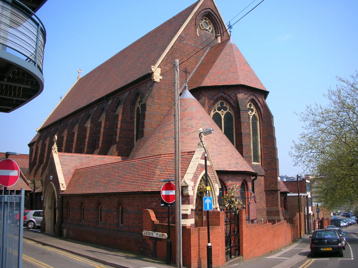
Birmingham Orthodox Cathedral — Greek Orthodox cathedral in Birmingham, West Midlands, England, UK.
 📷 3
📷 3Cathedrals · West Midlands
Dragon Tree
Dragon Tree is a place of interest in the United Kingdom.
 📷 5
📷 5Cathedrals · West Midlands
Holy Trinity Church, Coventry
Holy Trinity Church, Coventry — Grade I listed church in Coventry, West Midlands, England, UK.
Frequently asked questions
- Where is Pembridge?
- Pembridge is in Mid Wales, United Kingdom (postcode HR6 9DS), in the parish of Pembridge.
- What is Pembridge?
- Pembridge in Wales Mid, United Kingdom.
- How do I get to Pembridge?
- The nearest railway station is Titley Junction, about 6.3 km away. Drivers can use postcode HR6 9DS.
- Is Pembridge a protected site?
- Yes — Pembridge is part of the River Lugg SSSI Site of Special Scientific Interest and the River Teme SSSI Site of Special Scientific Interest.
- Is Pembridge free to visit?
- Yes, Pembridge is free to enter.
- How do I get to Pembridge?
- The nearest railway station is Titley Junction, about 6.3 km away. Drivers can navigate to postcode HR6 9DS.