
Country parks · South Wales
Pembrey Country Park
Pembrey Country Park is a country park on the coast of South Wales, located near the village of Pembrey, Carmarthenshire, and the town of Llanelli. Pembrey Country Park consists of some 500 acres (200

David Lewis — CC BY-SA 2.0 via Wikimedia Commons licence

Plan your visit
- Typical visit
- 1.5 h–3 h
- Nearest railway station
- Pembrey and Burry Port · 3.9 km
- Free entry
- Family-friendly
- Dog-friendly
Getting there & planning your visit
Pembrey Country Park is located in South Wales, with the nearest railway station being Pembrey and Burry Port, approximately 3.9 km away. Entry to the park is free, and it is accessible for visitors. The postcode for sat-nav is SA16 0EJ.
About
Pembrey Country Park is a country park on the coast of South Wales, located near the village of Pembrey, Carmarthenshire, and the town of Llanelli. Pembrey Country Park consists of some 500 acres (200 ha) of parkland. Its southern edge is formed by the 8 miles (13 km) long Cefn Sidan beach. The park contains visitor attractions such as ski slopes, adventure play areas, a miniature railway, and mountain bike trails. The park lies on the site of the former ROF Pembrey, which housed explosives during both WW1 and WW2. It was purposely built amongst sand dunes to act as camouflage and to protect the surrounding area against any possible explosions. The site was closed on March 1965 and the majority of the land was sold to the Forestry Commission, which was subsequently developed into its current use. Today, the only evidence remaining of the old munitions factory is its bunkers and some of the old railway tracks from the factories railway system. The park hosted the start of the 2018 Tour of Britain cycle race, featuring a peloton of riders including reigning and former Tour de France champions Geraint Thomas and Chris Froome.
Photo gallery
From the Wikipedia article
Pembrey Country Park is a country park on the coast of South Wales, located near the village of Pembrey, Carmarthenshire, and the town of Llanelli. Pembrey Country Park consists of some 500 acres (200 ha) of parkland. Its southern edge is formed by the 8 miles (13 km) long Cefn Sidan beach. The park contains visitor attractions such as ski slopes, adventure play areas, a miniature railway, and mountain bike trails. The park lies on the site of the former ROF Pembrey, which housed explosives during both WW1 and WW2. It was purposely built amongst sand dunes to act as camouflage and to protect the surrounding area against any possible explosions. The site was closed on March 1965 and the majority of the land was sold to the Forestry Commission, which was subsequently developed into its current use. Today, the only evidence remaining of the old munitions factory is its bunkers and some of the old railway tracks from the factories railway system. The park hosted the start of the 2018 Tour of Britain cycle race, featuring a peloton of riders including reigning and former Tour de France champions Geraint Thomas and Chris Froome.
Excerpt from Wikipedia under CC BY-SA 4.0. See the source article linked in Sources below.
- Coordinates
- 51.6812, -4.3051
- District
- Carmarthenshire
- Parish
- Pembrey and Burry Port Town
- Postcode
- SA16 0EJ
- Parliamentary constituency
- Llanelli
- Nearest railway station
- Pembrey and Burry Port — 3.9 km
Sources
- wikipedia: Pembrey Country Park (CC BY-SA 4.0)
Other places nearby

Pembrey Country Park Caravan Club Site
Caravan parks · 0.5 km
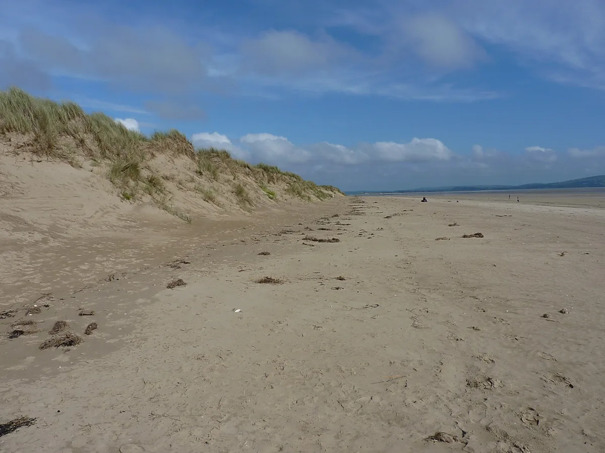
Pembrey Beach
Beaches · 1.0 km

Careg Llwyd
Vineyards · 2.1 km

S. V. Paul
Natural landmarks · 2.1 km

Pembrey
Villages · 2.1 km

Former canal overbridge
Historic bridges · 2.1 km

Shipwreck 1873
Museums · 2.1 km

Court Wood
Vineyards · 2.3 km
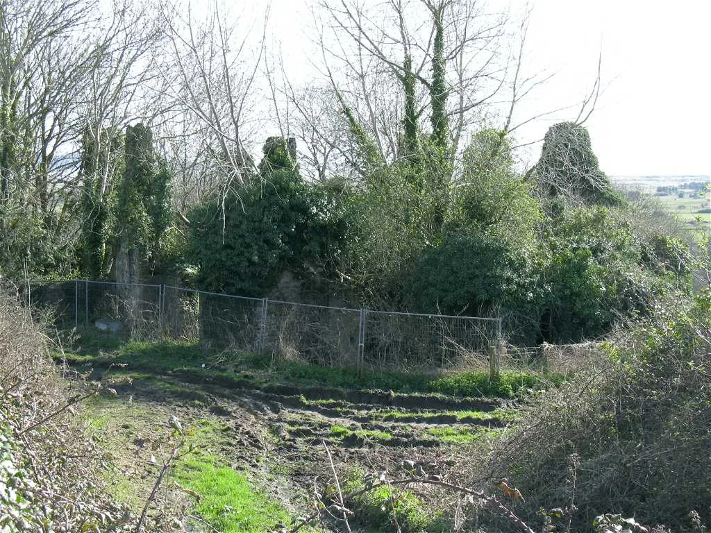
Court Farm, Pembrey
Stately homes · 2.3 km

Pembrey Forest
Battlefields & battle sites · 2.9 km

Le Jeune Emma
Museums · 3.1 km
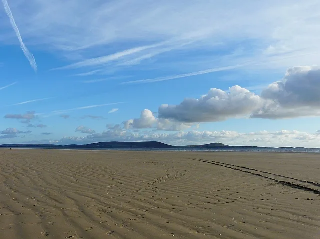
Cefn Sidan
Beaches · 3.2 km
Nearby
📷 5Caravan parks · South Wales
Pembrey Country Park Caravan Club Site
Pembrey Country Park Caravan Club Site — a caravan park in wales south.
📷 3📷 5Vineyards · South Wales
Careg Llwyd
Careg Llwyd — a UK vineyard in wales south, producing English or Welsh wine from cool-climate grape varieties.
📷 3📷 5📷 5Historic bridges · South Wales
Former canal overbridge
Former canal overbridge — Grade II listed building-listed bridge in wales-south, United Kingdom.
Where to eat & stay near Pembrey Country Park
Places to stay
📷 5Caravan parks · South Wales
Pembrey Country Park Caravan Club Site
Pembrey Country Park Caravan Club Site — a caravan park in wales south.
 📷 5
📷 5Caravan parks · South Wales
Shoreline Caravan Park
Shoreline Caravan Park — a caravan park in wales south.
 📷 5
📷 5Caravan parks · South Wales
Whitford Bay Caravan Park
Whitford Bay Caravan Park — a caravan park in wales south.
 📷 5
📷 5Caravan parks · South Wales
Carmarthen Bay Holiday Park
Carmarthen Bay Holiday Park — a caravan park in wales south. Brand: Parkdean Resorts.
 📷 5
📷 5Campsites · South Wales
Phillistone Farm
Phillistone Farm — a campsite in wales south.
 📷 3
📷 3Caravan parks · South Wales
Fforest Fach Caravan Park
Fforest Fach Caravan Park — a caravan park in wales south.
Places to eat & drink
 📷 5
📷 5
Restaurants · South Wales
The Bridge
The Bridge — a restaurant in wales south.
 📷 5
📷 5Restaurants · South Wales
Beach House
Beach House — a restaurant in wales south.
 📷 5
📷 5 📷 5
📷 5Restaurants · South Wales
The Cockleshell
The Cockleshell — a restaurant in wales south. Cuisine: british. Brand: Toby Carvery.
 📷 3
📷 3More places in this region
.jpg?width=1200) 📷 4
📷 4Country parks · South Wales
Bailey Park
Bailey Park — park in Abergavenny, Monmouthshire, Wales, UK.
 📷 3
📷 3Country parks · South Wales
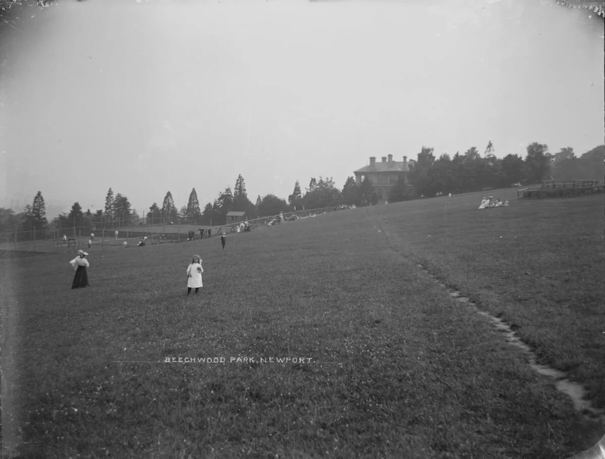
Beechwood Park
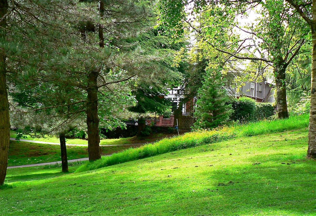
Beechwood Park is a country park in the United Kingdom.
 📷 3
📷 3Country parks · South Wales
Cwmdonkin Park
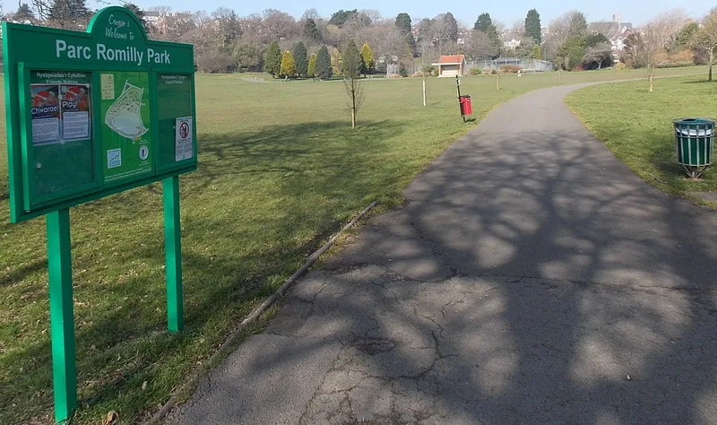
Cwmdonkin Park — park in Swansea, Wales.
 📷 3
📷 3Frequently asked questions
- Where is Pembrey Country Park?
- Pembrey Country Park is in South Wales, United Kingdom (postcode SA16 0EJ), in the parish of Pembrey and Burry Port Town.
- What is Pembrey Country Park?
- Pembrey Country Park is a country park on the coast of South Wales, located near the village of Pembrey, Carmarthenshire, and the town of Llanelli. Pembrey Country Park consists of some 500 acres (200
- How do I get to Pembrey Country Park?
- The nearest railway station is Pembrey and Burry Port, about 3.9 km away. Drivers can use postcode SA16 0EJ.
- Is Pembrey Country Park free to visit?
- Yes, Pembrey Country Park is free to enter.
- How do I get to Pembrey Country Park?
- The nearest railway station is Pembrey and Burry Port, about 3.9 km away. Drivers can navigate to postcode SA16 0EJ.