
Villages · East Midlands
Peak Forest
In or near Wheston.
Peak Forest — a village in england east midlands.

Eirian Evans — CC BY-SA 2.0 via Wikimedia Commons licence

Plan your visit
- Typical visit
- 1 h–2 h
- Nearest railway station
- Dove Holes · 4.0 km
About
A British village — settlements of this size traditionally cluster a green, parish church, pub and post office around historic land routes.
Photo gallery
See it from the streetimagery from 2019
Imagery © Mapillary contributors, CC BY-SA 4.0
Place summary
Peak Forest is a village located in the East Midlands region of England. It is characterised by its scenic landscapes and proximity to the Peak District National Park. Visitors can expect a tranquil rural setting, with opportunities for walking and exploring the surrounding countryside. The village serves as a base for those wishing to experience the natural beauty of the area, offering a glimpse into traditional village life in the region.
AI-generated from the structured facts on this page (operator, designation, listing, era). Not a substitute for visiting.
- Coordinates
- 53.3101, -1.8311
- County
- Derbyshire
- District
- High Peak
- Parish
- Peak Forest
- Postcode
- SK17 8EF
- Parliamentary constituency
- High Peak
- Nearest railway station
- Dove Holes — 4 km
Sources
- manual: geonames-2640547 (CC BY 4.0)
Other places nearby

Ox Low
Mountains & hills · 1.6 km

Eldon Hole
Caves · 1.7 km
Eldon Hole
Caves · 1.7 km

Convenience Cave
Caves · 1.9 km
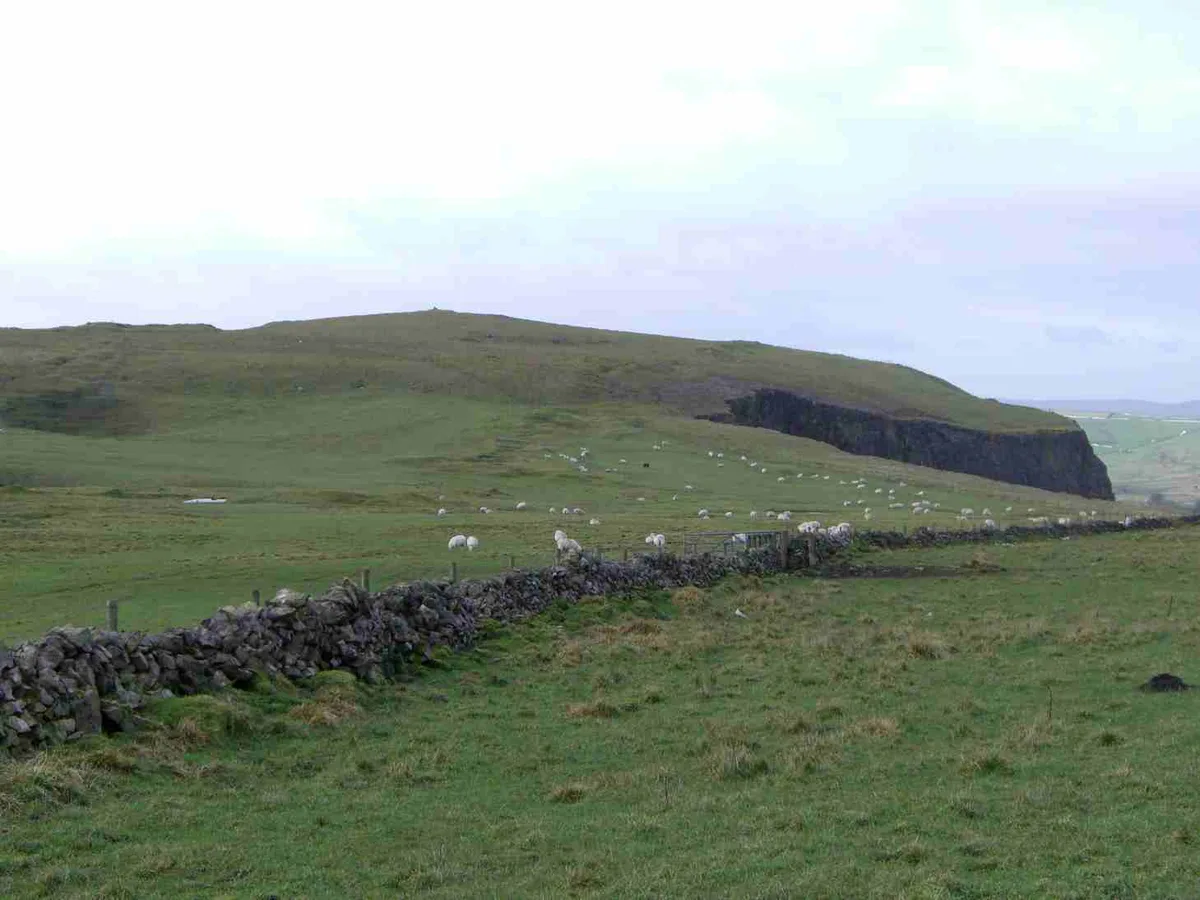
Eldon Hill
Mountains & hills · 1.9 km

Perry Dale bowl barrow and long barrow
Burial mounds & barrows · 2.0 km

Harrod Low
Archaeological sites · 2.0 km

Bradwell Moor
Mountains & hills · 2.0 km
Bradwell Moor
Mountains & hills · 2.0 km

Bee Low
Mountains & hills · 2.1 km

Coalpithole Rake: Rake Shaft
Caves · 2.1 km
Rake Shaft
Caves · 2.1 km
Nearby
📷 5Mountains & hills · East Midlands
Ox Low
Ox Low — mountain in england east midlands. Elevation: 430 m.
📷 5📷 5Caves · East Midlands
Eldon Hole
Eldon Hole — a cave broad in england-east-midlands, United Kingdom.
📷 5Caves · East Midlands
Convenience Cave
Convenience Cave — a cave broad in england-east-midlands, United Kingdom.
📷 3📷 3Burial mounds & barrows · East Midlands
Perry Dale bowl barrow and long barrow
Perry Dale bowl barrow and long barrow — a burial mound in england-east-midlands, United Kingdom.
Where to eat & stay near Peak Forest
Places to stay
 📷 5
📷 5Campsites · East Midlands
Rowter Farm Campsite
Rowter Farm Campsite — a campsite in england east midlands.
 📷 5
📷 5Hostels · East Midlands
Dalehead Bunkhouse & Information Barn
Dalehead Bunkhouse & Information Barn — a hostel in england east midlands.
 📷 5
📷 5Hostels · East Midlands
Technical Speleological Group
Technical Speleological Group — a hostel in england east midlands.
 📷 5
📷 5Campsites · East Midlands
Whitmore Lea Campsite
Whitmore Lea Campsite — a campsite in england east midlands.
 📷 5
📷 5Campsites · East Midlands
Whitmore Lea Campsite
Whitmore Lea Campsite — a campsite in england east midlands.
 📷 5
📷 5Campsites · East Midlands
Waterside Farm Camp Site
Waterside Farm Camp Site — a campsite in england east midlands.
Places to eat & drink
 📷 5
📷 5Historic pubs · East Midlands
The Old Nags Head
The Old Nags Head in England Yorkshire, United Kingdom.
 📷 7
📷 7Historic pubs · East Midlands
The Three Stags' Heads
The Three Stags' Heads in England South East, United Kingdom.
 📷 5
📷 5 📷 5
📷 5Historic pubs · East Midlands
The Hare And Hounds Hotel
The Hare And Hounds Hotel in England Yorkshire, United Kingdom.
 📷 3
📷 3Historic pubs · East Midlands
Bull's Head Inn
Bull's Head Inn — Historic pub — listed building or notable heritage status.
 📷 5
📷 5Historic pubs · East Midlands
The Eyre Arms Public House
The Eyre Arms Public House in England East Midlands, United Kingdom.
More places in this region
 📷 5
📷 5 📷 5
📷 5 📷 5
📷 5 📷 5
📷 5Frequently asked questions
- Where is Peak Forest?
- Peak Forest is in Derbyshire, the East Midlands, United Kingdom (postcode SK17 8EF), in the parish of Peak Forest.
- What is Peak Forest?
- Peak Forest — a village in england east midlands.
- How do I get to Peak Forest?
- The nearest railway station is Dove Holes, about 4.0 km away. Drivers can use postcode SK17 8EF.
- How do I get to Peak Forest?
- The nearest railway station is Dove Holes, about 4.0 km away. Drivers can navigate to postcode SK17 8EF.