
Archaeological sites · South West England
Pawton Quoit
In or near Burgois.
Pawton Quoit — a archaeological in england south west.

Wikimedia Commons — via Wikidata P18 licence

Plan your visit
- Typical visit
- 45 min–1.5 h
- Nearest railway station
- Boscarne Junction · 7.9 km
About
Pawton Quoit is a archaeological located in england south west, United Kingdom. Sourced from OpenStreetMap (© OpenStreetMap contributors, ODbL licence); see local listings or the operator's own site for current opening hours, admission prices and visitor information.
Protected designations
- Site of Special Scientific Interest: River Camel Valley and Tributaries SSSI
- Area of Outstanding Natural Beauty: Cornwall
Designations sourced from Natural England open data under OGL v3.
- Coordinates
- 50.4908, -4.8692
- District
- Cornwall
- Parish
- St. Breock
- Postcode
- PL27 7LJ
- Parliamentary constituency
- North Cornwall
- Nearest railway station
- Boscarne Junction — 7.9 km
Sources
- osm: n14159209003 (ODbL)
- wikidata: Q20751091 (CC0)
Other places nearby

Saint Breock Down
Mountains & hills · 0.9 km
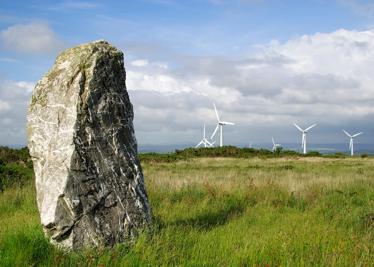
St Breock Downs Monolith
Hill forts · 1.3 km
St Breock Beacon
Mountains & hills · 1.4 km

Standing stone 815m west of St Breock Downs Farm
Windmills · 1.5 km

The Laurels Holiday Park
Campsites · 2.2 km

St Breock
Historic churches · 2.5 km

Saint Issey
Villages · 3.5 km
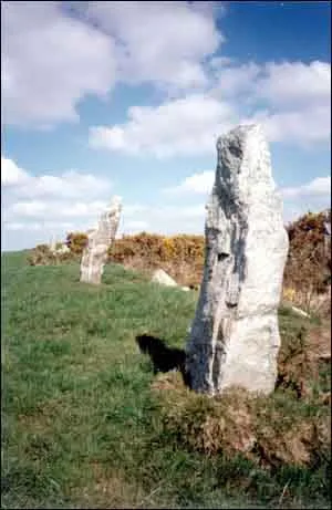
Nine Maidens stone row
Hill forts · 3.6 km

Regal
Cinemas · 3.6 km

Town Hall
Open-air theatres · 3.6 km

Trewince Farm Holiday Park
Campsites · 3.6 km

Rosenannon
Historic churches · 3.6 km
Nearby
📷 5Mountains & hills · South West England
Saint Breock Down
Saint Breock Down — a hill or mountain in england south west.
📷 3Hill forts · South West England
St Breock Downs Monolith
St Breock Downs Monolith — Prehistoric standing stone in Cornwall, England.
📷 5Mountains & hills · South West England
St Breock Beacon
St Breock Beacon — a hill or mountain in england south west.
📷 5Windmills · South West England
Standing stone 815m west of St Breock Downs Farm
Standing stone 815m west of St Breock Downs Farm — a post mill in england-south-west, United Kingdom.
📷 5Campsites · South West England
The Laurels Holiday Park
The Laurels Holiday Park — a campsite in england south west.
📷 5Historic churches · South West England
St Breock
St Breock — a church in england-south-west, United Kingdom.
Where to eat & stay near Pawton Quoit
Places to stay
📷 5Campsites · South West England
The Laurels Holiday Park
The Laurels Holiday Park — a campsite in england south west.
📷 5Campsites · South West England
Trewince Farm Holiday Park
Trewince Farm Holiday Park — a campsite in england south west.
 📷 5
Caravan parks · South West England
Little Bodieve Caravan Park
Little Bodieve Caravan Park — a caravan park in england south west.
 📷 4
Caravan parks · South West England
Little Dinham Caravan Park
Little Dinham Caravan Park — a caravan park in england south west.
 📷 5
Caravan parks · South West England
Dinham Caravan Park
Dinham Caravan Park — a caravan park in england south west.
 📷 5
Campsites · South West England
Ruthern Valley Campsite
Ruthern Valley Campsite — a campsite in england south west.
Places to eat & drink
 📷 6
Historic pubs · South West England
The Shipwrights
The Shipwrights in England South West, United Kingdom.
 📷 7
Historic pubs · South West England
Methodist Chapel
Methodist Chapel in England South West, United Kingdom.
 📷 7
Restaurants · South West England
Slipway Hotel
Slipway Hotel — a restaurant in england south west.
 📷 7
Restaurants · South West England
Outlaws Fish Kitchen
Outlaws Fish Kitchen — a restaurant in england south west.
 📷 7
Restaurants · South West England
Nathan Outlaw
Nathan Outlaw — a restaurant in england south west.
 📷 5
More archaeological sites in this region
 📷 5
Archaeological sites · South West England
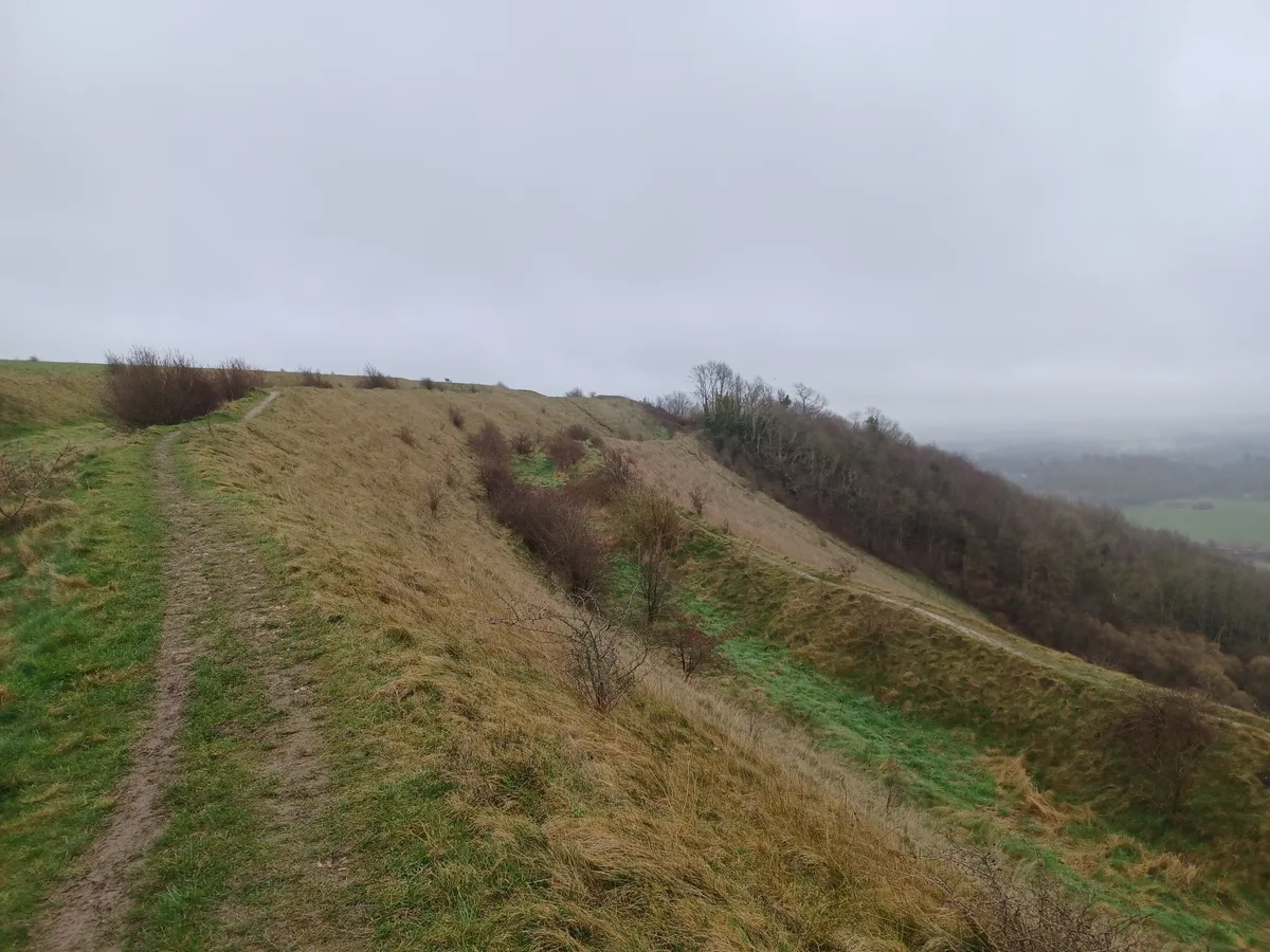
Battlesbury Camp Monuments: hillfort, settlement, cemetery, barrows, enclosure, and field systems
Battlesbury Camp Monuments: hillfort, settlement, cemetery, barrows, enclosure, and field systems — archaeological site in Warminster, Wiltshire, England, UK.
 📷 5
Archaeological sites · South West England
Blandford Forest
Blandford Forest — forest in Blandford Forum, England.
 📷 5
Archaeological sites · South West England
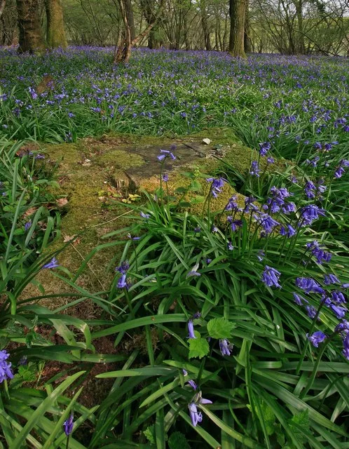
Boulsbury Wood
Boulsbury Wood — protected area in Dorset and Hampshire, England.
 📷 5
Archaeological sites · South West England
Cranborne Chase
Cranborne Chase — Plateau in southern England.
Frequently asked questions
- Where is Pawton Quoit?
- Pawton Quoit is in South-West England, United Kingdom (postcode PL27 7LJ), in the parish of St. Breock.
- What is Pawton Quoit?
- Pawton Quoit — a archaeological in england south west.
- How do I get to Pawton Quoit?
- The nearest railway station is Boscarne Junction, about 7.9 km away. The nearest town is Burgois. Drivers can use postcode PL27 7LJ.
- Is Pawton Quoit a protected site?
- Yes — Pawton Quoit is part of the River Camel Valley and Tributaries SSSI Site of Special Scientific Interest and the Cornwall National Landscape (AONB).
- How do I get to Pawton Quoit?
- The nearest railway station is Boscarne Junction, about 7.9 km away. Drivers can navigate to postcode PL27 7LJ.