
Mountains & hills · Scottish Highlands
Paul Matthew Hill
In or near Johnshaven.
Paul Matthew Hill — mountain in scotland highlands. Elevation: 170 m.

Scott Cormie — CC BY-SA 2.0 via Wikimedia Commons licence

Plan your visit
- Typical visit
- 3 h–8 h
- Best time of year
- Late spring – early autumn (May–Oct)
- Nearest railway station
- Laurencekirk · 6.0 km
- Dog-friendly
About
Paul Matthew Hill is a mountain located in Scottish Highlands. Elevation: 170 m. A named British peak recorded in OpenStreetMap. Peaks are typically named on Ordnance Survey 1:50k mapping.
Photo gallery
Place summary
Paul Matthew Hill is a mountain located in the Scottish Highlands. Known for its rugged terrain and scenic vistas, it offers a challenging environment for outdoor enthusiasts. The area surrounding the hill is characterised by dramatic landscapes typical of the Highlands, making it a notable feature for hikers and climbers.
AI-generated from the structured facts on this page (operator, designation, listing, era). Not a substitute for visiting.
- Coordinates
- 56.8160, -2.3745
- District
- Aberdeenshire
- Postcode
- AB30 1HX
- Parliamentary constituency
- West Aberdeenshire and Kincardine
- Nearest railway station
- Laurencekirk — 6 km
Sources
- osm: n8138039205 (ODbL)
Other places nearby

Cloch Hill
Mountains & hills · 1.7 km

The Cloch
Archaeological sites · 1.8 km

Kenshot Hill
Mountains & hills · 2.5 km

Garvock
Villages · 2.6 km

Garvock School
Historic houses · 2.8 km
Garvock Parish Church And Graveyard
Historic churches · 3.0 km

Denfinella Bridge
Historic bridges · 3.0 km

Birnie Bridge
Historic bridges · 3.0 km

Den Finella Waterfall
Waterfalls · 3.0 km

Lauriston Castle
Castles · 3.1 km
Benholm Parish Church And Churchyard
Historic churches · 3.2 km

Bridge, Benholm Burn, Benholm
Historic bridges · 3.2 km
Nearby
📷 5Mountains & hills · Scottish Highlands
Cloch Hill
Cloch Hill — mountain in scotland highlands. Elevation: 150 m.
📷 8Archaeological sites · Scottish Highlands
The Cloch
The Cloch — an archaeological site in Scottish Highlands, United Kingdom.
📷 5Mountains & hills · Scottish Highlands
Kenshot Hill
Kenshot Hill — mountain in scotland highlands. Elevation: 200 m.
📷 5📷 5Historic houses · Scottish Highlands
Garvock School
Garvock School — a historic house in Scottish Highlands, United Kingdom.
📷 5Historic churches · Scottish Highlands
Garvock Parish Church And Graveyard
Garvock Parish Church And Graveyard — category B listed building-listed church in scotland-highlands, United Kingdom.
Where to eat & stay near Paul Matthew Hill
Places to stay
 📷 5
Campsites · Scottish Highlands
Wairds Park Campsite
Wairds Park Campsite — a campsite in scotland highlands.
 📷 5
Caravan parks · Scottish Highlands
St Cyrus Holiday Park
St Cyrus Holiday Park — a caravan park in scotland highlands.
 📷 5
Campsites · Scottish Highlands
Miltonhaven Seaside Caravan Park & Campsite
Miltonhaven Seaside Caravan Park & Campsite — a campsite in scotland highlands.
 📷 5
Caravan parks · Scottish Highlands
Ecclesgreig Holiday Park
Ecclesgreig Holiday Park — a caravan park in scotland highlands.
 📷 5
Caravan parks · Scottish Highlands
Inverbervie Caravan Park
Inverbervie Caravan Park — a caravan park in scotland highlands.
 📷 5
Caravan parks · Scottish Highlands
Tayock Park
Tayock Park — a caravan park in scotland highlands.
Places to eat & drink
 📷 5
Historic pubs · Scottish Highlands
95 High Street, Montrose
95 High Street, Montrose in Scotland Highlands, United Kingdom.
More mountains in this region
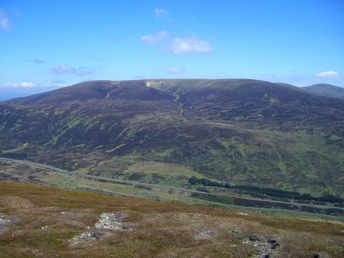 📷 3
Mountains & hills · Scottish Highlands
A' Bhuidheanach Bheag
A' Bhuidheanach Bheag — Named summit at 936 m.
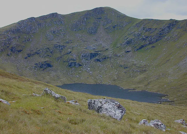 📷 3
Mountains & hills · Scottish Highlands
A' Chailleach
A' Chailleach — Named summit at 997 m.
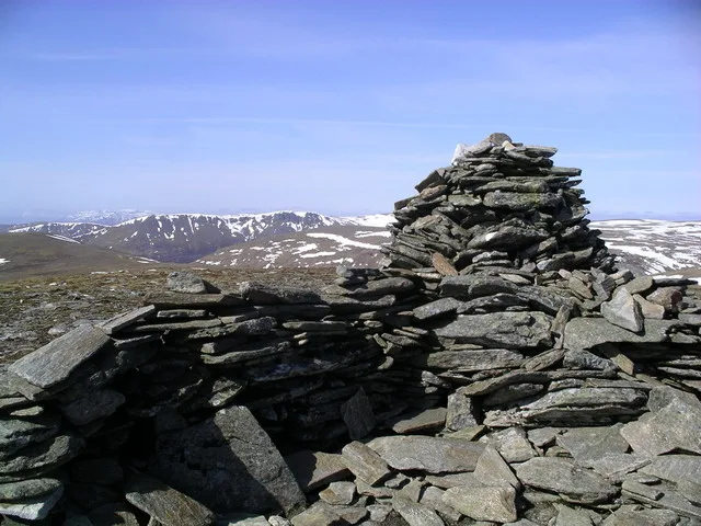 📷 3
Mountains & hills · Scottish Highlands
A' Chailleach
A' Chailleach — Named summit at 930 m.
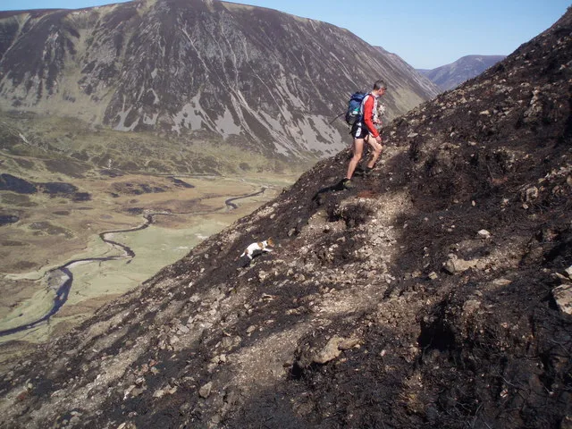 📷 3
Frequently asked questions
- Where is Paul Matthew Hill?
- Paul Matthew Hill is in the Scottish Highlands, United Kingdom (postcode AB30 1HX).
- What is Paul Matthew Hill?
- Paul Matthew Hill — mountain in scotland highlands. Elevation: 170 m.
- How do I get to Paul Matthew Hill?
- The nearest railway station is Laurencekirk, about 6.0 km away. The nearest town is Johnshaven. Drivers can use postcode AB30 1HX.
- How do I get to Paul Matthew Hill?
- The nearest railway station is Laurencekirk, about 6.0 km away. Drivers can navigate to postcode AB30 1HX.