
Hill forts · South Wales
Parc le Breos Chambered Tomb
Also known as: Parc le Breos Cwm
In or near Oxwich.
Parc le Breos Chambered Tomb — Burial chamber in Wales.

Wikimedia Commons contributors — see linked file page for photographer and licence licence

Plan your visit
- Typical visit
- 1 h–2 h
- Nearest railway station
- Gowerton · 8.6 km
- Free entry
- Family-friendly
- Dog-friendly
- Limited wheelchair access
Getting there & planning your visit
To visit Parc le Breos Chambered Tomb, the nearest railway station is Gowerton, located 8.6 km away. The postcode for sat-nav is SA3 2EH, and entry is free. Accessibility is limited for wheelchair users.
About
Parc le Breos Chambered Tomb is a hill fort in the United Kingdom. Heritage designation: scheduled monument. Owned by Cadw. Managed by Cadw. Wikidata describes it as: "Burial chamber in Wales". Coordinates: 51.5885°, -4.1127°.
Photo gallery
Heritage listing
| alt = Elevated view of the cairn in the middle distance, from its side, with deciduous trees in leaf to its rear. To its front passes a wide asphalt path, dissecting flat ground of short grass. The tumulus' trapezium shape is evident, its boulders retained by a short wall, missing at the very front, left, where the rubble has tumbled out.
From Cadw
Superb example of a Neolithic chambered tombDiscovered in 1869 by workmen digging for road stone, this chambered Neolithic (New Stone Age) tomb is one of the best preserved in this part of Wales. The two protrusions around the entrance display the typical style of the so-called ‘Cotswold-Severn’ long barrows of the region. Extensive excavations of Parc le Breos, which remained in use for between 300 and 800 years, revealed the bones of at least 40 separate individuals.
Read more on the official property page.
From the Wikipedia article
Parc Cwm long cairn (Welsh: carn hir Parc Cwm), also known as Parc le Breos burial chamber (siambr gladdu Parc le Breos), is a partly restored Neolithic chambered tomb, identified in 1937 as a Severn-Cotswold type of chambered long barrow. The cromlech, a megalithic burial chamber, was built around 5,850 years before present (BP), during the early Neolithic. It is about seven 1⁄2 miles (12 km) west south–west of Swansea, Wales, in what is now known as Coed y Parc Cwm at Parc le Breos, on the Gower Peninsula. A trapezoidal cairn of rubble – the upper part of the cromlech and its earth covering now removed – about 72 feet (22 m) long by 43 feet (13 m) (at its widest), is revetted by a low dry-stone wall. A bell-shaped, south-facing forecourt, formed by the wall, leads to a central passageway lined with limestone slabs set on end. Human remains had been placed in the two pairs of stone chambers that lead from the passageway. Corpses may have been placed in nearby caves until they decomposed, when the bones were moved to the tomb. The cromlech was discovered in 1869 by workmen digging for road stone. An excavation later that year revealed human bones (now known to have belonged to at least 40 people), animal remains, and Neolithic pottery. Samples from the site show the tomb to have been in use for between 300 and 800 years. North-West European lifestyles changed around 6000 BP, from the nomadic lives of the hunter-gatherer, to a settled life of agricultural farming: the Neolithic Revolution. However, analysis of the human remains found at Parc Cwm long cairn show the people interred in the cromlech continued to be either hunter-gatherers or herders, rather than agricultural farmers. Parc Cwm long cairn lies in a former medieval deer park, established in the 1220s CE by the Marcher Lord of Gower as Parc le Breos – an enclosed area of about 2,000 acres (810 ha), now mainly farmland. The cromlech is on the floor of a dry narrow limestone gorge containing about 500 acres…
Excerpt from Wikipedia under CC BY-SA 4.0. See the source article linked in Sources below.
Background
History
From the end of the last ice age (between 12,000 and 10,000 BP) Mesolithic hunter-gatherers began to migrate northwards from Central Europe; the area that would become known as Wales was free of glaciers by about 10,250 BP. At that time sea levels were much lower than today, and the shallower parts of what is now the North Sea were dry land. The east coast of present-day England and the coasts of present-day Denmark, Germany and the Netherlands were connected by the former landmass known as Doggerland, forming the British Peninsula on the European mainland. The post-glacial rise in sea level separated Wales and Ireland, forming the Irish Sea. Doggerland was submerged by the North Sea and,…
Description
The megalithic cromlech at Parc le Breos Cwm, known as Parc Cwm long cairn (), is a Severn-Cotswold type chambered tomb, built around 5850 BP (during the early Neolithic) in what is now known as Gower about 8 mi west of Swansea, Wales, and about miles (2 km) north of the Bristol Channel. Alternative names include Parc le Breos burial chamber (), the Long Cairn and the Giant's Grave. The cromlech consists of a north south aligned long mound of locally obtained rocks and cobbles, mainly of limestone, revetted by two coursed, dry-stone kerbs of "a fine standard". The inner wall was built using a heavier stone. Trapezoid-shaped and about 72 ft long, the cromlech tapers from 43 ft wide at its…
Sourced from Wikipedia under CC BY-SA 4.0.
- Coordinates
- 51.5885, -4.1127
- District
- Swansea
- Parish
- Ilston
- Postcode
- SA3 2EH
- Parliamentary constituency
- Gower
- Nearest railway station
- Gowerton — 8.6 km
Sources
- wikidata: Q2052501 (CC0)
- wikipedia: Parc Cwm long cairn (CC BY-SA 4.0)
- commons: Parc Cwm, Gwyr - elevated.JPG (CC BY-SA 4.0)
Other places nearby

Parc le Breos
Archaeological sites · 0.0 km
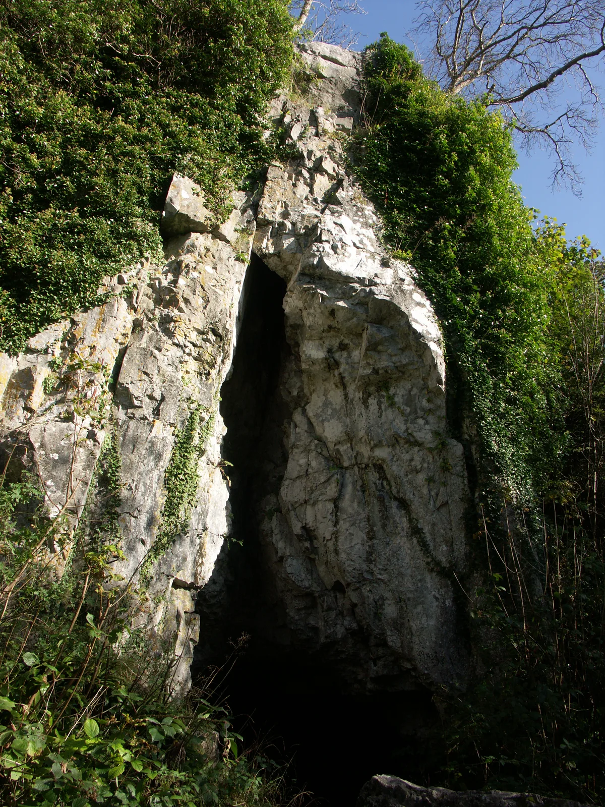
Cathole Cave
Mountains & hills · 0.2 km

Cathole Cave
Caves · 0.2 km
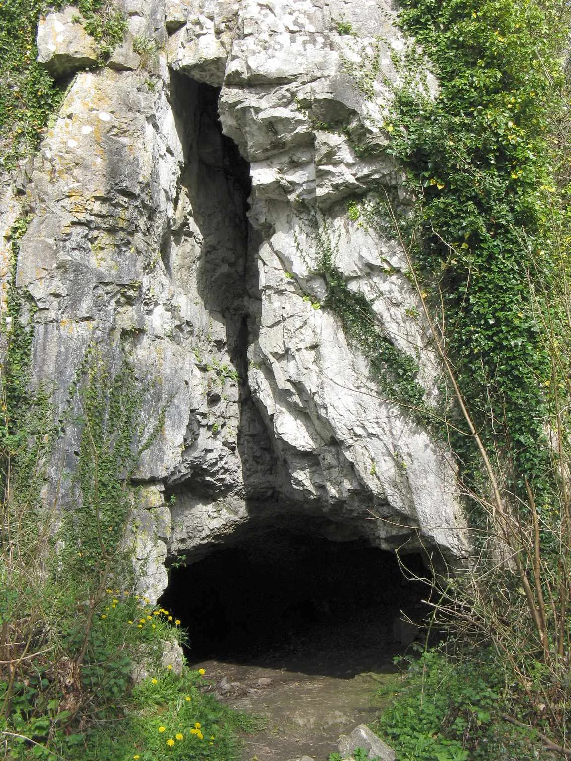
Cat Hole Cave
Mountains & hills · 0.2 km

The Woolen Mill
Natural landmarks · 0.7 km
Eggucation Centre
Natural landmarks · 0.7 km
Gamekeeper's Hut
Natural landmarks · 0.7 km
Cordwainer
Natural landmarks · 0.7 km
Gower Heritage Centre
Natural landmarks · 0.8 km
Medieval Display
Natural landmarks · 0.8 km
Farming Museum
Museums · 0.8 km
Stocks Display
Natural landmarks · 0.8 km
Nearby
📷 3Archaeological sites · South Wales
Parc le Breos
Parc le Breos — an archaeological site in South Wales, United Kingdom.
📷 3Mountains & hills · South Wales
Cathole Cave
Cathole Cave — cave and archaeological site in the United Kingdom.
📷 3📷 3📷 3Natural landmarks · South Wales
The Woolen Mill
The Woolen Mill — a place in South Wales, United Kingdom.
📷 3Natural landmarks · South Wales
Eggucation Centre
Eggucation Centre — a place in South Wales, United Kingdom.
Where to eat & stay near Parc le Breos Chambered Tomb
Places to stay
 📷 5
📷 5Campsites · South Wales
Three Cliffs Bay Holiday Park
Three Cliffs Bay Holiday Park — a campsite in wales south.
 📷 5
📷 5Campsites · South Wales
Nicholaston Farm
Nicholaston Farm — a campsite in wales south.
 📷 5
📷 5Caravan parks · South Wales
Fairfield Caravan Park
Fairfield Caravan Park — a caravan park in wales south.
 📷 5
📷 5Caravan parks · South Wales
Llanrhidian Holiday Park
Llanrhidian Holiday Park — a caravan park in wales south.
 📷 5
📷 5Caravan parks · South Wales
Blackhills Caravan Park
Blackhills Caravan Park — a caravan park in wales south.
 📷 5
📷 5Places to eat & drink
📷 5Restaurants · South Wales
Beach House
Beach House — a restaurant in wales south.
 📷 3
📷 3Restaurants · South Wales
Croeso Lounge
Croeso Lounge — a restaurant in wales south.
 📷 3
📷 3 📷 3
📷 3Restaurants · South Wales
Mermaid Cafe Bar and Restaurant
Mermaid Cafe Bar and Restaurant — a restaurant in wales south.
 📷 5
📷 5 📷 5
📷 5Restaurants · South Wales
The Lighthouse Bar & Kitchen
The Lighthouse Bar & Kitchen — a restaurant in wales south.
More places run by Cadw
 📷 5
📷 5Castles · North Wales
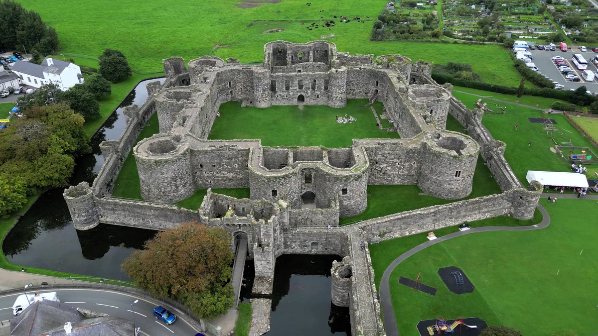
Beaumaris Castle
Beaumaris Castle — castle in Beaumaris, Anglesey, Wales.
 📷 3
📷 3Castles · North Wales
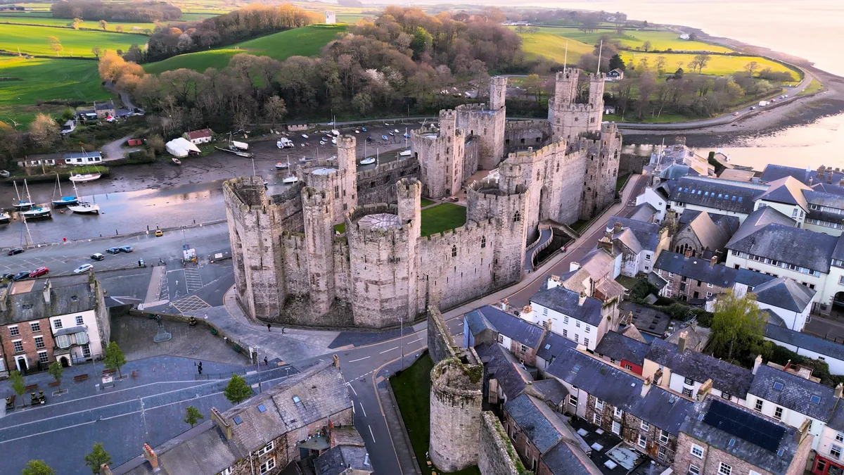
Caernarfon Castle
Caernarfon Castle — castle in Caernarfon, North Wales.
 📷 5
📷 5Castles · North Wales
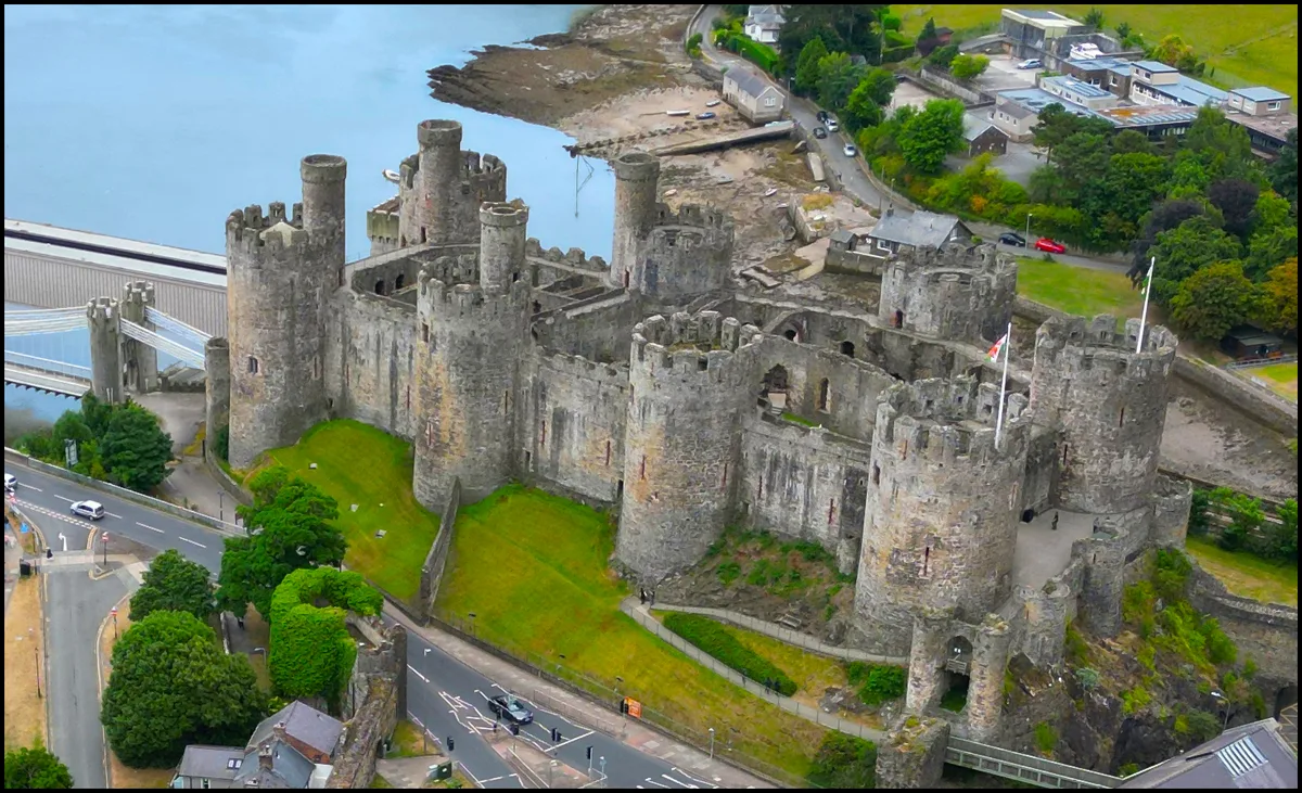
Conwy Castle
Conwy Castle — castle in Conwy, North Wales.
 📷 4
📷 4Castles · North Wales
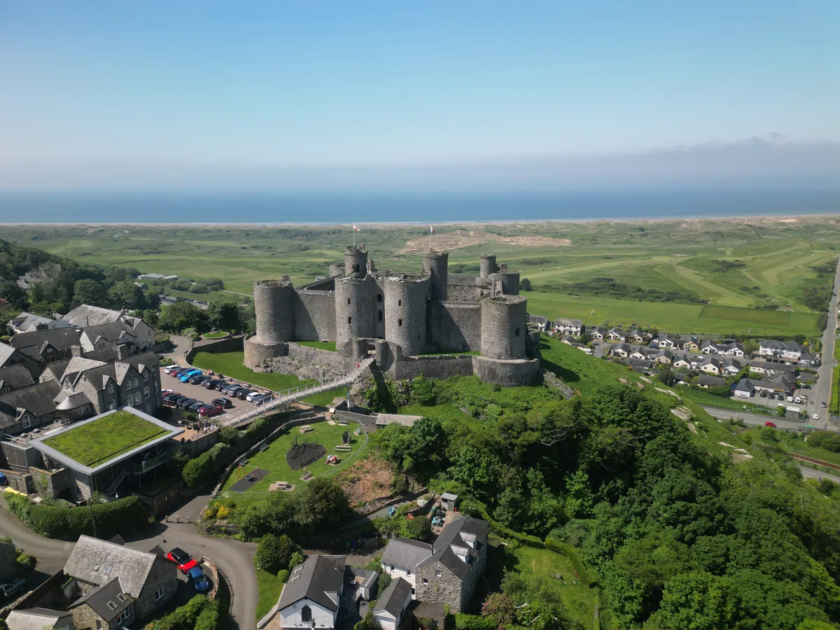
Harlech Castle
Harlech Castle — castle in Harlech, Gwynedd, Wales.
More places in this region
 📷 3
📷 3 📷 3
📷 3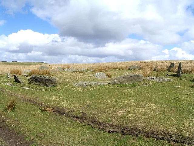 📷 3
📷 3Hill forts · South Wales
Carn Llechart
Carn Llechart — archaeological site in Neath Port Talbot County Borough, Wales, UK.
 📷 3
📷 3Hill forts · South Wales
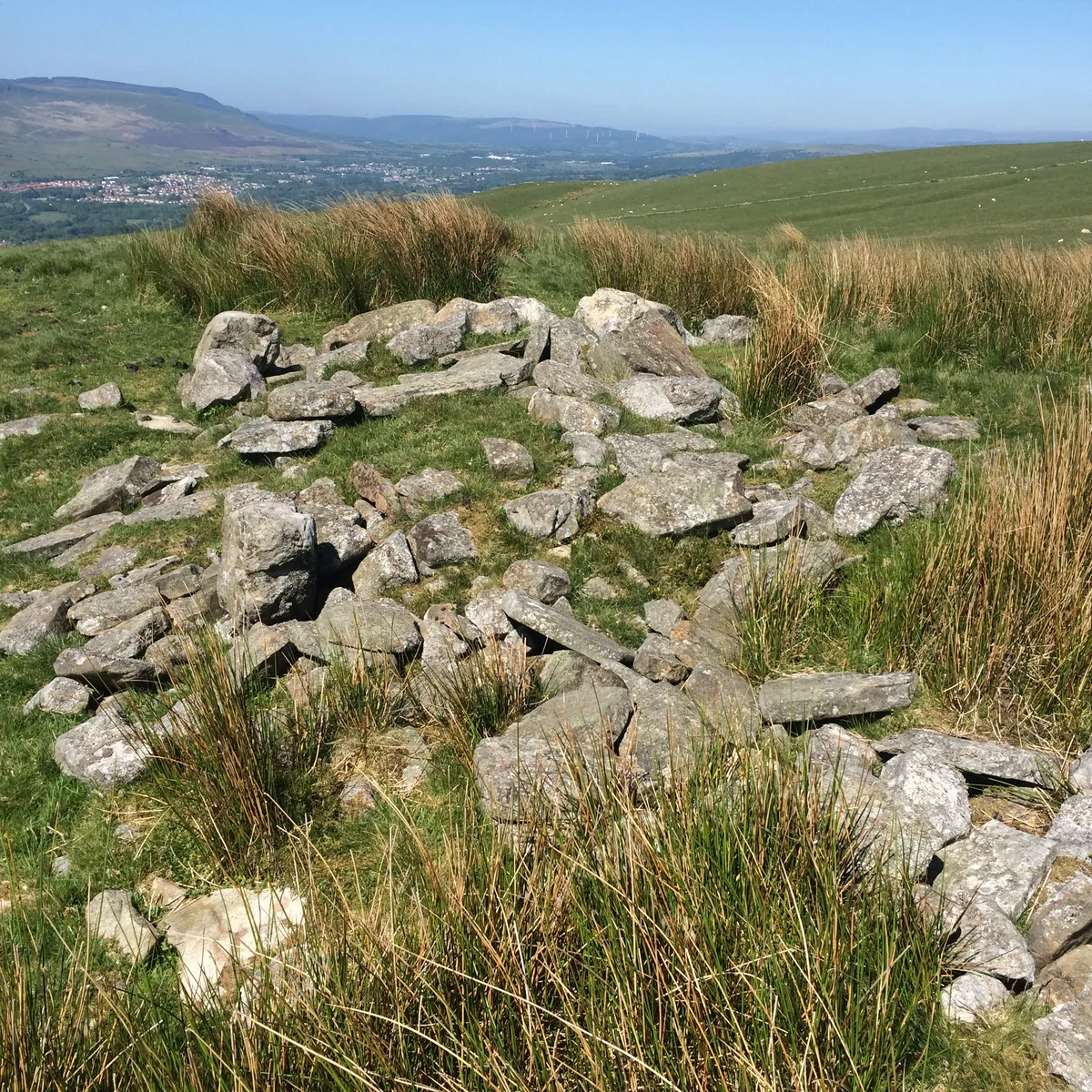
Carn Pentyle-Hir & Adjacent Round Cairn
Carn Pentyle-Hir & Adjacent Round Cairn — archaeological site in Rhondda Cynon Taf, Wales, UK.
Frequently asked questions
- Where is Parc le Breos Chambered Tomb?
- Parc le Breos Chambered Tomb is in South Wales, United Kingdom (postcode SA3 2EH), in the parish of Ilston.
- What is Parc le Breos Chambered Tomb?
- Parc le Breos Chambered Tomb — Burial chamber in Wales.
- How do I get to Parc le Breos Chambered Tomb?
- The nearest railway station is Gowerton, about 8.6 km away. The nearest town is Oxwich. Drivers can use postcode SA3 2EH.
- Who runs Parc le Breos Chambered Tomb?
- Parc le Breos Chambered Tomb is operated by Cadw.
- Is Parc le Breos Chambered Tomb a listed building?
- Parc le Breos Chambered Tomb is officially recognised as scheduled monument listed.
- Is Parc le Breos Chambered Tomb free to visit?
- Yes, Parc le Breos Chambered Tomb is free to enter.
- How do I get to Parc le Breos Chambered Tomb?
- Drivers can navigate to postcode SA3 2EH. It sits within the Gower parliamentary constituency.