
Islands · Central Scotland
Paps of Jura
Also known as: Beanntan Dhiùra
In or near Craighouse.
Paps of Jura in Inner Hebrides + Skye, United Kingdom.

No Body — CC BY-SA 2.0 via Wikimedia Commons licence

Plan your visit
- Typical visit
- 4 h–12 h
- Free entry
- Dog-friendly
About
Paps of Jura is a place of interest in Inner Hebrides + Skye, United Kingdom — drawn from open-data sources for visitor reference. See the linked Wikipedia article for the full description.
Photo gallery
From the Wikipedia article
The Paps of Jura (Scottish Gaelic: Sgùrr na Cìche) are three mountains on the western side of the island of Jura, in the Inner Hebrides of Scotland. Their highest point is 2,575 feet (785 m). They are steep-sided quartzite hills with distinctive conical shapes resembling breasts. The word pap is an ancient word of Old Norse origin for the breast. The Paps are conspicuous hills that dominate the island landscape as well as the landscape of the surrounding area. They can be seen from the Mull of Kintyre and, on a clear day, Skye, Northern Ireland, and Malin Head. One of the simplest routes of ascent starts from Craighouse. The route of the annual Isle of Jura Fell Race includes all three Paps and four other hills. When viewed from Kintraw Argyll the midwinter sun briefly shines between two of the paps just before setting. These hills were the subject of William McTaggart's 1902 painting The Paps of Jura, now displayed in the Kelvingrove Art Gallery and Museum.
Excerpt from Wikipedia under CC BY-SA 4.0. See the source article linked in Sources below.
- Coordinates
- 55.8875, -6.0194
- Address
- Jura, Scotland
Sources
- wikidata: Q1630921 (CC0)
- wikipedia: Paps of Jura (CC BY-SA 4.0)
Other places nearby
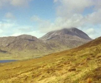
Beinn a' Chaolais
Natural landmarks · 0.1 km
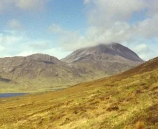
Beinn a' Chaolais
Mountains & hills · 0.1 km

Beinn Mhearsamail
Mountains & hills · 1.0 km

Paps of Jura
Mountains & hills · 1.4 km

Beinn an Oir
Mountains & hills · 1.9 km
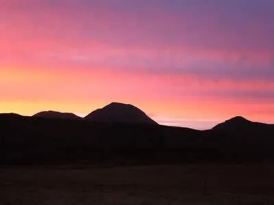
Beinn an Òir
Natural landmarks · 1.9 km

Loch Cnoc a' Charraich
Lakes · 1.9 km
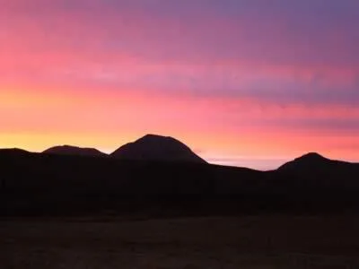
Beinn an Òir
Mountains & hills · 1.9 km
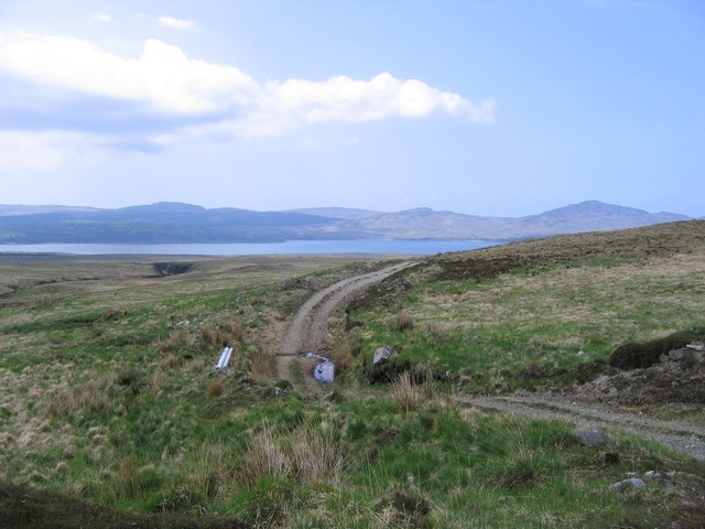
Lochan Gleann Astaile
Lakes · 2.0 km

Cnoc na Sgrioba
Mountains & hills · 2.6 km
Loch an Òir
Lakes · 2.6 km

Cnuic Charrach
Mountains & hills · 2.7 km
Nearby
📷 3Natural landmarks · Central Scotland
Beinn a' Chaolais
Beinn a' Chaolais — mountain in Argyll and Bute, Scotland, UK.
📷 3Mountains & hills · Central Scotland
Beinn a' Chaolais
Beinn a' Chaolais — Named summit at 733 m.
📷 5Mountains & hills · Central Scotland
Beinn Mhearsamail
Beinn Mhearsamail — a hill or mountain in scotland highlands.
📷 5Mountains & hills · Central Scotland
Paps of Jura
Paps of Jura — a hill or mountain in scotland highlands.
📷 5Mountains & hills · Central Scotland
Beinn an Oir
Beinn an Oir — a hill or mountain in scotland highlands.
📷 3Where to eat & stay near Paps of Jura
Places to stay
 📷 5
📷 5Hotels · Central Scotland
Port Askaig Hotel
Port Askaig Hotel — a hotel in scotland highlands.
 📷 5
📷 5Campsites · Central Scotland
Jura Hotel campsite
Jura Hotel campsite — a campsite in scotland highlands.
 📷 5
📷 5 📷 5
📷 5Hotels · Central Scotland
Bridgend Hotel
Bridgend Hotel — a hotel in scotland highlands.
 📷 5
📷 5 📷 4
📷 4Hotels · Central Scotland
Colonsay Inn, Colonsay
Colonsay Inn, Colonsay in Scotland Islands, United Kingdom.
More places in this region
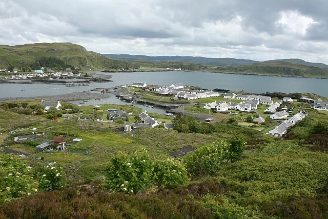 Flagship📷 5
Islands · Central Scotland
Easdale
Easdale — one of the Slate Islands, in the Firth of Lorn, Scotland.
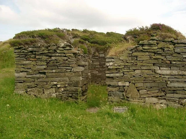 Flagship📷 5
Islands · Central Scotland
Eileach an Naoimh
Eileach an Naoimh — uninhabited island, Garvellachs, Scotland.
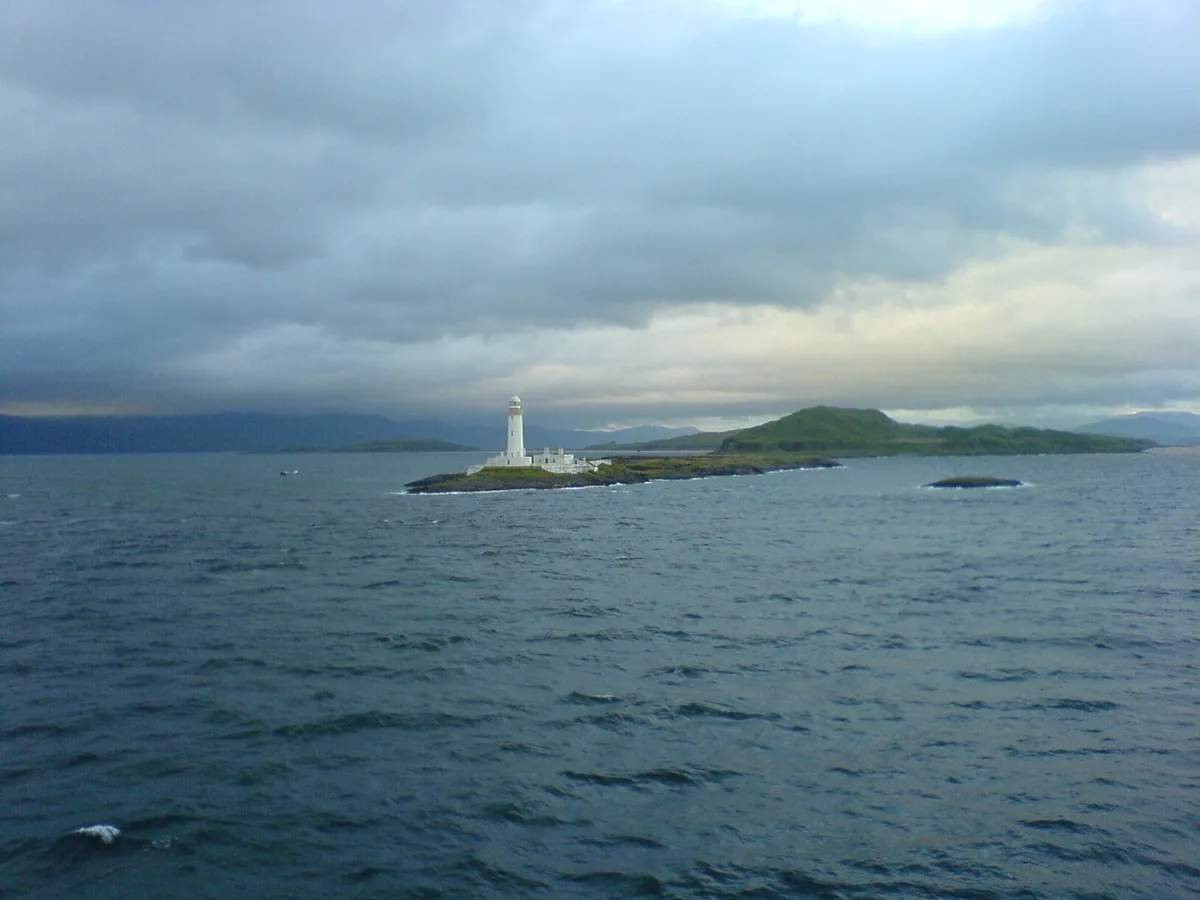 Flagship📷 3
Islands · Central Scotland
Eilean Musdile
Eilean Musdile — an islet to the south west of Lismore in the Inner Hebrides.
 📷 5
📷 5Islands · Central Scotland
Eorsa
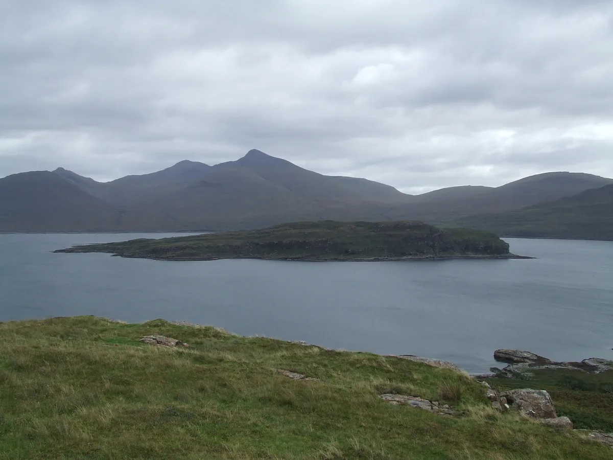
Eorsa — island. Off the coast of Mull, Scotland, in United Kingdom.
Frequently asked questions
- Where is Paps of Jura?
- Paps of Jura is in the Scottish Islands, United Kingdom.
- What is Paps of Jura?
- Paps of Jura in Inner Hebrides + Skye, United Kingdom.
- How do I get to Paps of Jura?
- Its coordinates are 55.8875°, -6.0194°.
- Is Paps of Jura free to visit?
- Yes, Paps of Jura is free to enter.