
Historic houses · South Wales
Pant Chapel Society of Friends
In or near Raglan.
Pant Chapel Society of Friends — Religious Society of Friends meeting house in Llanvihangel-Ystern-Llewern.

Wikimedia Commons contributors — see linked file page for photographer and licence licence

Plan your visit
- Typical visit
- 1 h–2 h
- Family-friendly
- Limited wheelchair access
About
Pant Chapel Society of Friends is a historic house in the United Kingdom — typically a country seat, manor, or town house with notable architecture or history. Heritage designation: Grade II* listed building. Affiliated with Quakers. Address: NP25 5HN. Wikidata describes it as: "Religious Society of Friends meeting house in Llanvihangel-Ystern-Llewern". Coordinates: 51.8220°, -2.8379°.
Photo gallery
Protected designations
- Site of Special Scientific Interest: River Wye SSSI
Designations sourced from Natural England open data under OGL v3.
From the Wikipedia article
The Pant, Llanvihangel-Ystern-Llewern, Monmouthshire is a hall-house dating from the 16th century with an attached 17th century Quaker meeting house. It is a Grade II* listed building.
Excerpt from Wikipedia under CC BY-SA 4.0. See the source article linked in Sources below.
Background
History
The original hall house dates from the mid-16th century. It is a "remarkably unaltered" late-medieval house. The Quaker meeting house was constructed in the 17th century, and the architectural historian John Newman notes the date of 1687 on a beam in the house may refer to the meeting house's construction. Walter Jenkins, an early Quaker, and son of Thomas Jenkins who was the rector at Llanvihangel-ystern-llewern, was born at the house. He was imprisoned for his beliefs at Monmouth and died in 1661. His daughter Elizabeth, mother of Elisha Beadles, married John Beadles and they lived at the Pant in the later 17th century. John Beadles is the likely builder of the meeting house. In the 20th…
Architecture
The late medieval hall-house dates from the mid-16th century and has cruck-truss end walls which were subsequently rebuilt in brick. It has a roof of Welsh slate and two prominent chimney stacks. The meeting house is of brick, with two storeys and a basement. The interiors of both houses have been little altered since their construction and The Pant is a Grade II* listed building, its designation record describing it as "a medieval hall-house with Quaker Meeting House retaining original detail of remarkably high quality".
Sourced from Wikipedia under CC BY-SA 4.0.
- Coordinates
- 51.8220, -2.8379
- District
- Monmouthshire
- Parish
- Whitecastle
- Postcode
- NP25 5HN
- Parliamentary constituency
- Monmouthshire
- Official site
- www.genuki.org.uk
Sources
- wikidata: Q17744141 (CC0)
- wikipedia: The Pant, Llanvihangel-Ystern-Llewern (CC BY-SA 4.0)
- commons: The Pant - geograph.org.uk - 929444.jpg (CC BY-SA 4.0)
Other places nearby

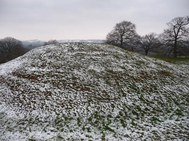
Marl Hill
Mountains & hills · 0.4 km

Tal-y-coed Court
Gardens · 1.2 km
Penrhos Castle
Castles · 1.6 km

Castle near Penrhos Church
Literary houses · 2.5 km

Penrhôs
Villages · 2.5 km

High House
Historic houses · 2.5 km
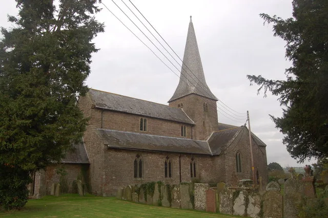
Church of St Teilo, Llantilio Crossenny
Historic churches · 2.6 km

Parc Grace Dieu
Archaeological sites · 2.8 km
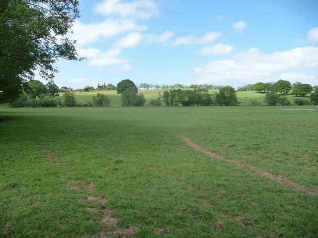
Grace Dieu Abbey, Monmouth
Abbeys & priories · 2.9 km

Grace Dieu Abbey, Monmouth
Cathedrals · 2.9 km

Hen Gwrt Moated Site
Historic houses · 3.0 km

Hen Gwrt Moated Site
Archaeological sites · 3.0 km
Nearby
📷 5📷 4📷 3📷 5Literary houses · South Wales
Castle near Penrhos Church
Castle near Penrhos Church — a literary house museum in wales south.
📷 5📷 3Where to eat & stay near Pant Chapel Society of Friends
Places to stay
 📷 5
📷 5Campsites · South Wales
Hendre Farmhouse Orchard Campsite
Hendre Farmhouse Orchard Campsite — a campsite in wales south.
 📷 5
📷 5 📷 5
📷 5Caravan parks · South Wales
Bridge Caravan and Camping Site
Bridge Caravan and Camping Site — a caravan park in wales south.
 📷 5
📷 5Campsites · South Wales
The Bridge Caravan and campsite
The Bridge Caravan and campsite — a campsite in wales south.
 📷 5
📷 5 📷 5
📷 5Caravan parks · South Wales
White Castle Vineyard Caravan Park
White Castle Vineyard Caravan Park — a caravan park in wales south.
Places to eat & drink
 📷 5
📷 5Historic pubs · South Wales
The Green Dragon, Monmouth
The Green Dragon, Monmouth in Wales South, United Kingdom.
 📷 5
📷 5Historic pubs · South Wales
The Gatehouse
The Gatehouse in Wales South, United Kingdom.
 📷 5
📷 5 📷 5
📷 5Historic pubs · South Wales
The Punch House
The Punch House — Historic pub — listed building or notable heritage status.
 📷 5
📷 5 📷 6
📷 6More historic houses in this region
 📷 3
📷 3Historic houses · South Wales
Agincourt House
Agincourt House — Grade II* listed building in Monmouth. Building in Monmouth, Wales.
 📷 3
📷 3Historic houses · South Wales
Big House, Landshipping
Big House, Landshipping — house in Martletwy, Pembrokeshire, Wales, UK.
 📷 3
📷 3Historic houses · South Wales
Boverton Place
Boverton Place — building in Llantwit Major, United Kingdom.
 📷 3
📷 3Historic houses · South Wales
Brynderi House
Brynderi House — house in Llantilio Crossenny, Monmouthshire, Wales.
Frequently asked questions
- Where is Pant Chapel Society of Friends?
- Pant Chapel Society of Friends is in South Wales, United Kingdom (postcode NP25 5HN), in the parish of Whitecastle.
- What is Pant Chapel Society of Friends?
- Pant Chapel Society of Friends — Religious Society of Friends meeting house in Llanvihangel-Ystern-Llewern.
- How do I get to Pant Chapel Society of Friends?
- The nearest town is Raglan. Drivers can use postcode NP25 5HN.
- Who owns Pant Chapel Society of Friends?
- Pant Chapel Society of Friends is owned by Privately owned.
- Is Pant Chapel Society of Friends a listed building?
- Pant Chapel Society of Friends is officially recognised as Grade II* listed building listed.
- Is Pant Chapel Society of Friends a protected site?
- Yes — Pant Chapel Society of Friends is part of the River Wye SSSI Site of Special Scientific Interest.
- How do I get to Pant Chapel Society of Friends?
- Drivers can navigate to postcode NP25 5HN. It sits within the Monmouthshire parliamentary constituency.