Islands · Scottish Highlands
Pabay
In or near Broadford.
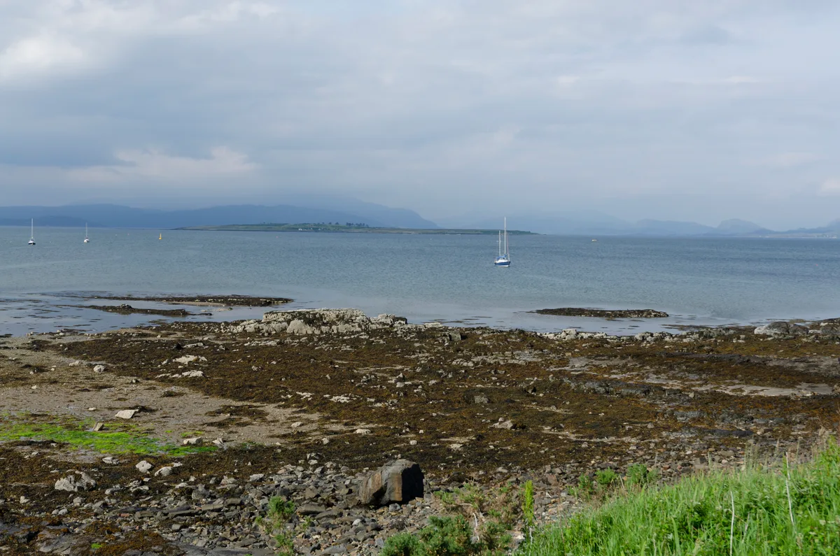
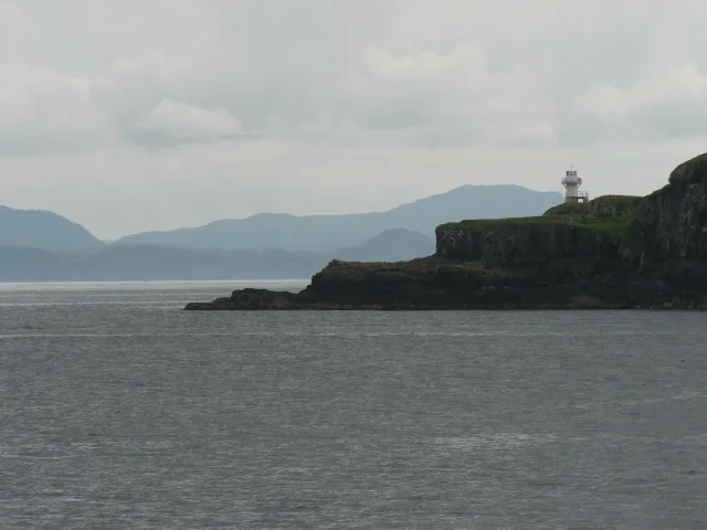
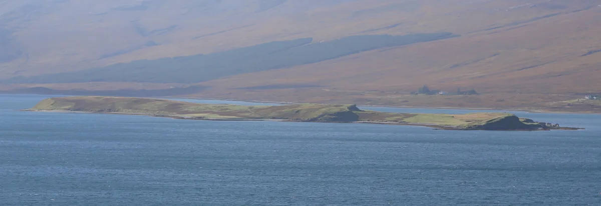
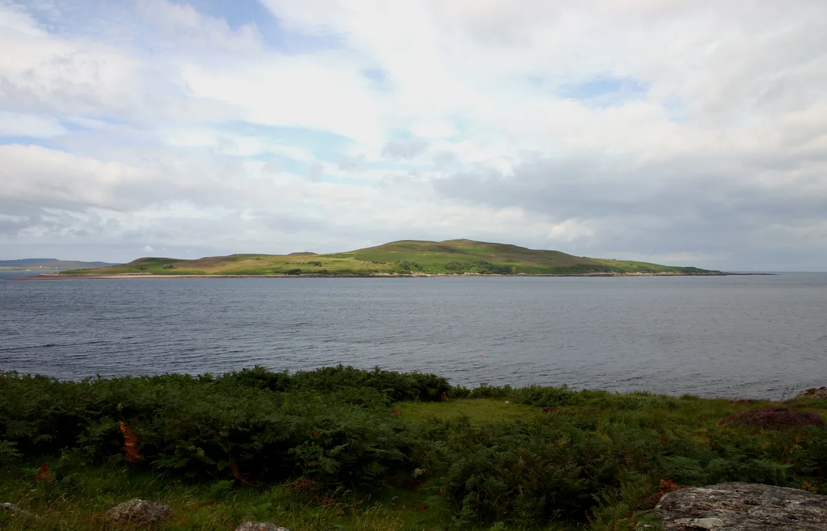
Pabay — island in Inner Hebrides, Scotland, United Kingdom.

Wikimedia Commons contributors — see linked file page for photographer and licence licence
Plan your visit
- Typical visit
- 4 h–12 h
- Nearest railway station
- Kyle of Lochalsh · 8.8 km
- Free entry
- Dog-friendly
Getting there & planning your visit
To visit Pabay in the Scottish Highlands, the nearest railway station is Kyle of Lochalsh, which is 8.8 km away. Entry to the island is free.
About
Pabay is a island in the United Kingdom. It covers approximately 1 km². Part of Inner Hebrides. Wikidata describes it as: "island in Inner Hebrides, Scotland, United Kingdom". Coordinates: 57.2750°, -5.8600°.
Photo gallery
From the Wikipedia article
Pabay is a Scottish island just off the coast of Skye. The name Pabay is derived from an old Norse word meaning "priest's isle" and there are the remains of a 13th-century chapel.
Excerpt from Wikipedia under CC BY-SA 4.0. See the source article linked in Sources below.
Background
History
Occupation of the island, in the form of midden material and lithics found in two locations, can be traced back to the prehistoric period, perhaps as far back as the Mesolithic. However, there is little evidence for settlement to bridge the gap between the Mesolithic and the sixteenth century. From this period onwards, the island is shown on maps and charts, being first named on Dutch cartographer Willem Blaeu's map of 1654. Dean Monro in 1549 gave the following description:<blockquote>At the shore of Skye foresaid, lies an isle called Pabay, near one mile in length, full of woods, good for fishing, and a main shelter for thieves and cut-throats, it pertains to Mackinnon.</blockquote> In…
Sourced from Wikipedia under CC BY-SA 4.0.
- Coordinates
- 57.2750, -5.8600
- Nearest railway station
- Kyle of Lochalsh — 8.8 km
Sources
- wikidata: Q501193 (CC0)
- wikipedia: Pabay (CC BY-SA 4.0)
- commons: Pabay from Beinn na Cro.jpg (CC BY-SA 4.0)
Other places nearby

Ross, Skye and Lochaber
Cathedrals · 2.2 km
Broadford Bay
Mountains & hills · 3.3 km

Guillamon Island
Islands · 3.5 km

Ashaig
Islands · 3.6 km

Rubh' an Èireannaich
Viewpoints · 3.7 km

Lower Breakish
Islands · 3.7 km
Upper Breakish
Islands · 3.7 km

Lusa
Villages · 3.9 km

Broadford Pier
Piers · 4.1 km

New Pier, Broadford, Skye
Piers · 4.1 km

Uamh Maolaig
Caves · 4.1 km

Breakish Cave
Caves · 4.2 km
Nearby
Flagship📷 2Cathedrals · Scottish Highlands
Ross, Skye and Lochaber
Ross, Skye and Lochaber in Scotland Islands, United Kingdom.
Mountains & hills · Scottish Highlands
Broadford Bay
Broadford Bay — bay in Highland, Scotland, UK.
📷 4Islands · Scottish Highlands
Guillamon Island
Guillamon Island — island in Highland, Scotland, UK.
📷 5📷 3Viewpoints · Scottish Highlands
Rubh' an Èireannaich
Rubh' an Èireannaich is a viewpoint in the United Kingdom.
📷 4Where to eat & stay near Pabay
Places to stay
 📷 5
📷 5Hostels · Scottish Highlands
Broadford Youth Hostel
Broadford Youth Hostel — a hostel in scotland highlands. Brand: Hostelling Scotland.
 📷 5
📷 5 📷 5
📷 5Hostels · Scottish Highlands
Broadford Backpackers Hostel
Broadford Backpackers Hostel — a hostel in scotland highlands.
 📷 5
📷 5Campsites · Scottish Highlands
Camping Skye
Camping Skye — a campsite in scotland highlands.
 📷 5
📷 5Hostels · Scottish Highlands
Skye Backpackers
Skye Backpackers — a hostel in scotland highlands.
 📷 5
📷 5Hostels · Scottish Highlands
Saucy Mary's Lodge
Saucy Mary's Lodge — a hostel in scotland highlands.
More places in this region
 Flagship📷 5
Islands · Scottish Highlands
Eigg
Eigg — one of the Small Isles in the Inner Hebrides, Scotland, UK.
 Flagship📷 5
Islands · Scottish Highlands
Eilean Choraidh
Eilean Choraidh — island in Loch Eriboll, Sutherland, Highland, Scotland, UK.
 Flagship📷 3
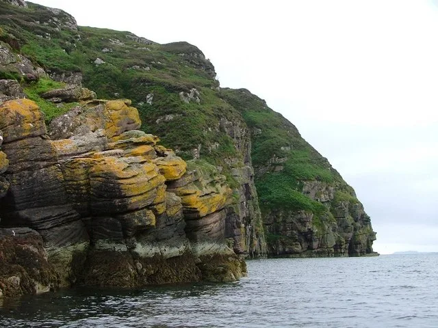 Flagship📷 5
Islands · Scottish Highlands
Isle Martin
Isle Martin — island in Highland, Scotland, UK.
Frequently asked questions
- Where is Pabay?
- Pabay is in the Scottish Highlands, United Kingdom.
- What is Pabay?
- Pabay — island in Inner Hebrides, Scotland, United Kingdom.
- How do I get to Pabay?
- The nearest railway station is Kyle of Lochalsh, about 8.8 km away. Its coordinates are 57.2750°, -5.8600°.
- Is Pabay free to visit?
- Yes, Pabay is free to enter.