
Mountains & hills · South East England
Osborne Bay
In or near Binstead.
Osborne Bay — bay on the north-east coast of the Isle of Wight, England, UK.

Wikimedia Commons contributors — see linked file page for photographer and licence licence

Plan your visit
- Typical visit
- 3 h–8 h
- Best time of year
- Late spring – early autumn (May–Oct)
- Nearest railway station
- Wootton · 4.4 km
- Free entry
- Dog-friendly
Getting there & planning your visit
To visit Osborne Bay, the nearest railway station is Wootton, located 4.4 km away. The postcode for navigation is PO32 6LA, and entry to the bay is free.
About
Osborne Bay is a named summit in the United Kingdom. Wikidata describes it as: "bay on the north-east coast of the Isle of Wight, England, UK". Coordinates: 50.7570°, -1.2540°.
Photo gallery
Protected designations
- Area of Outstanding Natural Beauty: Isle Of Wight
Designations sourced from Natural England open data under OGL v3.
From the Wikipedia article
Osborne Bay is a bay on the north-east coast of the Isle of Wight, England, in the eastern arm of the Solent. It lies to the east of East Cowes and is 1+1⁄2 miles (2.4 km) from the entrance to the River Medina. Its shoreline is 3⁄4 mile (1.2 km) in length and is gently curving. It stretches from Old Castle Point in the west to Barton Point to the east. It is named for the neighbouring Osborne House estate on the shore, which owns the land facing the bay. The bay has a beach, which is privately owned, is open to the public. It is around 300 yards long, and predominantly consists of shingle and sand. The seabed is a mixture of mud and sand, and is shallow up to around a 1⁄4 of a nautical mile out. In the summer, the bay is popular for yacht anchorage, being sheltered from the prevailing south-westerly winds, and can become very crowded.
Excerpt from Wikipedia under CC BY-SA 4.0. See the source article linked in Sources below.
Background
History
In 1845 Osborne House was bought by Queen Victoria and Prince Albert and became a popular retreat for them and the Royal Family to holiday. It was where her children learned to swim, and it the first place the Queen swam in the sea. As was popular at the time, she used an ornate Bathing machine to change and enter the water. After her death in 1901, the bathing machine was removed and the estate, including the bay, was gifted to the nation in 1902 by her successor, Edward VII. The Royal Naval College, Osborne was later established on the estate. The beach was used for troop training before the D-Day landings; during these exercises, severe damage was done to the pavilion and piers on the…
Sourced from Wikipedia under CC BY-SA 4.0.
- Coordinates
- 50.7570, -1.2540
- District
- Isle of Wight
- Parish
- East Cowes
- Postcode
- PO32 6LA
- Parliamentary constituency
- Isle of Wight West
- Nearest railway station
- Wootton — 4.4 km
Sources
- wikidata: Q7105782 (CC0)
- wikipedia: Osborne Bay (CC BY-SA 4.0)
- commons: Osborne Bay, Isle of Wight, UK.jpg (CC BY-SA 4.0)
Other places nearby

Queen Victoria's bathing machine
Natural landmarks · 0.3 km

Queen Victoria's beach shelter
Beaches · 0.3 km

Osborne House Swiss Cottage
Historic houses · 0.7 km

Osborne House Swiss Cottage Museum
Museums · 0.7 km

The Albert Barracks
Natural landmarks · 0.8 km

Osborne House Ice House
Historic houses · 1.1 km

Osborne House, Garden and Grounds
Gardens · 1.1 km

Osborne House, Garden and Grounds
Castles · 1.1 km
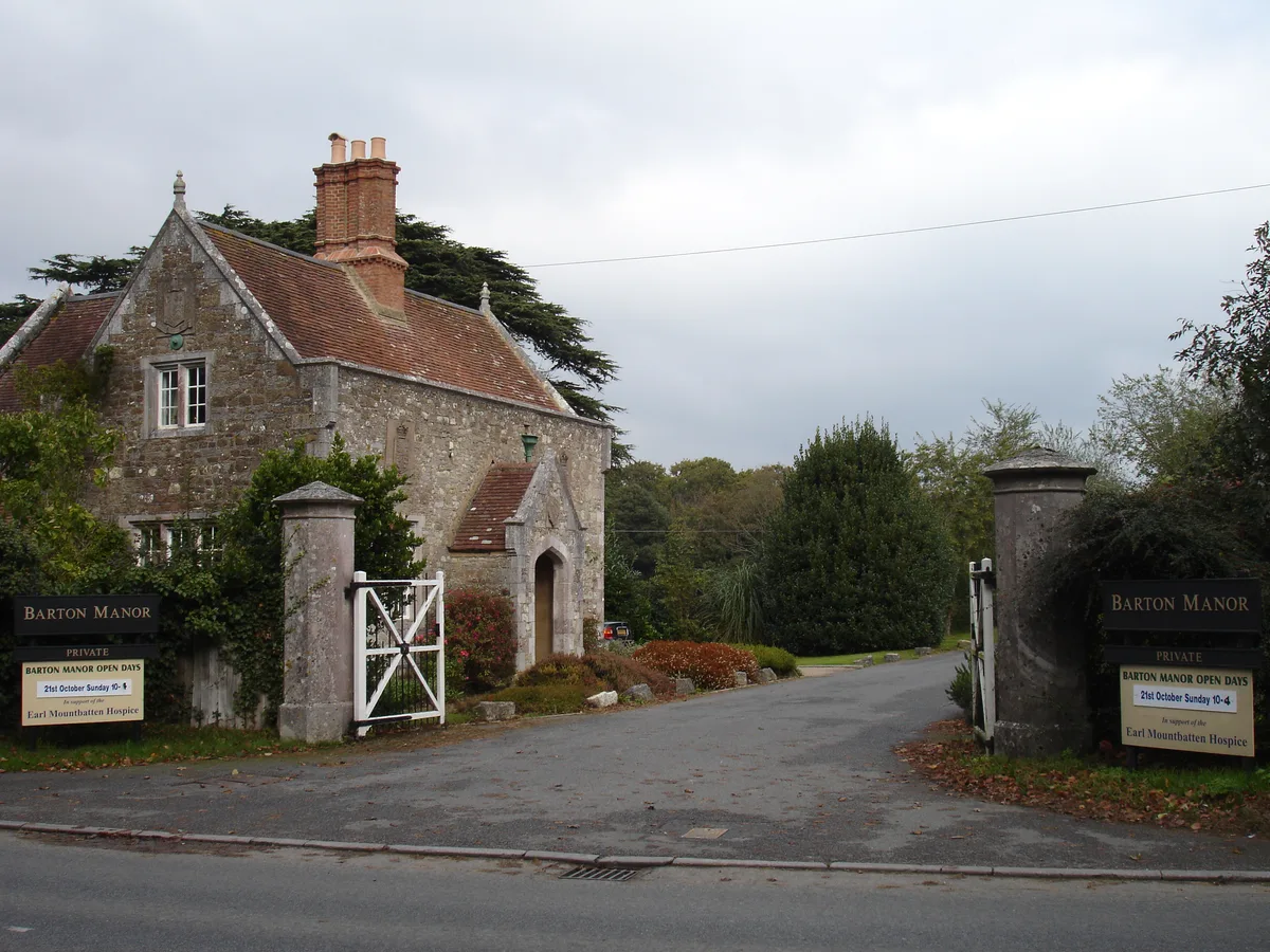
Barton Manor, Whippingham
Stately homes · 1.3 km

Osborne
Villages · 1.5 km

Walled Nursery Garden
Gardens · 1.5 km

Two Water Towers And Latrines And Store Immediately South West Of Former Stables At Osborne House
Memorials & monuments · 1.7 km
Nearby
📷 5Natural landmarks · South East England
Queen Victoria's bathing machine
Queen Victoria's bathing machine — a other in england-south-east, United Kingdom.
📷 5Beaches · South East England
Queen Victoria's beach shelter
Queen Victoria's beach shelter — a beach in england-south-east, United Kingdom.
📷 5Historic houses · South East England
Osborne House Swiss Cottage
Osborne House Swiss Cottage — a other in england-south-east, United Kingdom.
📷 5Museums · South East England
Osborne House Swiss Cottage Museum
Osborne House Swiss Cottage Museum — a museum in england-south-east, United Kingdom.
📷 5Natural landmarks · South East England
The Albert Barracks
The Albert Barracks — a other in england-south-east, United Kingdom.
📷 5Historic houses · South East England
Osborne House Ice House
Osborne House Ice House — a other in england-south-east, United Kingdom.
Where to eat & stay near Osborne Bay
Places to stay
 📷 7
📷 7 📷 4
📷 4Caravan parks · South East England
Waverley Park Caravan Park
Waverley Park Caravan Park — a caravan park in england south east.
 📷 5
📷 5B&Bs · South East England
The Duke of York
The Duke of York — a bed-and-breakfast in england south east.
 📷 5
📷 5 📷 7
📷 7 📷 7
📷 7B&Bs · South East England
Endeavour House
Endeavour House — a bed-and-breakfast in england south east.
Places to eat & drink
 📷 6
📷 6Restaurants · South East England
Cowes Tandoori
Cowes Tandoori — a restaurant in england south east.
 📷 5
📷 5Restaurants · South East England
Call It What You Want
Call It What You Want — a restaurant in england south east. Cuisine: american;barbecue.
 📷 5
📷 5 📷 5
📷 5 📷 7
📷 7Historic pubs · South East England
Wellington Tavern
Wellington Tavern in England South East, United Kingdom.
 📷 2
📷 2Historic pubs · South East England
The Castle Hotel
The Castle Hotel in England South East, United Kingdom.
More mountains in this region
 📷 5
📷 5 📷 5
📷 5Mountains & hills · South East England
Reigate Caves
Reigate Caves is a mountain or hill in the United Kingdom.
 📷 5
📷 5Mountains & hills · South East England
North Downs
North Downs — a hill or mountain in england london.
 📷 5
📷 5Mountains & hills · South East England
Blue Bell Hill
Blue Bell Hill — a hill or mountain in england london.
Frequently asked questions
- Where is Osborne Bay?
- Osborne Bay is in South-East England, United Kingdom (postcode PO32 6LA), in the parish of East Cowes.
- What is Osborne Bay?
- Osborne Bay — bay on the north-east coast of the Isle of Wight, England, UK.
- How do I get to Osborne Bay?
- The nearest railway station is Wootton, about 4.4 km away. Drivers can use postcode PO32 6LA.
- Is Osborne Bay a protected site?
- Yes — Osborne Bay is part of the Isle Of Wight National Landscape (AONB).
- Is Osborne Bay free to visit?
- Yes, Osborne Bay is free to enter.
- How do I get to Osborne Bay?
- The nearest railway station is Wootton, about 4.4 km away. Drivers can navigate to postcode PO32 6LA.