Wildlife reserves · South East England
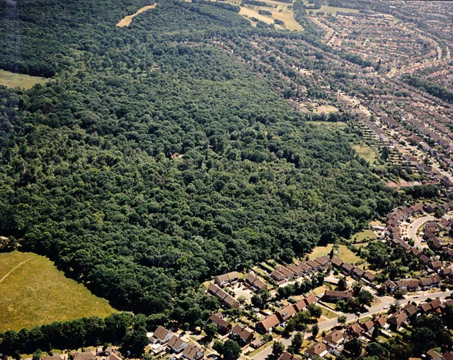
Orlestone Forest
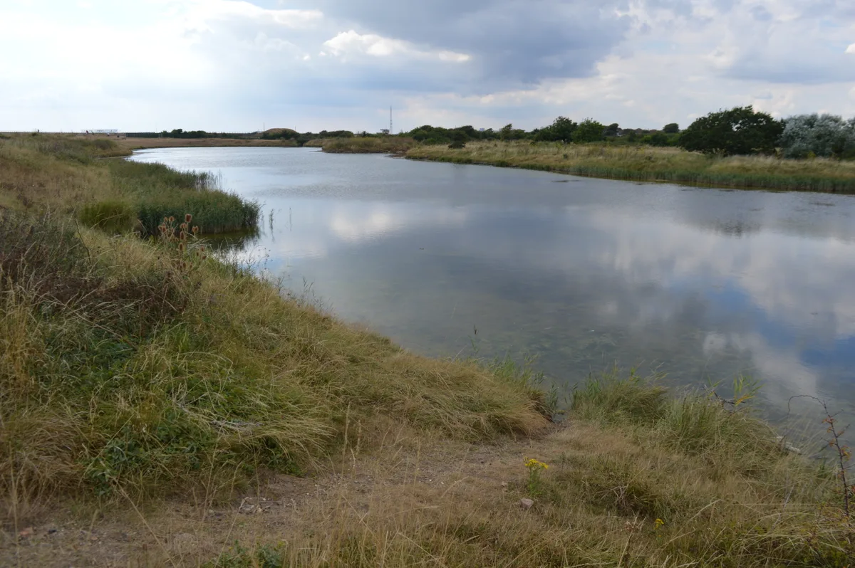
Orlestone Forest — British nature reserve.

Wikimedia Commons licence
Plan your visit
- Typical visit
- 2 h–4 h
- Best time of year
- Autumn & winter (migration & wildfowl)
- Nearest railway station
- Ham Street · 2.2 km
- Free entry
- Dog-friendly
About
Orlestone Forest is a wildlife reserve in the United Kingdom. Wikidata describes it as: "British nature reserve". Coordinates: 51.0800°, 0.8300°.
Photo gallery
Protected designations
- Site of Special Scientific Interest: Orlestone Forest SSSI
- Area of Outstanding Natural Beauty: Kent Downs
Designations sourced from Natural England open data under OGL v3.
From the Wikipedia article
Orlestone Forest is a 347.6-hectare (859-acre) biological Site of Special Scientific Interest south of Ashford in Kent. It is a Nature Conservation Review site, Grade I. This site is described by Natural England as "an important invertebrate locality of national significance". Hundreds of invertebrate species have been recorded, including 39 which are nationally rare and 134 which are nationally scarce. Several are only known in Britain on this site. A road and footpath go through the site.
Excerpt from Wikipedia under CC BY-SA 4.0. See the source article linked in Sources below.
- Coordinates
- 51.0800, 0.8300
- County
- Kent
- District
- Ashford
- Parish
- Warehorne
- Postcode
- TN26 2EL
- Parliamentary constituency
- Weald of Kent
- Nearest railway station
- Ham Street — 2.2 km
Sources
- wikidata: Q55098988 (CC0)
- wikipedia: Orlestone Forest (CC BY-SA 4.0)
Other places nearby
Loading nearby places…
Nearby
 📷 5
📷 5Historic houses · South East England
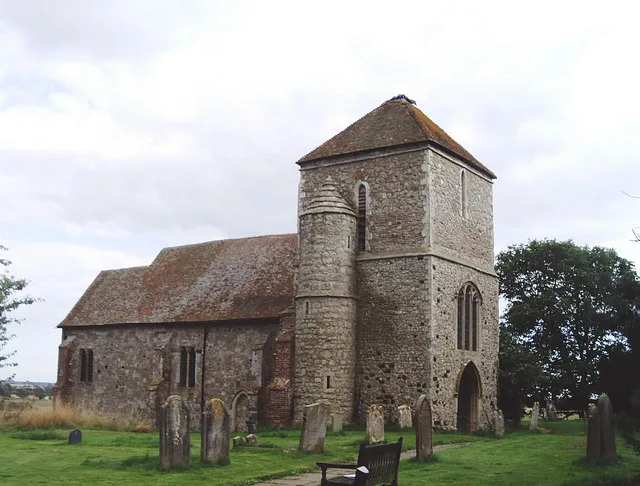
Leacon Hall
Leacon Hall — house in Warehorne, Ashford, England, UK.
 Flagship📷 10
Towns & cities · South East England
Kenardington
Kenardington — village and civil parish in Kent, United Kingdom.
 📷 5
📷 5Memorials & monuments · South East England
Memorial to Noran John Tooth
Memorial to Noran John Tooth — a memorial in england-south-east, United Kingdom.
 📷 5
📷 5Farms (open to visitors) · South East England
Canterbury Oast Trust
Canterbury Oast Trust (COT) is a registered charity in England providing accommodation, care and training for people with learning disabilities, and autistic adults in Kent. Its public site is the Sou
 📷 5
📷 5Public art & sculpture · South East England
Hamstreet Village Sign
Hamstreet Village Sign — a public art in england-south-east, United Kingdom.
📷 5Natural landmarks · South East England
Rare Breeds Centre
Rare Breeds Centre — a other in england-south-east, United Kingdom.
More places in this region
 Flagship📷 10
Wildlife reserves · South East England
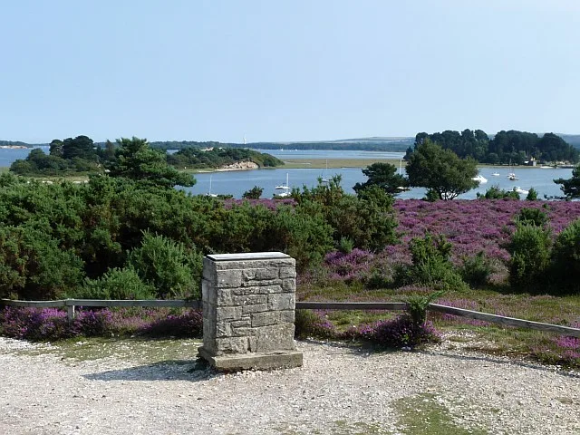
Arne RSPB reserve
Arne RSPB reserve — RSPB nature reserve in the United Kingdom.
 Flagship📷 10
Wildlife reserves · South East England
Farnham Park
Farnham Park — nature reserve in Surrey, England, UK.
 Flagship📷 10
Wildlife reserves · South East England
Great Wood and Dodd's Grove
Great Wood and Dodd's Grove — Essex Wildlife Trust Nature reserve.
 Flagship📷 10
Wildlife reserves · South East England
Gunners Park and Shoebury Ranges
Gunners Park and Shoebury Ranges — Essex Wildlife Trust Nature reserve.
Frequently asked questions
- Where is Orlestone Forest?
- Orlestone Forest is in Kent, South-East England, United Kingdom (postcode TN26 2EL), in the parish of Warehorne.
- Is Orlestone Forest a protected site?
- Yes — Orlestone Forest is part of the Orlestone Forest SSSI Site of Special Scientific Interest and the Kent Downs National Landscape (AONB).
- Is Orlestone Forest free to visit?
- Yes, Orlestone Forest is free to enter.
- How do I get to Orlestone Forest?
- The nearest railway station is Ham Street, about 2.2 km away. Drivers can navigate to postcode TN26 2EL.
- Are dogs allowed at Orlestone Forest?
- Most wildlife reserves allow dogs on lead only, with restrictions during ground-nesting bird season (March-July). Check signage at the reserve.